Loading
by BlastRoom
How a city decides what can be built where, and how tightly.
#us_hs_human_geography
30 questions
One question set, multiple game modes. Tap any game to see it in action. Not sure which to pick?
Answer to place stones and capture territory.
Outrun the snow together.
Earn blasts, then hunt the other team.
Answer to earn energy, then climb.

The class blasts through walls together.
Bid on mystery lots. Most money wins.
Sell tours. Nice, standard, or a total scam.

Answer, restock, and serve the rush.
More correct answers pulls the rope your way.
Answer, then shoot down the alien wave.
Answer, then tap to leap the frozen ridge.
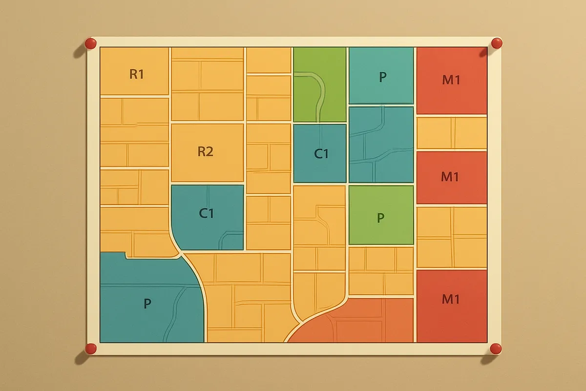
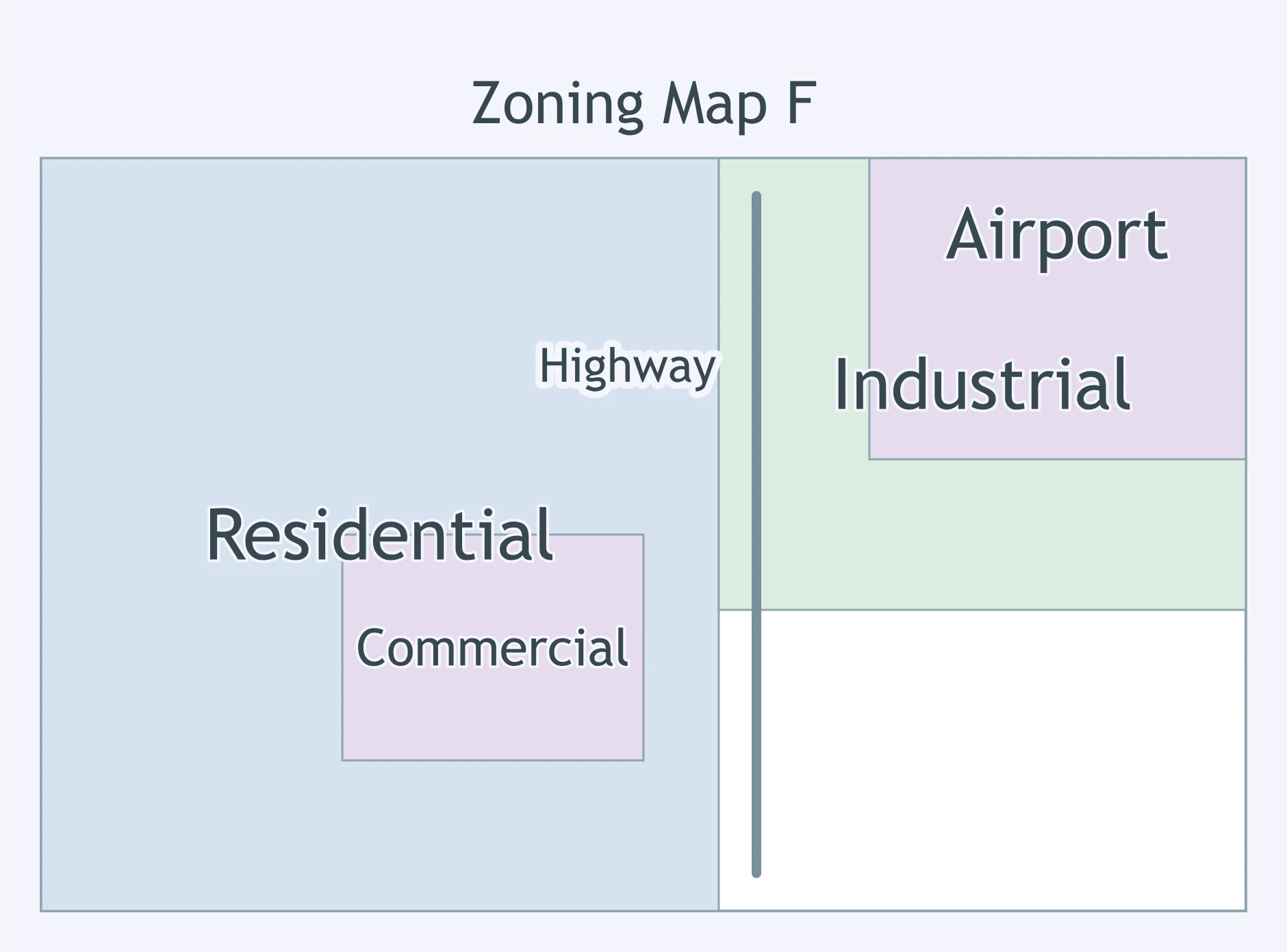
Use the zoning map. What land-use pattern does it support?
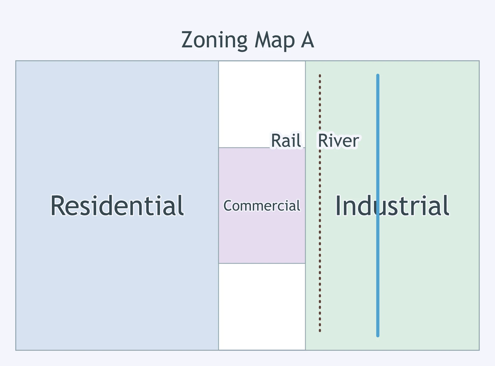
A student reads the zoning map. What statement best describes the location of commercial land?
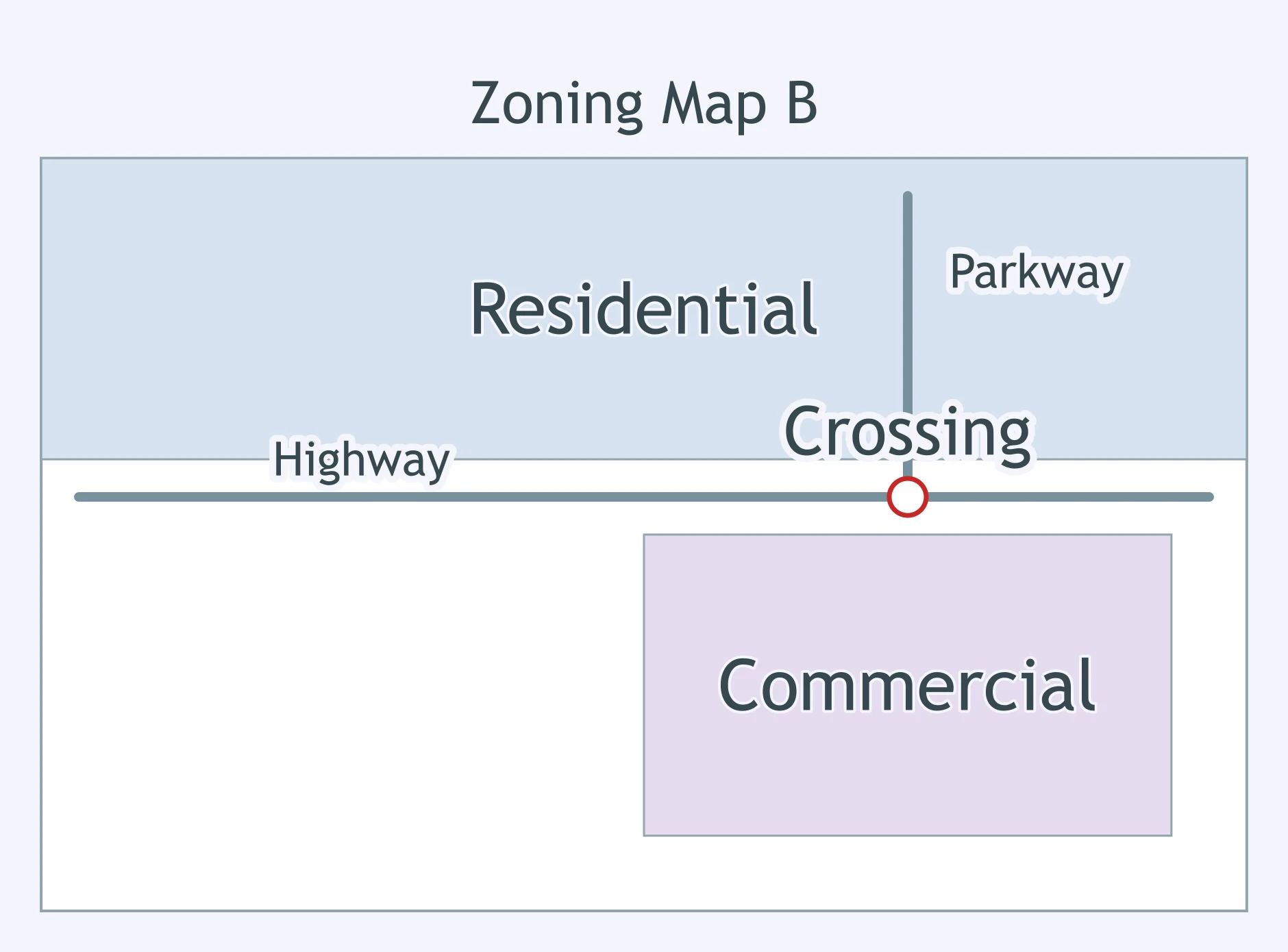
Use the zoning map. Where is the highest-density housing allowed?
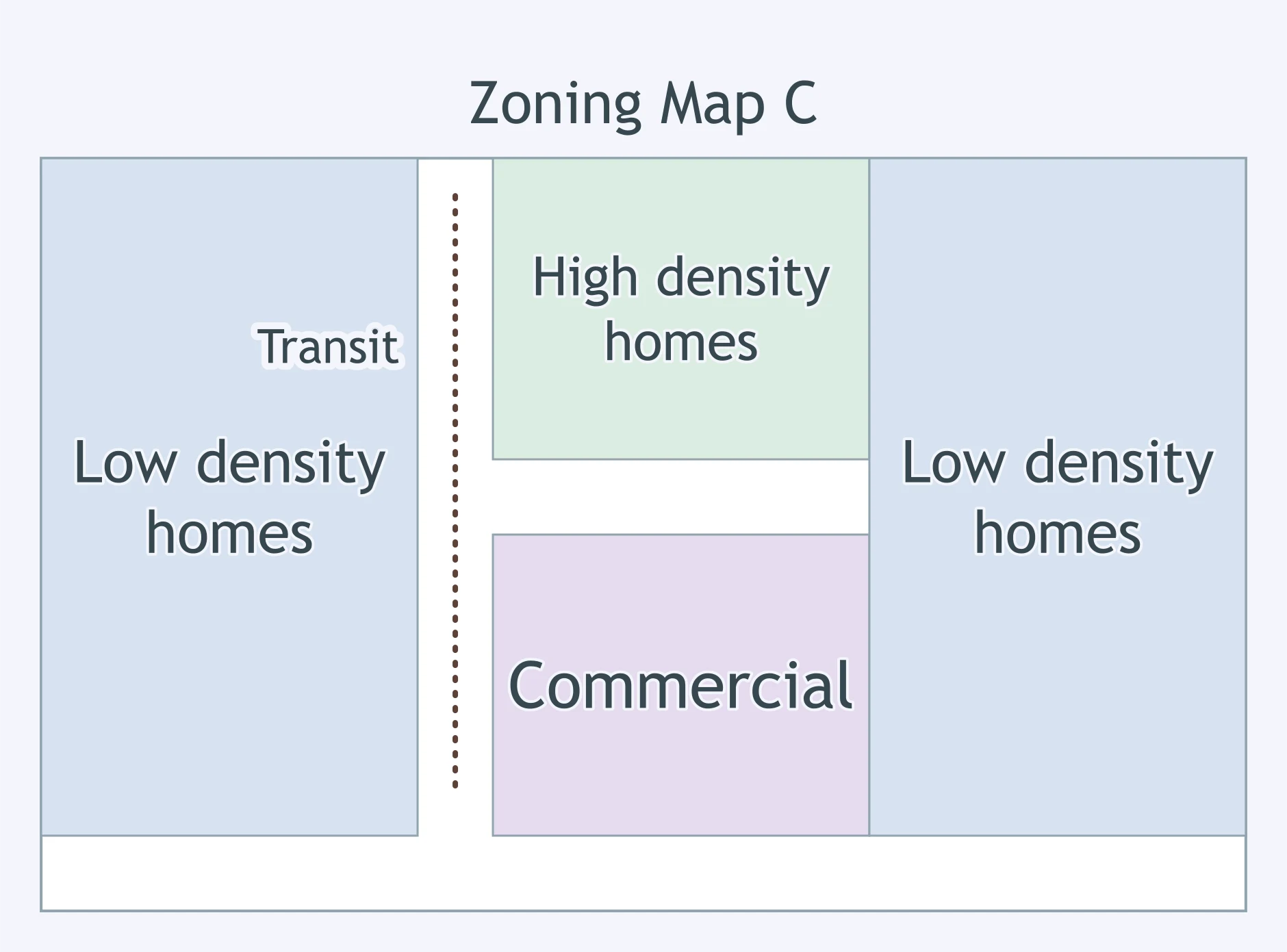
What pattern is shown by the zoning map?
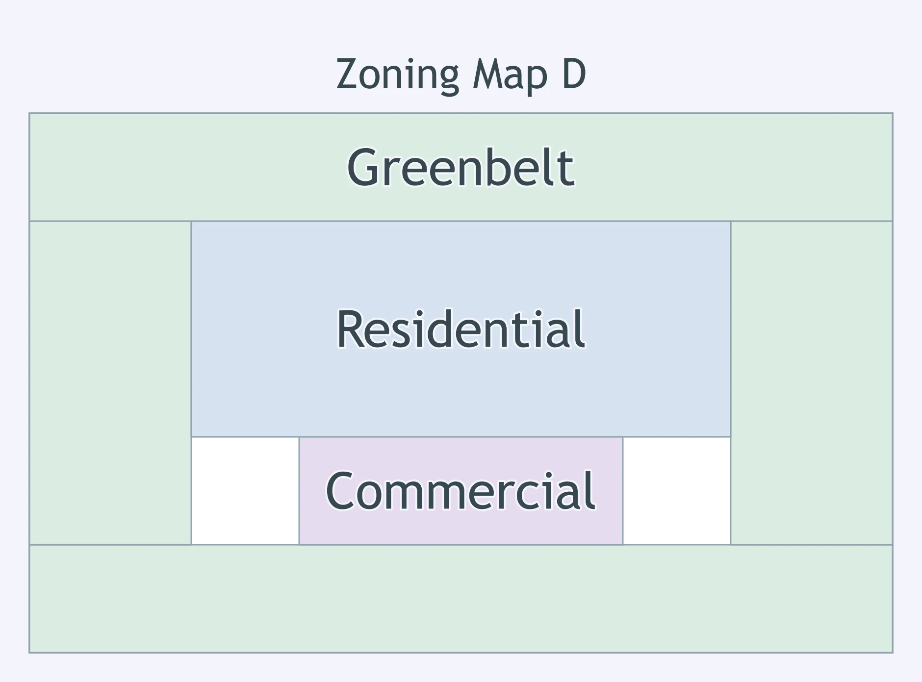
Use the zoning map. What land-use pattern is most clearly supported?
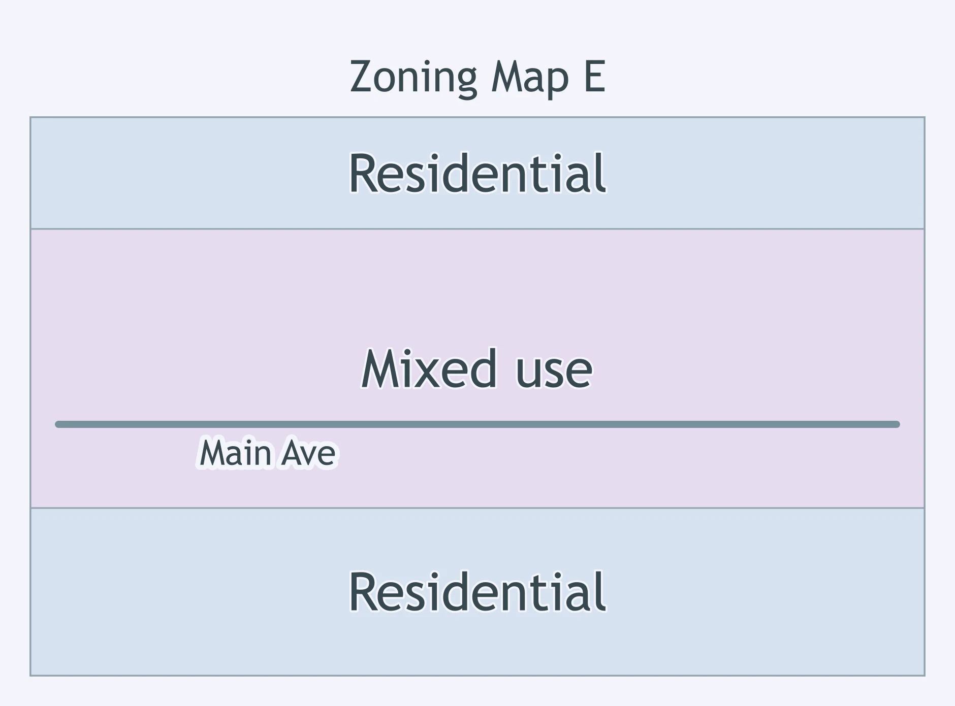
A planner points to the airport area on the zoning map. What pattern should the planner describe?
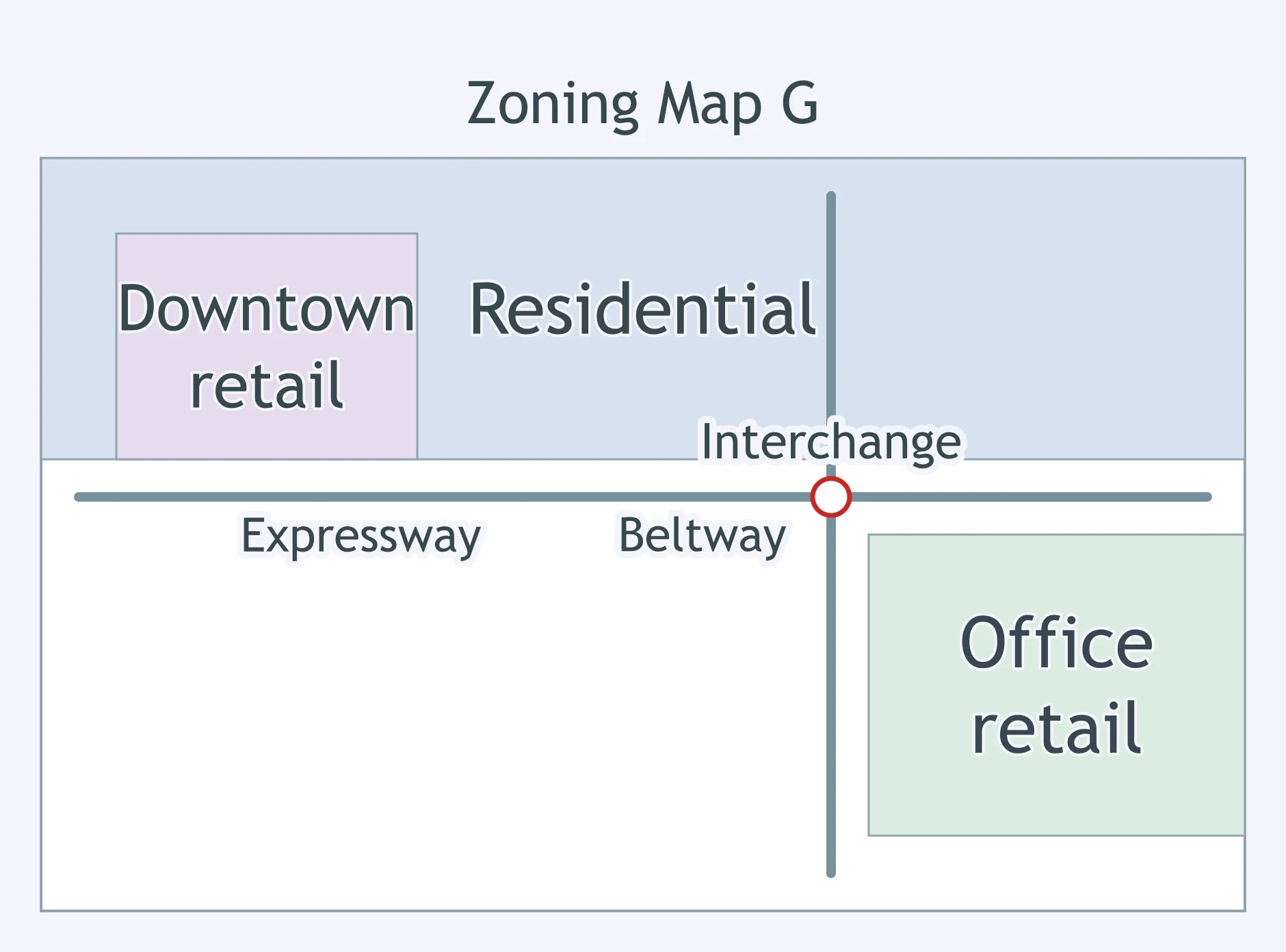
Use the zoning map. What pattern is most visible in the office and retail zoning?
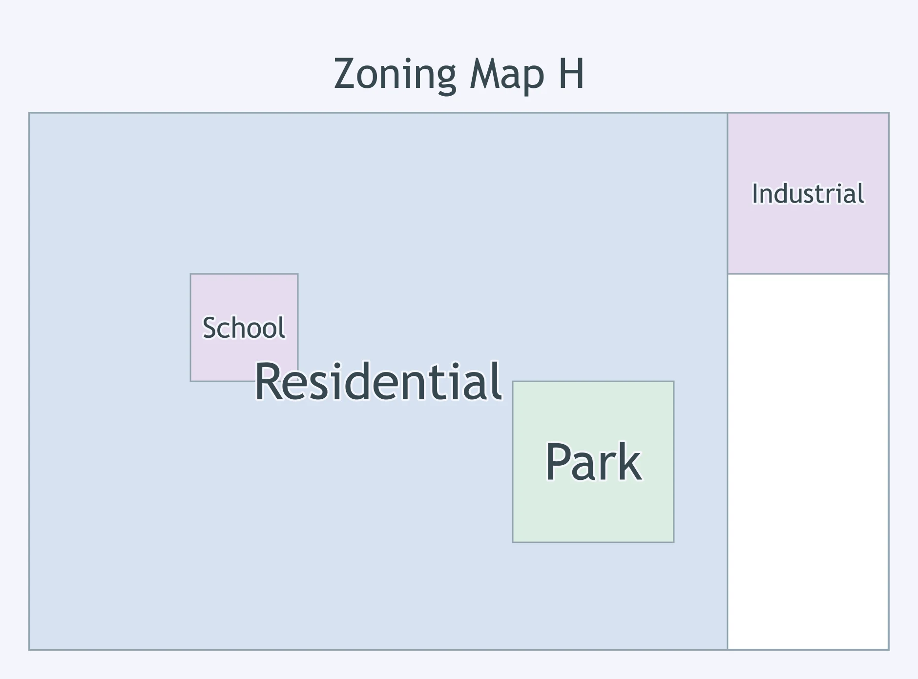
Use the zoning map. How are public-use zones arranged?
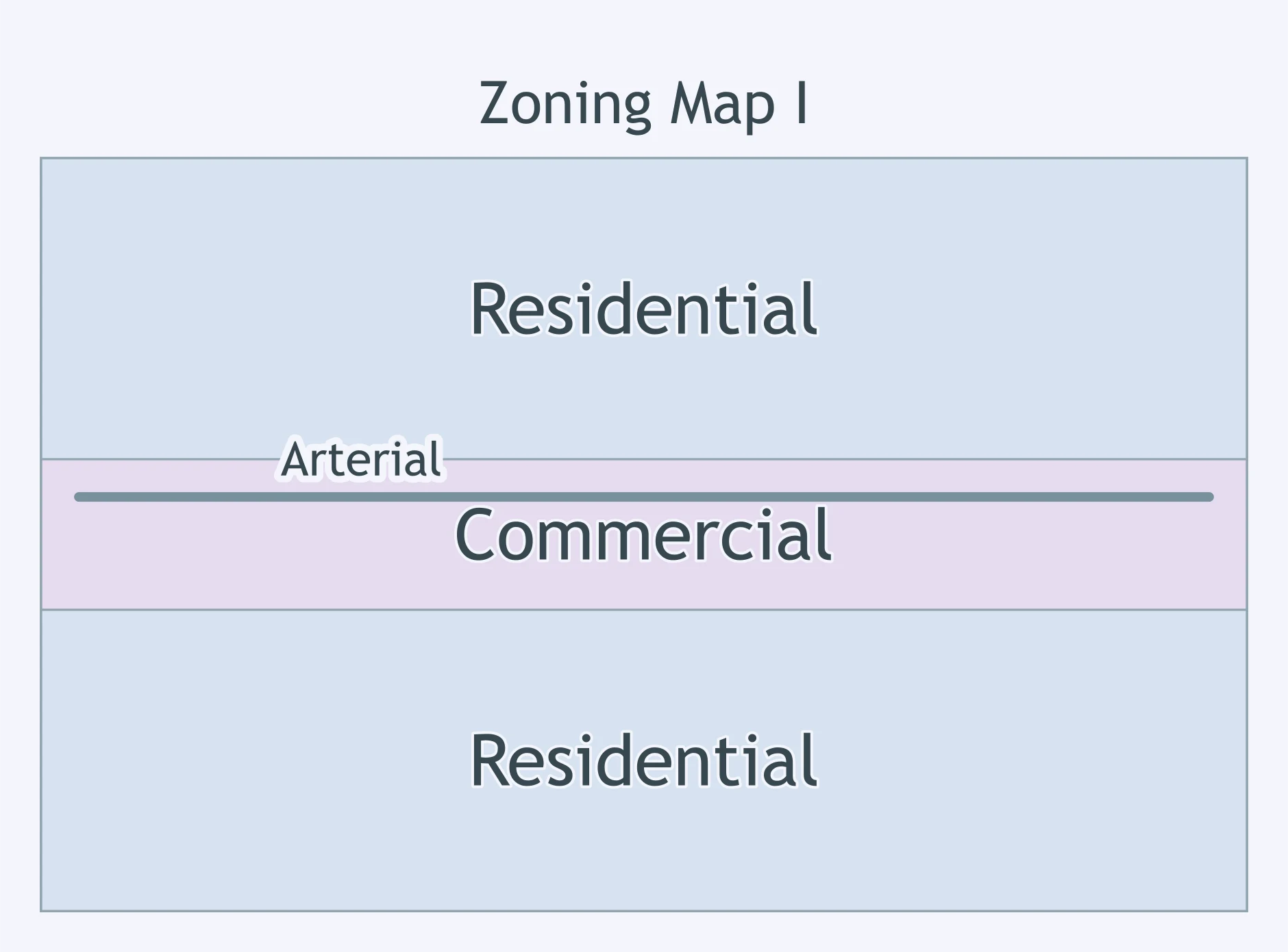
What does the zoning map show about commercial land?
Use the zoning map. What statement about waterfront land use is supported?
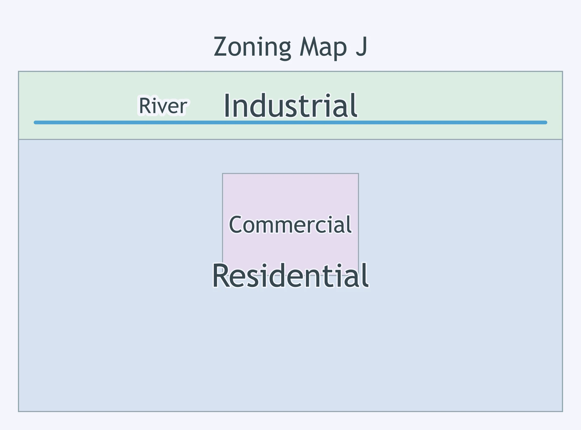
A city zones most residential land for one house per acre and bars buildings above two stories. What effect is most likely over time?
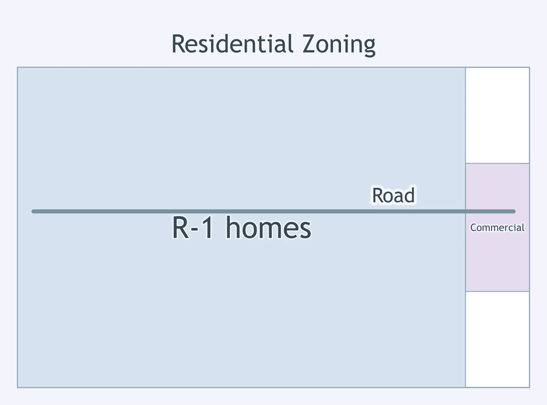
A district near transit had been attracting 60 units per acre, but a new rule caps it at 20 units per acre. What result is most likely inside the district?
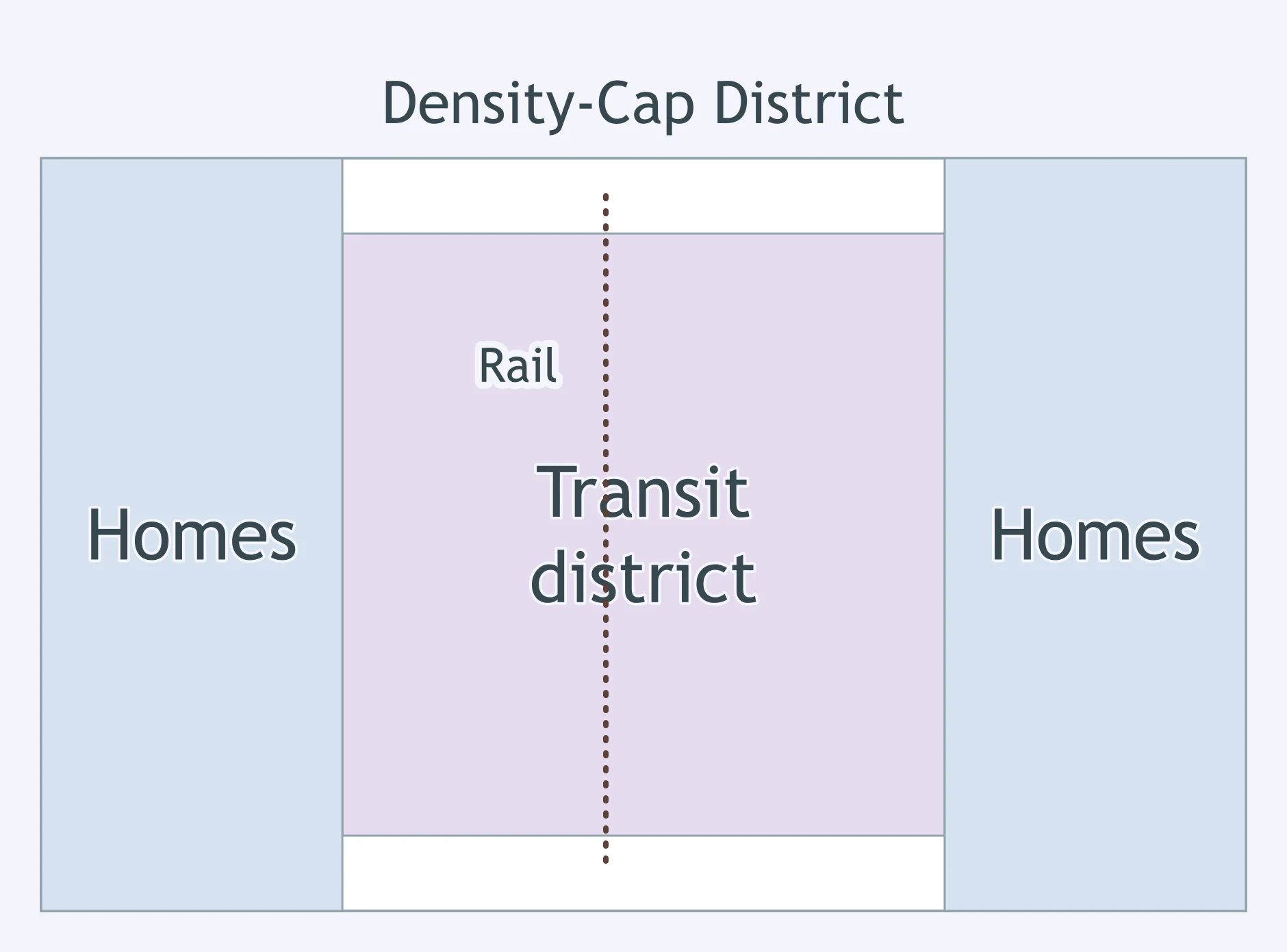
A city cuts the maximum building height from eight stories to three stories in a central residential zone. What is the likely effect?
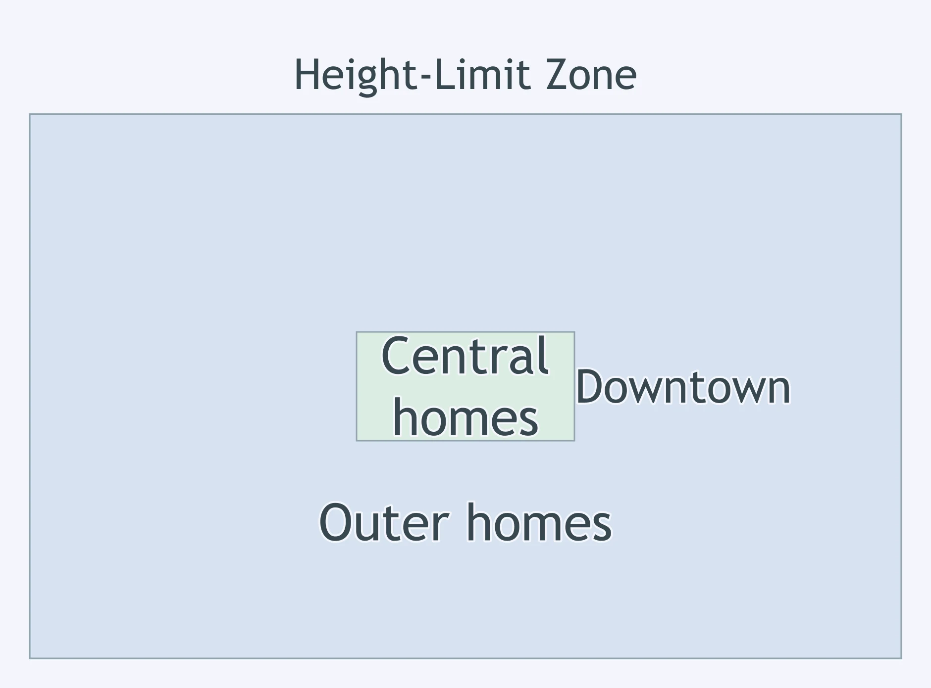
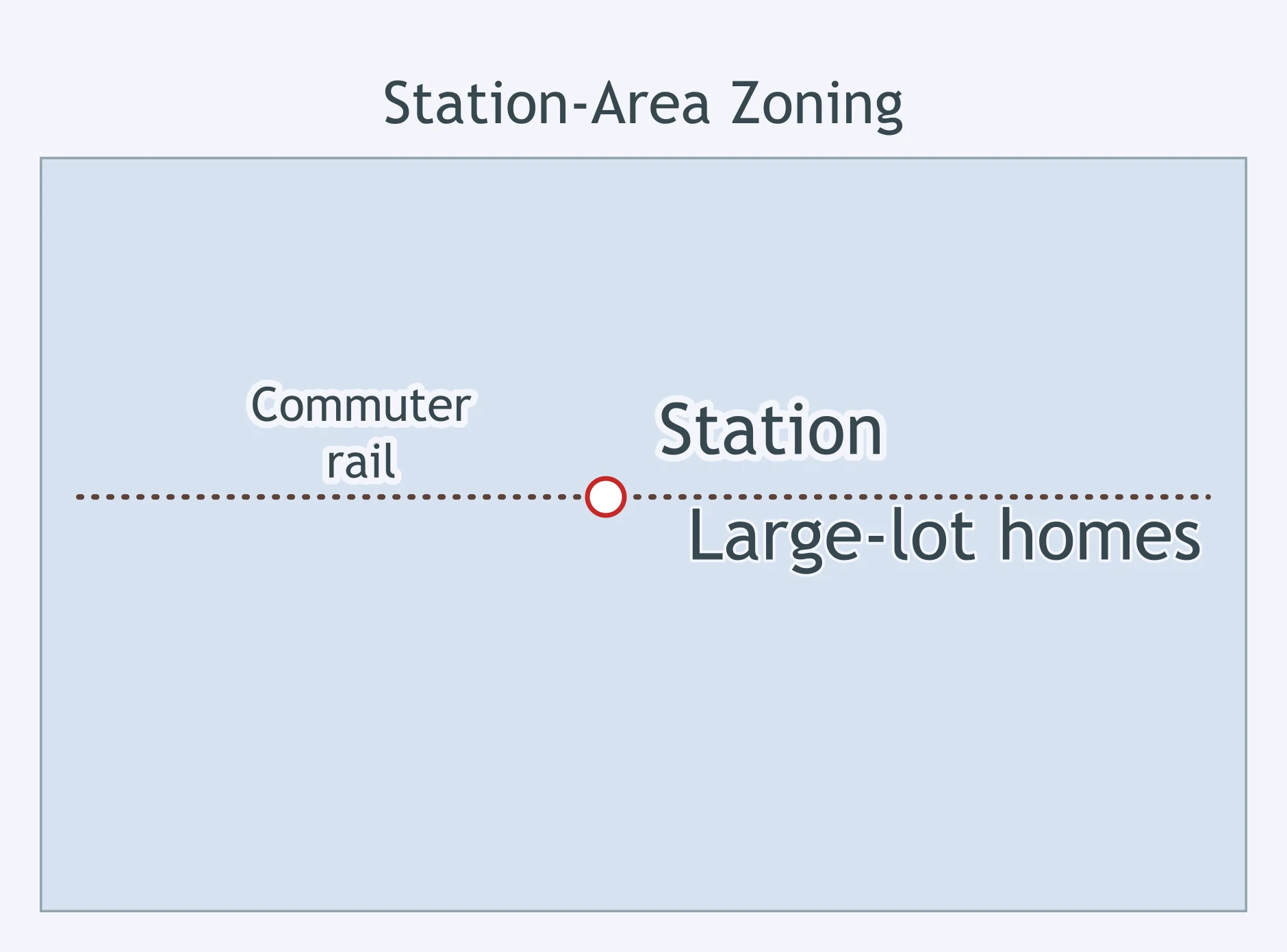
A zoning map keeps large-lot residential rules along a new commuter rail stop. What housing effect is most likely there?
A residential ordinance sets a floor area ratio of 0.5 on each parcel. What does that restriction do?
A city requires two off-street parking spaces for every apartment in a small-lot district. What effect can that rule have on housing density?
A city lowers the legal maximum from 40 dwellings per acre to 12 dwellings per acre in one district. How many homes may a developer now build on a 5-acre site?
A suburb keeps minimum lot sizes large while nearby job growth increases demand. What outcome is most likely?
An ordinance separates the city into districts where each district permits only one main activity, such as housing, shopping, or industry. What is this called?
A city requires large new apartment projects to reserve some units at below-market rents. What zoning tool is being used?
A district allows apartments above shops and offices on the same blocks. What zoning approach does this describe?
A base residential zone remains in place, but extra floodplain rules apply to parcels beside the river. What zoning instrument is this?
A code focuses on building frontage, height, and how buildings meet the street more than on separating uses. What is it called?
A homeowner gets permission to build slightly closer to a lot line because the parcel has an unusual shape. What did the city grant?
A city changes a parcel from low-density residential rules to rules allowing apartments and more units. What is this change called?
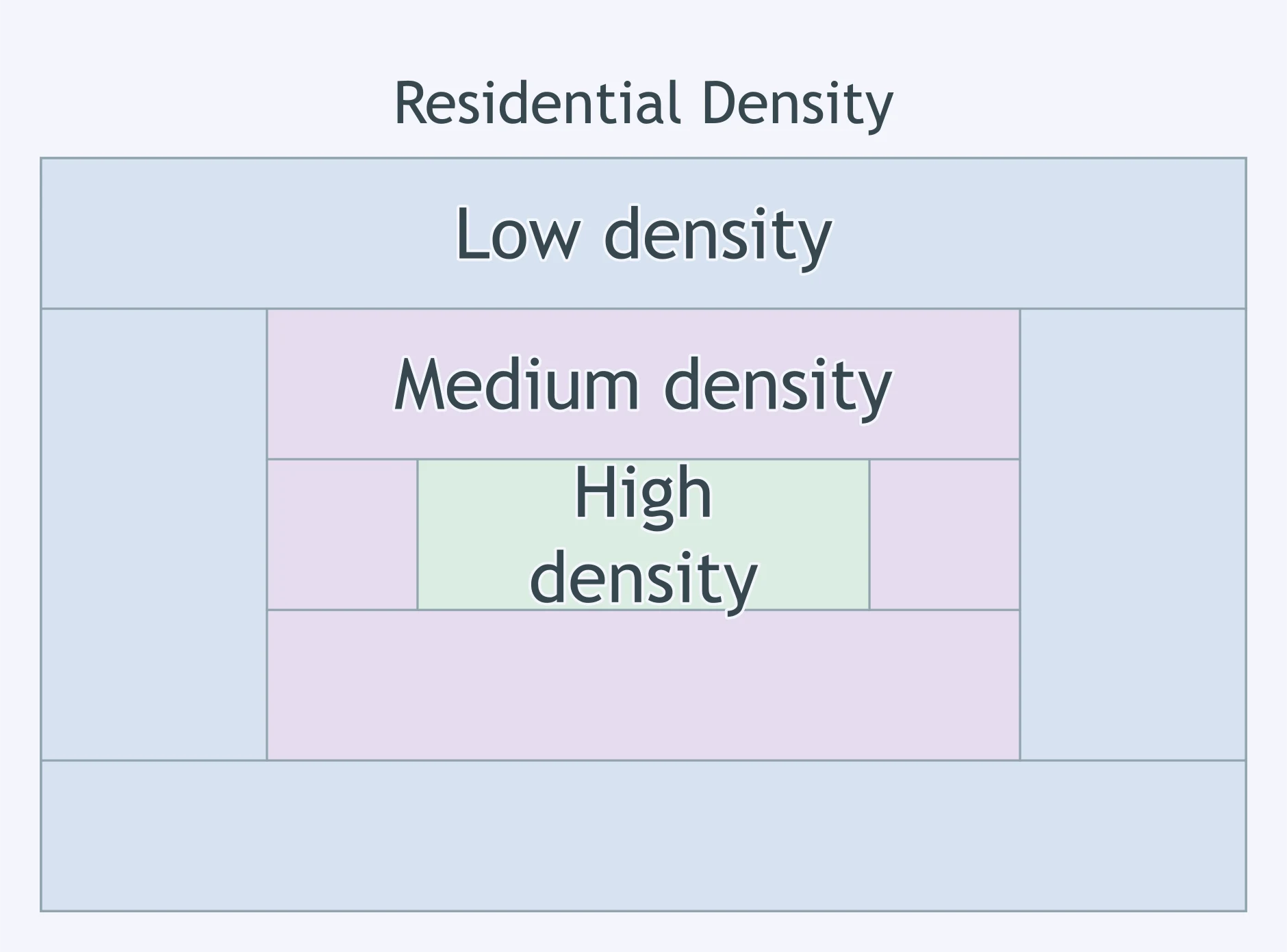
Use the residential density map. What land-value pattern is most likely?
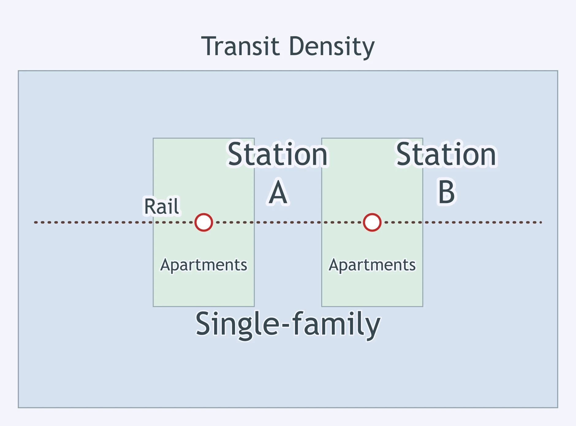
The map shows apartments near rail stations and single-family homes farther away. What does that suggest about land values near the stations?
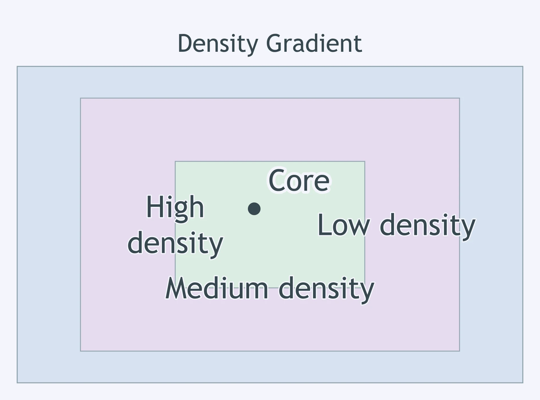
Use the density gradient map. If construction costs are similar, where would developers probably bid most for land?
A map labels Neighborhood A as high-density housing and Neighborhood B as low-density housing. What is the best land-value inference?
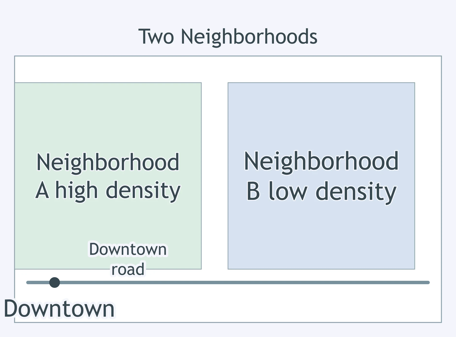
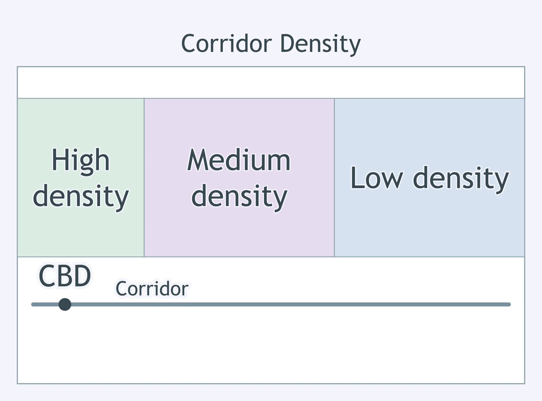
A corridor map shows housing density declining with distance from the central business district. What land-value pattern does that usually imply?
City Size and Spacing: Rank-Size, Primate City and Central Place Theory
45 questions

The Gravity Model and Urban Interaction
25 questions

North American Urban Models: Concentric Zone, Sector, Multiple Nuclei and Galactic
35 questions

World Urban Models: Latin American, African, Southeast Asian and European
35 questions
Urban Infrastructure and Transportation
Crack the passcode before the zombies get in.
Answer, then swat bugs for bonus points.
Race through questions at your own speed.
Same question on every screen. Fastest wins.

Pick a tile, answer, hit bonuses and steals.
25 questions