Loading
by BlastRoom
What borders do, where they are argued over, and how the sea is divided.
#us_hs_human_geography
35 questions
One question set, multiple game modes. Tap any game to see it in action. Not sure which to pick?
Answer to place stones and capture territory.
Outrun the snow together.
Earn blasts, then hunt the other team.
Answer to earn energy, then climb.

The class blasts through walls together.
Bid on mystery lots. Most money wins.
Sell tours. Nice, standard, or a total scam.

Answer, restock, and serve the rush.
More correct answers pulls the rope your way.
Answer, then shoot down the alien wave.
Answer, then tap to leap the frozen ridge.
Two states accept an old treaty, but one says “main channel” means the deepest channel while the other says it means the widest channel. What type of dispute is this?
A treaty is clear, but new satellite data shows border markers were placed south of the line the treaty described. What type of dispute is this?
Two neighbors agree on the border and treaty, but argue over how to stop cattle, smugglers, and travelers from crossing it illegally. What type of dispute is this?
An oil reservoir lies beneath an agreed border, and each state claims the other is drawing off crude from its side. What type of dispute is this?
After a river flood, one state says the border moved with the channel, while the other says it stayed in the old channel. What type of dispute is this?
A treaty says a border follows “the watershed,” but the governments disagree about what that phrase means in a flat marsh. What type of dispute is this?
Two states agree on the line but contest who may pump groundwater from an aquifer crossing beneath it. What type of dispute is this?
Officials on one side allow trucks through a border crossing, while the other side demands stricter inspections and closures. What type of dispute is this?
A colonial map was drawn at a rough scale, so surveyors from two states draw the border through different valleys. What type of dispute is this?
A fishing bank straddles a maritime boundary, and each government demands a larger share of the catch. What type of dispute is this?
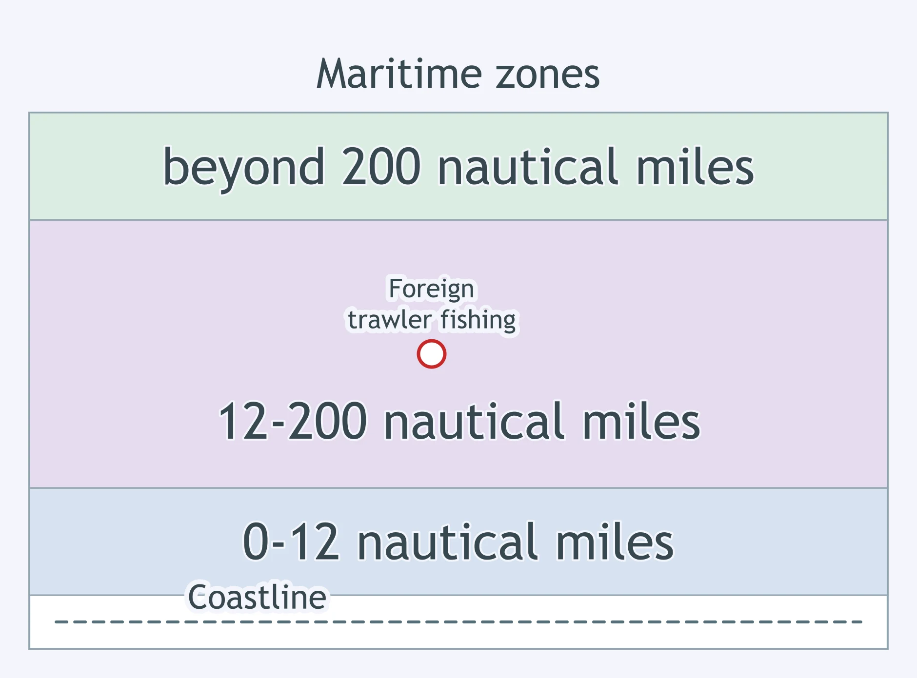
Use the map. A foreign trawler is at the marked point. Under UNCLOS, what may the coastal state do?
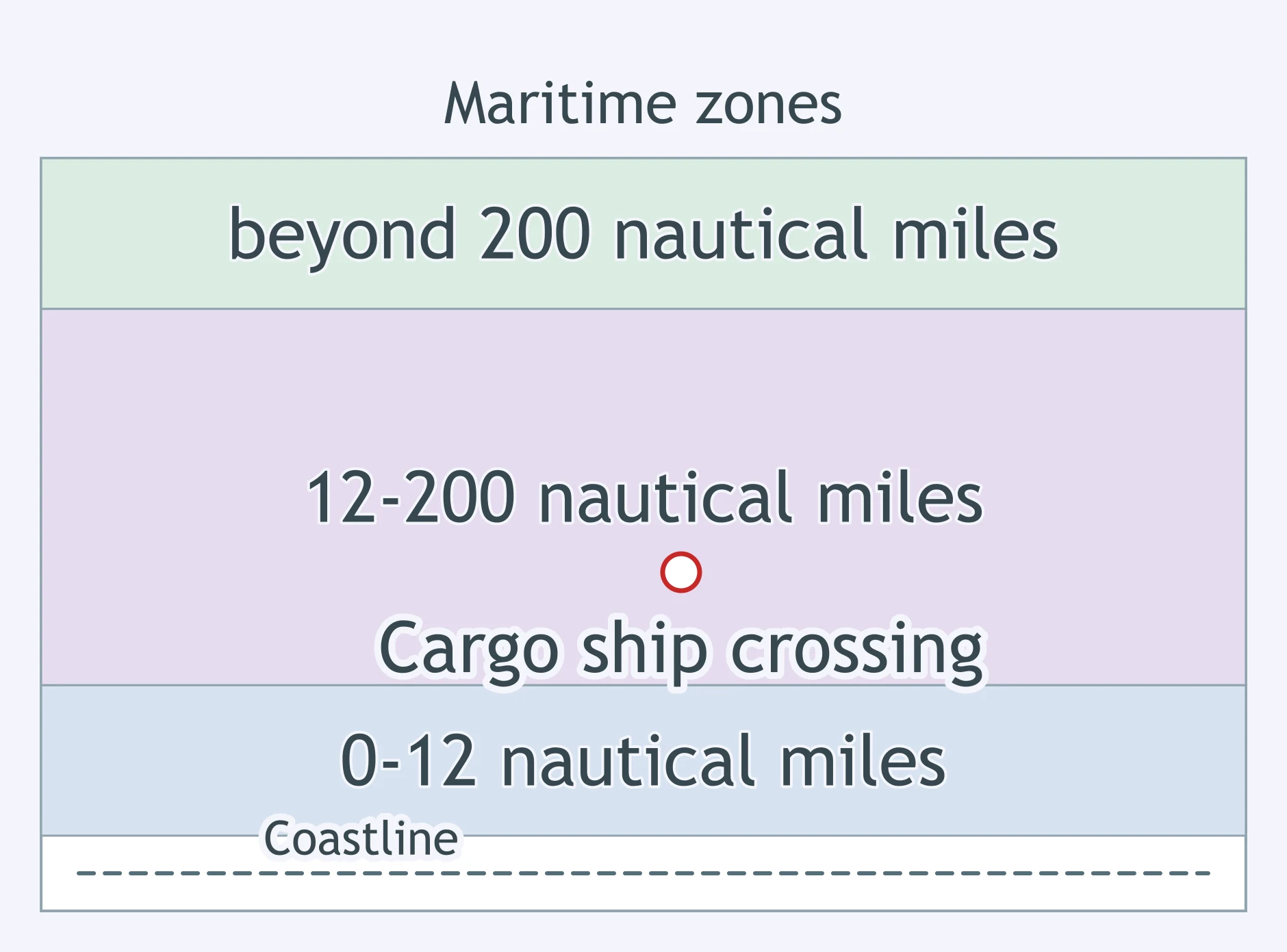
Use the map. A foreign cargo ship is simply crossing the marked area. Under UNCLOS, what is the coastal state’s best claim?
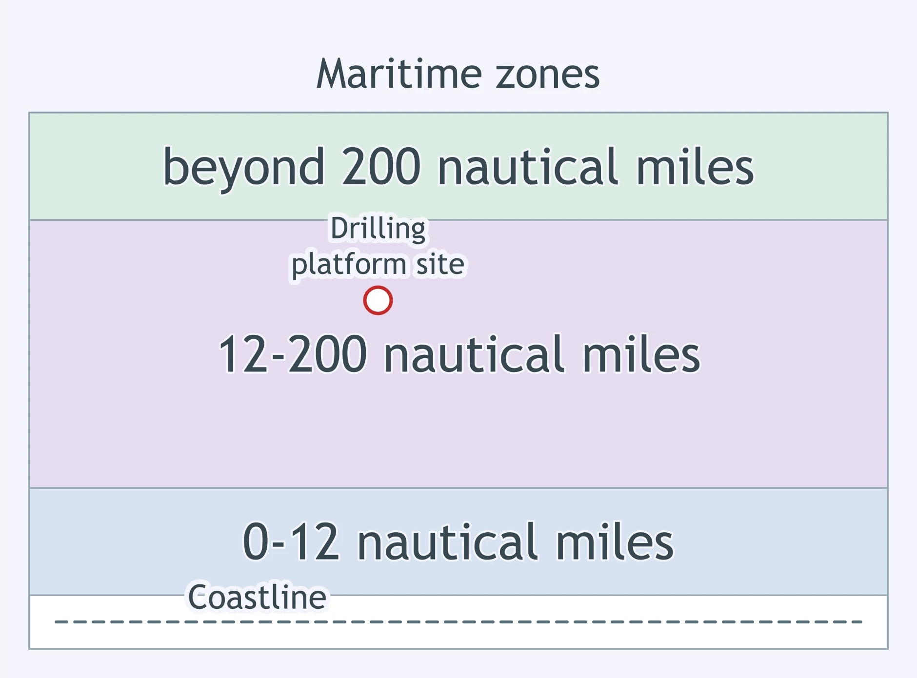
Use the map. A foreign company wants to install a drilling platform at the marked point. What may the coastal state do under UNCLOS?
Use the map. A foreign naval vessel is making peaceful passage at the marked point. What rule applies?
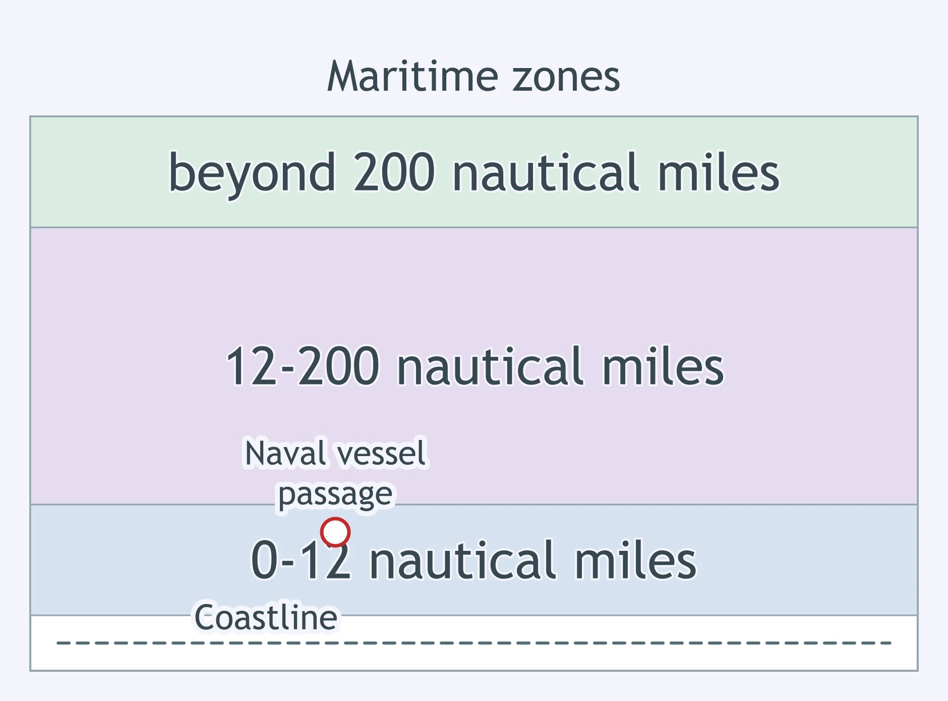
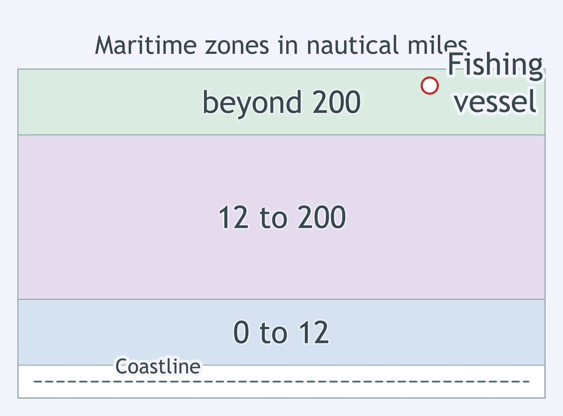
Use the map. A fishing vessel is at the marked point beyond the outer band. Under UNCLOS, what can the coastal state claim by EEZ rules alone?
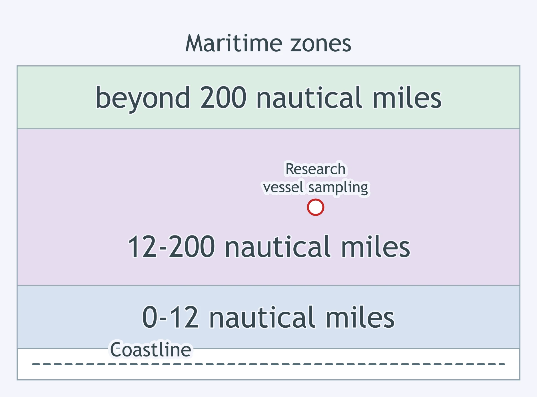
Use the map. A marine science vessel wants to collect samples at the marked point. Under UNCLOS, what may the coastal state require?
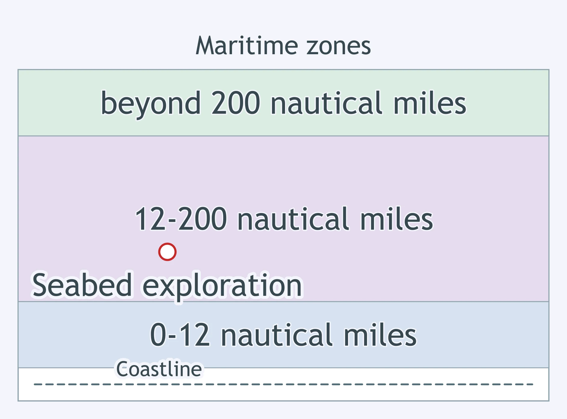
Use the map. A foreign firm plans to explore the seabed at the marked point. What is the coastal state’s strongest UNCLOS right?
Use the map. A factory ship is processing catch at the marked point. Under UNCLOS, what may the coastal state do?
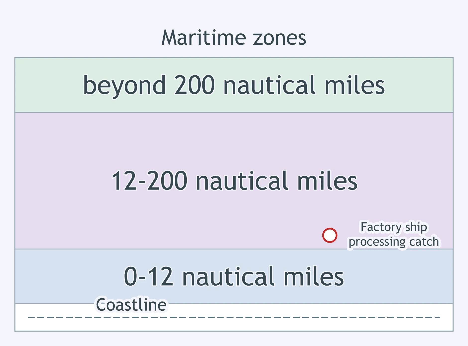
Use the map. A foreign aircraft flies above the marked point. What authority does the coastal state have there?
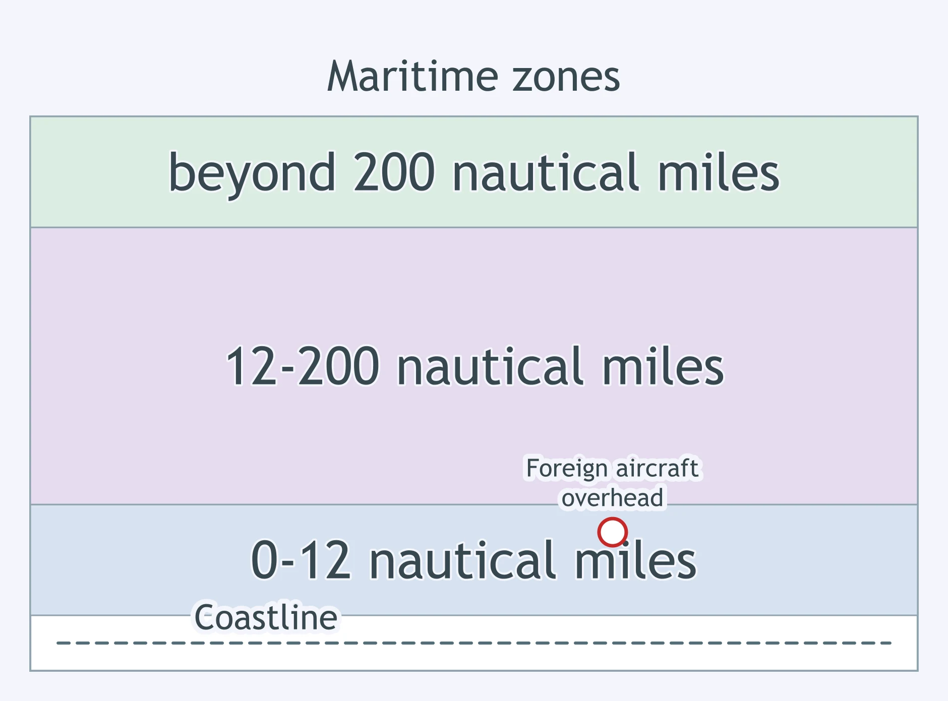
Use the map. A foreign aircraft flies above the marked point. What does UNCLOS allow the coastal state to claim there?
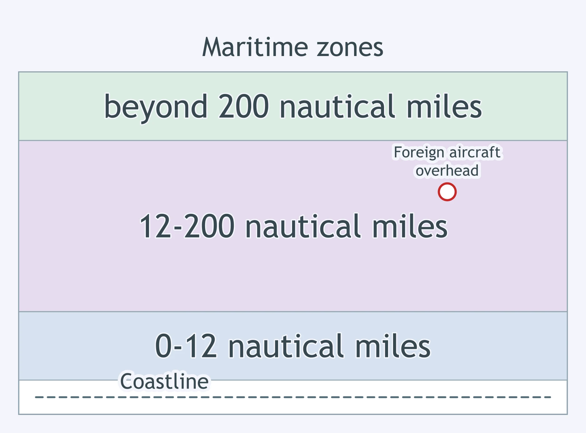
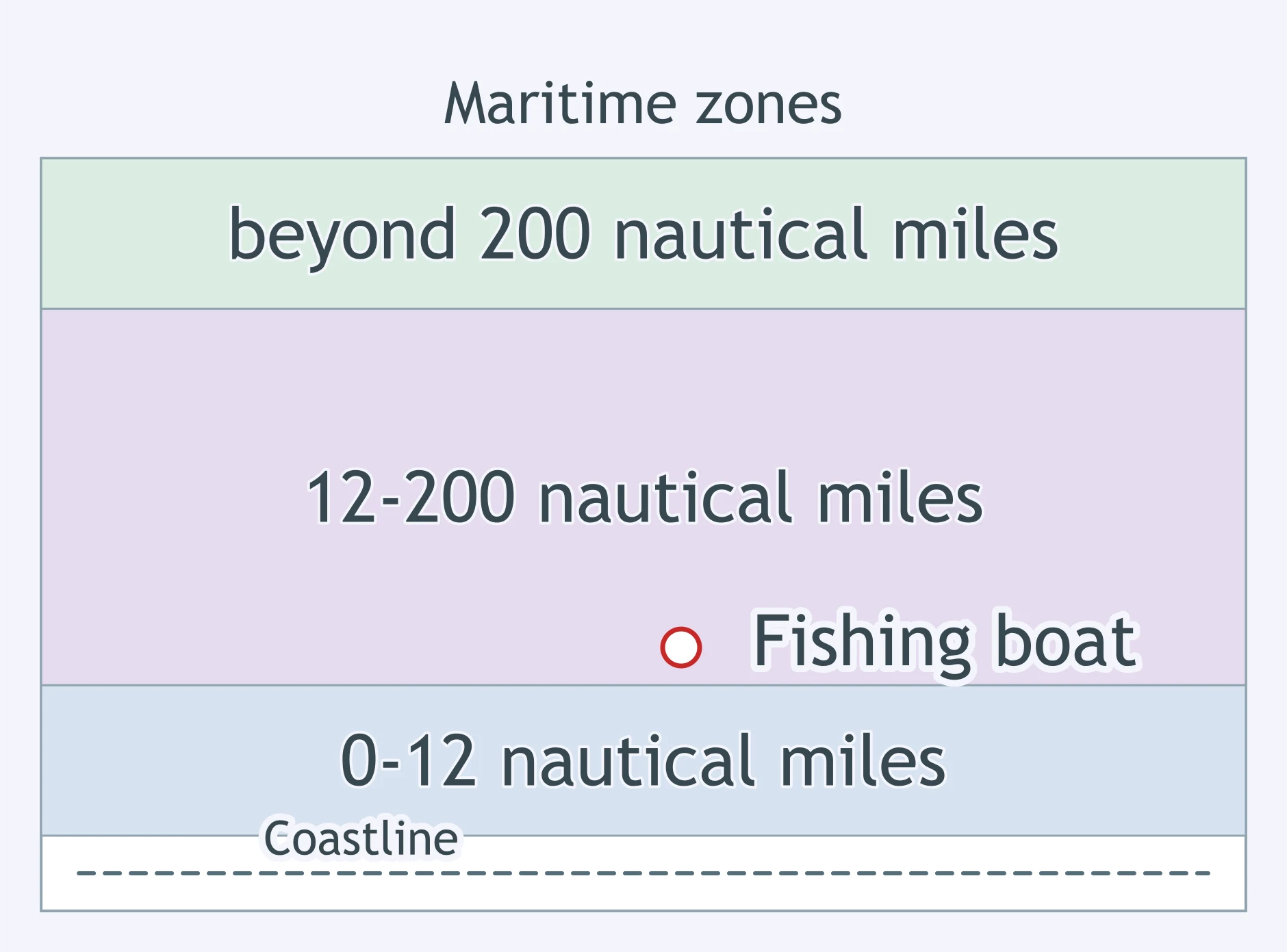
Use the map. A foreign fishing boat is working at the marked point nearest the coast. What may the coastal state do?
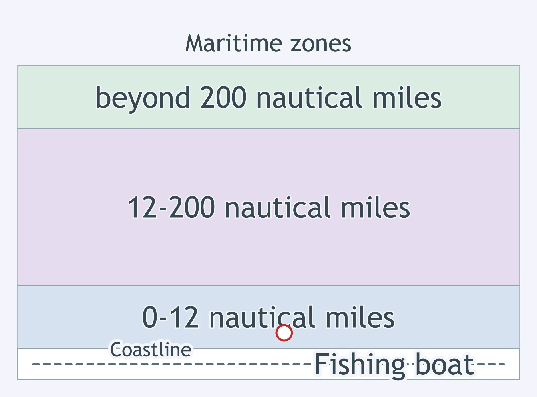
Use the map. A vessel is counting fish stocks at the marked point. Which UNCLOS power is most relevant?
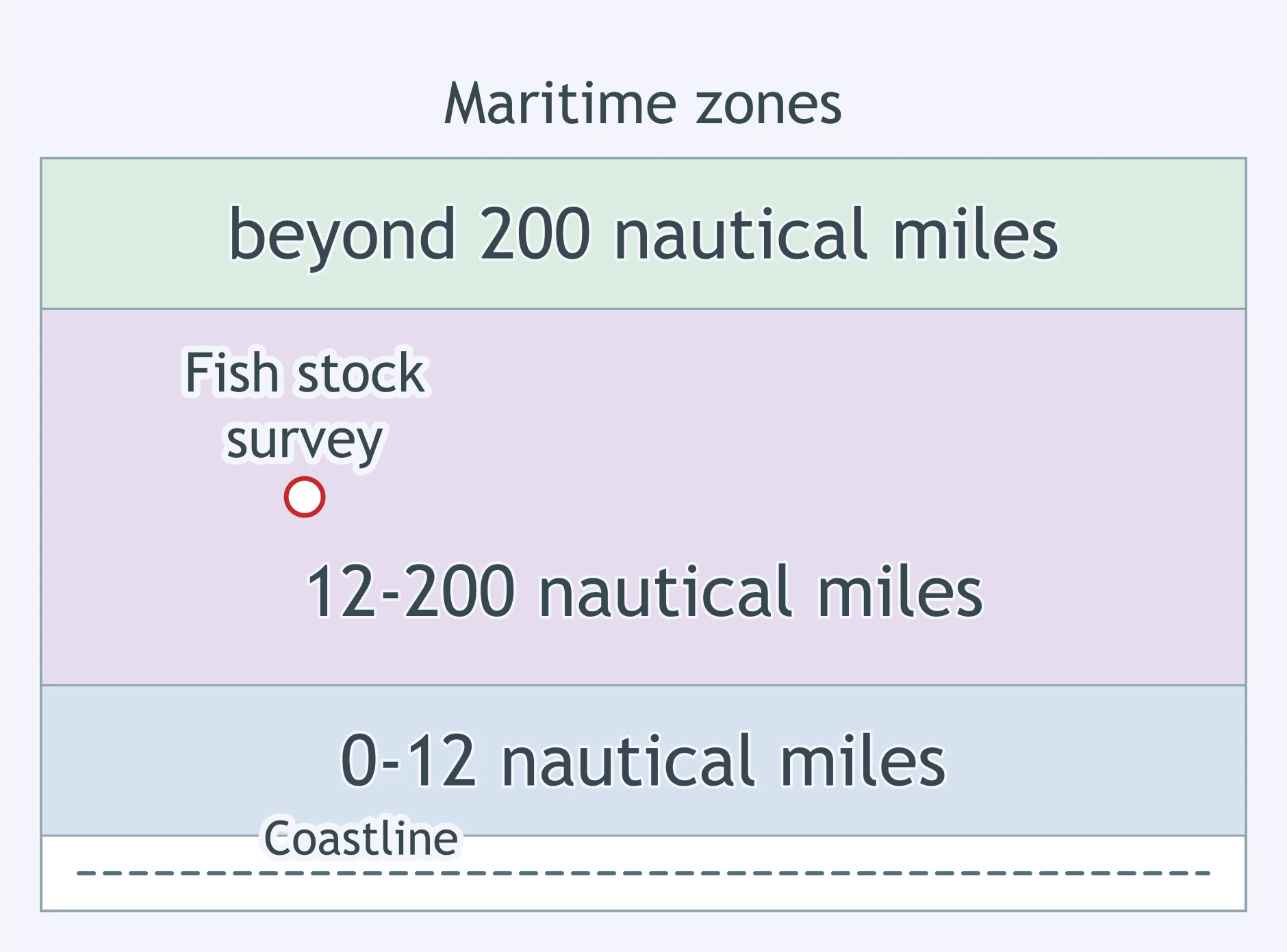
Use the map. A company proposes wind turbines at the marked point. What does UNCLOS give the coastal state?
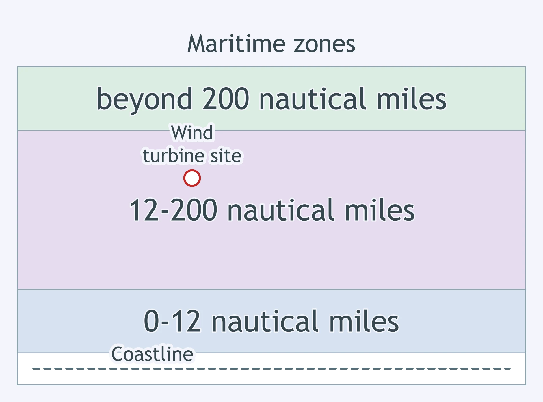
Use the map. A foreign fishing boat is just outside the inner band at the marked point. What may the coastal state do?
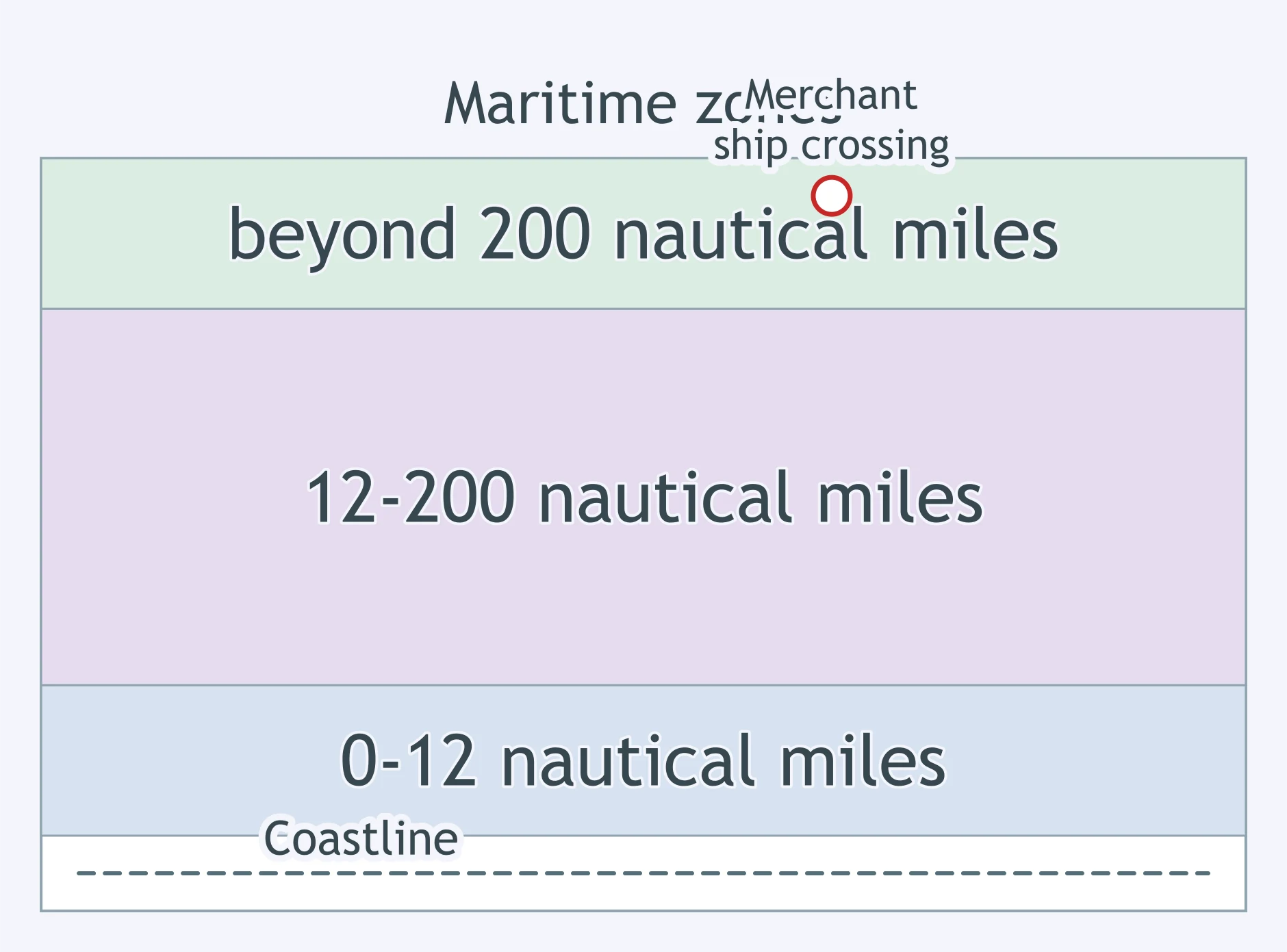
Use the map. A merchant ship is crossing at the marked point beyond the outer band. Which statement best applies?
Mongolia lies between Russia and China, so the two larger powers do not share a long direct frontier there. Mongolia functions as what?
A border is described in a treaty and drawn on official maps before surveyors place markers in the field. Which boundary-making step is this?
Surveyors place pillars, fences, and signs along a line already agreed to in a treaty. Which boundary-making step is this?
A government checks passports, collects duties, and applies its laws only on its side of a recognized line. What role is the boundary playing?
A neutral strip of territory separates rival armies and reduces direct contact along the front. This territory functions as what?
A mountainous region is pulled between stronger neighboring states through local allies and repeated wars. What is it?
An agreement among member states removes routine passport checks at their shared borders. What changed about those boundaries?
A straight border follows latitude across a desert rather than a river, mountain range, or cultural region. What kind of boundary is being used?
A former border no longer divides governments, but it still appears in roads, property lines, and settlement patterns. What concept fits?
Why can an internationally recognized boundary reduce conflict between neighboring states?
Colonialism and Imperialism
30 questions
Independence, Decolonization and Neocolonialism
30 questions
Geopolitical Theories: Heartland, Rimland and Organic Theory
20 questions
Types of Political Boundaries and How They Are Made
40 questions
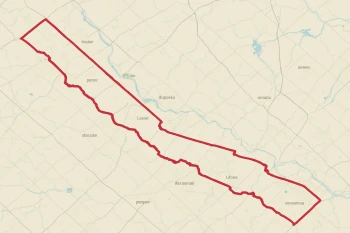
Internal Boundaries: Voting Districts, the Census and Redistricting
30 questions
Crack the passcode before the zombies get in.
Answer, then swat bugs for bonus points.
Race through questions at your own speed.
Same question on every screen. Fastest wins.

Pick a tile, answer, hit bonuses and steals.