Loading
by BlastRoom
Identify glacial landforms and evidence left by past ice.
#earth_space_science
40 questions
One question set, multiple game modes. Tap any game to see it in action. Not sure which to pick?
Answer to place stones and capture territory.
Outrun the snow together.
Earn blasts, then hunt the other team.
Answer to earn energy, then climb.

The class blasts through walls together.
Bid on mystery lots. Most money wins.
Sell tours. Nice, standard, or a total scam.

Answer, restock, and serve the rush.
More correct answers pulls the rope your way.
Answer, then shoot down the alien wave.
Answer, then tap to leap the frozen ridge.
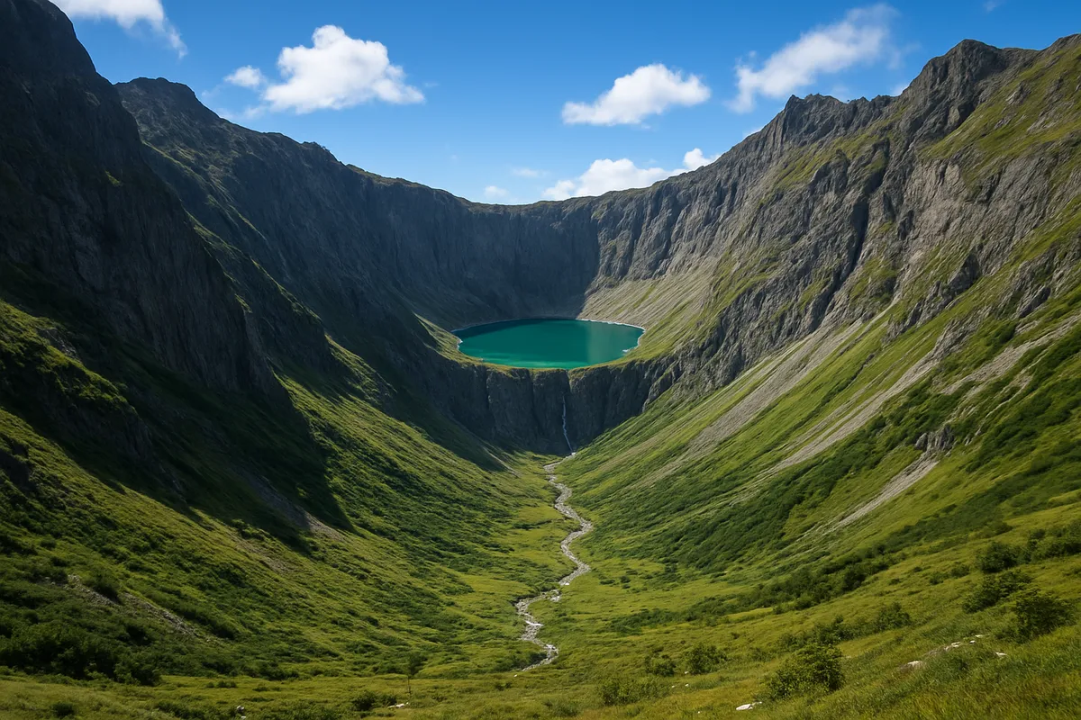
The image shows a steep-walled bowl cut into the head of a mountain valley, with cliffs on three sides and a small lake on the floor. What feature is this?
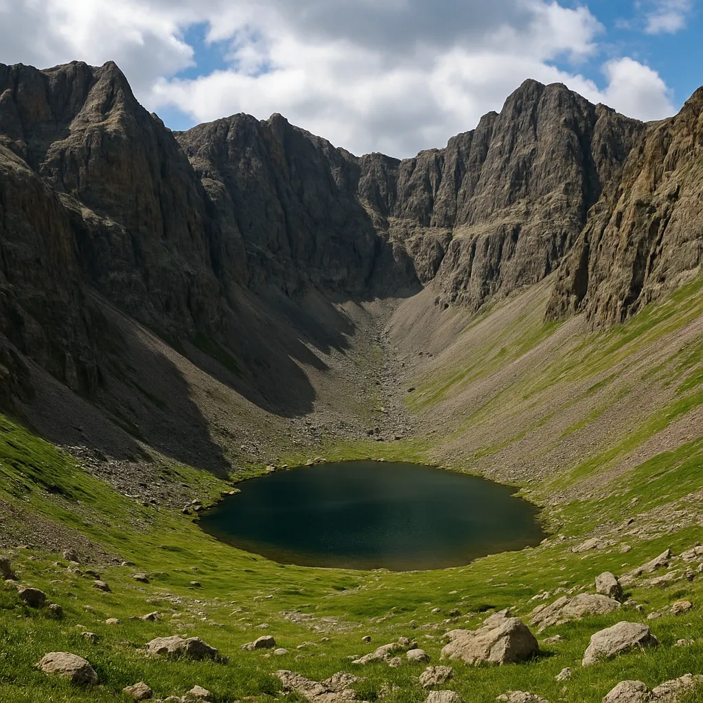
A narrow, jagged ridge separates two glacier-carved valleys in the image. What erosional landform is shown?
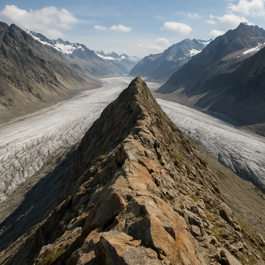
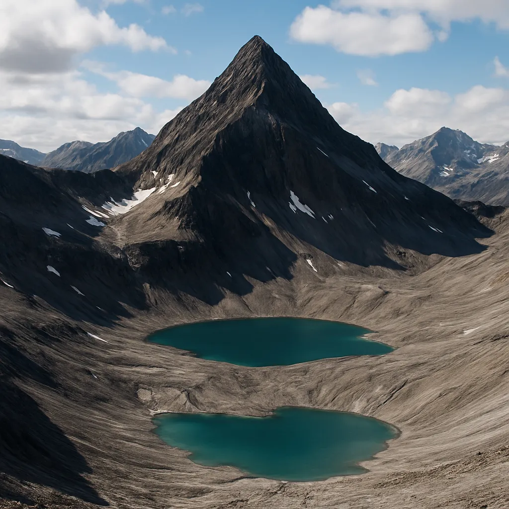
The image shows a pyramid-shaped mountain peak with steep faces carved on several sides by cirques. What is the peak called?
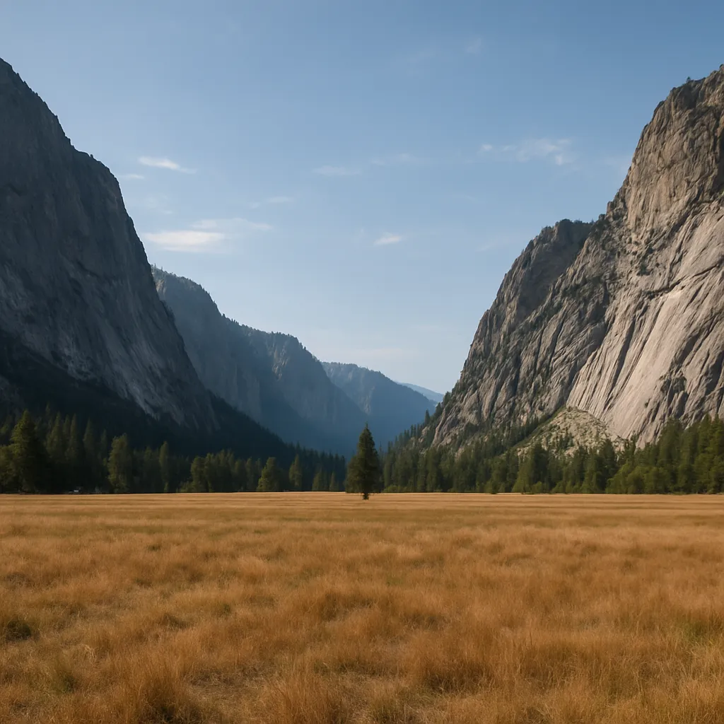
The photograph shows a wide mountain valley with a flat floor and steep straight walls after the ice has melted. What landform is it?
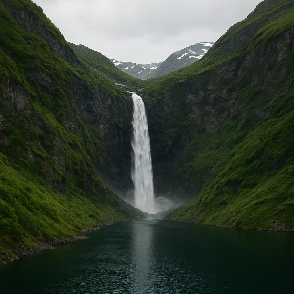
The image shows a waterfall dropping from a side valley that ends high above the floor of a larger glacier-carved valley. Why does the side valley's floor sit so much higher?
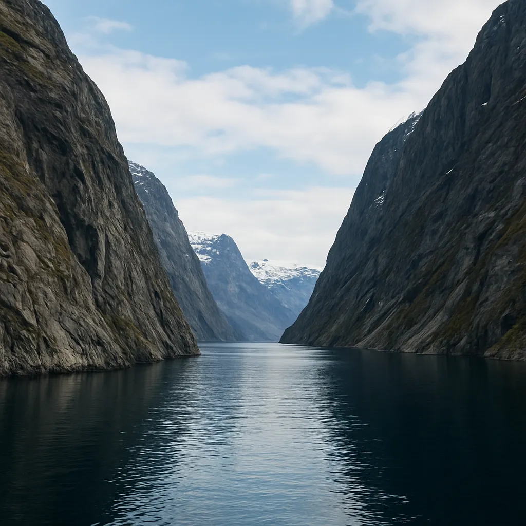
The image shows a long, narrow, steep-walled inlet filled with seawater where a glacier once cut below sea level. What landform is this?
A bedrock knob in the image has a smooth gentle upstream side and a steep plucked downstream side. What landform is it?
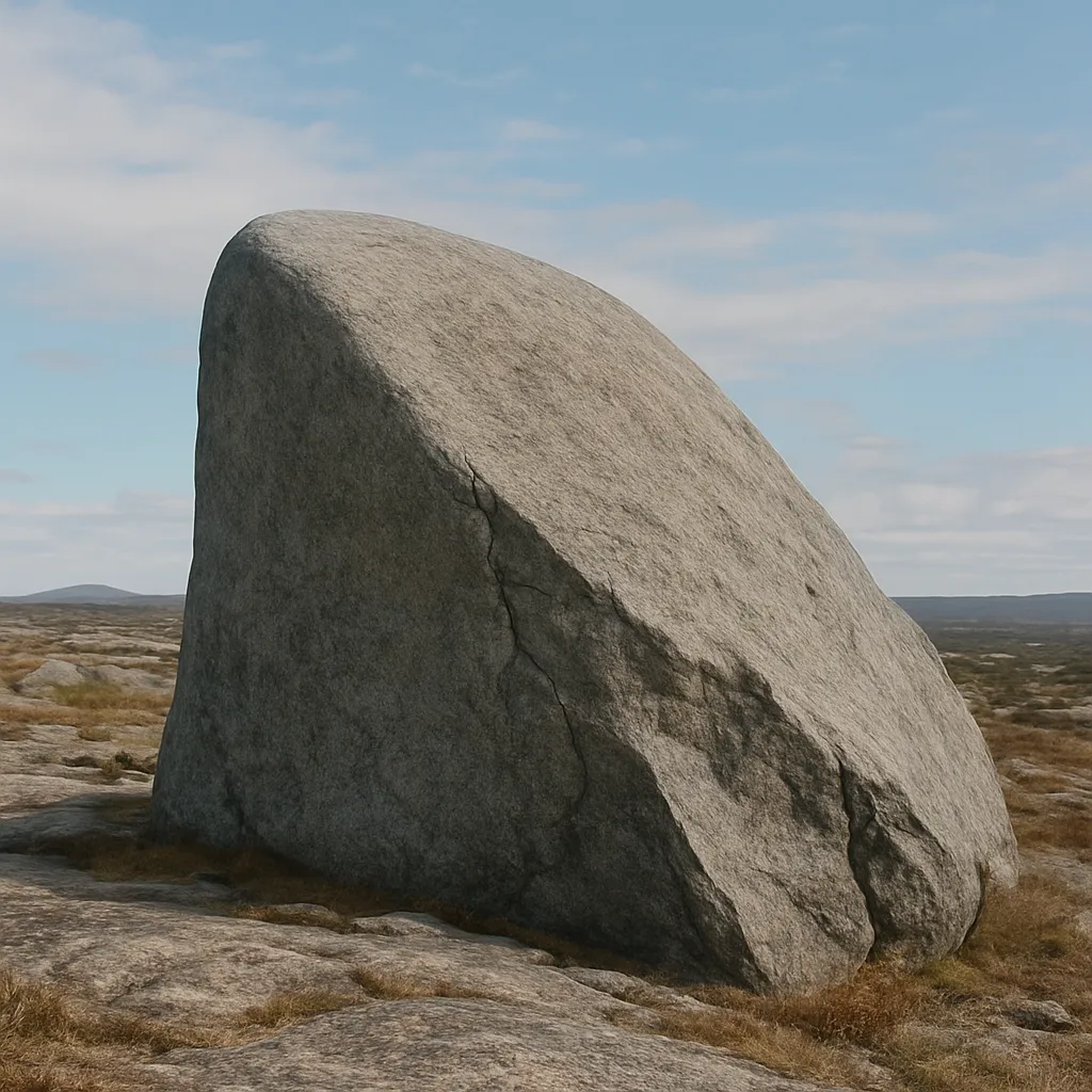
The image shows triangular rock faces cut off along a glacial trough where old interlocking ridges were sliced away. What feature is shown?
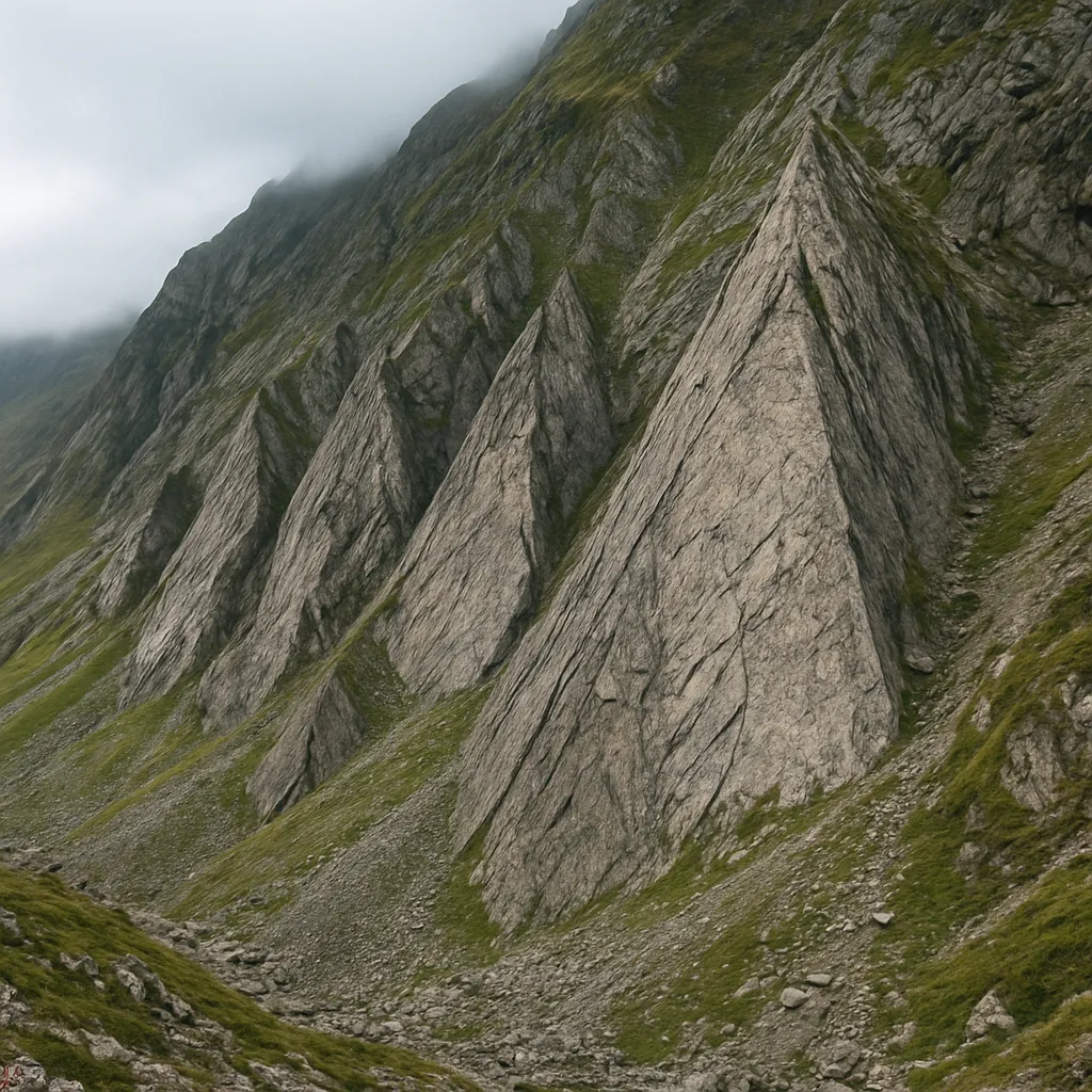
Two cirques have eroded toward each other until a low notch cuts through the ridge between them. What is the notch called?
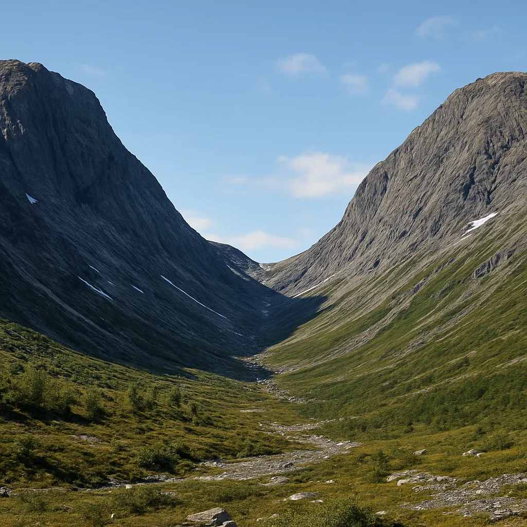
The image shows a chain of small lakes in rock basins stepping down a formerly glaciated valley. What feature is shown?
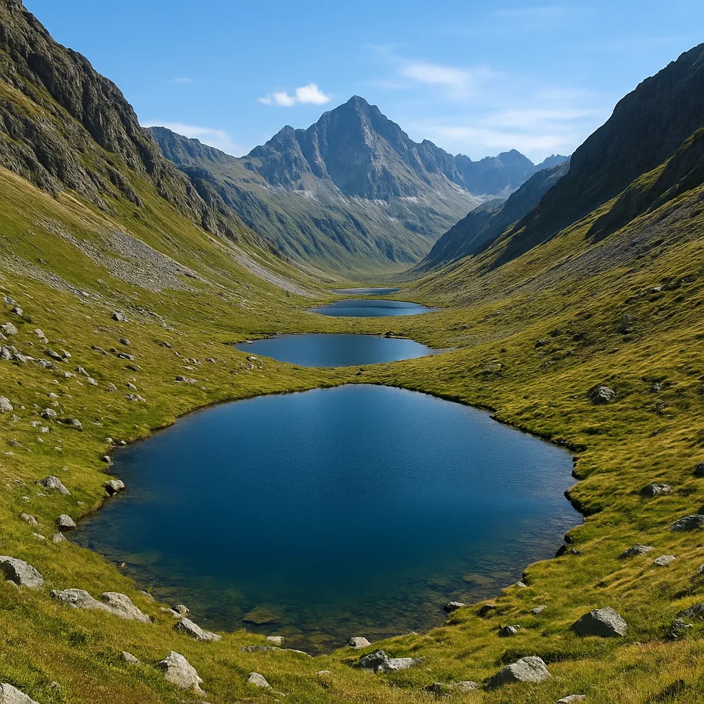
A curved ridge of unsorted till crosses the mouth of a valley at the farthest point reached by a glacier. What deposit is it?
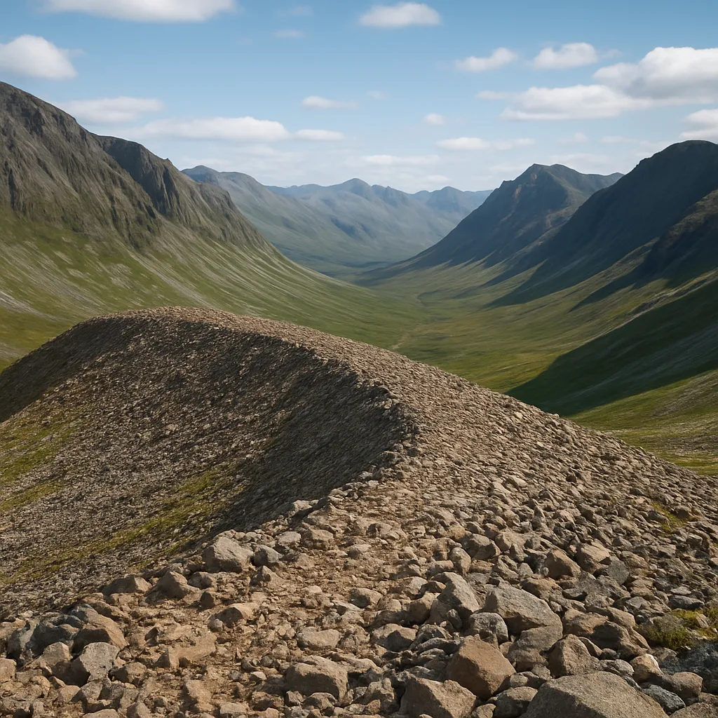
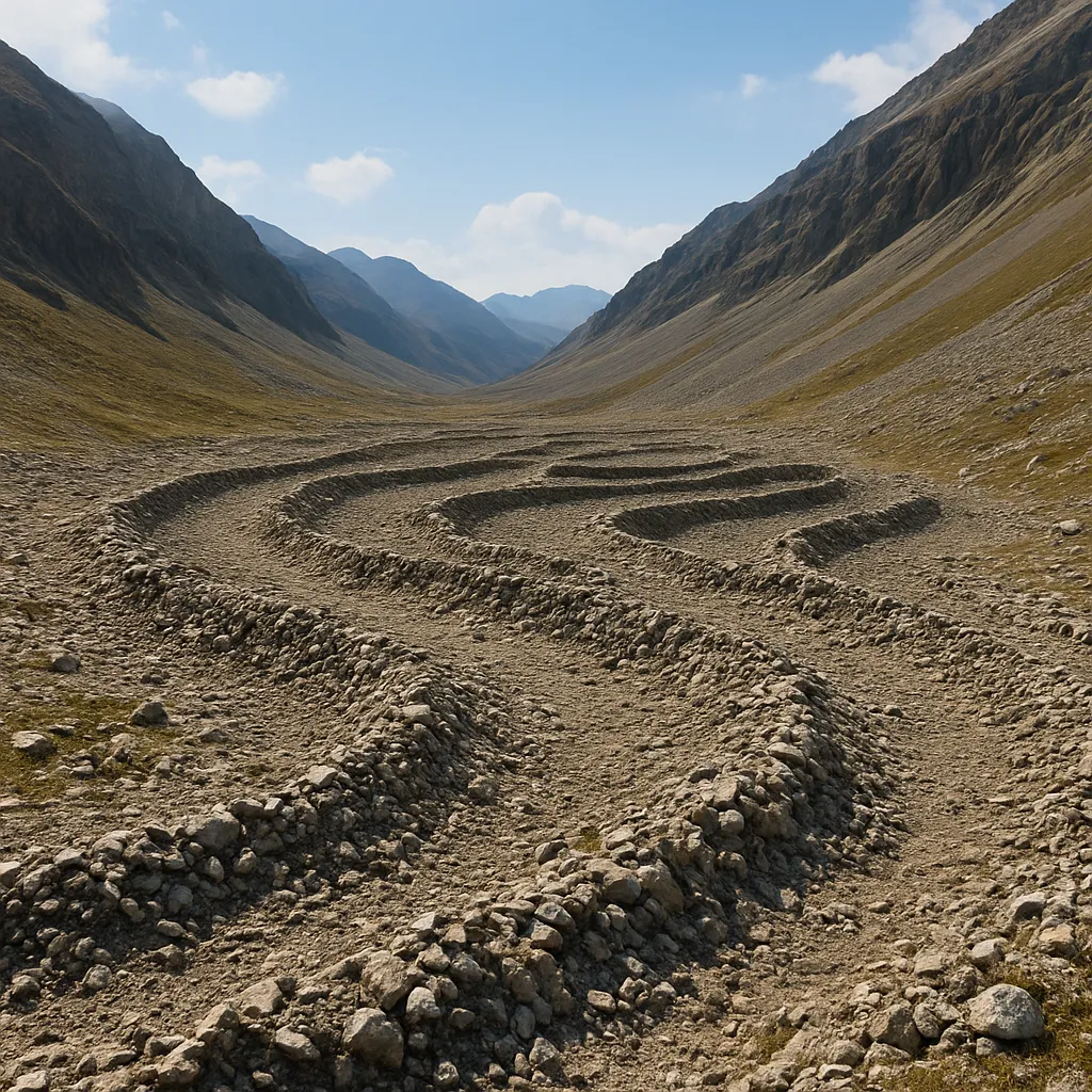
Several low ridges of till lie across a valley behind the outermost moraine, each marking a pause as ice retreated. What are they?
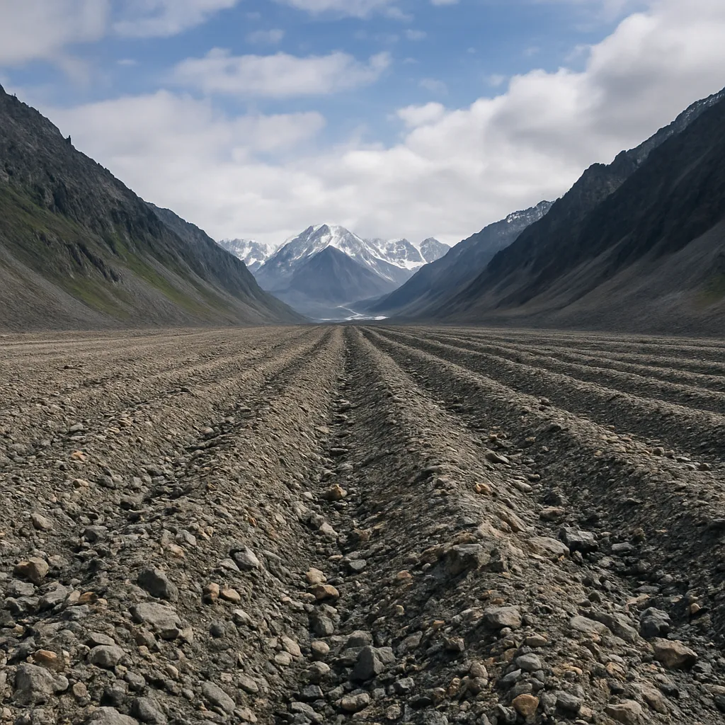
The image shows a long ridge of rocky debris running along one side of a former valley glacier. What feature is this?
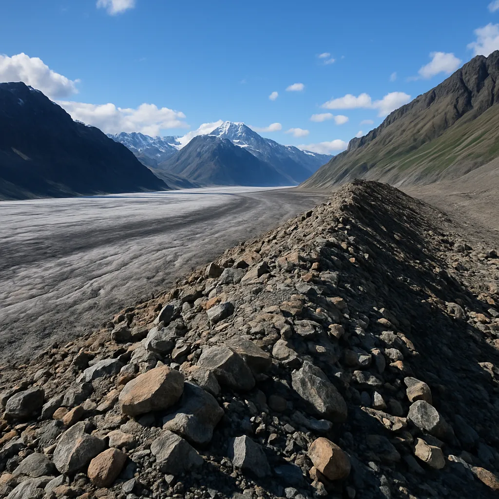
Two tributary glaciers once joined here, leaving a debris ridge along the center of the combined glacier path. What deposit formed?
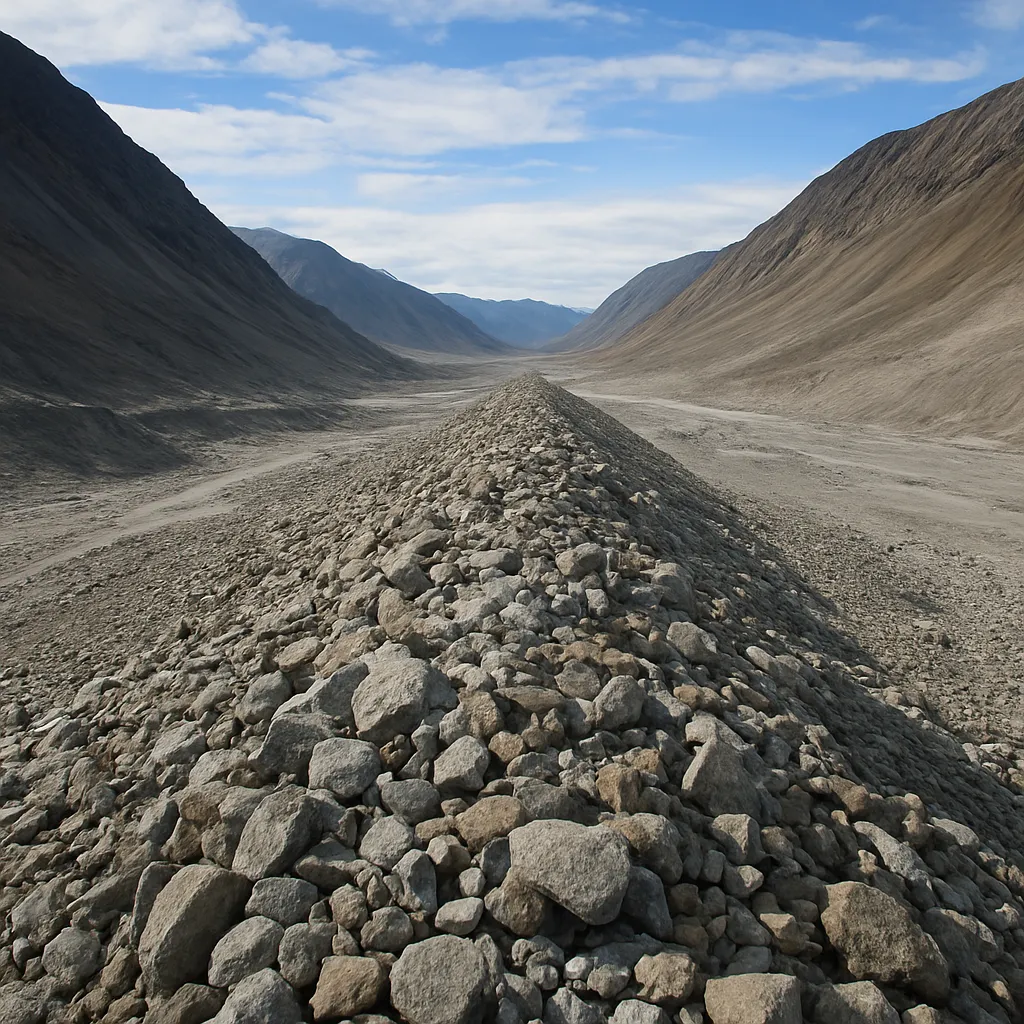
The image shows a thin, uneven blanket of unsorted clay, sand, pebbles, and boulders spread across bedrock. What deposit is it?
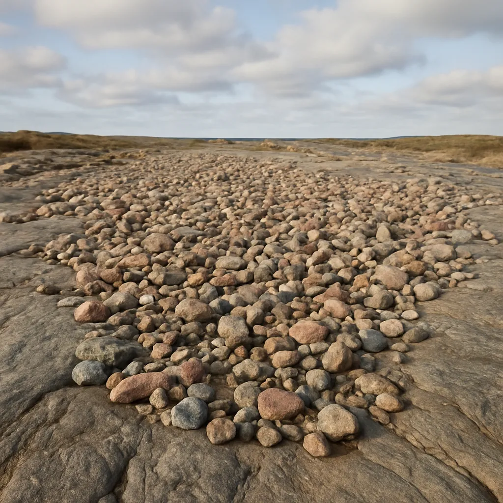
A smooth, elongated oval hill of till has a blunt end and a tapered tail aligned with former ice flow. What landform is it?
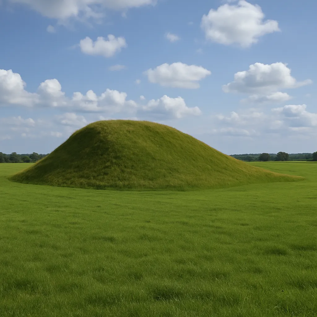
A long, narrow, winding ridge of sorted sand and gravel crosses a flat plain. What glacial landform is shown?
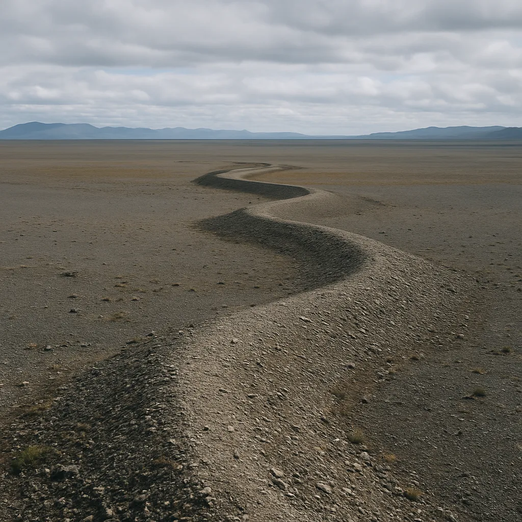
The image shows a round depression, now a pond, in an outwash plain where buried ice melted. What feature is it?
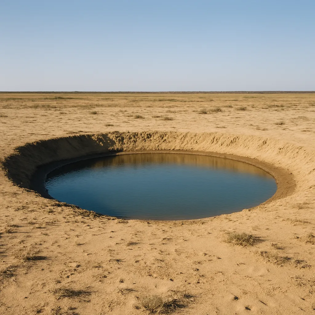
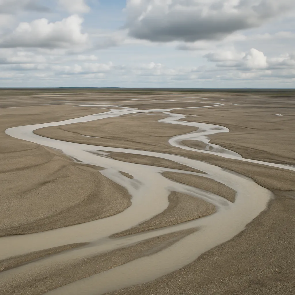
A broad, flat surface of layered sand and gravel extends beyond a former glacier margin and was built by braided meltwater streams. What is it?
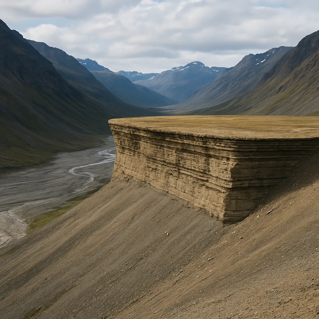
A flat-topped bench of layered sand and gravel sits along a valley wall where meltwater flowed between ice and rock. What landform is it?
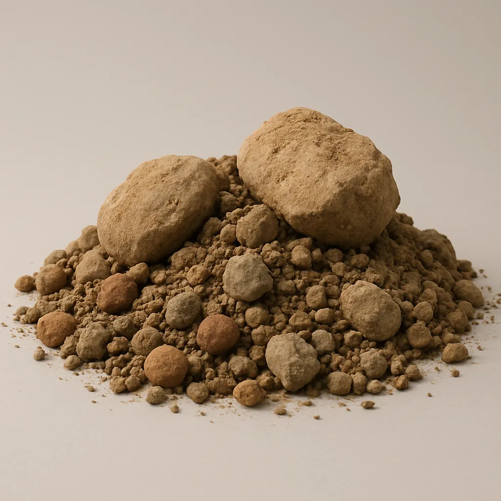
A sediment sample has clay, sand, pebbles, and boulders mixed together with no layers. Is the deposit glacial till or glacial outwash?
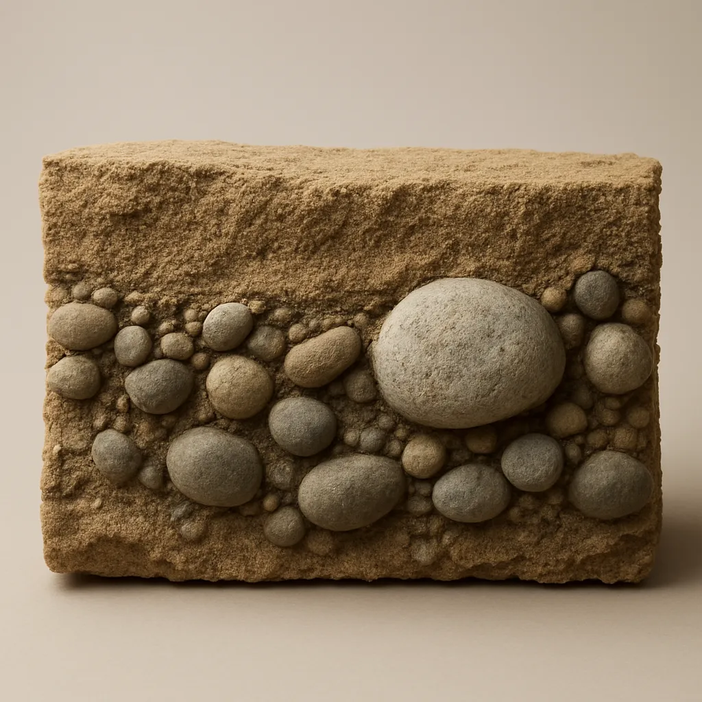
A bank beside a former meltwater channel shows horizontal layers of sorted sand and rounded gravel. Is the deposit glacial till or glacial outwash?
A compact gray deposit holds scattered boulders in a fine clay-rich matrix, with no bedding. Which glacial sediment is it?
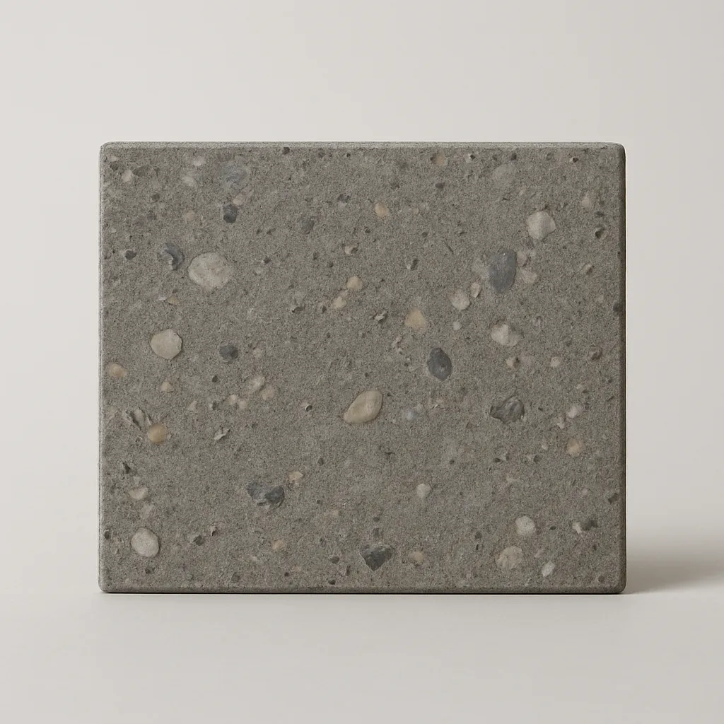
A gravel pit exposes well-rounded pebbles in clear beds that get finer away from the former ice margin. Which sediment is it?
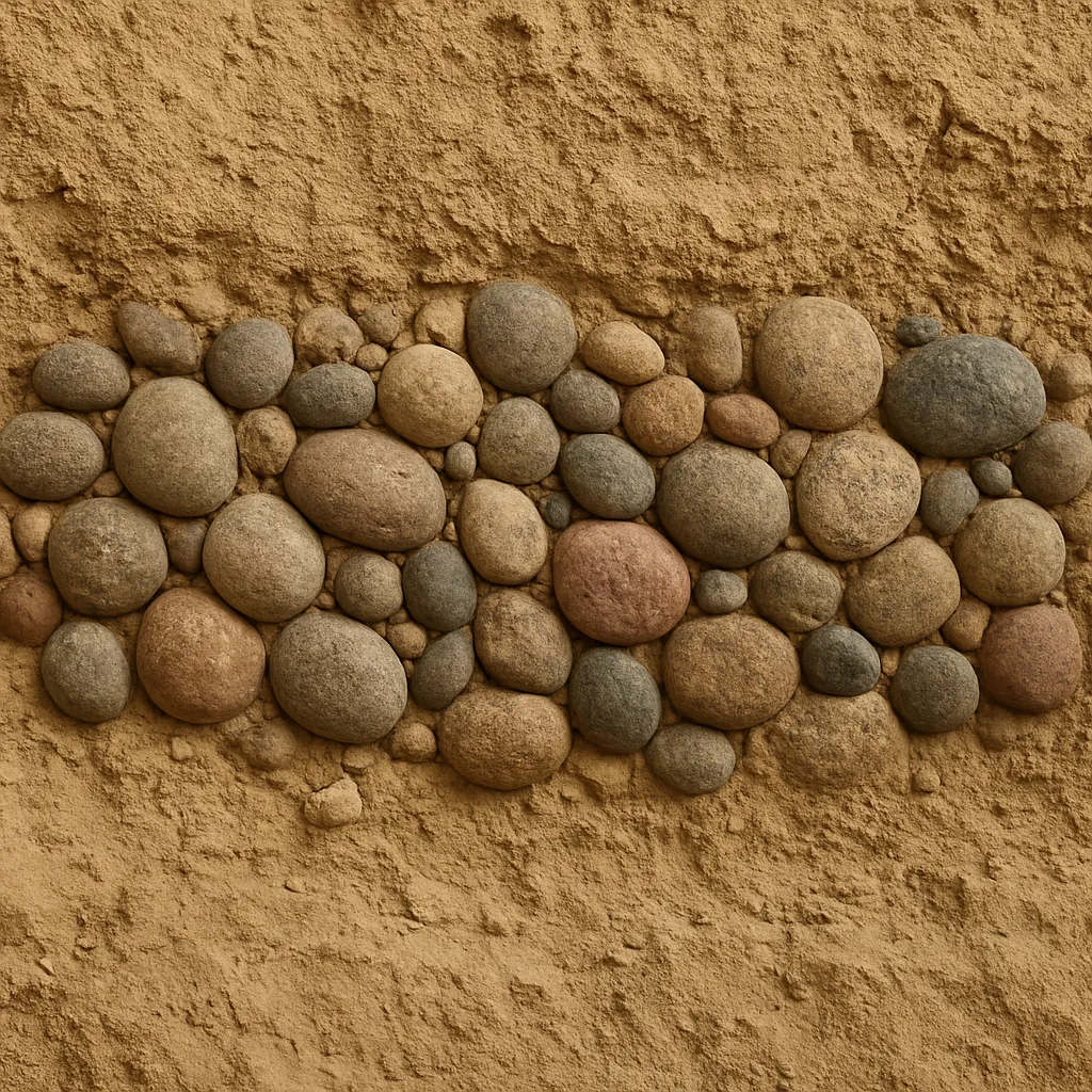
A moraine core contains angular boulders, pebbles, sand, and clay all packed together. Which material makes up most of it?
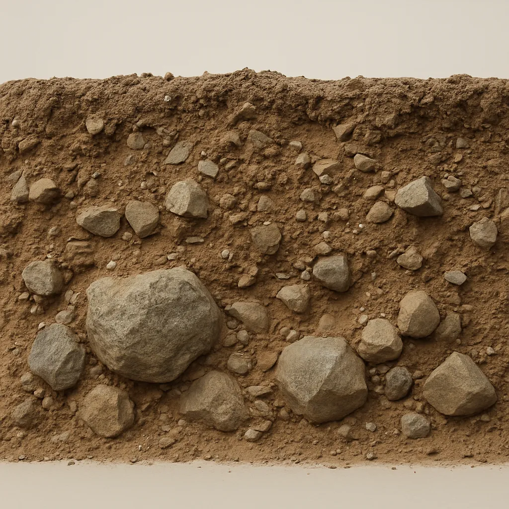
A flat plain beyond an end moraine contains cross-bedded sand and gravel sorted by size. What sediment is described?
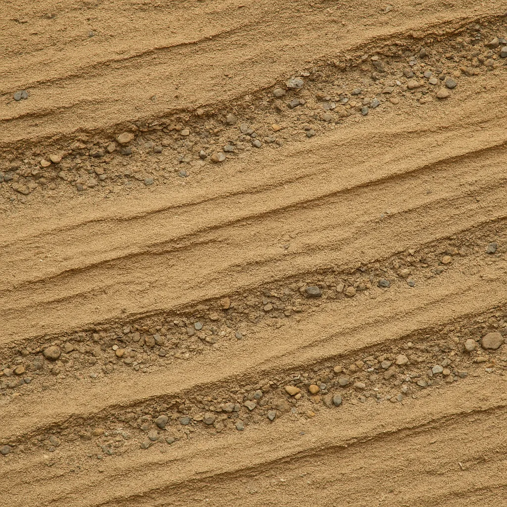
Use the contour map. Points A and B sit on opposite sides of the valley. What valley profile would a cross section from A to B show?
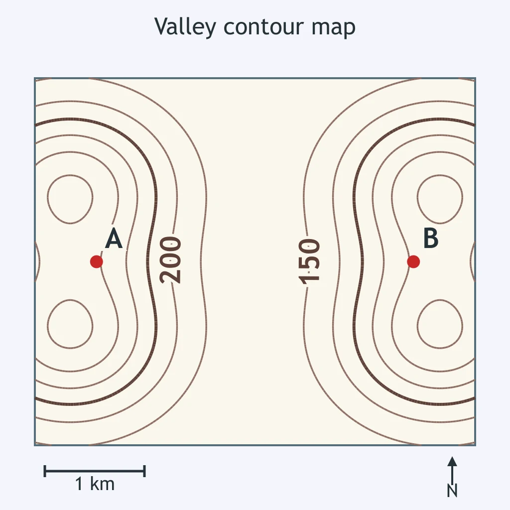
Use the contour map of a straight mountain valley. What agent most likely carved its shape?
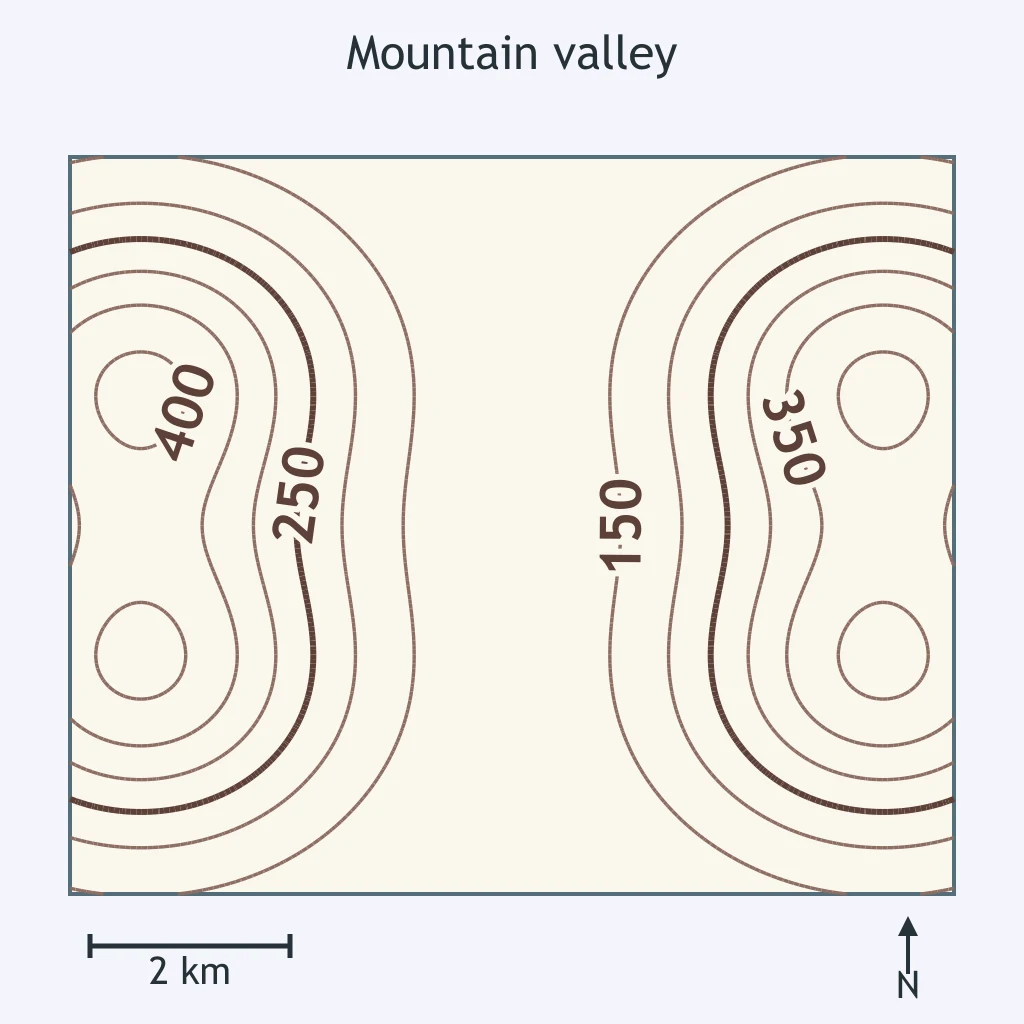
Use the contour map. Points A and B sit on opposite walls of the valley. What glacial landform is mapped?
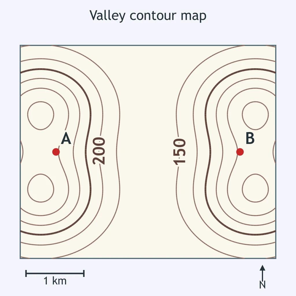
A small side valley ends high above the floor of a deeper, flat-floored main valley carved by a glacier. What is the side valley called?
Use the contour map of a glaciated valley. How did glacial erosion change the older river valley?
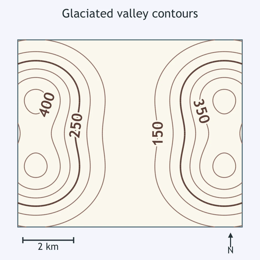
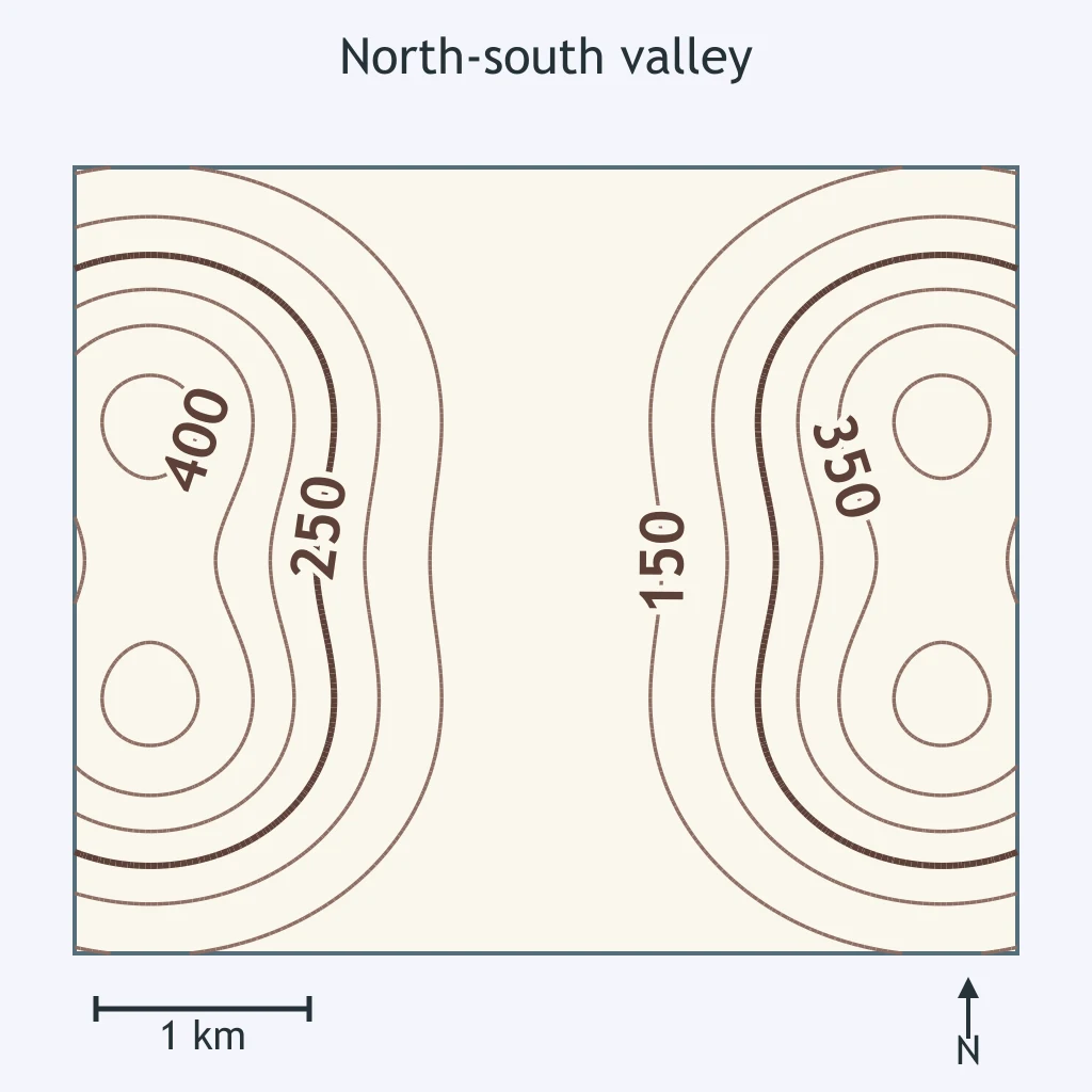
Use the contour map of a north-south valley. What process best explains its shape?
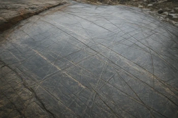
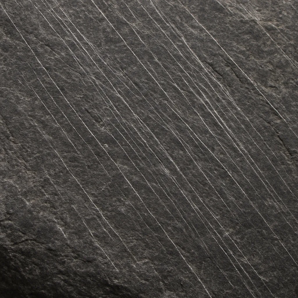
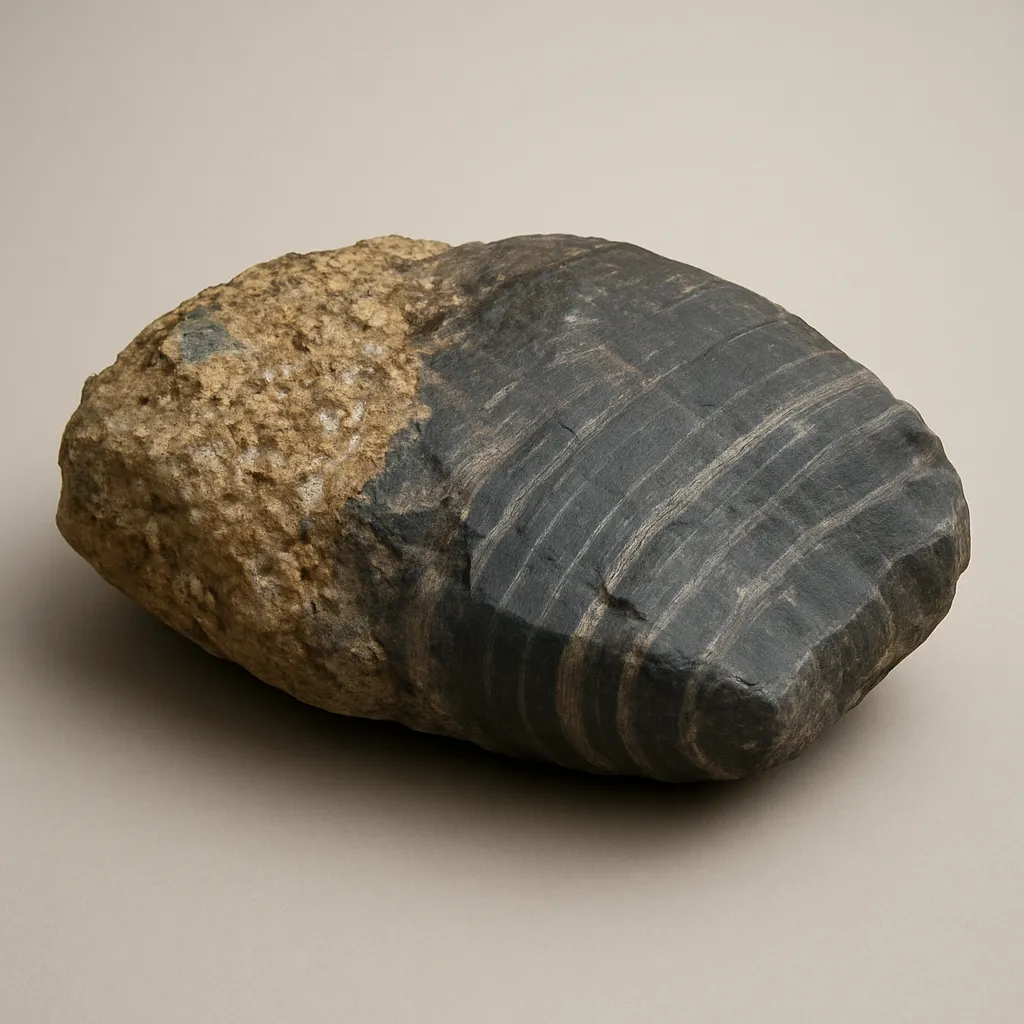
The bedrock image shows many parallel scratches all trending the same way across a polished surface. What evidence is shown?
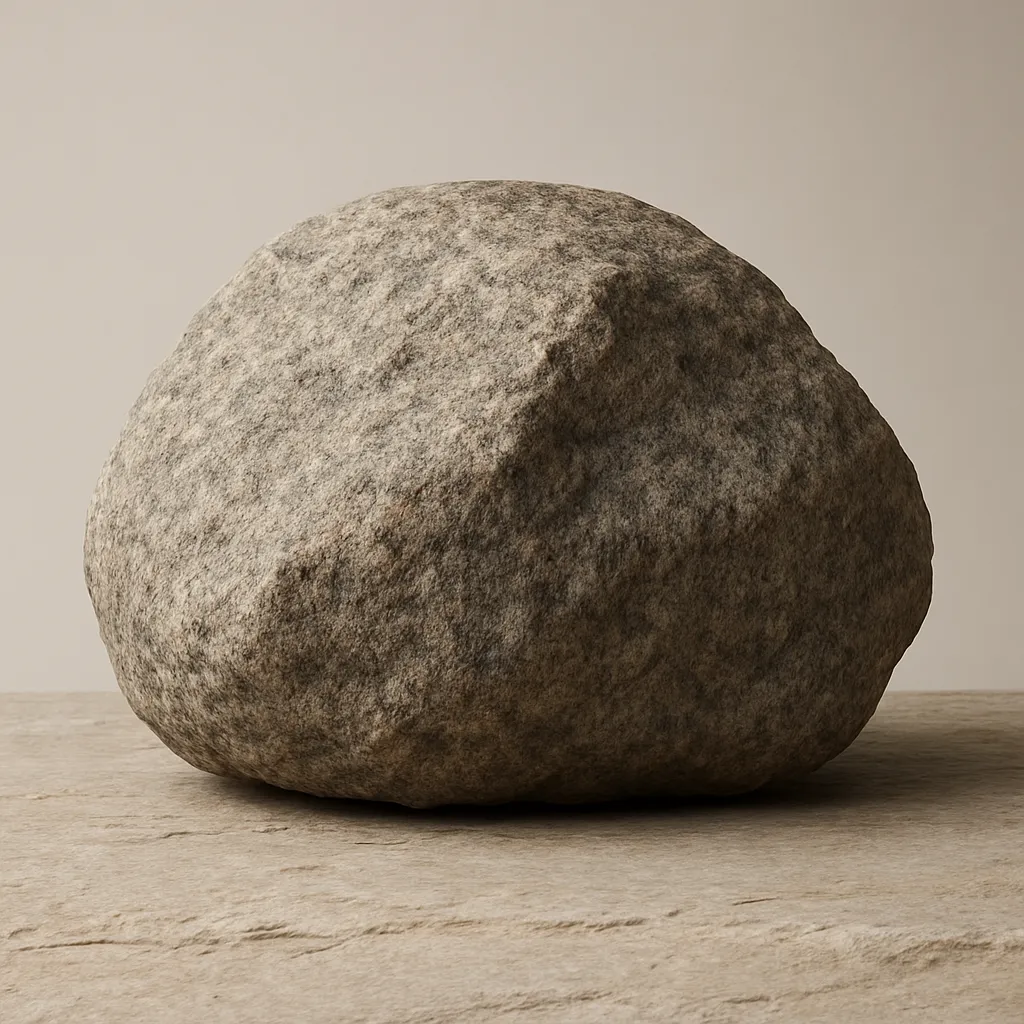
A large granite boulder rests on local limestone bedrock far from any granite outcrop. What is the best evidence-based interpretation?
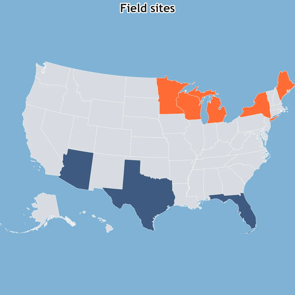
Use the shaded-state map. Glacial deposits appear across several northern states but not the southern comparison states. What past event fits the pattern?
An exposed outcrop has polished rock, grooves, and a thin cover of unsorted till. What does this combination most strongly show?
A hillside contains nested ridges of till, each crossing the valley like a curved dam. What do the ridges record?
A drumlin field has blunt, steep ends facing north and long tapered tails pointing south. Which way did the ice move?
On a roche moutonnée, the gentle polished side faces west and the steep plucked side faces east. Which way did the glacier move?
A field of streamlined drumlins has blunt ends to the northeast and tapered tails to the southwest. What was the ice-flow direction?
Crack the passcode before the zombies get in.
Answer, then swat bugs for bonus points.
Race through questions at your own speed.
Same question on every screen. Fastest wins.

Pick a tile, answer, hit bonuses and steals.
Relative Dating
50 questions