Loading
by BlastRoom
Where geographers get data, and which tool answers which question.
#us_hs_human_geography
35 questions
One question set, multiple game modes. Tap any game to see it in action. Not sure which to pick?
Answer to place stones and capture territory.
Outrun the snow together.
Earn blasts, then hunt the other team.
Answer to earn energy, then climb.

The class blasts through walls together.
Bid on mystery lots. Most money wins.
Sell tours. Nice, standard, or a total scam.

Answer, restock, and serve the rush.
More correct answers pulls the rope your way.
Answer, then shoot down the alien wave.
Answer, then tap to leap the frozen ridge.
A city needs to estimate how much tree canopy was lost across the whole city after a storm without sending crews to every block. What source best fits the task?
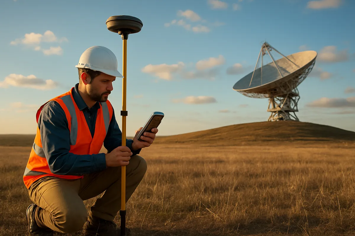
Road crews are marking the exact positions of flooded intersections as they drive through a county. What technology best records those locations?
A district wants the number of school-age children by census tract before planning new classrooms. What data source fits this need?
A transit agency wants to learn why riders say they avoid certain bus stops after dark. What method would best answer that question?
During a hurricane, residents submit road closures and damage reports through a public mapping app. What kind of source is the agency using?
A planner needs to combine parcel boundaries, zoning rules, and bus stop locations on one map and search for parcels near stops. What technology is needed?
A county planning vaccine clinics wants recent estimates of residents' ages and incomes by tract, between the once-a-decade counts. Which Census Bureau source provides them?
An agency uses satellite images to watch for new road cuts in a remote forest each month. What advantage of remote sensing does this rely on?
Park staff carry GPS receivers to record the locations of trailheads on a new trail. How does each receiver find its position?
A geographer asks residents to sketch their neighborhood from memory, marking places that feel welcoming or unsafe. What is she collecting?
A city lets residents report potholes with a phone app that adds each report to a public map. What is the main advantage of this data source?
A researcher uses GPS to record grocery store locations, then uses GIS to map stores per neighborhood. What does the GIS do that the GPS does not?
A geographer records long interviews with market vendors about how their trade has changed. What kind of data has she collected?
A county table lists each tract's median household income in dollars. How should that data be classified?
A student writes field notes describing storefront signs, sidewalk activity, and how safe a block feels. What type of data is this?
A building inventory records the height in feet of every structure downtown. What kind of data is being collected?
A survey asks residents to tell stories about why they moved into a neighborhood, instead of checking boxes from a list. What is the main strength of this approach?
A public works map totals the number of pothole reports on each block. What kind of data is the block total?
A class lists the neighborhood names people use for an area, including unofficial labels not printed on maps. What data type is this list?
A planner places flood zones, parcel boundaries, and school locations on one map to find schools inside the flood zone. What GIS capability is used?
A city wants to identify all homes within a half mile of a proposed rail station. What GIS operation fits this task?
Emergency analysts turn street addresses of 911 calls into map points before studying response times. What GIS capability are they using?
A health department attaches a table of asthma rates to census tract polygons using a shared tract ID. What GIS capability is this?
A logistics team uses a street network to find the fastest route between clinics while avoiding closed roads. What GIS capability is central?
A geographer selects all parcels that touch a polluted stream layer, then exports their owner list. What GIS capability makes this possible?
The census count shows a state has grown faster than others. What direct political consequence can follow after apportionment?
If a neighborhood is undercounted in census data used for federal grant formulas, what direct result is most likely?
A state uses new census population totals to redraw legislative districts with similar numbers of people. What process is this?
A city undercounts young children in several tracts, then uses those data to plan elementary schools. What planning error may result?
A county's census count falls below its actual population, and the state redraws legislative districts from those counts. What consequence can follow?
A user-edited street map has detailed trails near a university but few features in a low-income district. What limitation does this show?
A planner uses optical satellite imagery from a cloudy week to map flood damage. What limitation should she expect?
A GPS receiver in a downtown canyon of tall buildings places a survey point on the wrong side of the street. What limitation is likely?
A census outreach team worries that people without stable housing are missed more often than homeowners. What bias is the concern?
A student interviews shoppers only at noon outside one mall, then describes the whole city's shopping patterns. What limitation affects the data?
Maps and Map Types: Reference, Thematic, Choropleth, Dot, Cartogram and Flow
35 questions

Map Projections: Mercator, Peters, Robinson and Goode
25 questions

Map Scale and Scales of Analysis
30 questions

Spatial Concepts: Location, Site, Situation, Space and Place
35 questions
Distance Decay, Friction of Distance and Time-Space Compression
30 questions
Crack the passcode before the zombies get in.
Answer, then swat bugs for bonus points.
Race through questions at your own speed.
Same question on every screen. Fastest wins.

Pick a tile, answer, hit bonuses and steals.