Loading
by BlastRoom
The three kinds of region and how each one is bounded.
#us_hs_human_geography
30 questions
One question set, multiple game modes. Tap any game to see it in action. Not sure which to pick?
Answer to place stones and capture territory.
Outrun the snow together.
Earn blasts, then hunt the other team.
Answer to earn energy, then climb.

The class blasts through walls together.
Bid on mystery lots. Most money wins.
Sell tours. Nice, standard, or a total scam.

Answer, restock, and serve the rush.
More correct answers pulls the rope your way.
Answer, then shoot down the alien wave.
Answer, then tap to leap the frozen ridge.
Every county in a wheat belt qualifies only if more than half of its harvested acres are wheat, and the line is drawn where that share falls below half. What classification fits?
A metro commuting area includes towns where many workers travel daily to Dallas, with fewer trips from farther towns. What classification fits?
A survey map draws the edge of “Up North” where most respondents first start using that nickname, but no measured cutoff or law fixes the line. What classification fits?
A planning office groups counties only when their median household income is above the same dollar cutoff. What classification fits?
A radio market extends outward from one transmitter, and the edge is where reception becomes too weak for regular listening. What classification fits?
An atlas marks Tornado Alley by including counties that average at least a stated number of tornado days per year. What classification fits?
Different residents and business reporters draw Silicon Valley’s edge differently, yet they use the name for a recognized technology area. What classification fits?
A soil map groups land where the same soil type covers most of the ground, and the boundary is drawn where a different soil type takes over. What classification fits?
A mall’s trade area is mapped from shoppers’ trips to the mall, with visits becoming less common as distance increases. What classification fits?
A city food-shed map includes farms that ship produce to one urban market, and the market’s pull weakens with distance. What classification fits?
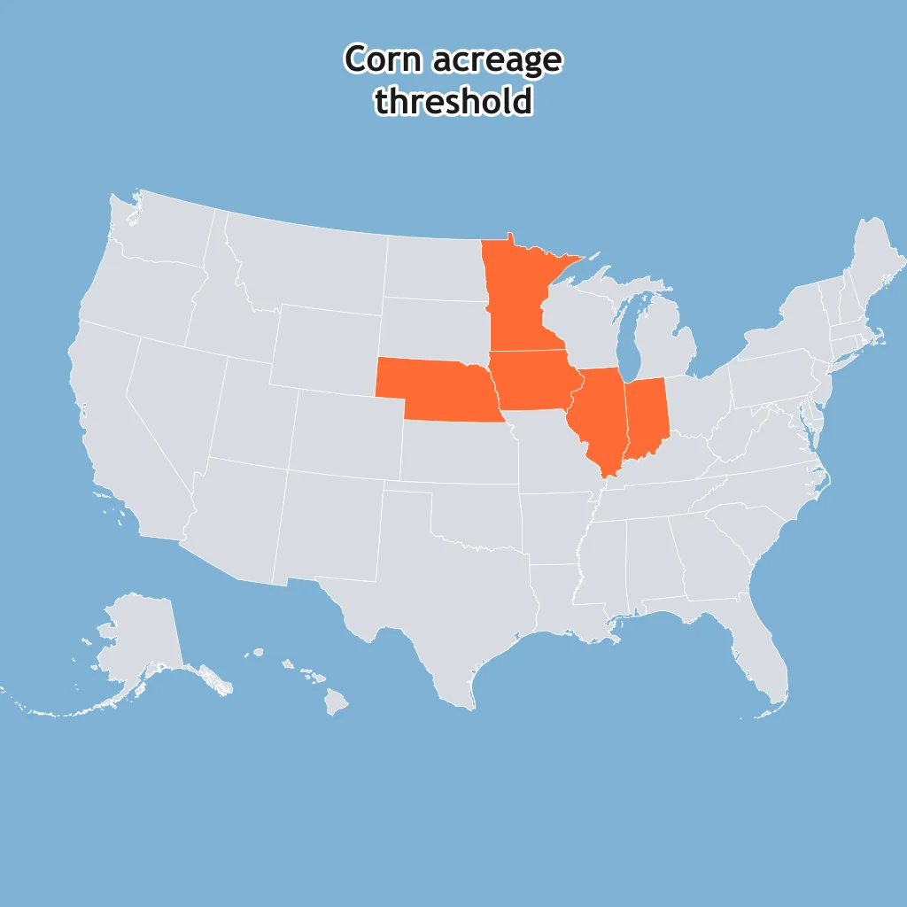
Use the map. The shaded states were selected because each passes the same census threshold for corn acreage. What does the figure show?
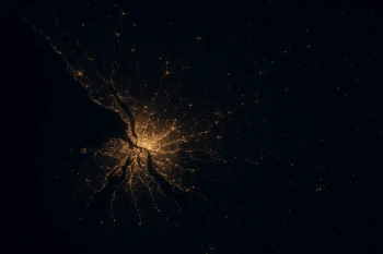
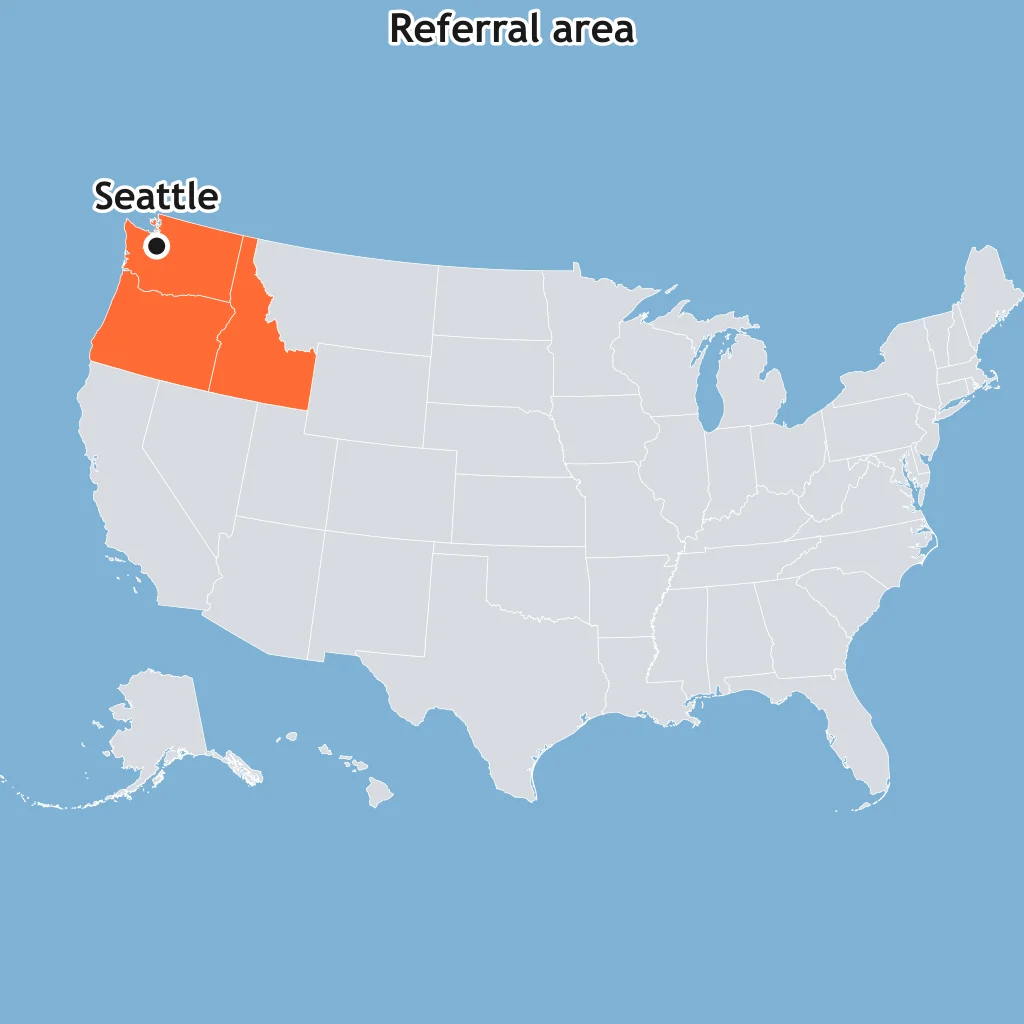
Use the map. The shaded area sends most specialty medical referrals to the labeled city, with fewer referrals from farther places. What does the figure show?
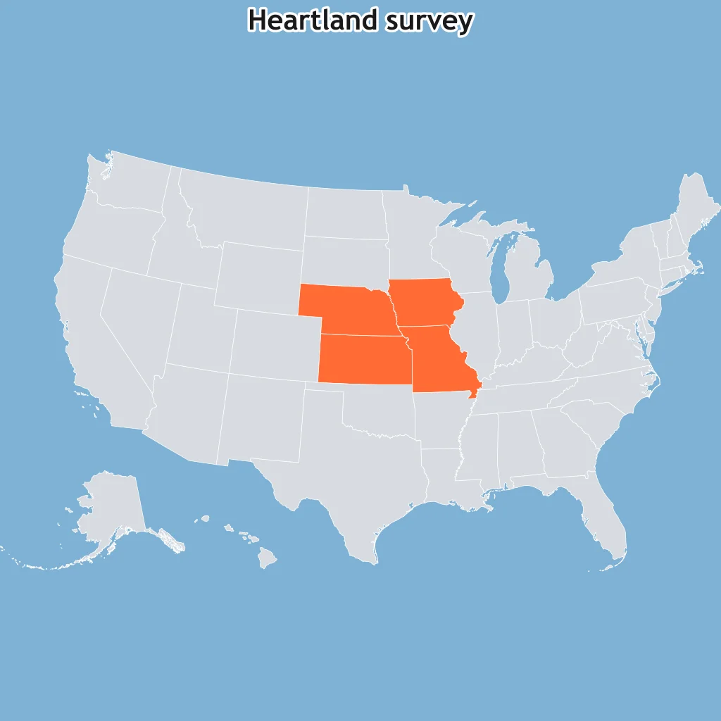
Use the map. The shaded states are those most often named in surveys as part of the Heartland, while edge states vary by respondent. What does the figure show?
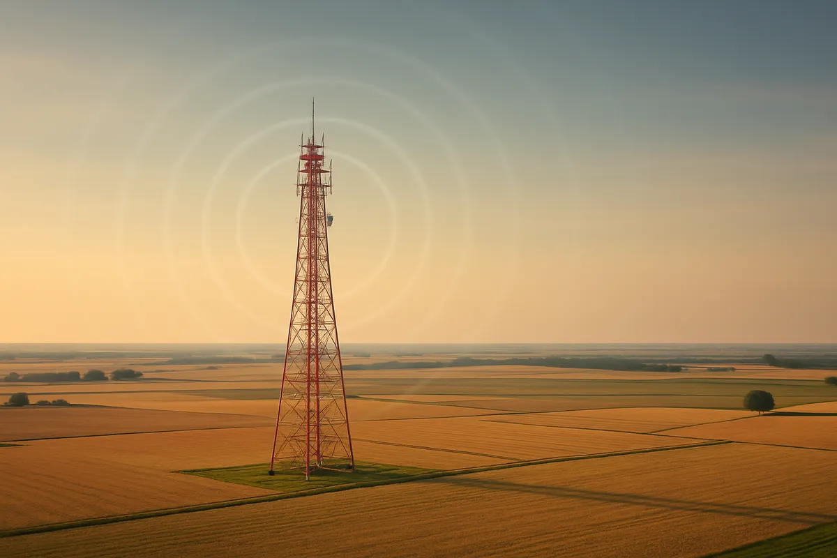
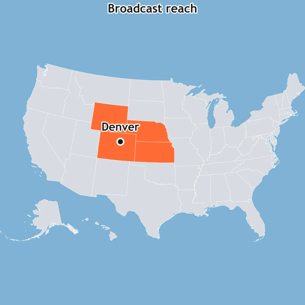
Use the map. Reception is measured from the labeled transmitter city and fades near the edge of the shaded area. What does the figure show?
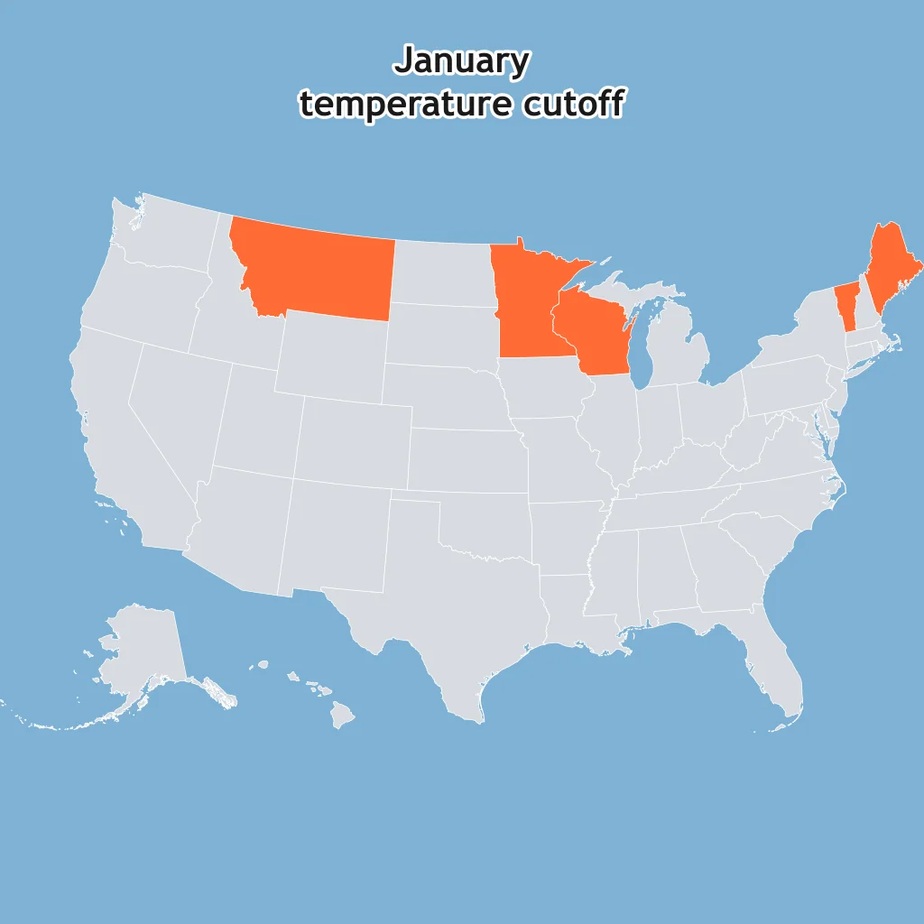
Use the map. The shaded states are grouped because each has an average January temperature below the same cutoff. What does the figure show?
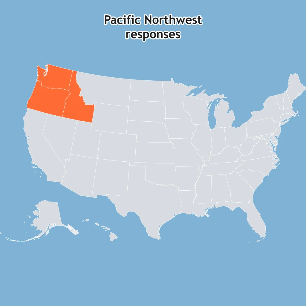
Use the map. The shaded states are places respondents commonly include in the Pacific Northwest, though people dispute the eastern edge. What does the figure show?
Residents disagree about which states belong to the Midwest, and no single statute or census cutoff fixes the edge, yet the term is widely used. What explains the classification?
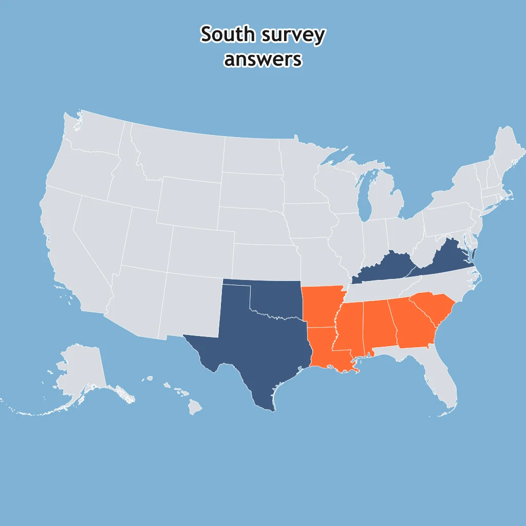
Use the map. Two colored groups show different survey answers for “the South,” and no legal boundary settles which edge is correct. What explains the classification?
People often argue over where Upstate New York begins, but the phrase still names a recognizable part of the state. What explains the classification?
Writers use “Rust Belt” for a manufacturing region, but they disagree about outer cities when no single factory-loss cutoff is required. What explains the classification?
Many Americans use “the West,” but they disagree about whether the line begins at the Great Plains, the Rockies, or the Pacific states. What explains the classification?
Use the map. Kansas is in a crop-threshold area and also in a Kansas City media area, while western counties may be called High Plains. What does this show?
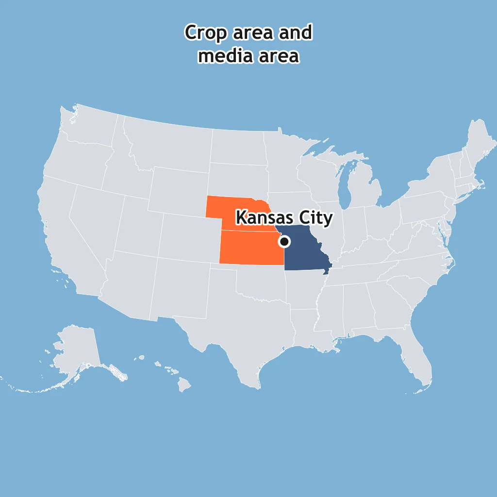
Use the map. One grouping follows drought measurements, while another follows cattle sales patterns across the Plains. Why can the boundaries differ?
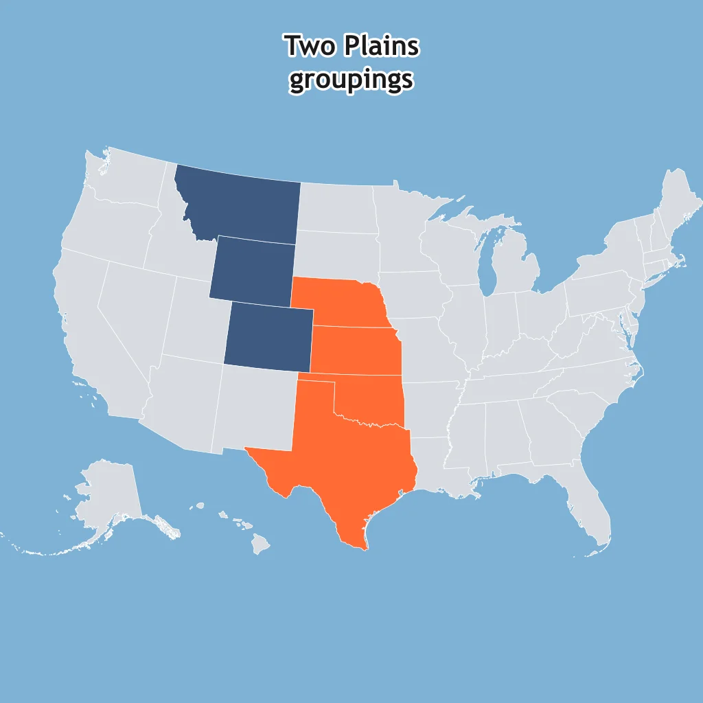
Use the map. The same city is inside a broad Sun Belt grouping and also serves a smaller commuter area. What does scale help explain?
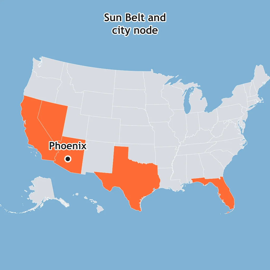
A county lies inside a state boundary, a daily commuting zone, and a locally named cultural area. How should a geographer treat those regions?
A class divides the same city by income data, bus-route service areas, and neighborhood identities. Why can all three maps be useful?
A geographer maps coastal counties by hurricane risk for one study and by tourism flows to beach towns for another. What does this illustrate?
Use the map. A regional airport draws passengers from the shaded area, and the share using it declines with distance from the labeled airport city. What are they called?
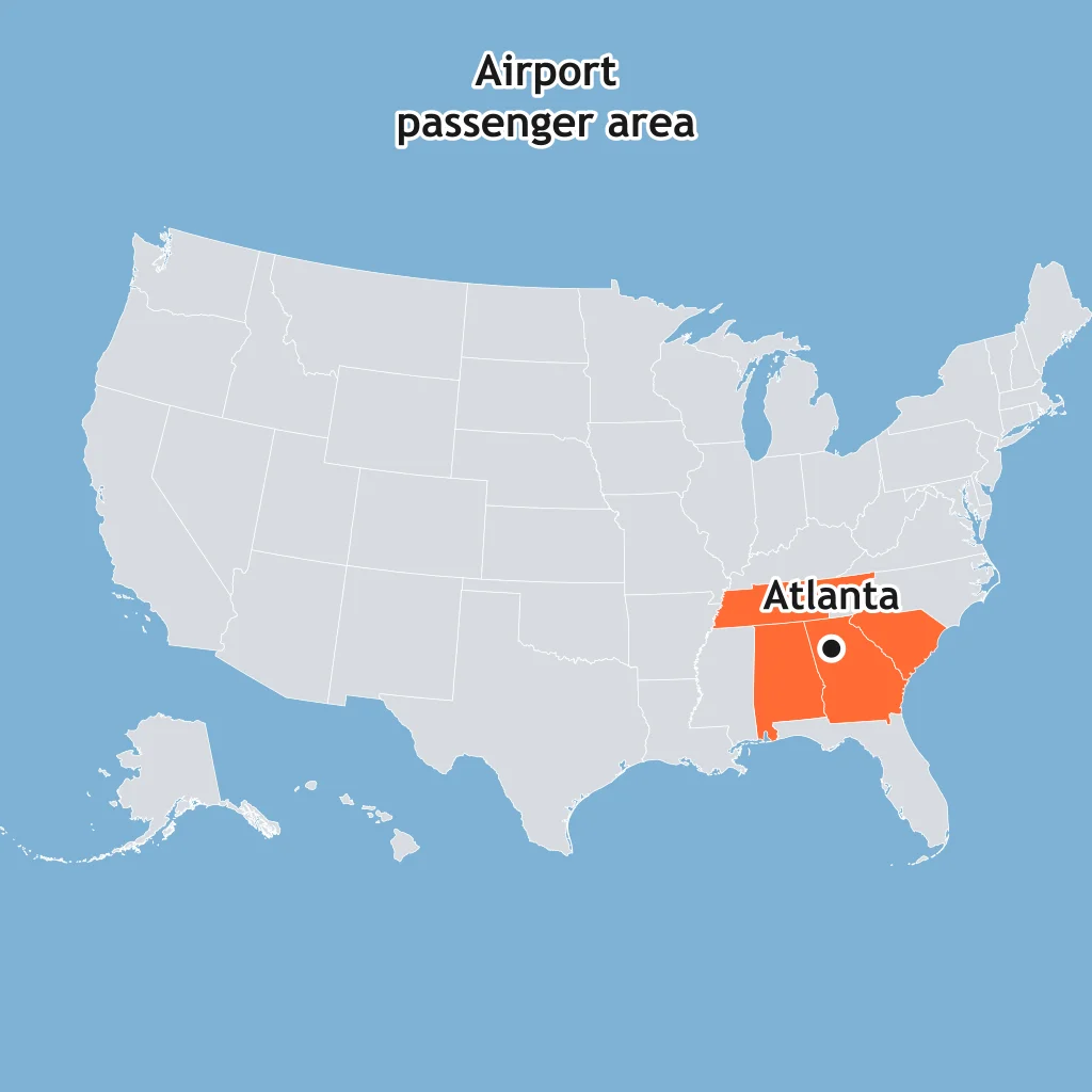
Use the map. A newspaper based in the labeled city sells papers across the shaded area, with sales dropping outward. What are the city and shaded area?
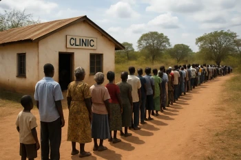
A hospital in Rochester receives patients from rural clinics across a surrounding service area. In functional-region terms, what are the hospital and its service area?
Spatial Concepts: Location, Site, Situation, Space and Place
35 questions
Distance Decay, Friction of Distance and Time-Space Compression
30 questions
Patterns of Distribution: Density, Concentration, Dispersal and Pattern
25 questions
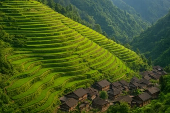
Human-Environment Interaction: Environmental Determinism, Possibilism and Sustainability
30 questions
Thinking Geographically: Mixed Review
Crack the passcode before the zombies get in.
Answer, then swat bugs for bonus points.
Race through questions at your own speed.
Same question on every screen. Fastest wins.

Pick a tile, answer, hit bonuses and steals.
60 questions