Loading
by BlastRoom
Relate the shape of a landform or a whole landscape to the process and the rock that produced it.
#earth_space_science
30 questions
One question set, multiple game modes. Tap any game to see it in action. Not sure which to pick?
Answer to place stones and capture territory.
Outrun the snow together.
Earn blasts, then hunt the other team.
Answer to earn energy, then climb.

The class blasts through walls together.
Bid on mystery lots. Most money wins.
Sell tours. Nice, standard, or a total scam.

Answer, restock, and serve the rush.
More correct answers pulls the rope your way.
Answer, then shoot down the alien wave.
Answer, then tap to leap the frozen ridge.
The contour lines on this map sit far apart everywhere, elevation changes by less than 40 m across the whole area, and one stream loops in broad bends near the map's low edge. What landscape is shown?
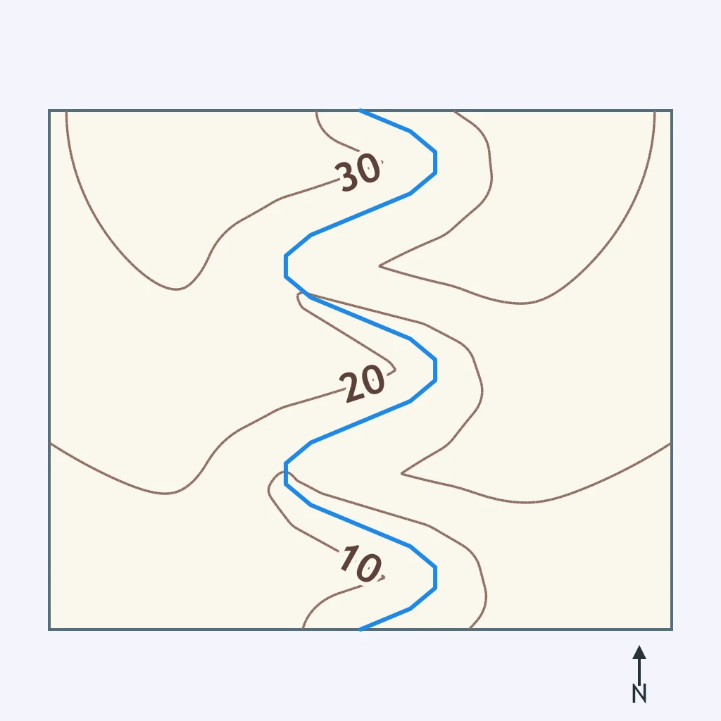
This map's contours are widely and evenly spaced over a low-lying surface, with a single meandering stream crossing gently sloped ground. Which landscape best matches the pattern?
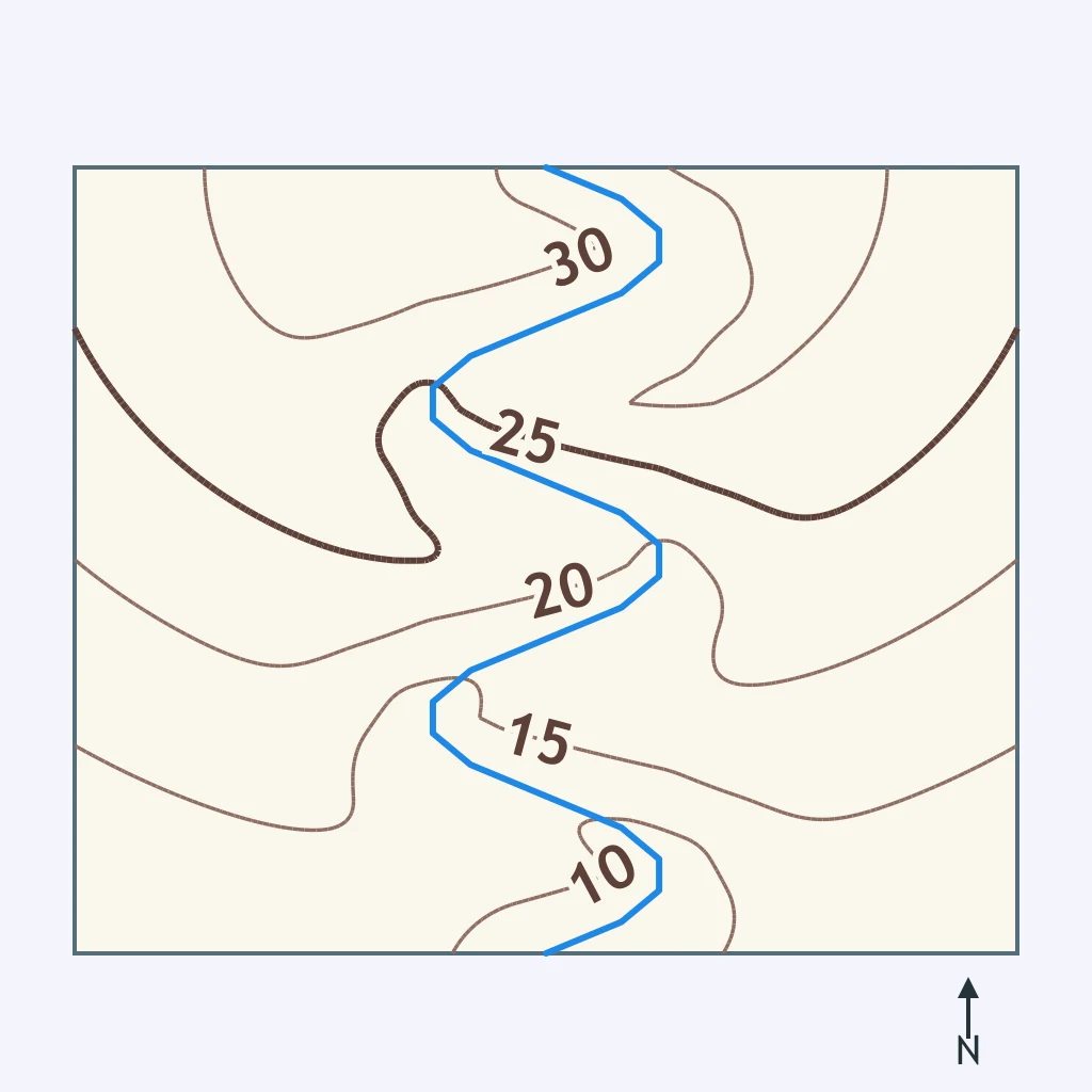
Look at the contour spacing on the map: it is wide throughout, the relief is under 40 m, and a broad stream swings in wide curves. What kind of landscape does this describe?
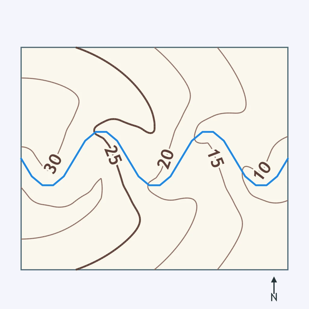
A contour map shows nearly uniform high elevation across most of its area, interrupted by one narrow band of tightly packed contours where a canyon has been cut straight through it. What landscape is this?
A contour map of a high plateau shows widely spaced contours almost everywhere, but in one narrow strip the contours are packed tightly together. What does that strip show?
A contour map shows three separate bands of closely spaced lines running roughly parallel to one another, each rising to about the same height, with narrower low ground between them. What kind of landscape is mapped?
A contour map of a folded mountain belt shows long, parallel ridges of similar height with narrow low ground between them. Where would a stream on this map most likely flow?
A contour map shows an irregular jumble of closely spaced contours: several separate high knobs and low closed basins packed close together with no single dominant ridge or stream. What landscape is this?
A contour map of a glaciated highland shows several small closed contours with short tick marks pointing inward. What do these marked contours show?
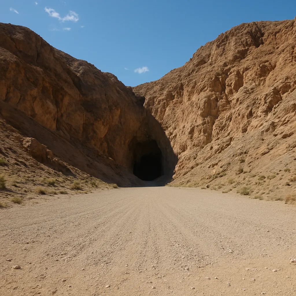
A cone-shaped apron of gravel and sand spreads out where a steep desert canyon opens onto a flat valley floor, with the coarsest material piled nearest the canyon mouth. What is this landform called?
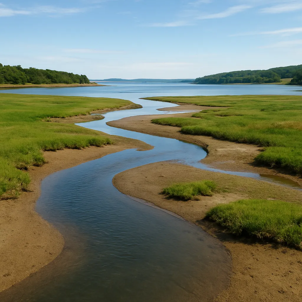
Where a river meets a calm bay, its channel splits into several branching distributaries that build a wide, fan-shaped apron of new land out into the water. What landform is forming?
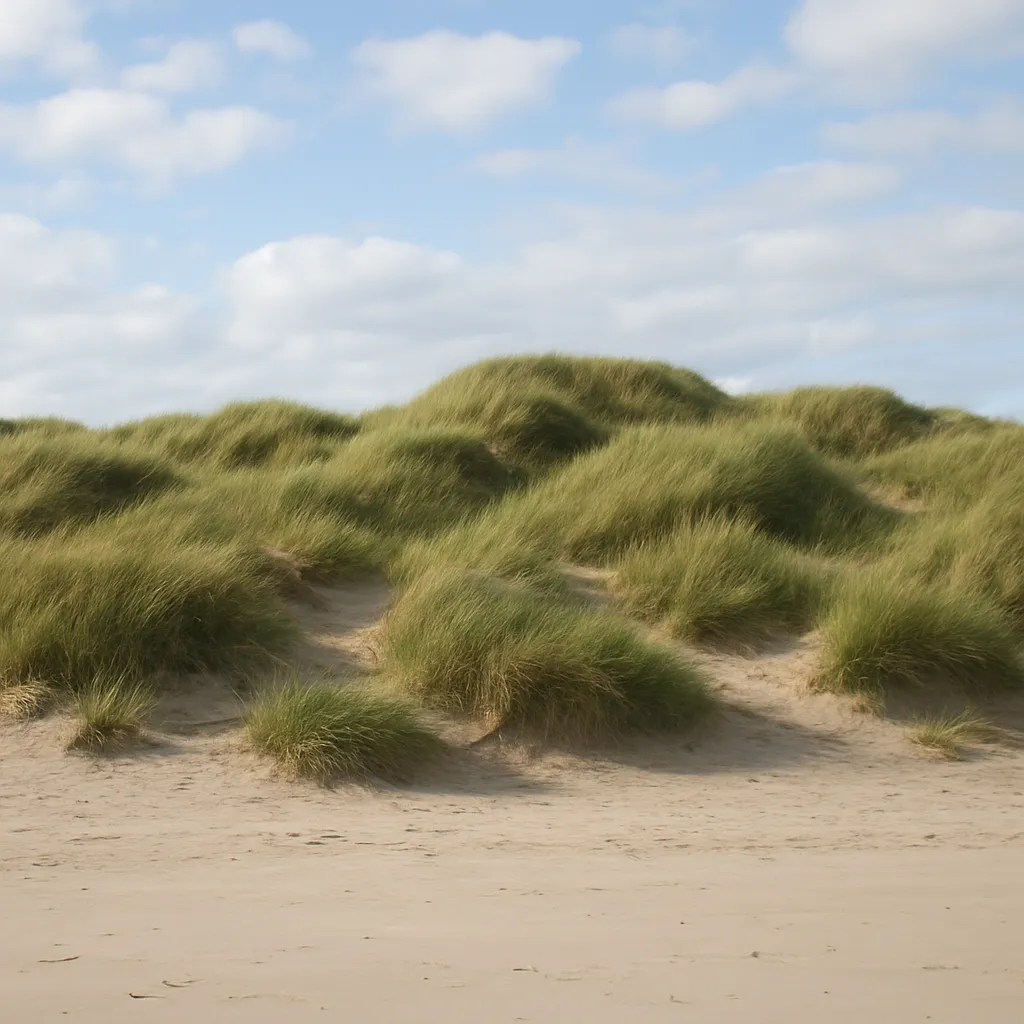
Along a sandy beach, onshore wind has piled loose sand into low, grass-anchored ridges just behind the high-tide line, running parallel to the shoreline. What landform is this?
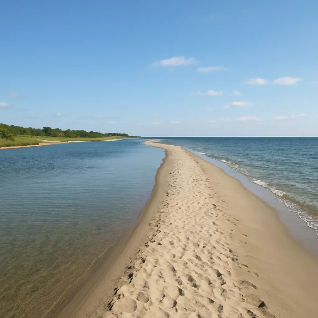
A long, narrow ridge of sand runs parallel to the mainland coast, separated from it by a shallow lagoon, and takes the force of storm waves before they reach the shore behind it. What landform is this?
Along a river prone to flooding, repeated overflow has built low ridges of coarse sediment on both banks, standing slightly higher than the floodplain farther back from the channel. What are these ridges called?
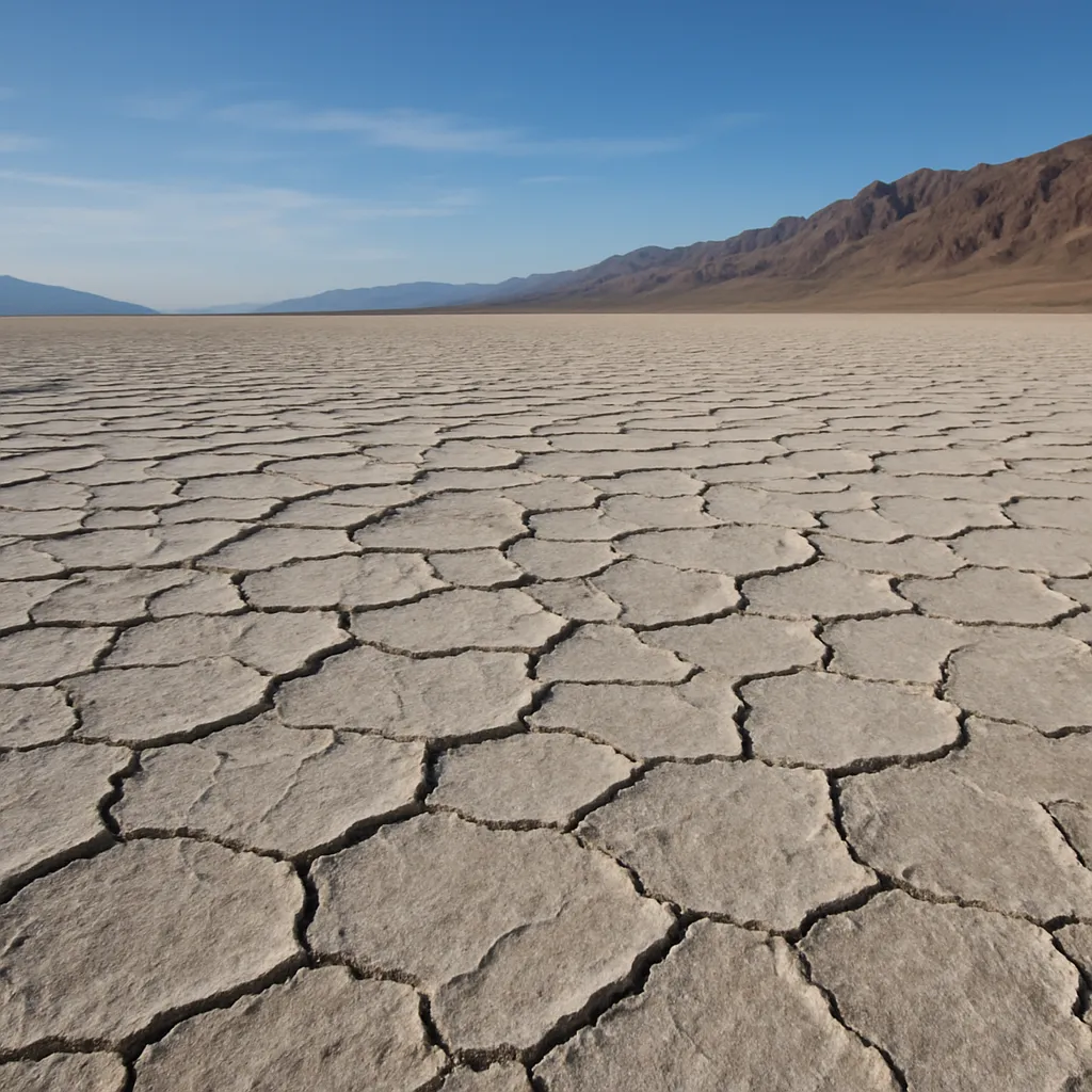
In a closed desert basin with no outlet, occasional rain forms a shallow lake that soon evaporates, leaving behind a flat, cracked, salt-crusted lake bed. What landform is this?
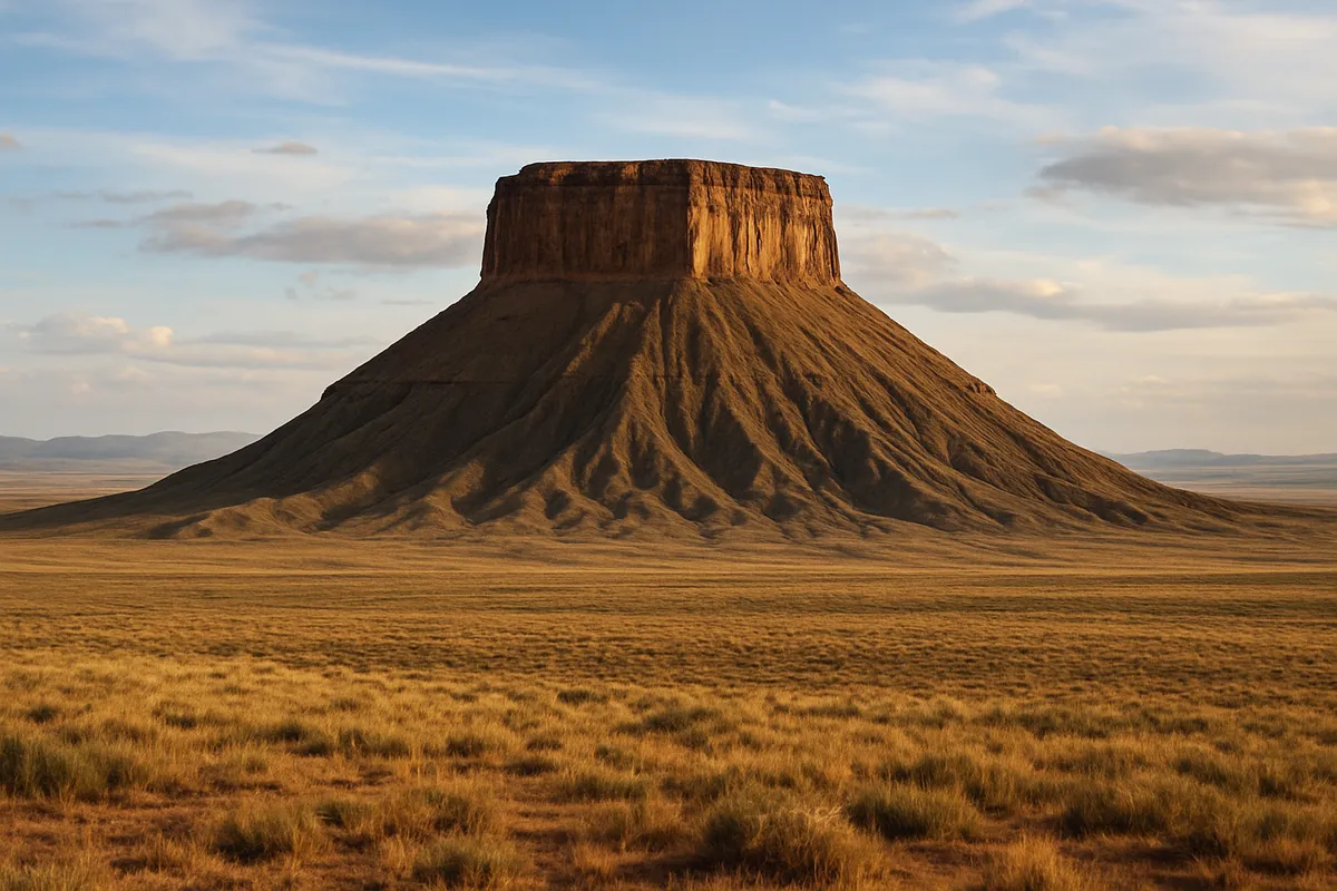
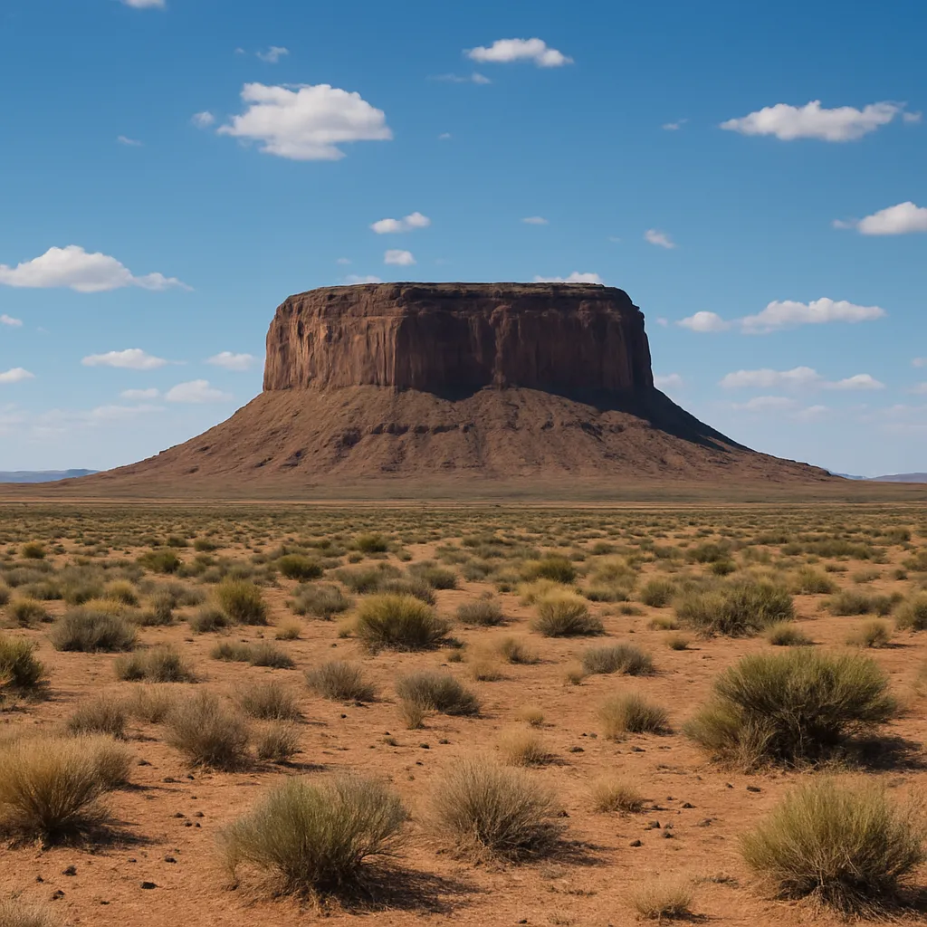
A flat-topped hill with steep, cliff-like sides stands alone above a desert plain, capped by a hard layer of rock that has protected the softer rock beneath it from erosion. What landform is this?
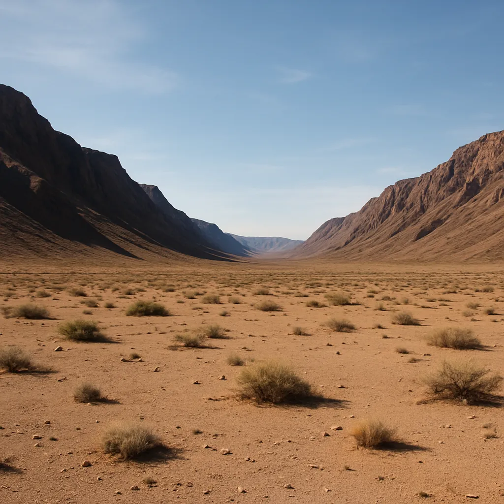
A flat-floored valley lies between two mountain ranges, dropped down along steep faults on both sides while the ranges beside it were uplifted along those same faults. What landform is this?
Two long ridges in the same mountain region stand well above the valleys between them. The ridges are underlain by quartzite, and the valleys are underlain by shale. Why does the relief follow the rock this way?
In one region, limestone bedrock has eroded into a network of sinkholes, caves and low rolling hills, while nearby sandstone bedrock forms steep, standing ridges. What best explains the contrast?
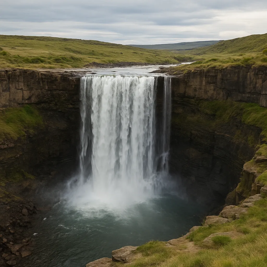
At Niagara Falls, the river plunges over a ledge of dolostone that sits on top of shale, and the falls has slowly retreated upstream as the shale is undercut. Why does the ledge hold up the waterfall?
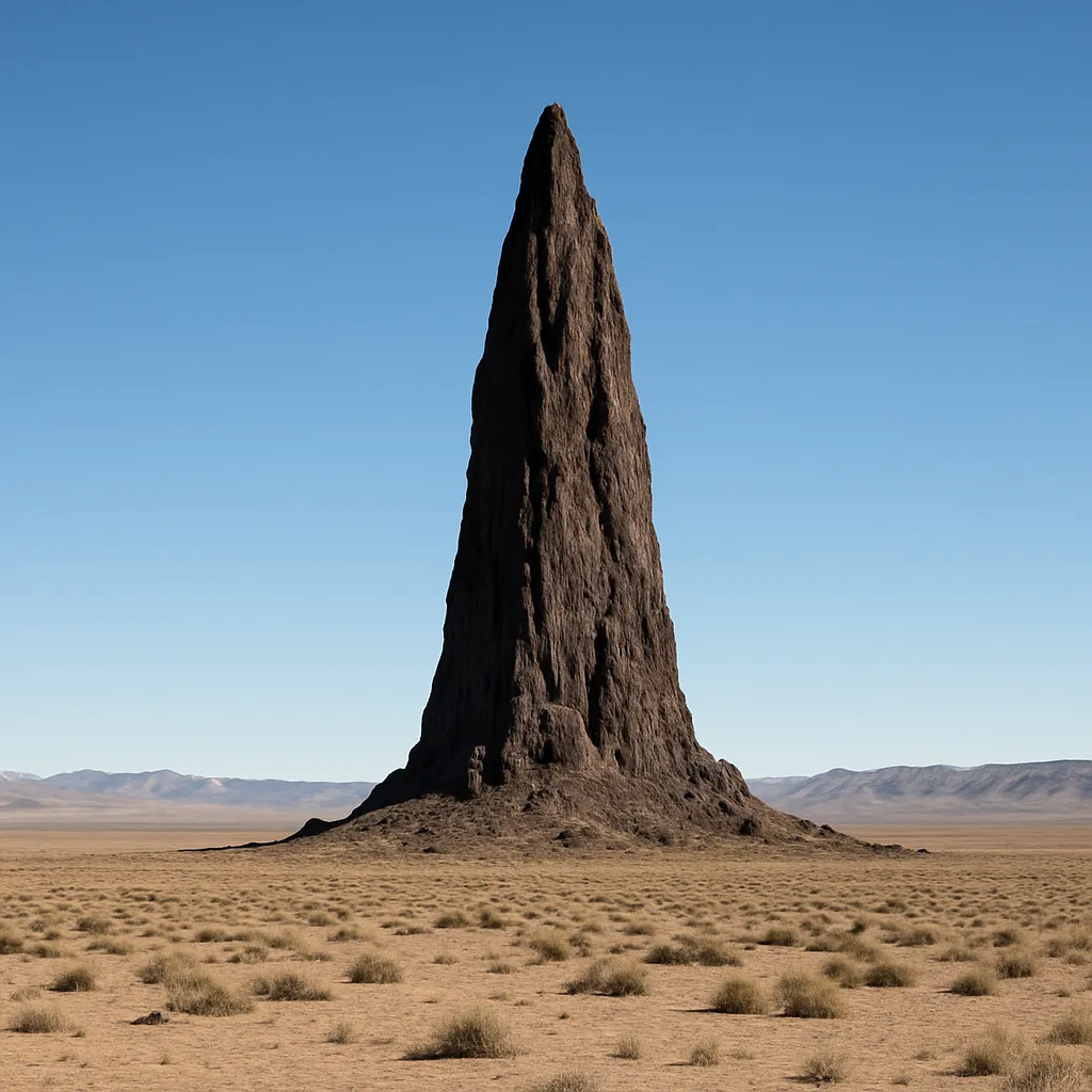
Ship Rock in New Mexico is a tall, narrow spire of solidified volcanic rock that stands hundreds of meters above the surrounding plain, where the sedimentary rock around it has eroded away. Why does Ship Rock still stand?
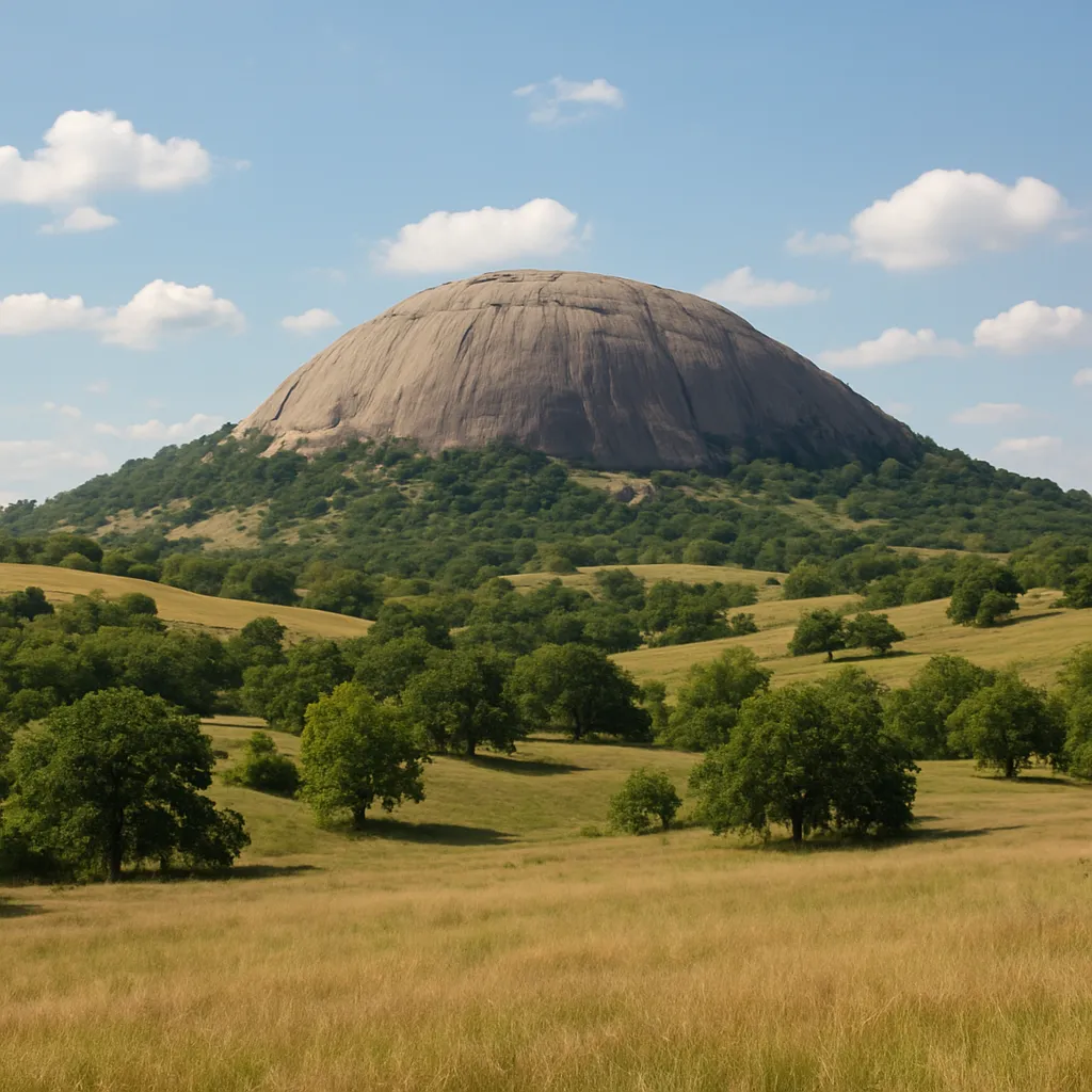
Stone Mountain in Georgia is a smooth, rounded dome of exposed granite that rises abruptly above the surrounding, gently rolling land, where rock that once covered it has long since worn away. Why does the dome remain standing?
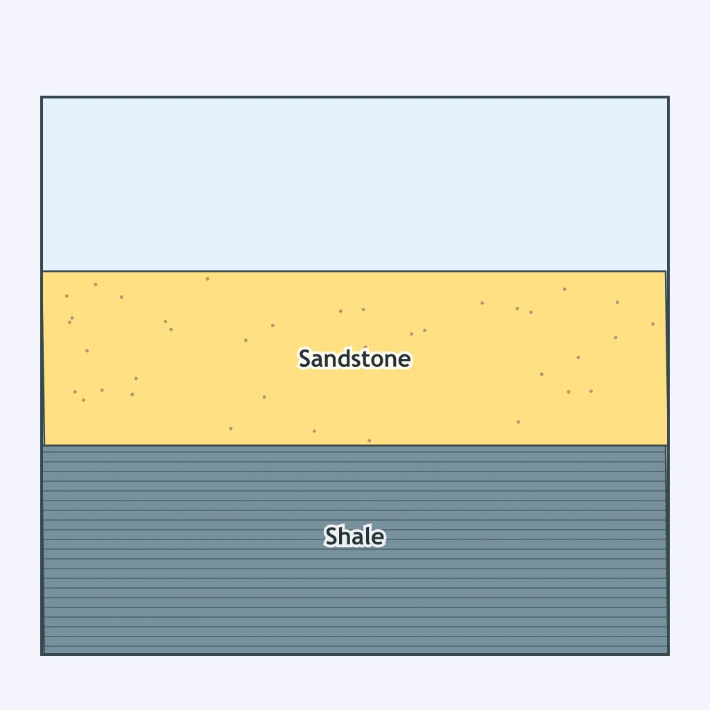
Use the cross section. It shows a sandstone layer and a shale layer. If both were later exposed side by side at the surface and weathered under the same climate for millions of years, which would end up standing higher?
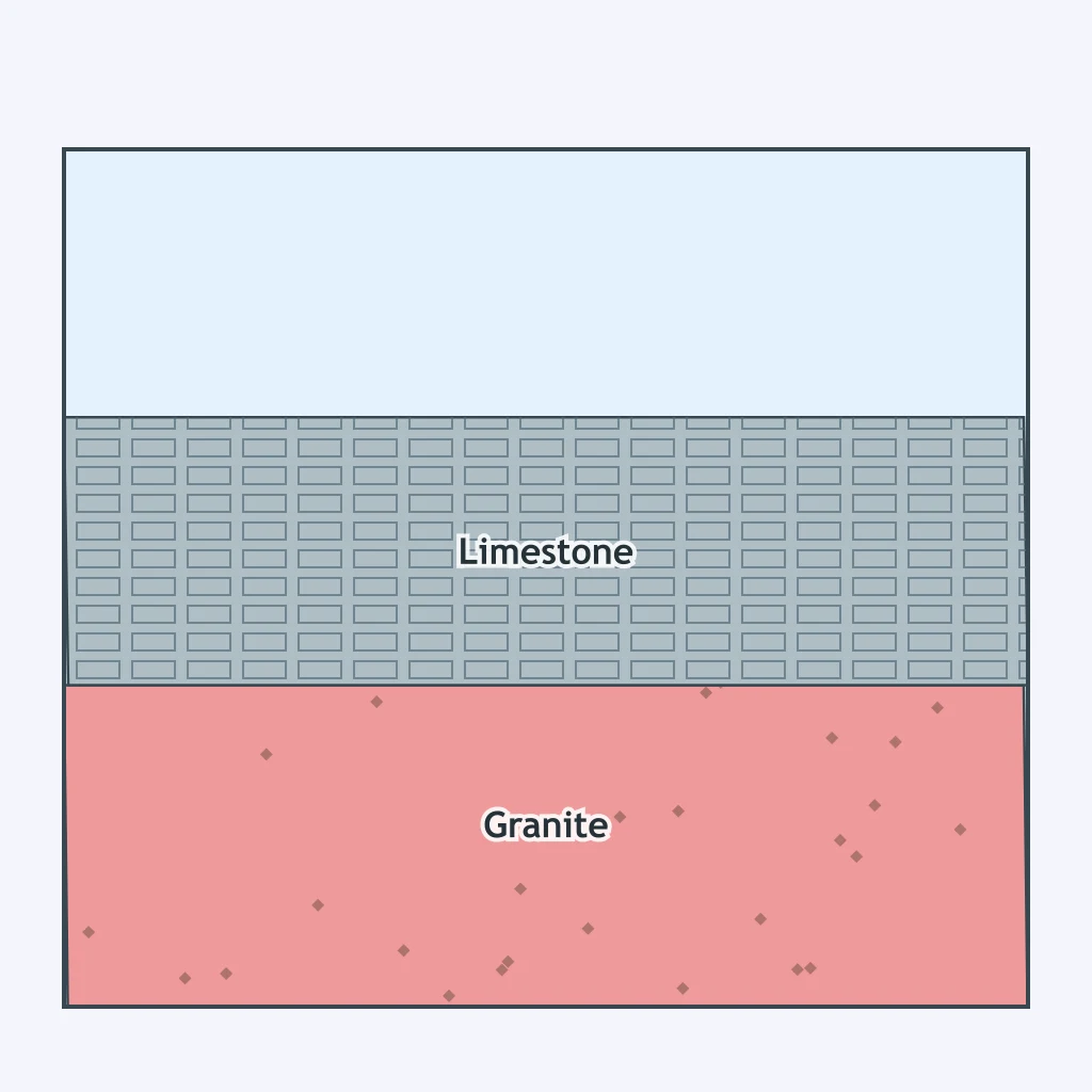
Use the cross section. It shows a limestone unit and a granite unit exposed in the same region. Over millions of years of weathering in a humid climate, which unit resists being carved into caves and sinkholes?
The Appalachian region of Pennsylvania has long, parallel ridges and valleys that bend in broad curves across the state. What produced this arrangement?
The Ozark Plateau of Missouri and Arkansas is riddled with caves, sinkholes and springs across its rolling upland surface. What explains this karst landscape?
Across Nevada, long north-south mountain ranges alternate with flat desert basins in a repeating pattern for hundreds of kilometers. What produced this arrangement?
The Great Plains stretch for hundreds of kilometers with almost no change in elevation, sloping so gently a person cannot see the grade by eye. What best explains this very low relief?
The Black Hills of South Dakota rise as a roughly oval dome, with ancient granite exposed at the center and rings of younger sedimentary rock tilted outward around it. What produced this pattern?
The Outer Banks of North Carolina form a narrow, curving chain of sandy islands running along the coast, separated from the mainland by wide, shallow sounds. What explains this coastal landform?
Crack the passcode before the zombies get in.
Answer, then swat bugs for bonus points.
Race through questions at your own speed.
Same question on every screen. Fastest wins.

Pick a tile, answer, hit bonuses and steals.
Rivers and Drainage Patterns
40 questions