Loading
by BlastRoom
Climate zones, natural vegetation and the resources Latin America depends on.
#us_hs_world_geography
30 questions
One question set, multiple game modes. Tap any game to see it in action. Not sure which to pick?
Answer to place stones and capture territory.
Outrun the snow together.
Earn blasts, then hunt the other team.
Answer to earn energy, then climb.

The class blasts through walls together.
Bid on mystery lots. Most money wins.
Sell tours. Nice, standard, or a total scam.

Answer, restock, and serve the rush.
More correct answers pulls the rope your way.
Answer, then shoot down the alien wave.
Answer, then tap to leap the frozen ridge.
Manaus, in the Amazon Basin, is hot in every month and receives heavy rain in every month of the year. Which climate zone is this?
The Llanos of Venezuela and Colombia are hot all year, with a wet summer and a long dry winter. Which climate zone best fits those monthly conditions?
Central Chile near Santiago has warm, dry summers and cooler, wetter winters. Which climate zone is this?
Buenos Aires has warm summers, mild winters, and rain in all seasons. Which climate zone best describes this part of the Pampas?
Antofagasta on Chile's northern coast gets almost no rain in most years, while temperatures stay mild. Which climate zone is this?
Mexico City is near the tropics but sits above 7,000 feet, with mild days, cool nights, and a marked summer rainy season. Which climate zone fits best?
Southern coastal Chile is cool, cloudy, windy, and wet much of the year, with no hot summer. Which climate zone best matches those conditions?
Eastern Patagonia is cool, windy, and dry, with low rainfall on the inland side of the Andes. Which climate zone best fits it?
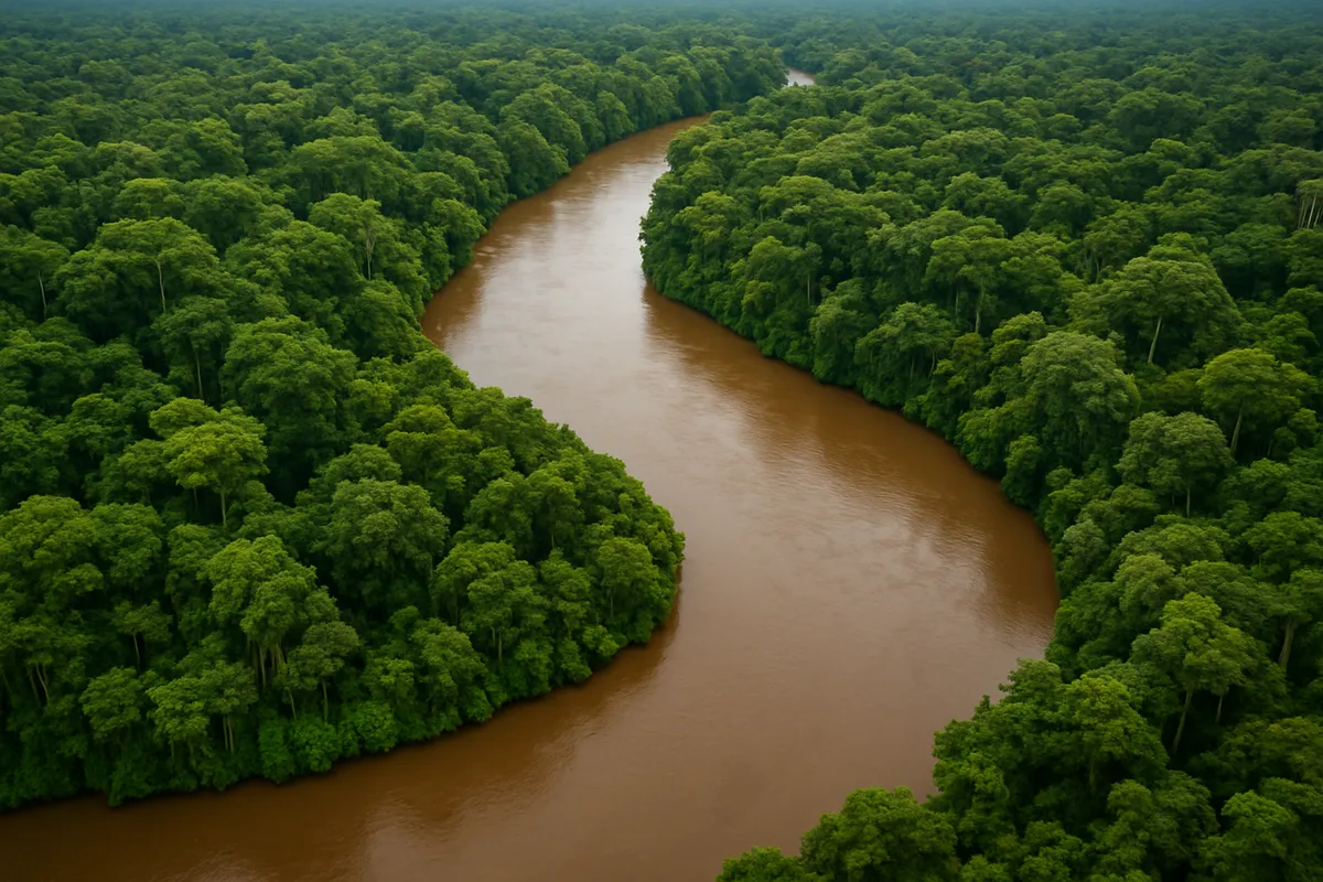
A lowland area is hot and wet all year, with broadleaf evergreen trees forming a dense canopy. Which natural vegetation is most likely?
Central Brazil has tall grasses with scattered trees, green in the wet season and brown in a long dry season. Which vegetation is this?
A coastal desert gets only rare rainfall, so plants are sparse, low, and drought-tolerant. Which natural vegetation fits best?
The Pampas have fertile soils, moderate rainfall, and few natural trees across broad plains. Which natural vegetation is most likely?
On the wet windward coast of southern Chile, cool temperatures and heavy rainfall support giant trees and mossy understory. Which vegetation is this?
Above the tree line in the high Andes, nights are freezing and soils are thin. Which natural vegetation is most likely?
Warm tropical coasts with salty tidal water and muddy flats often have trees with prop roots. Which vegetation is best adapted to that setting?
Chile's Atacama and Andean mining zones are worked in huge open pits for a metal used in wiring and electronics. Which resource is this?
Jamaica and the Guianas have major deposits of an ore used to make aluminum. Which resource is this?
Venezuela's Lake Maracaibo Basin and Orinoco Belt are best known for which export resource?
Bolivia's highlands around Potosí became famous for mining which metal from Cerro Rico?
Brazil's Carajás and Minas Gerais regions are major sources of a mineral exported for steelmaking. Which resource is it?
Plantations in the Caribbean lowlands have long grown a tropical crop processed into sweetener and rum. Which export crop is this?
Argentina's Pampas support cattle ranching on broad grasslands. Which export is most closely tied to that resource base?
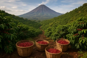
Colombia's Andean slopes have mild highland temperatures and regular rainfall that favor which major export crop?
Peru's coastal waters stay cold enough to support massive anchovy schools even at a fairly low, tropical-adjacent latitude. What process brings this cold, nutrient-rich water to the surface?
Quito is almost on the equator, yet it stays cool and spring-like in most months. What explains this climate pattern?
Lima lies near the tropics but is very dry, with frequent coastal fog and little rain. What is the main geographic cause?
Eastern Patagonia is much drier than coastal southern Chile at similar latitudes. What accounts for the difference?
The Amazon Basin is wet even though some nearby Pacific coastal areas at similar latitudes are dry. What best explains the Amazon's heavy rain?
Mexico City is much cooler than lowland Veracruz even though both are in the tropics. What geographic factor explains the difference?
On Caribbean islands, windward mountain slopes often get more rain than leeward slopes. What process causes that pattern?
US and Canada: Government, Economy and Development
30 questions
US and Canada: Issues and Current Challenges
25 questions
Latin America: Physical Geography and Landforms
30 questions
Latin America: Physical Features and Map Location
40 questions
Latin America: Countries, Capitals and Map Location
33 questions
Crack the passcode before the zombies get in.
Answer, then swat bugs for bonus points.
Race through questions at your own speed.
Same question on every screen. Fastest wins.

Pick a tile, answer, hit bonuses and steals.
Latin America: Population, Culture and Religion
30 questions