Loading
by BlastRoom
The environmental, economic and human-environment challenges facing US and Canada.
#us_hs_world_geography
25 questions
One question set, multiple game modes. Tap any game to see it in action. Not sure which to pick?
Answer to place stones and capture territory.
Outrun the snow together.
Earn blasts, then hunt the other team.
Answer to earn energy, then climb.

The class blasts through walls together.
Bid on mystery lots. Most money wins.
Sell tours. Nice, standard, or a total scam.

Answer, restock, and serve the rush.
More correct answers pulls the rope your way.
Answer, then shoot down the alien wave.
Answer, then tap to leap the frozen ridge.
At Alberta's oil-sands mines near Fort McMurray, operators strip boreal forest and store waste slurry in large tailings ponds. Outside the mine footprint, what downstream consequence is the main risk?
On British Columbia's Coast Mountains, clear-cut slopes above salmon streams have fewer roots holding soil. After intense rain, what is the most direct watershed effect?
On Houston's coastal plain, subdivisions and highways replace prairie and wetlands with pavement while heavy rainstorms still arrive from the Gulf. What hydrologic result is most direct?
In California's Central Valley, farms and towns pump groundwater during drought when surface water is limited. If deep sediments compact as water is removed, what hazard follows?
South of New Orleans, levees keep the Mississippi River in its channel, so less sediment spreads across the delta plain. What coastal effect follows?
In the Chicago area, winter crews spread large amounts of road salt, and meltwater drains into streams that feed Lake Michigan. What water-quality consequence is most direct?
In Nunavut communities, roads and buildings rest on ice-rich permafrost while warmer summers lengthen the thaw season. What infrastructure problem follows most directly?
Lake Erie and Lake Ontario form part of a connected freshwater system used by cities in New York, Ontario, Ohio, and Quebec. Why do water-quality rules need joint management?
Emissions from coal-burning areas in the Ohio Valley have been detected as acid deposition in Ontario and Quebec forests and lakes. What makes this a cross-border issue?
Reservoirs on the upper Columbia River in British Columbia store spring runoff before the river reaches Washington and Oregon. Why is the river managed by both countries?
Chinook salmon spawned in rivers of Washington and British Columbia migrate through the Pacific and are harvested in both countries' waters. Why is regulation shared?
During spring floods, the Red River of the North carries water from North Dakota and Minnesota toward Winnipeg, Manitoba. Why can flood planning not stop at the border?
Sea lamprey and zebra mussels spread through connected Great Lakes channels and ships that move between US and Canadian ports. Why does control require coordination?
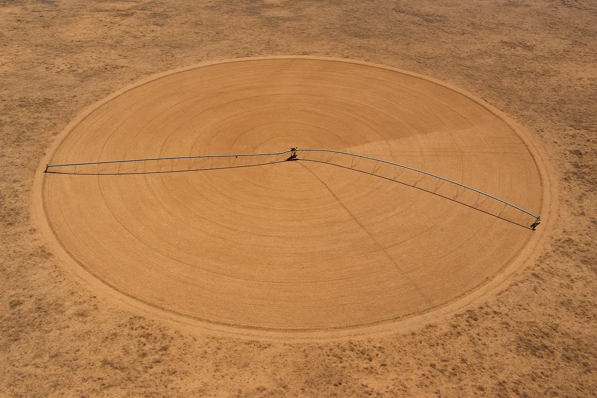
Across parts of Nebraska, Kansas, and Texas, irrigation pumps water from the Ogallala Aquifer faster than rainfall can replace it. What does this pressure threaten?
Lake Mead and Lake Powell have dropped during long drought while Phoenix, Las Vegas, farms, and hydropower dams depend on Colorado River water. What is threatened first?
On the Grand Banks off Newfoundland and Labrador, fishing effort once exceeded the recovery of cod stocks. What economic resource did that pressure endanger?
In northern Alberta and British Columbia, roads, seismic lines, and wells cut boreal forest into smaller patches. What does that economic footprint threaten?
Miami-Dade County keeps adding buildings and roads on low limestone ground while nuisance flooding and storm surge reach farther inland. What does this development pressure threaten?
In Ontario's Ring of Fire area, mineral demand encourages roads and mines across Hudson Bay Lowlands peatlands. What geographic resource is most directly at risk?
Miami Beach raises roads and installs pumps where sunny-day tidal flooding reaches streets. Name the trade-off in that response.
Near Sierra Nevada towns in California, managers use prescribed fire and thinning to reduce dense fuel around homes. Name the geographic trade-off.
Greater Toronto plans more housing near rail and subway stations instead of only building outward onto farmland. Name the urban geography trade-off.
Along Lake Michigan in Chicago, adding rock revetments or seawalls can protect roads and parks from wave erosion. Name the trade-off this shoreline response involves.
Alberta oil-sands facilities consider carbon capture on processing plants to reduce released CO₂ while production continues. Name the trade-off.
On the lower Snake River in Washington, proposals to remove some dams aim to help salmon migration but would change barging, irrigation access, and power supply. Name the trade-off.
US and Canada: Physical Features and Map Location
40 questions
US and Canada: US States, Canadian Provinces and Their Capitals
40 questions
US and Canada: Population, Culture and Religion
30 questions
US and Canada: Government, Economy and Development
30 questions
Latin America: Physical Geography and Landforms
30 questions
Crack the passcode before the zombies get in.
Answer, then swat bugs for bonus points.
Race through questions at your own speed.
Same question on every screen. Fastest wins.

Pick a tile, answer, hit bonuses and steals.