Loading
by BlastRoom
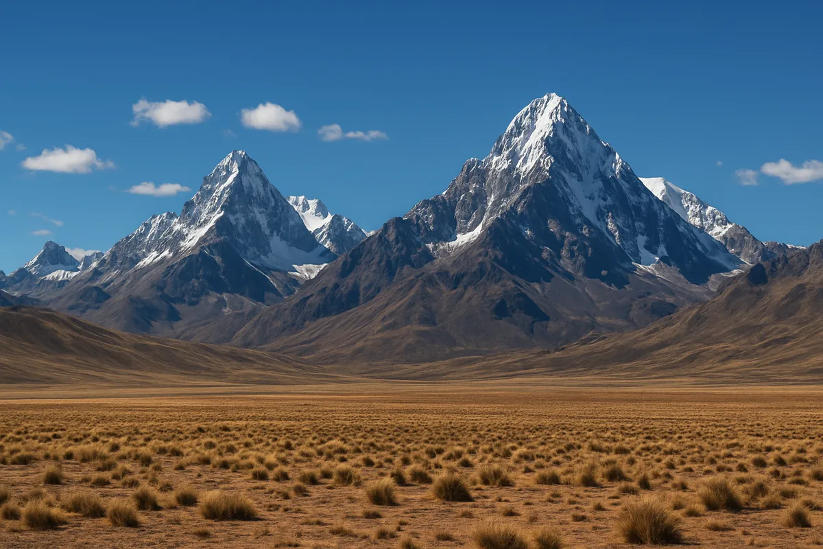
The mountains, plains, rivers, coasts and basins that shape Latin America.
#us_hs_world_geography
30 questions
One question set, multiple game modes. Tap any game to see it in action. Not sure which to pick?
Answer to place stones and capture territory.
Outrun the snow together.
Earn blasts, then hunt the other team.
Answer to earn energy, then climb.

The class blasts through walls together.
Bid on mystery lots. Most money wins.
Sell tours. Nice, standard, or a total scam.

Answer, restock, and serve the rush.
More correct answers pulls the rope your way.
Answer, then shoot down the alien wave.
Answer, then tap to leap the frozen ridge.
A chain of high mountains runs along the western edge of South America from Venezuela toward southern Chile. Which range is it?
Western Mexico has a major mountain range running roughly parallel to the Pacific coast and the Gulf of California. Which range is it?
A mountain range follows eastern Mexico near the Gulf of Mexico side of the country. Which range is it?
Southeastern Brazil has broad uplands with many dissected plateaus and older rounded hills. Which feature is this?
North of the Amazon Basin, ancient uplands extend across Venezuela, Guyana, Suriname, and northern Brazil. What are they called?
A high plateau lies between ranges of the Andes in Peru and Bolivia, around Lake Titicaca. Which landform is it?
A broad, fertile grassland plain spreads across eastern Argentina and Uruguay and supports major ranching and farming. Which plain is it?
Seasonally flooded tropical grasslands lie in the Orinoco River region of Venezuela and Colombia. Which plains are these?
Southern Argentina has a windswept plateau east of the Andes, with dry steppe conditions. Which region is it?
Which river gathers tributaries from Peru, Colombia, and Brazil and drains the world's largest river basin into the Atlantic Ocean?
A river rises in the Brazilian Highlands, flows through Paraguay and Argentina, and is part of the Río de la Plata system. Which river is it?
Which river drains the Llanos of Venezuela and Colombia and reaches the Atlantic through a wide delta in eastern Venezuela?
In Colombia, a major river runs north between Andean ranges and empties into the Caribbean Sea. Which river is it?
Which river flows through Brazil's semiarid northeast before reaching the Atlantic Ocean?
A river flowing south through the Pantanal wetlands joins the Paraná system near Argentina. Which river is it?
Argentina and Uruguay border a broad estuary where the Paraná and Uruguay rivers reach the Atlantic. Which feature is it?
The Andes include volcanoes and high peaks beside a deep ocean trench. What plate process best explains this mountain belt?
Volcanoes and earthquakes line much of Central America's Pacific side. What accounts for that pattern?
The Lesser Antilles form a curved chain of volcanic islands on the eastern Caribbean edge. What process built that arc?
Northern Chile's Atacama coast is extremely dry even beside the Pacific Ocean. Which factor helps explain that coastal desert?
East of the southern Andes, Patagonia is much drier than Chile's Pacific slopes. Which process explains this contrast?
In the Amazon lowlands, rivers shift channels and build wide floodplains. Which process creates many of these flat river features?
The Brazilian Highlands have rounded hills and dissected plateaus rather than sharp young peaks. Which process best explains much of this relief?
A long, narrow peninsula west of mainland Mexico separates the Pacific Ocean from the Gulf of California. Which feature is it?
A flat limestone peninsula divides the Gulf of Mexico from the Caribbean Sea and includes much of southeastern Mexico. Which feature is it?
A narrow land bridge connects North America and South America while separating the Caribbean Sea from the Pacific Ocean. Which feature is it?
Cuba, Hispaniola, Jamaica, and Puerto Rico are the larger islands of the northern Caribbean. Which island group are they part of?
From the Virgin Islands toward Grenada, small islands curve along the eastern Caribbean. Which feature names this chain?
At the southern tip of South America, islands lie beyond the Strait of Magellan. Which archipelago is this?
A volcanic island group in the Pacific lies west of Ecuador and is part of Latin America's physical geography. Which islands are they?

US and Canada: US States, Canadian Provinces and Their Capitals
40 questions
US and Canada: Population, Culture and Religion
30 questions
US and Canada: Government, Economy and Development
30 questions
US and Canada: Issues and Current Challenges
25 questions
Latin America: Physical Features and Map Location
40 questions
Crack the passcode before the zombies get in.
Answer, then swat bugs for bonus points.
Race through questions at your own speed.
Same question on every screen. Fastest wins.

Pick a tile, answer, hit bonuses and steals.