Loading
by BlastRoom
The environmental, economic and human-environment challenges facing Latin America.
#us_hs_world_geography
25 questions
One question set, multiple game modes. Tap any game to see it in action. Not sure which to pick?
Answer to place stones and capture territory.
Outrun the snow together.
Earn blasts, then hunt the other team.
Answer to earn energy, then climb.

The class blasts through walls together.
Bid on mystery lots. Most money wins.
Sell tours. Nice, standard, or a total scam.

Answer, restock, and serve the rush.
More correct answers pulls the rope your way.
Answer, then shoot down the alien wave.
Answer, then tap to leap the frozen ridge.
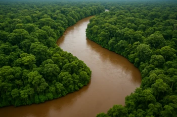
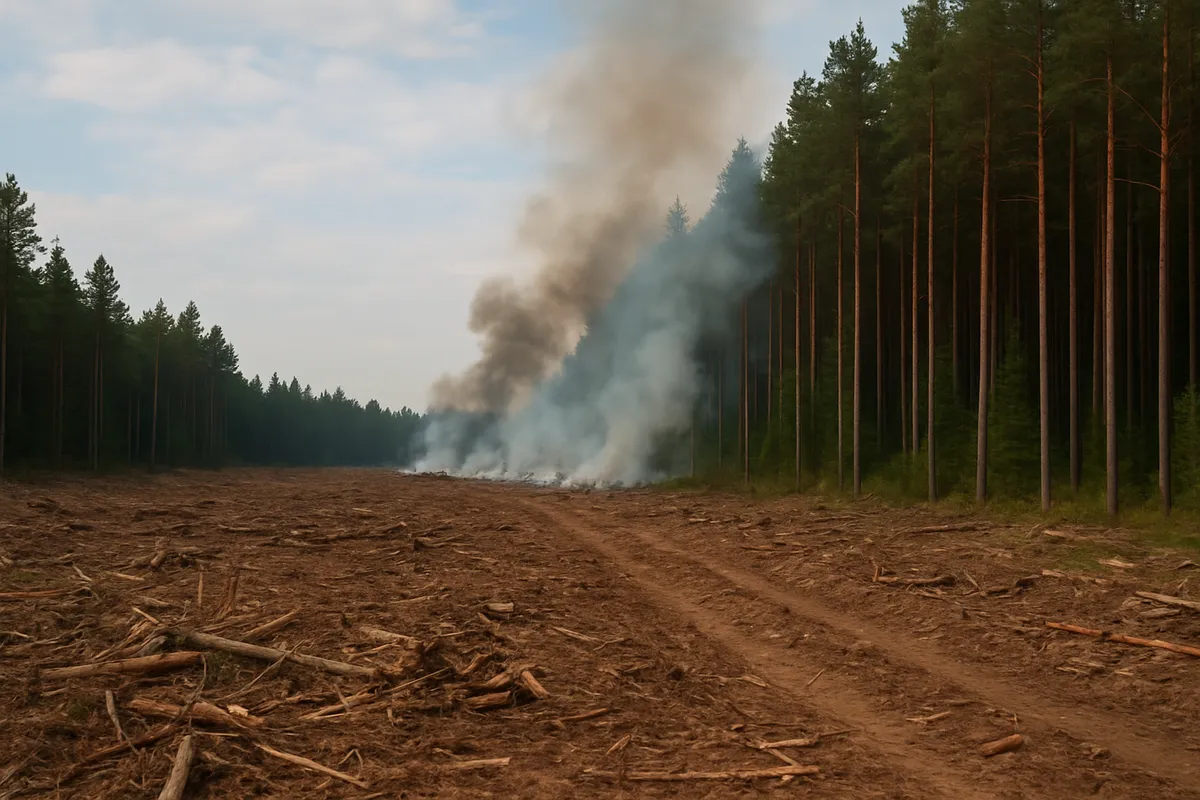
Along new highways in Brazil's Amazon, cattle pasture and soy fields replace forest in separated blocks. Beyond habitat loss at the clearing, what wider basin effect is most direct?
On steep slopes in Haiti's Artibonite watershed, trees are cut for fuelwood and small farms. After intense rain, what is the most direct downstream result?
Hotel and road construction in Quintana Roo, Mexico, replaces coastal mangroves beside the Caribbean. During storms, what protection is reduced first?
In Chile's Maipo Valley near Santiago, irrigated vineyards and orchards expand in a dry-summer climate while the city also draws water. What pressure increases most directly?
In the Gran Chaco of Paraguay and Argentina, woodland is cleared for cattle and soy. What land-cover change follows most directly outside the new fields?
Mexico City keeps expanding across its former lake basin while wells pump groundwater from soft sediments. What ground condition results in many neighborhoods?
In Peru's Andes, mine waste and tailings sit near headwater streams that supply farms and towns below. What downstream result is most direct when waste enters the water?
On the desert fringe of Lima, Peru, many recent migrants live in self-built hillside neighborhoods reached by water trucks and long bus trips. What condition does this urban pattern show?
In Rio de Janeiro, Brazil, dense self-built communities occupy steep slopes close to jobs while formal apartments are costly. What spatial pattern has rapid city growth produced?
As Mexico City's built-up area spreads into Estado de México, workers often cross municipal boundaries for jobs, adding traffic and air pollution. What process does this illustrate?
In São Paulo, Brazil, heavy rain falls on streets and roofs that cover former soils, so drains fill quickly. What problem does rapid urban growth make more likely?
In Port-au-Prince, Haiti, housing has spread onto steep hillsides and stream channels where land is available. When heavy rain comes, what exposure has rapid growth created?
Bogotá, Colombia, extended bus rapid transit and cable cars toward dense hillside districts that grew faster than road networks. What urban challenge is being addressed?
Venezuela earns a large share of export revenue from petroleum, so a drop in world oil prices cuts foreign exchange and public income. Which economic condition is described?
In El Salvador, many households receive money sent by relatives working abroad; if those jobs weaken, local spending falls. Which condition does this describe?
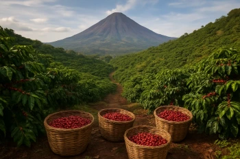
In Honduras, coffee-growing areas lose income when leaf rust spreads or world coffee prices fall. Which vulnerability does this describe?
Many workers in Peru's cities earn cash through street vending or day labor without contracts, benefits, or tax records. Which economic condition does this name?
Paraguay's soy and beef exports travel hundreds of miles by river barge before they can be loaded onto ocean ships. Which geographic condition raises its trade costs?
The Bahamas earns much of its foreign income from visitors; when global travel slows, jobs and tax revenue fall quickly. Which condition is being described?
Port-au-Prince, Haiti, lies near active faults, and many buildings are crowded on weak slopes or soft ground. Why can an earthquake cause such high losses there?
Chile's main ports and cities line the Pacific margin above the Nazca-South America subduction zone. Why can a great quake and tsunami be very costly there?
After Hurricane Maria, Puerto Rico's mountain roads and power lines were damaged, isolating inland towns from repair crews. What made the storm's effects last longer?
Villages and farms near Guatemala's Volcán de Fuego sit on fertile slopes below an active cone. Why can eruptions become deadly disasters there?
In Honduras, hurricanes can dump intense rain on deforested hills and low river valleys where many homes stand. Why does the hazard become more damaging?
During El Niño years, Peru's normally dry north coast can get extreme rain that washes out roads and homes in desert valleys. Why are losses high?
Crack the passcode before the zombies get in.
Answer, then swat bugs for bonus points.
Race through questions at your own speed.
Same question on every screen. Fastest wins.

Pick a tile, answer, hit bonuses and steals.
Europe: Physical Features and Map Location
40 questions