Loading
by BlastRoom
Trade routes, ports, goods and the reasons people moved across the Eastern Hemisphere through the 1300s, for the New York Grade 6 sequence.
#history#us_grade_6_social_studies
20 questions
One question set, multiple game modes. Tap any game to see it in action. Not sure which to pick?
Answer to place stones and capture territory.
Outrun the snow together.
Earn blasts, then hunt the other team.
Answer to earn energy, then climb.

The class blasts through walls together.
Bid on mystery lots. Most money wins.
Sell tours. Nice, standard, or a total scam.

Answer, restock, and serve the rush.
More correct answers pulls the rope your way.
Answer, then shoot down the alien wave.
Answer, then tap to leap the frozen ridge.
The Silk Roads were a web of overland routes crossing Central Asia rather than one single paved road. Goods moved along them for centuries. Which two ends of the Eastern Hemisphere did this network connect?
Most merchants on the Silk Roads traveled only one section of the route and sold their goods to the next trader along. What does that pattern help explain about the price of Chinese silk in a Mediterranean market?
Along overland routes in Central Asia and Southwest Asia, travelers stopped at buildings with a walled courtyard where a caravan could rest, water its animals and store goods overnight. What were these buildings called?
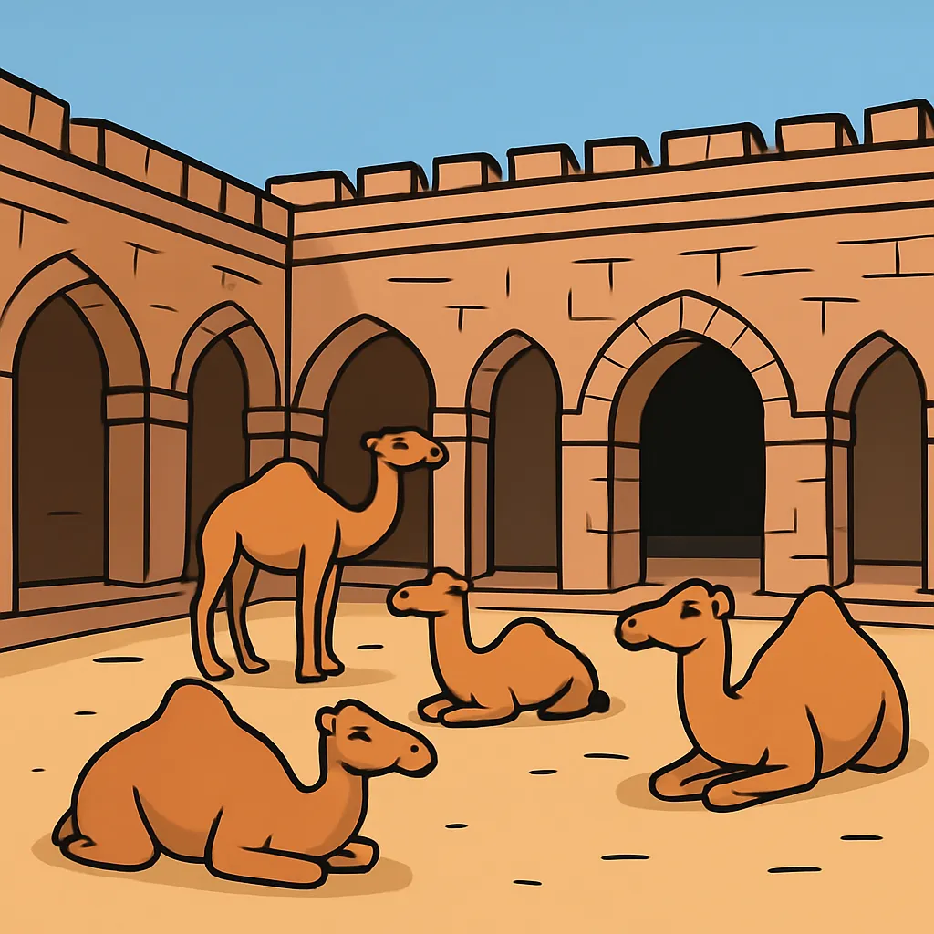
The Sahara is one of the world's largest deserts, and regular crossings became practical only after traders adopted an animal that carries heavy loads and can go for days without water. Which animal was it?

Trans-Saharan caravans linked the kingdoms of West Africa with salt mines in the desert and markets in North Africa. Which exchange did they carry in each direction?
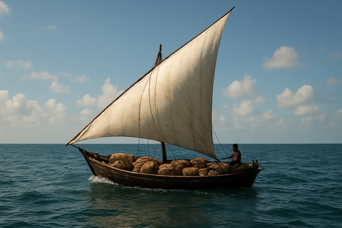
Merchant ships crossing the Indian Ocean relied on the monsoon winds. After a captain reached a distant port, what did he usually have to wait for before sailing home?

Along the East African coast, port towns such as Kilwa, Mombasa and Mogadishu grew wealthy between roughly 1000 and 1400 CE. What made these towns important?
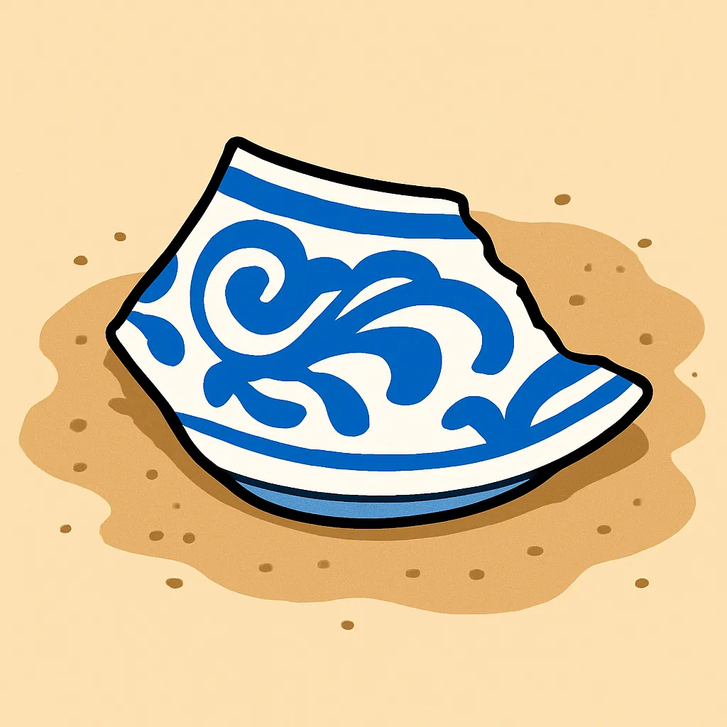
Archaeologists digging at East African coastal town sites have found broken Chinese porcelain and glass beads made in South Asia in layers dated before 1400 CE. What claim does this evidence best support?
Constantinople stood on a narrow strait where Europe meets Asia, between the Black Sea and the route to the Mediterranean. Why did that position make the city a major trading center?
Ships sailing between the Indian Ocean and the South China Sea passed through a narrow strait beside the island of Sumatra. What advantage did rulers who controlled that strait gain?
Along the Silk Roads, silk and porcelain traveled westward out of East Asia. Which goods commonly traveled the other way, from the Mediterranean and Southwest Asia toward China?
A family leaves a farming village after several years of drought and settles near a city where work is available. Which part of this situation is a push factor?
A weaver leaves a small inland village and moves to a busy port town after hearing that its markets pay high prices for cloth. Which part of this situation is a pull factor?
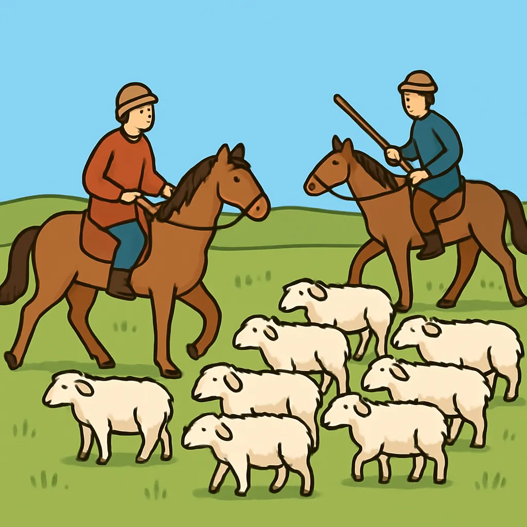
Herding families on the Central Asian steppe moved their animals to mountain pastures for part of each year and back to sheltered valleys for the rest. What kind of movement was this?
Beginning roughly three thousand years ago, Bantu-speaking farming peoples spread from West-Central Africa into eastern and southern Africa. Which description fits this movement?
Some of the people carried along the trans-Saharan and Indian Ocean trade routes were enslaved, then bought and sold in distant markets. What term describes their movement?
In the 1200s a single empire came to control much of the overland route across Central Asia, and travelers reported that crossing became safer for a time. Which empire was this?
Rulers in China had a long canal dug to link the Huang He and Yangtze river systems, and it was kept in use for centuries. What did this waterway make easier?
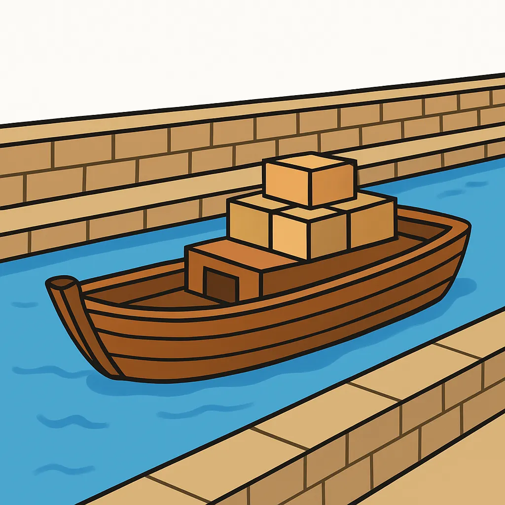
Merchants from one homeland often settled permanently in distant port cities, forming small communities that handled business with visiting ships from home. What is such a scattered community from one homeland called?
A thematic map titled Eastern Hemisphere Trade Routes before 1400 draws sea routes in blue and overland routes in brown, with no other symbols in its key. A student says the map proves silk was the most traded good. Why can the map not support that claim?
Crack the passcode before the zombies get in.
Answer, then swat bugs for bonus points.
Race through questions at your own speed.
Same question on every screen. Fastest wins.

Pick a tile, answer, hit bonuses and steals.
Paleolithic Hunter-Gatherers
20 questions