Loading
by BlastRoom
A tour of the world regions in the Texas Grade 6 sequence (TEKS 113.18) and the physical geography that defines each one.
#geography#us_grade_6_social_studies
40 questions
One question set, multiple game modes. Tap any game to see it in action. Not sure which to pick?
Answer to place stones and capture territory.
Outrun the snow together.
Earn blasts, then hunt the other team.
Answer to earn energy, then climb.

The class blasts through walls together.
Bid on mystery lots. Most money wins.
Sell tours. Nice, standard, or a total scam.

Answer, restock, and serve the rush.
More correct answers pulls the rope your way.
Answer, then shoot down the alien wave.
Answer, then tap to leap the frozen ridge.
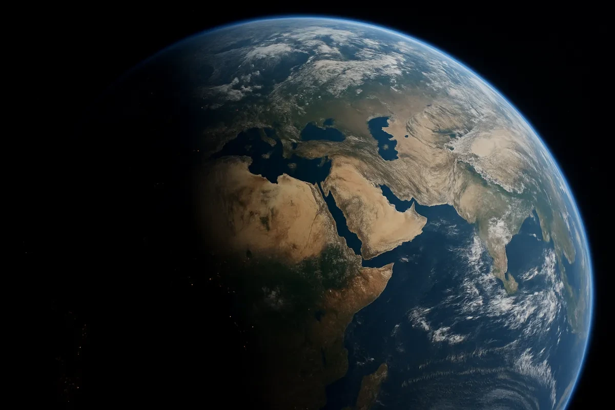
The Sahara Desert and the Arabian Peninsula are two of the driest places on Earth. Which world region includes both of them?
The Amazon River drains the largest tropical rainforest on Earth. Which world region contains that river and rainforest?
The Himalaya mountains form a high wall separating the Indian subcontinent from the rest of Asia. Which world region includes that subcontinent?
One long mountain range runs almost the whole length of the western edge of South America. What is that range called?
Geographers traditionally use one north-south mountain range inside Russia as the dividing line between Europe and Asia. What is that range called?
Siberia is a huge, thinly settled area of long freezing winters and dense evergreen forest. Which world region includes Siberia?
The Nile River flows northward across Egypt for hundreds of miles before reaching the coast. Which body of water does it empty into?
A narrow strip of land called an isthmus joins the North American mainland to South America. Which world region forms that land bridge?
Indonesia and the Philippines are each made up of thousands of islands. Which world region do these two island nations belong to?
The Great Barrier Reef is the largest coral reef system on Earth and lies off a northeastern coast. Which world region does it belong to?

One world region is made up almost entirely of thousands of small islands scattered across the world's largest ocean. What is that region called?
The Alps and the Danube River are among the best known landforms and waterways of one world region. Which region is it?
The Sahel is a dry belt of grassland and thorn scrub stretching across countries such as Mali, Niger and Chad. Which world region does the Sahel belong to?
A seasonal wind reverses direction each year and brings months of heavy summer rain to South Asia. What is this wind pattern called?
The Gobi is a cold, rocky desert spread across southern Mongolia and northern China. Which world region includes it?
Two great rivers cross China from west to east and have watered its farmland for thousands of years. What are they called?
The dry, thinly settled interior of Australia has its own well-known name. What is that inland area called?
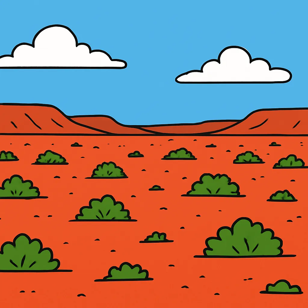
The Great Plains and the Mississippi River system together cover a large share of one world region. Which region is it?
Countries around the Persian Gulf hold some of the largest known reserves of one nonrenewable resource. Which resource is it?
Islands in the Caribbean sit in the path of powerful tropical storms that form over warm Atlantic water in late summer. What are these storms called?
The Great Rift Valley and Lake Victoria are major physical features of eastern Africa. Which world region are they part of?
One line of latitude is numbered zero degrees and circles Earth halfway between the poles, crossing South America, Africa and Southeast Asia. What is it called?
Lines of longitude are measured in degrees east and west from one starting line. What is that starting line called?
Geographers divide the world into regions to make it easier to study. What is a region?
Russia stretches so far from west to east that it lies on two continents. Which two continents does Russia span?
Central America and the Caribbean lie close to the equator, in the low latitudes. Which climate type is most widespread there?
The lower part of the Mekong River flows south through Laos, Cambodia and Vietnam to the sea. Which world region does that part of the river cross?
The Ganges River flows east across the plains of northern India and Bangladesh before reaching the sea. Which body of water does it empty into?
Western Europe has milder winters than most other places at the same latitude. What is the main reason for that difference?
Australia is the only world region that is a single country and an entire continent at the same time.
The Sahara Desert forms the physical divide between North Africa and Sub-Saharan Africa.
The equator passes through the southern part of Europe.
Which of the countries Kazakhstan, Poland, Mongolia, and Turkey belongs to the region called Russia and the Eurasian republics?
Which landform is shown in the picture?
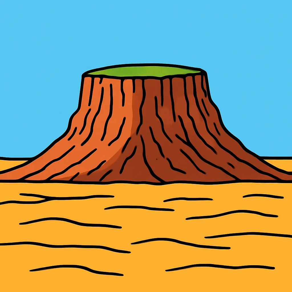
Where the Nile reaches the sea it drops its sediment and spreads into a wide, fertile triangle of channels. What is that landform called?
A population density map of Australia shades the eastern and southeastern coasts dark and leaves the interior almost blank. What does that pattern suggest?
A climate map of Africa shows a wide desert band across the north, then a belt of savanna, then tropical rainforest near the equator. What does this pattern show?
A physical map of a region shows its landforms and elevation. What does a political map of the same region show instead?
The equator divides Earth into two halves. What are those two halves called?
Central America and the Caribbean are studied as one region, but their landforms differ. How is the Caribbean part different from Central America?
Crack the passcode before the zombies get in.
Answer, then swat bugs for bonus points.
Race through questions at your own speed.
Same question on every screen. Fastest wins.

Pick a tile, answer, hit bonuses and steals.
Individuals, Groups, and Turning Points in History
20 questions