Loading
by BlastRoom
Texas Grade 6 world geography practice: use geographic tools and read described population and resource maps to explain settlement patterns.
#geography#us_grade_6_social_studies
20 questions
One question set, multiple game modes. Tap any game to see it in action. Not sure which to pick?
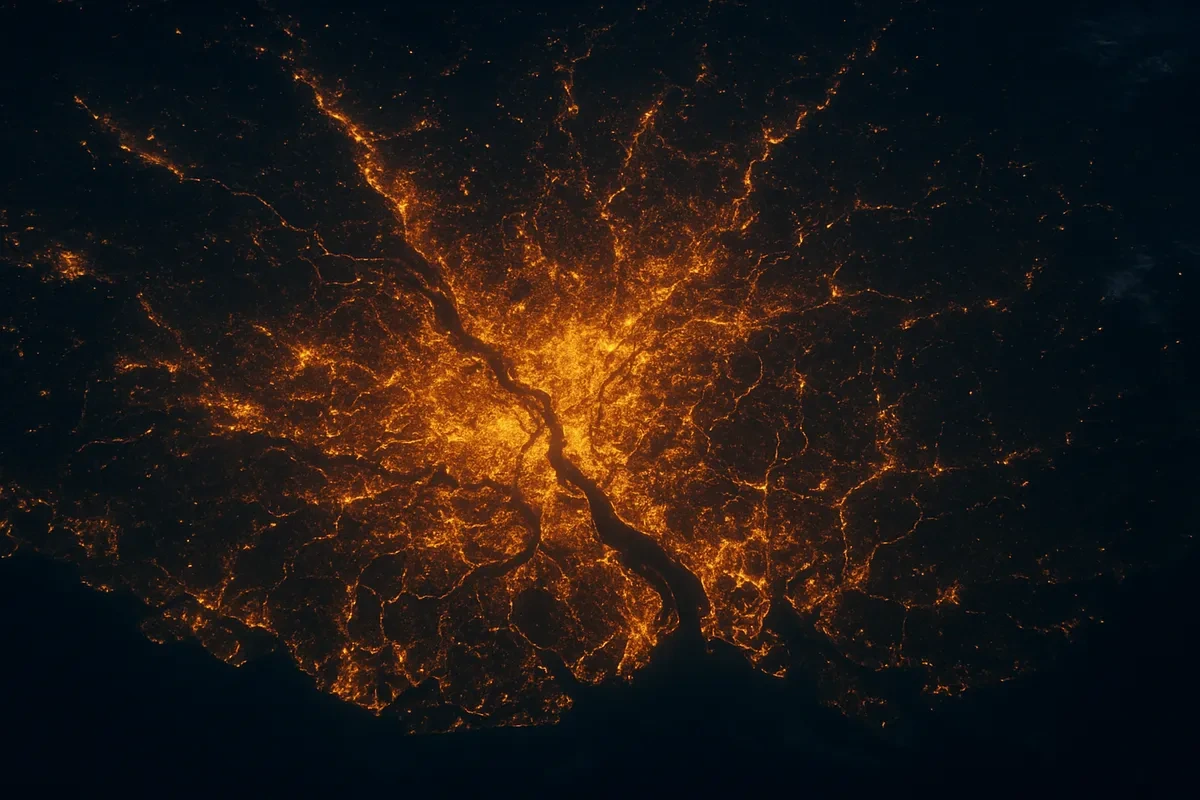
A population density map of Egypt shades a narrow strip along the Nile River and its delta in dark colors, while the deserts on both sides are left almost blank. What best explains this settlement pattern?
A geographer needs a map that shows a region's mountains, plateaus, river basins, and elevation using shaded relief and color bands for height. Which kind of map is that?
A geographer measures the gap between two cities on a regional map of Southeast Asia with a ruler and needs to turn that measurement into kilometers on the ground. Which part of the map provides that conversion?
A regional map uses a scale in which 1 centimeter stands for 50 kilometers. Two cities are 6 centimeters apart on the map. What is the actual distance between them?
A grid on a world map locates a city at 34 degrees south latitude and 151 degrees east longitude. In which two hemispheres does that city lie?
A planner wants a map that marks where a region's petroleum fields, iron ore deposits, and timber stands are found. Which geographic tool gives that information?
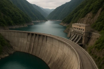
A country builds a large dam across a major river to store water and generate electricity. Name one direct consequence of this human modification of the environment.
A population distribution map of Australia shows dense shading in a ring around the eastern and southern coasts and almost empty shading across the interior. What physical cause best explains the empty interior?
In one river valley, farm houses follow the riverbank one property deep, each family's fields reaching back from the water, for many kilometers along the river. What is this settlement pattern called?
A thematic map divides a continent into zones based on long-term average temperature and precipitation, shading tropical, arid, and temperate zones in different colors. What kind of map is it?
A rainfall map of West Africa shades the southern coast as heavy rainfall and the far north as very dry. A population density map of the same area shades the south dark and the far north pale. What does comparing the two maps suggest?
On a world grid, one line is labeled 0 degrees longitude and separates the Eastern Hemisphere from the Western Hemisphere. What is that line called?
Over several decades, a growing share of a country's people move from farms and villages into cities, and the cities spread outward. What is this process called?
The Tibetan Plateau in Asia sits more than 4,000 meters above sea level. A population map shades it very pale. Why is settlement so sparse there?
On a population density map, the darkest shading marks the areas where the fewest people live.
A long drought ruins the harvest in a farming region, and many families leave to look for work elsewhere. In the study of migration, what is the drought an example of?
Farmers on a steep hillside cut a series of flat, stepped fields into the slope and plant crops on them. What is the main purpose of this human modification?
A class needs the most accurate picture of the true shapes and relative sizes of the continents and oceans. Which geographic tool should they use?
A geographer studying farming in Southeast Asia wants far more detail than a world map can show, including small rivers, towns, and roads within that one area. What kind of map fits that need?
On a population density map, a district shaded in the legend band for 200 to 500 people per square kilometer holds more people in each square kilometer than a district shaded in the band for 10 to 50 people per square kilometer.
Crack the passcode before the zombies get in.

Pick a tile, answer, hit bonuses and steals.
Limited and Unlimited Government
20 questions