Loading
by BlastRoom
Reason from latitude, altitude, continental position, prevailing winds and ocean currents acting together to explain a region's climate.
#circulation_and_climate#us_grade_6_science
20 questions
One question set, multiple game modes. Tap any game to see it in action. Not sure which to pick?
Two cities lie at 40 degrees north. Coastal city A averages 6 degrees Celsius in January and 17 in July. City B, 800 kilometers inland, averages minus 6 in January and 24 in July. What best explains B's larger range?

Two towns sit at 1 degree south. Town X, at sea level, averages 26 degrees Celsius all year. Town Y, 2,800 meters above sea level, averages 14. What explains the difference?

The Coriolis effect bends huge wind bands and ocean currents, but it is far too weak to control which way water turns as it drains from a bathroom sink.
A large air mass drifts north away from the equator through the Northern Hemisphere. Because Earth rotates, what happens to the path the air follows?
Prevailing westerlies carry ocean air onto a mountain range's western slope, which receives 2,000 millimeters of rain a year. The valley just east of the range receives 250. What explains this?
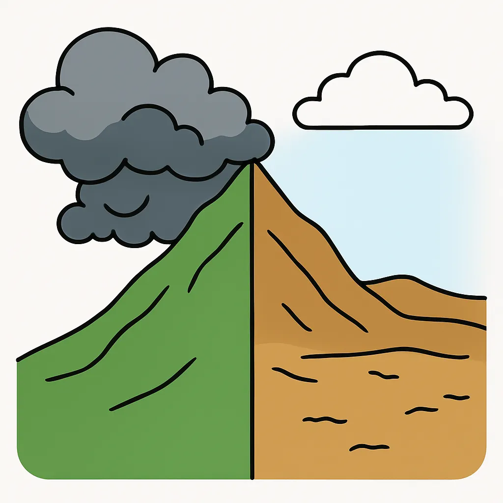
Two ports both sit at 55 degrees north. A warm ocean current and onshore westerlies reach the European port, which averages 4 degrees Celsius in January. The Canadian port averages minus 12. Why?
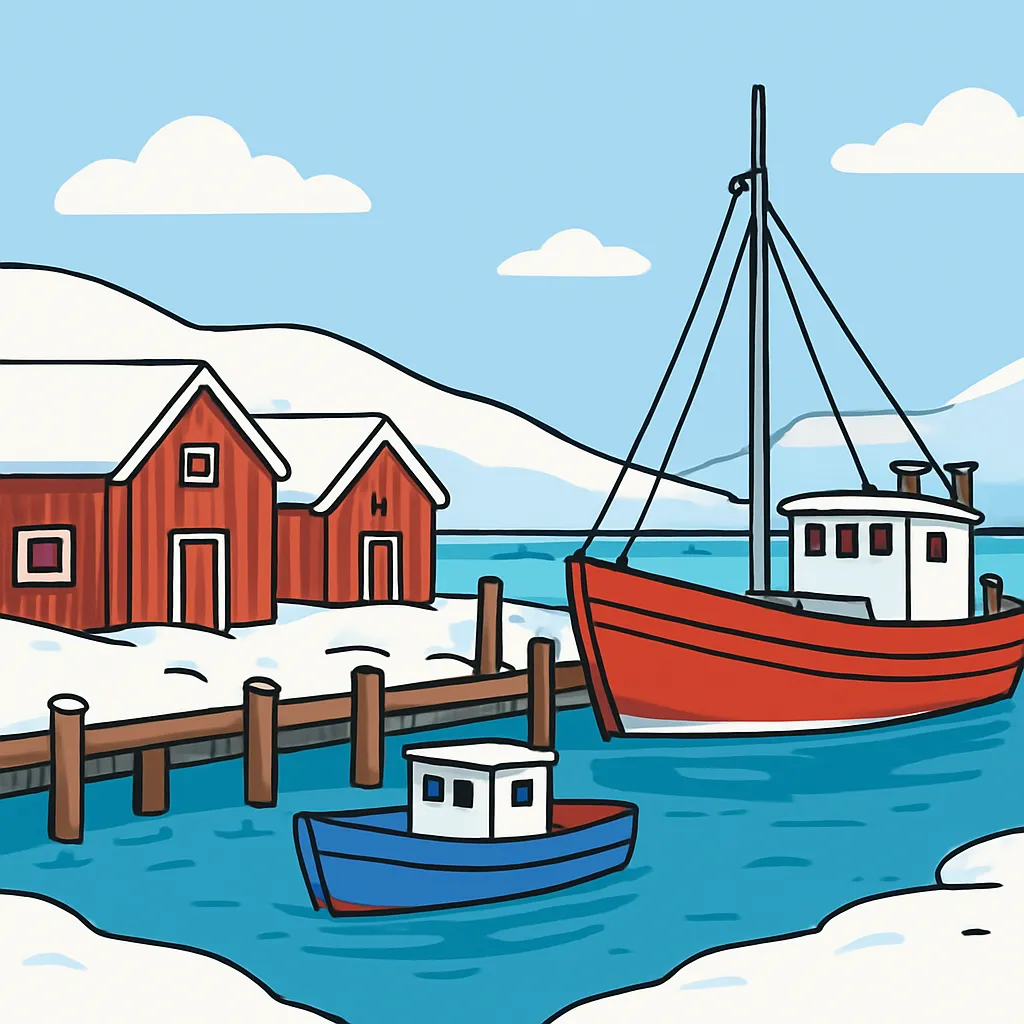
A coast at 15 degrees south sits beside the ocean yet is a desert, averaging 18 degrees Celsius with almost no rain. A cold ocean current flows along it. How does that current help explain the dryness?
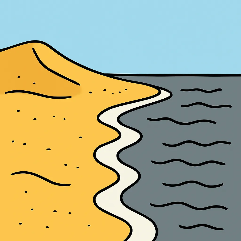
January and July means: a coastal city, 8 and 18 degrees Celsius; a city 300 kilometers inland, 3 and 22; a city 900 kilometers inland, minus 5 and 26. What pattern do these data show?
Sunlight strikes the equator almost straight on but reaches 60 degrees north at a low, slanting angle. Why does the ground at 60 degrees north warm less?
Four towns report July means. Which town would you expect to be coldest: one at 10 degrees north at sea level, one at 10 degrees north at 3,500 meters, one at 45 degrees north at sea level, or one at 45 degrees north at 500 meters?
In the middle latitudes, the prevailing winds called the westerlies blow from the west toward the east.
A warm current runs north along a continent's east coast, then turns east across the ocean and reaches a west coast at 50 degrees north. What effect on that west coast is most likely?
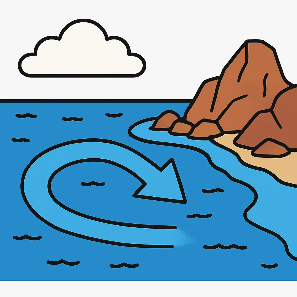
A student claims that City P's mild winters come from its altitude. Records show P sits at sea level, at 40 degrees north, on a west coast with onshore winds. Which record weakens the claim most?
Three stations sit on one mountain slope at the same latitude. At 200 meters the mean is 21 degrees Celsius; at 1,200 meters, 15; at 2,200 meters, 9. What mean would you predict at 1,700 meters?

A coast at 20 degrees north lies on the eastern side of a continent, where prevailing winds arrive from the east after crossing a warm ocean. What climate should that coast have?
In the Southern Hemisphere, which way does Earth's rotation bend the path of large-scale winds and ocean currents?
Earth's rotation bends moving surface water to the right in the Northern Hemisphere. Which way should the large loop of surface currents in the North Atlantic turn?

Two towns share a latitude and both sit 50 kilometers from the same coast, yet one averages 10 degrees Celsius cooler all year. The cooler town sits 1,500 meters higher. Which factor explains the gap?
Near Greenland, surface ocean water becomes very cold and salty. Why does this water sink and flow along the deep ocean floor toward the equator?
At 50 degrees north, a west-coast city has rainy, mild winters while an east-coast city on the same continent has cold winters and stormy summers. Which factor best explains the contrast?
Crack the passcode before the zombies get in.

Pick a tile, answer, hit bonuses and steals.

Climate Change Evidence
20 questions