Loading
by BlastRoom
How compasses, astrolabes, caravels, and wind knowledge made transatlantic voyages possible.
#history#us_grade_5_social_studies
40 questions
One question set, multiple game modes. Tap any game to see it in action. Not sure which to pick?
Answer to place stones and capture territory.
Outrun the snow together.
Earn blasts, then hunt the other team.
Answer to earn energy, then climb.

The class blasts through walls together.
Bid on mystery lots. Most money wins.
Sell tours. Nice, standard, or a total scam.

Answer, restock, and serve the rush.
More correct answers pulls the rope your way.
Answer, then shoot down the alien wave.
Answer, then tap to leap the frozen ridge.
A ship's crew sails for three days under thick clouds, with no sun or stars in sight. Which instrument still tells them which direction the ship is heading?
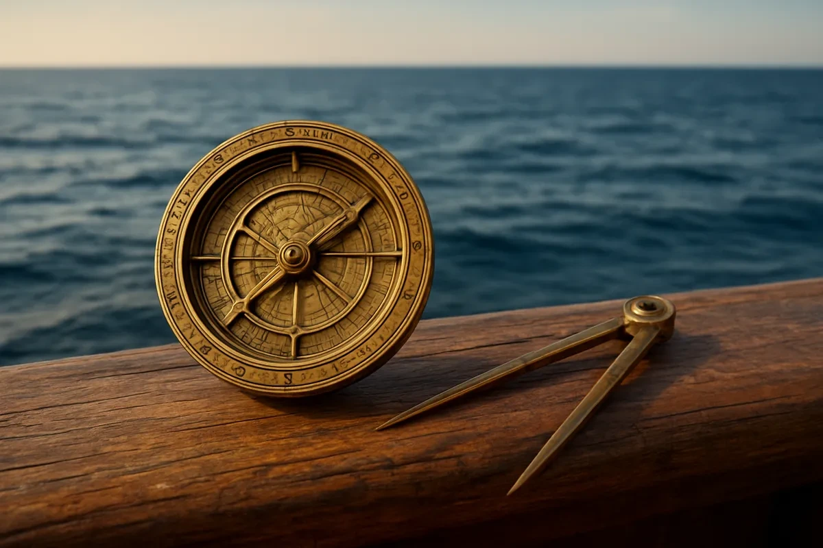
At noon a navigator holds up a mariner's astrolabe and measures how high the sun sits above the horizon. What is he trying to find out?
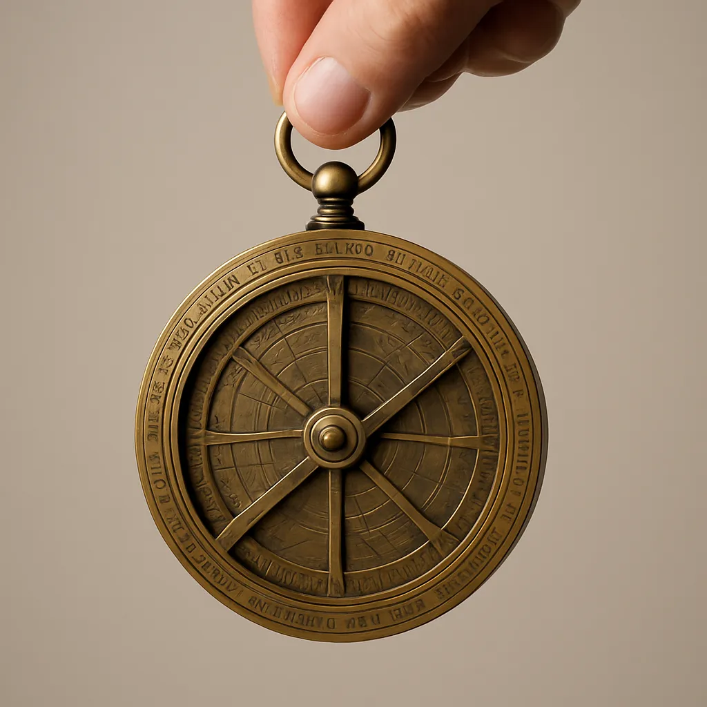
Navigators in the 1400s could work out their latitude with an astrolabe. Which other measurement stayed out of reach at sea for hundreds of years?
A caravel carried triangular lateen sails as well as square sails. What could its crew do that a crew with square sails alone could not?
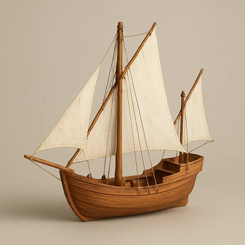
Portuguese captains chose caravels for mapping unknown coastlines. Because a caravel had a narrow hull that sat high in the water, what could it safely do?
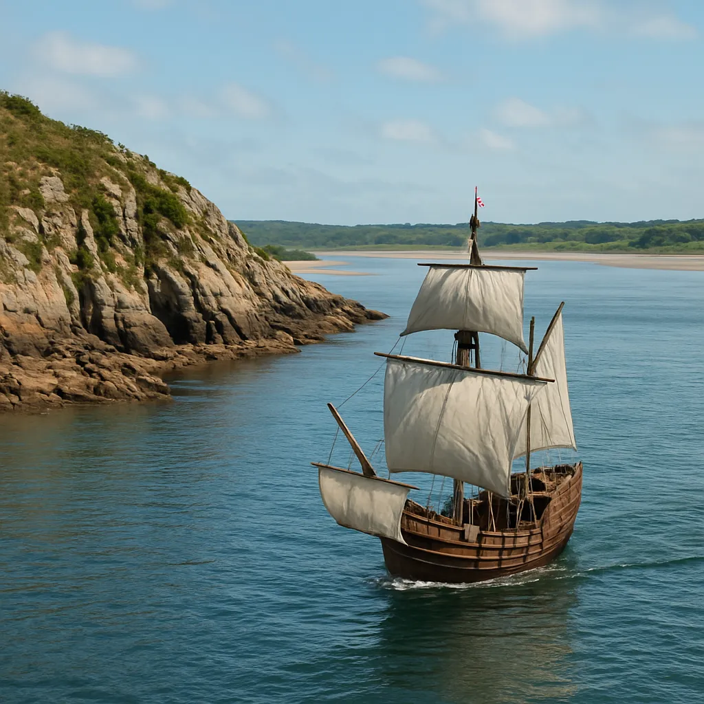
In 1492 Columbus first sailed south to the Canary Islands before turning west across the Atlantic. What did that southern leg let his ships pick up?
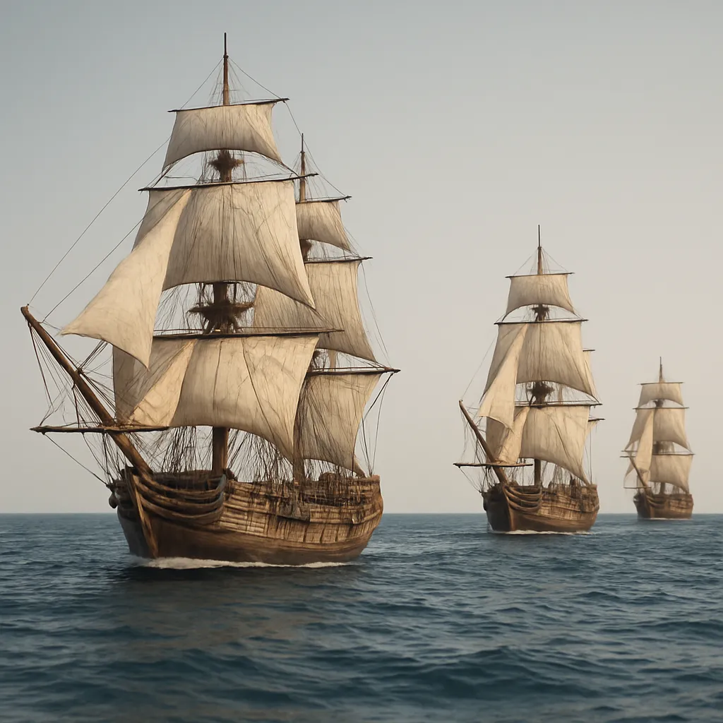
Returning from the Caribbean, Columbus did not steer straight back east into the trade winds. He first sailed north. What was the reason?
As a caravel approaches an unfamiliar coast, a sailor lowers a weighted rope over the side again and again and hauls it back up. What is he measuring?
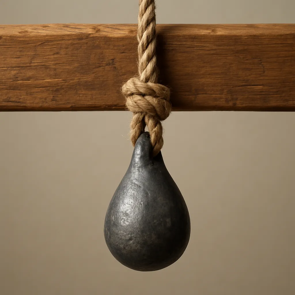
On deck, a ship's boy turns a sandglass over the moment its sand runs out, hour after hour, day and night. What is the sandglass giving the navigator?
Far from any land, a navigator combines his compass heading, the hours counted on the sandglass, and his estimate of the ship's speed to work out where he is. This method is called ___.
North of the equator, sailors found latitude by measuring how high the North Star stood above the horizon. What happened to that method once ships crossed south of the equator?
A pilot working his way along a coast he has sailed before consults a portolan chart, which is covered with lines radiating from compass roses. What does that chart give him?
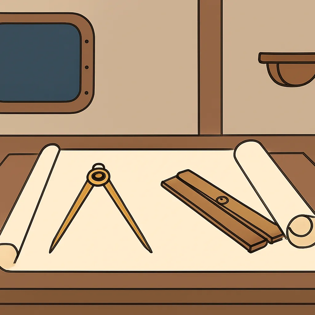
Older Mediterranean ships were steered by large oars hung over the side. What replaced those oars on ocean-going ships and gave far better control in heavy Atlantic waves?
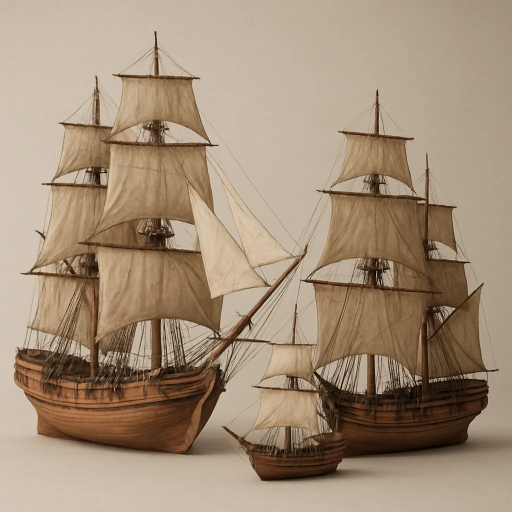
Columbus's 1492 fleet had two caravels, the Nina and the Pinta, plus the larger and slower Santa Maria. What did bringing the larger ship give the expedition?
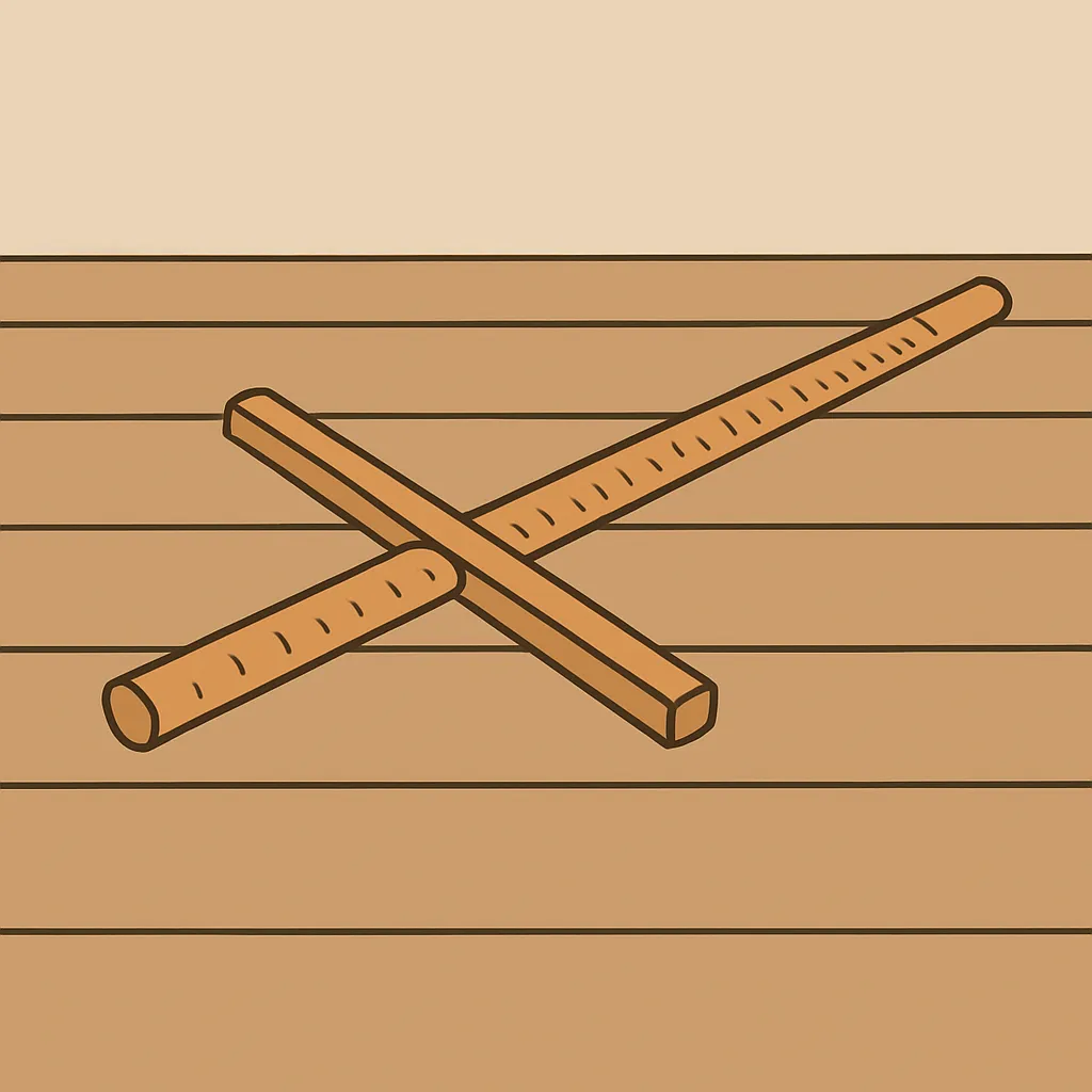
Some navigators used a wooden cross-staff rather than a brass astrolabe. Both instruments were built to answer the same question. What question was that?
Magellan's fleet left Spain in 1519 and in 1520 found a passage through the southern tip of South America. What did reaching that strait show was possible?
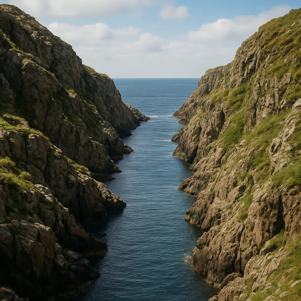
Ferdinand Magellan was killed in the Philippines in 1521, and his surviving crew completed the first voyage around the world without him.
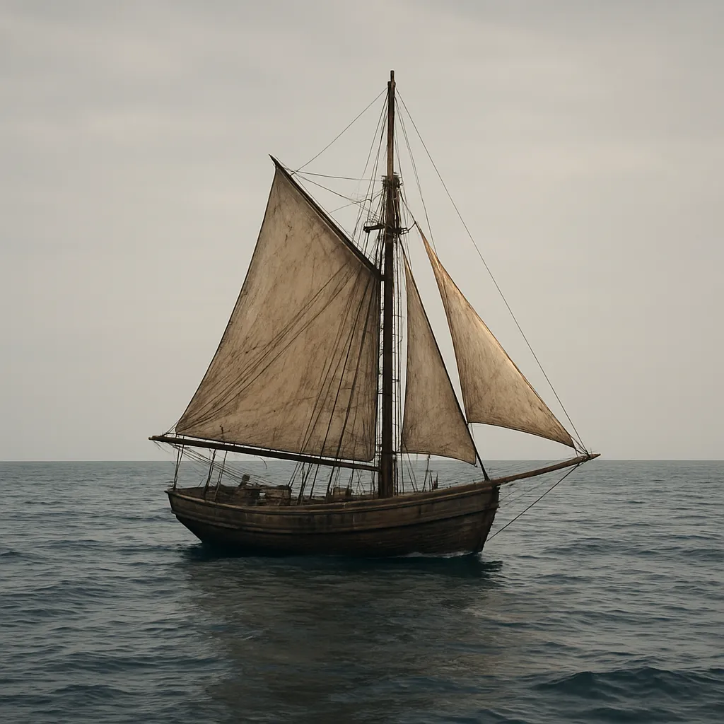
Spanish and Portuguese rulers had several reasons for sending fleets overseas. Which reason explains why friars and priests sailed with many of those fleets?
European sailors in the 1400s steered by the magnetic compass. In which country was the compass first used to guide ships?
What does a map scale help a reader understand?
True or False: Lines of latitude run east and west and measure distance north or south of the Equator.
Which imaginary line is located at 0 degrees latitude?
Which imaginary line is located at 0 degrees longitude?
What is longitude used to measure?
Sailors measured their ship's speed by tossing a floating wooden board tied to a knotted rope off the back of the ship. What was this tool called?
Before modern GPS existed, how did sailors often find their way at sea?
What was the main purpose of a ship's logbook during a voyage?
Which invention made it easier for explorers and sailors to get copies of maps and navigation books?
What is a cartographer?
Sailors sometimes pressed a lump of sticky tallow into the bottom of a sounding line's weight before lowering it. What did that let them learn?
Which tool uses satellites to help people find their exact location today?
Without a way to find longitude, many captains sailed north or south until they reached the latitude of their destination. What did they do next?
What problem did accurate marine chronometers help sailors solve?
True or False: A compass tells a sailor exactly how far the ship has traveled.
A navigator using dead reckoning often found that his ship was miles from where he had marked it on the chart. What was the most common reason?
Before the magnetic compass, many sailors stayed close to the coast where they could see landmarks. What did the compass make possible?
Which feature on a map explains the meaning of symbols and colors?
True or False: Because Earth is round, all flat world maps have some distortion.
Portolan charts were drawn from what sailors had seen on their own voyages. Which part of the map did they show in the most detail?
Which statement best explains how navigation technology affected history?

Indigenous Nations and Culture Regions of North America
40 questions
How Environment Shaped Indigenous Ways of Life
40 questions
Early Peopling of the Americas: Migration and Archaeological Evidence
40 questions
Motives, Powers, and Explorers of the Age of Exploration
40 questions
Consequences of Contact: Multiple Accounts
20 questions
Crack the passcode before the zombies get in.
Answer, then swat bugs for bonus points.
Race through questions at your own speed.
Same question on every screen. Fastest wins.

Pick a tile, answer, hit bonuses and steals.