Loading
by BlastRoom
Political, physical, thematic and road maps, and which question each one answers.
#us_hs_world_geography
30 questions
One question set, multiple game modes. Tap any game to see it in action. Not sure which to pick?
Answer to place stones and capture territory.
Outrun the snow together.
Earn blasts, then hunt the other team.
Answer to earn energy, then climb.

The class blasts through walls together.
Bid on mystery lots. Most money wins.
Sell tours. Nice, standard, or a total scam.

Answer, restock, and serve the rush.
More correct answers pulls the rope your way.
Answer, then shoot down the alien wave.
Answer, then tap to leap the frozen ridge.
A hiker wants to know how steeply the land rises from a valley floor to a ridge. Which map best answers that question?
A city planner wants to compare population density from one county to the next. Which map should she use?
A family is driving across a state and needs route numbers, interchanges, and exits. Which map answers that need?
A student wants to identify the countries that border Spain. Which map is most useful?
A geographer wants to compare average annual rainfall across several states. Which map should he choose?
A kayaker wants to see rivers, lakes, and nearby mountain relief before planning a trip. Which map fits that task?
A trucking company must choose a highway route from a port to a warehouse. Which map should it use?
A student needs to find the capital cities and national boundaries of Southeast Asian countries. Which map should she open?
A health agency wants to show where malaria risk is high, medium, or low across a region. Which map type answers that question?
A visitor wants to locate a museum by street names and estimate the driving distance across town using a scale. Which map works best?
What type of map is shown?
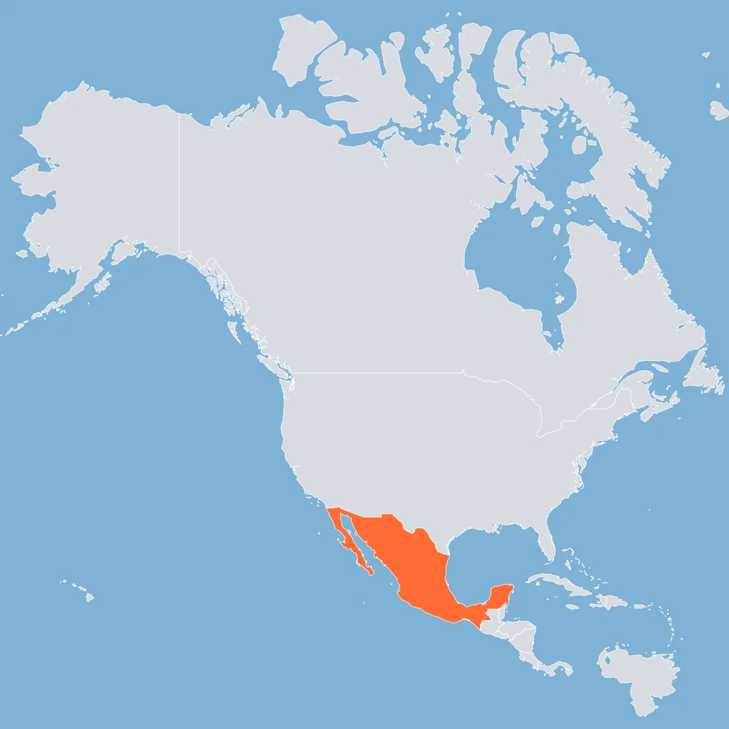
What kind of map is shown in the figure?
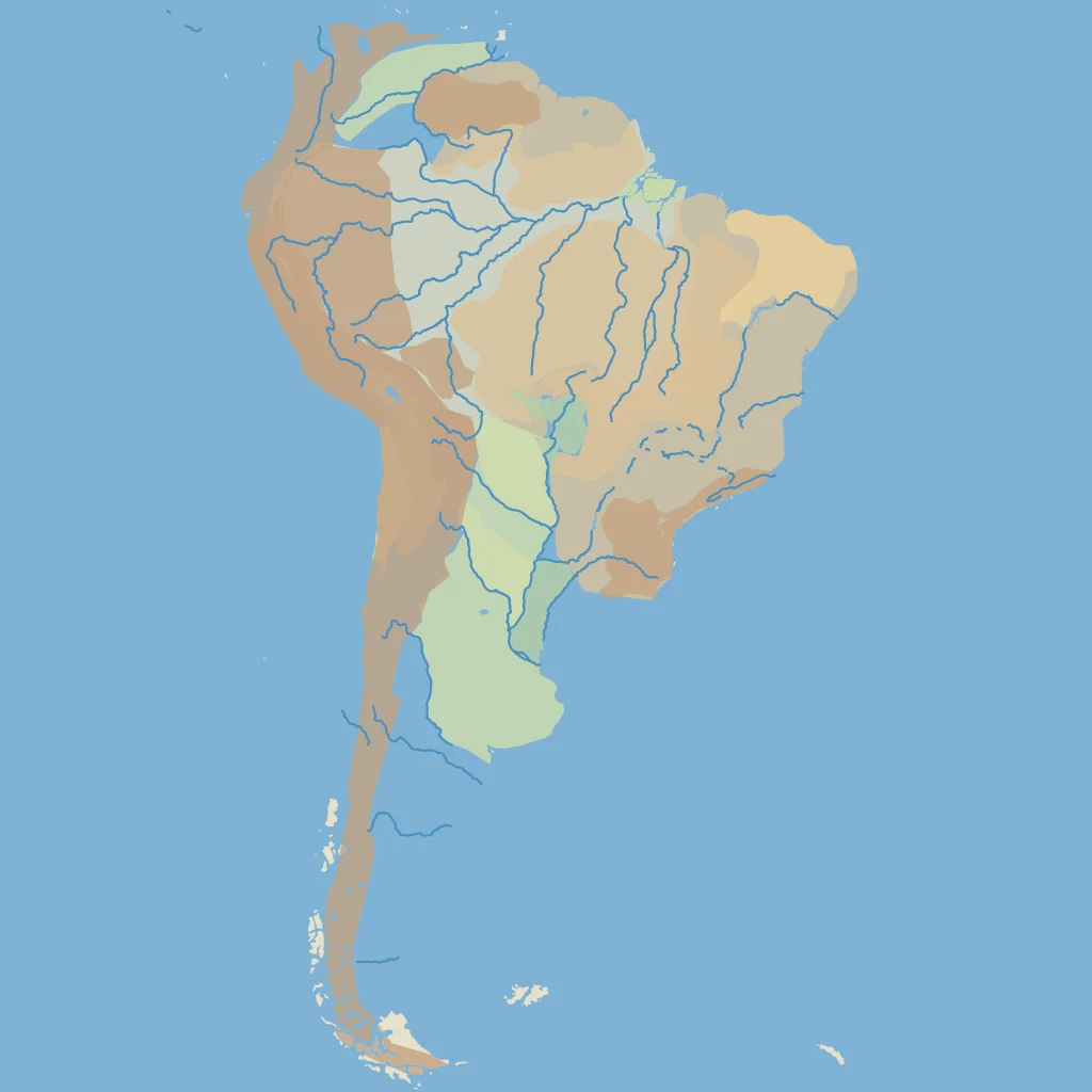
Read the title and the shading. What kind of map is it?
The figure shows only the outline shape of one country. Which type of map information does that outline come from?
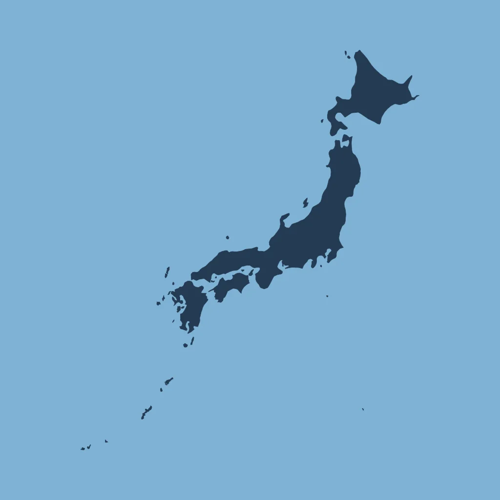
What type of map is this figure?
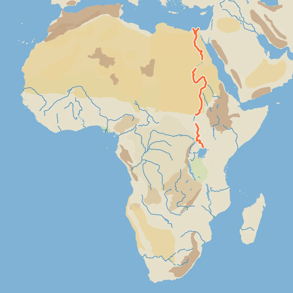
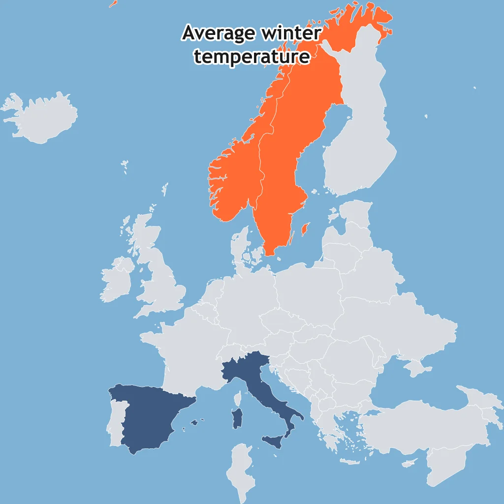
The map is titled with one topic. Which map type is shown?
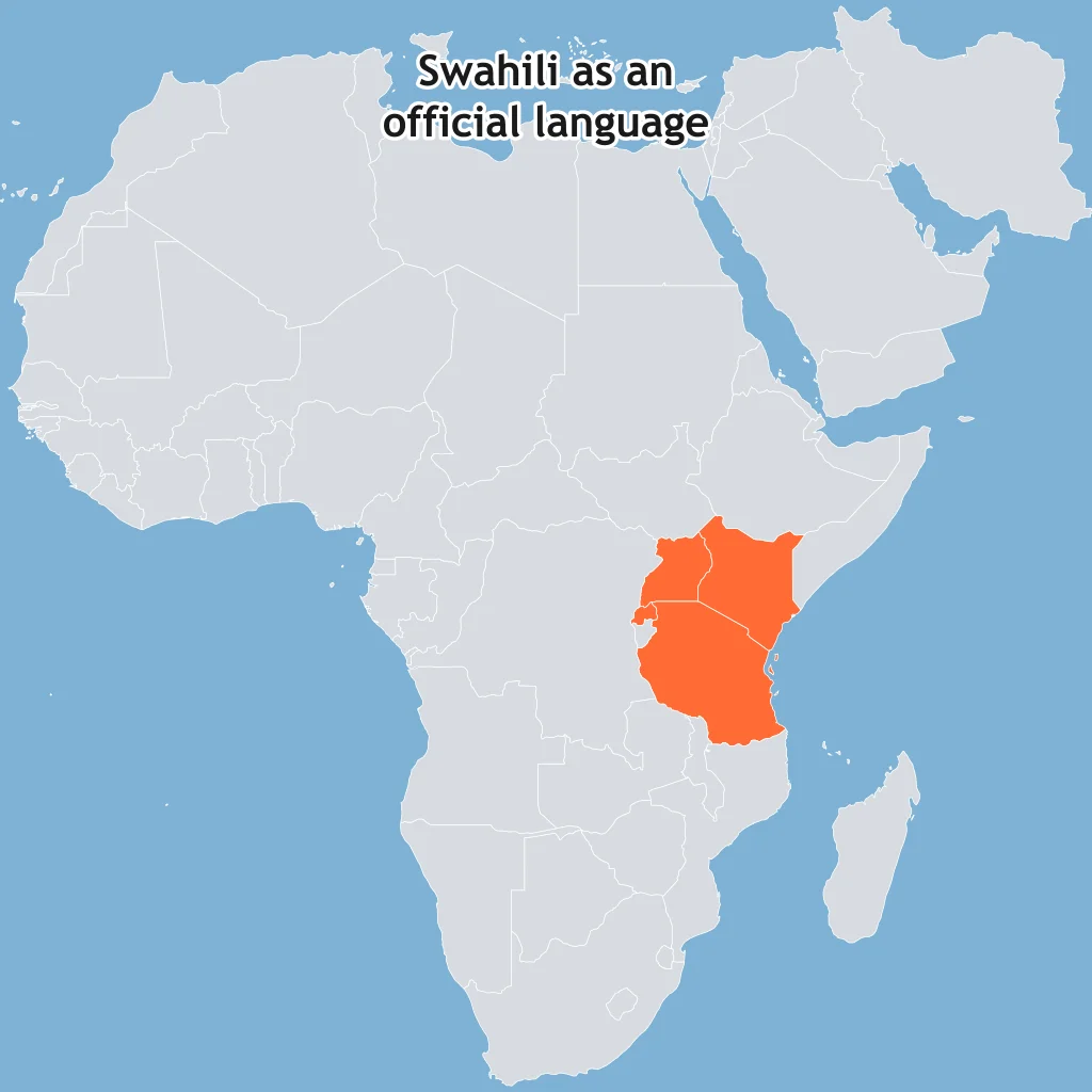
Which type of map is the figure?
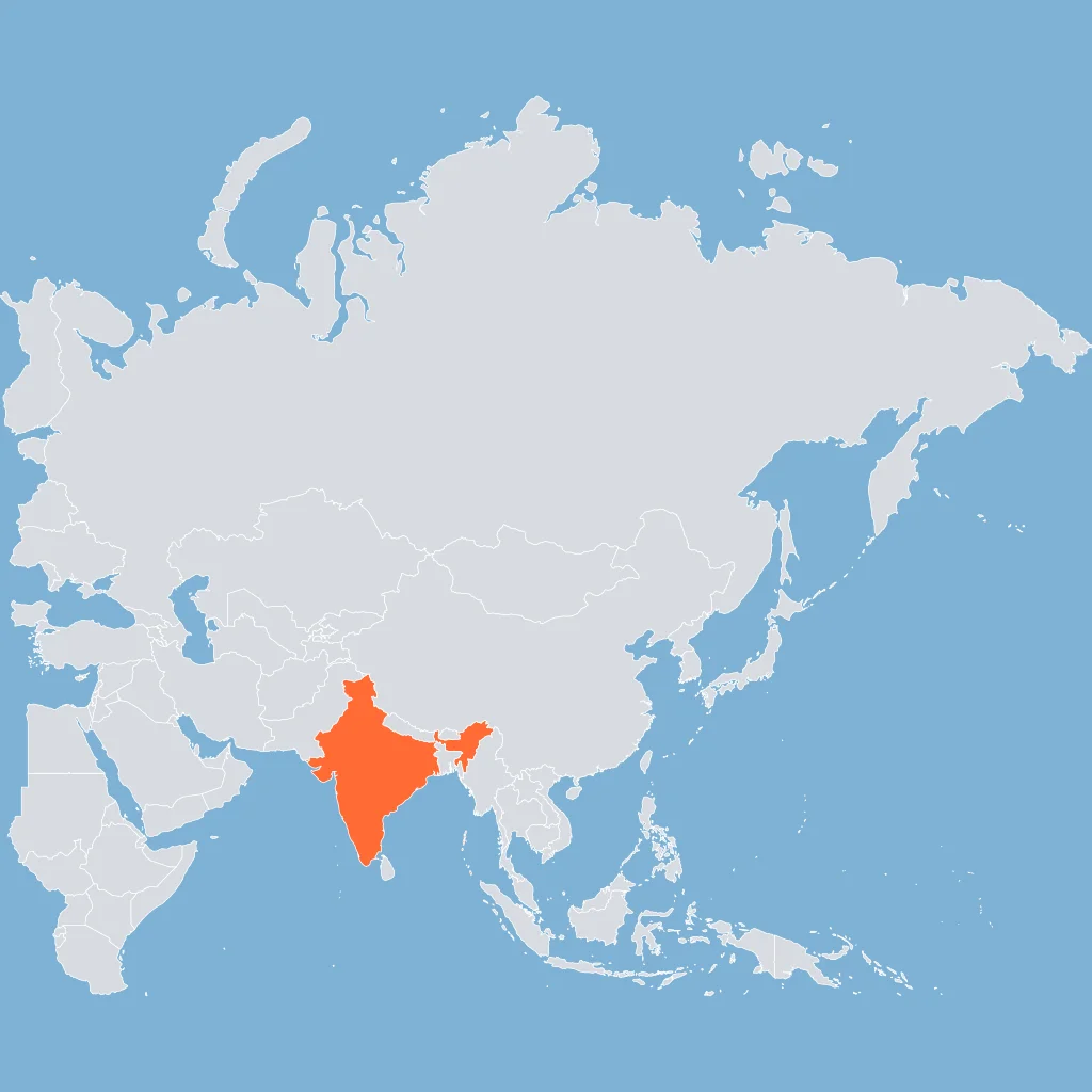
What kind of map shades these countries under its title?
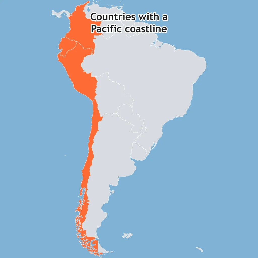
A political map of a continent is spread on the desk. What does it show most clearly?
A physical map of a region is used in class. What information is it meant to show?
A thematic map shades counties by population density, with darker shades for higher values. What does a dark county show?
A road map of a metropolitan area is folded in a glove box. What does it show most clearly?
A choropleth thematic map uses darker and lighter shading in its legend. What does that shading usually represent?
A physical map uses color tints and relief shading. What do those elements help a reader understand?
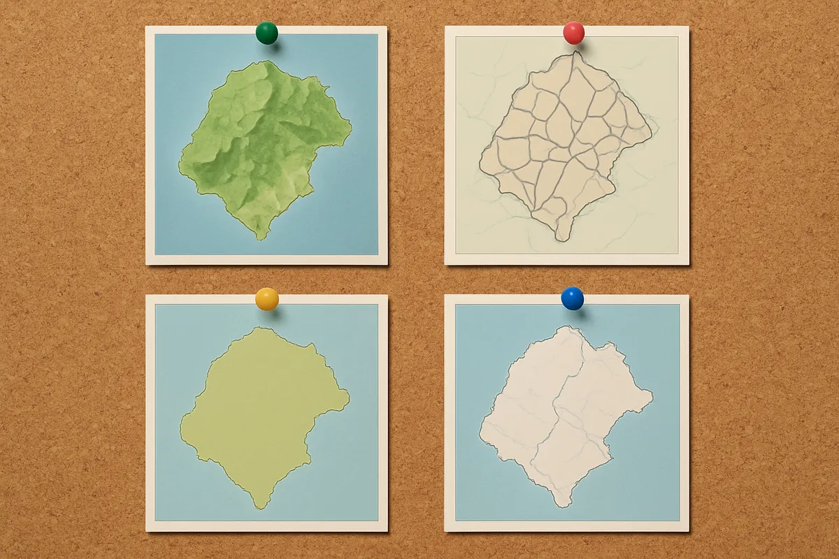
A farmer wants to know whether mountains block moist winds near a field. Which of these two maps answers that job?
A student must decide whether Ecuador or Peru shares a border with Brazil. Which of these two maps answers that?
A delivery driver must choose between two numbered exits on an interstate. Which of these two maps should the driver use?
A researcher wants to compare HDI ranges across countries using a color legend. Which of these two maps is the right tool?
A tourist driving from Dallas to Austin needs route numbers and the distance along highways. Which of these two maps works best?
An environmental group maps drought severity by province with four color ranges. Which of these two maps is best?
Crack the passcode before the zombies get in.
Answer, then swat bugs for bonus points.
Race through questions at your own speed.
Same question on every screen. Fastest wins.

Pick a tile, answer, hit bonuses and steals.
Time Zones and the International Date Line
20 questions