Loading
by BlastRoom
What each geospatial technology does, and which one answers a given real task.
#us_hs_world_geography
20 questions
One question set, multiple game modes. Tap any game to see it in action. Not sure which to pick?
Answer to place stones and capture territory.
Outrun the snow together.
Earn blasts, then hunt the other team.
Answer to earn energy, then climb.

The class blasts through walls together.
Bid on mystery lots. Most money wins.
Sell tours. Nice, standard, or a total scam.

Answer, restock, and serve the rush.
More correct answers pulls the rope your way.
Answer, then shoot down the alien wave.
Answer, then tap to leap the frozen ridge.
A county emergency manager overlays flood zones, road networks, and school sites to choose shelter locations. Which technology answers that task?
A ship's captain needs the vessel's exact latitude and longitude during fog. Which technology gives that position?
A forester compares satellite images from spring and late summer to find areas burned by wildfire. Which technology provides the evidence?
A delivery company records each truck's current coordinates so dispatchers can send the nearest driver to a pickup. Which technology supplies the coordinates?
A public health team maps clinics, bus routes, and population density to find underserved neighborhoods. Which technology is built for that analysis?
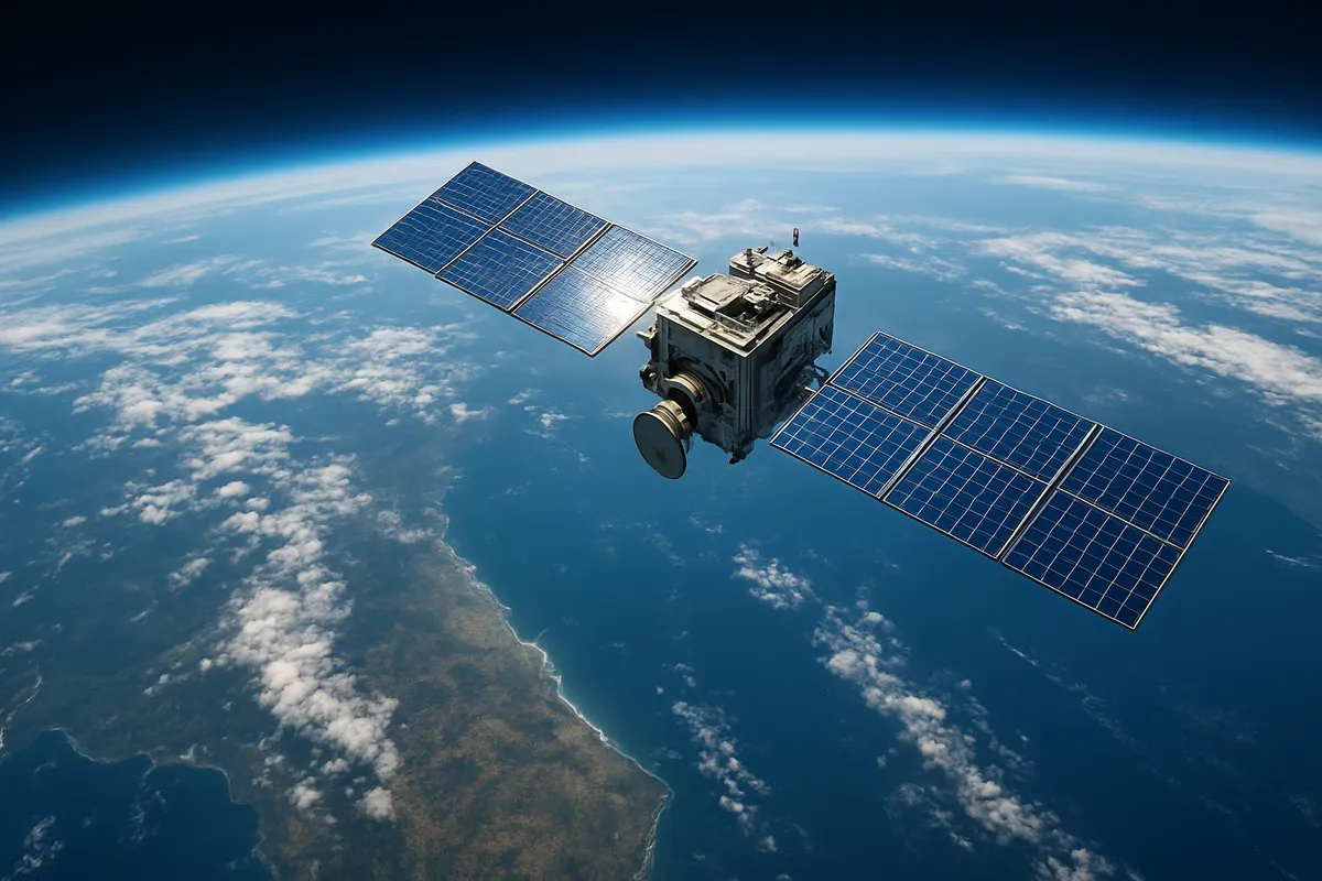
A scientist uses thermal images from an orbiting sensor to map sea-surface temperature. Which technology is being used?
A hiker presses a button on a handheld receiver to save the exact spot where a trail crosses a stream. Which technology records that point?
A planner asks where new housing would be close to transit but outside steep-slope hazard zones. Which technology can compare those map layers?
A phone finds its location by timing radio signals from several orbiting satellites. That is an example of what technology?
A tractor's guidance system keeps planting rows perfectly straight by continuously calculating the vehicle's exact position from satellite signals. What technology guides the tractor?
An aircraft-mounted sensor records reflected light from crop fields without touching the plants. What technology does this describe?
A navigation unit calculates that a car is at 36°N, 86°W by receiving signals from space. Which technology is doing that calculation?
A geographer uses software to ask how many homes fall within one mile of a proposed rail station. The software links locations to attribute data. What is it?
A satellite sensor repeatedly scans the same coastline and records the color and brightness of the surface below. Which technology is described?
Two GIS layers show slope angle and soil drainage for a hillside. What question can their overlay best answer?
A GIS combines a layer of grocery stores with a layer of households that lack cars. What question can the combined map answer?
A GIS overlay combines wildfire risk zones with the locations of hospitals and nursing homes. What can the overlay help identify?
Satellite images from 1990, 2005, and 2020 show a city expanding onto nearby farmland. What has remote sensing measured?
Images taken from orbit before and after a hurricane show a barrier island losing beach area. What is being measured?
A series of satellite images shows a lake shrinking during several dry years. What kind of change does remote sensing reveal?
Crack the passcode before the zombies get in.
Answer, then swat bugs for bonus points.
Race through questions at your own speed.
Same question on every screen. Fastest wins.

Pick a tile, answer, hit bonuses and steals.
Earth's Structure and Plate Tectonics
30 questions