Loading
by BlastRoom
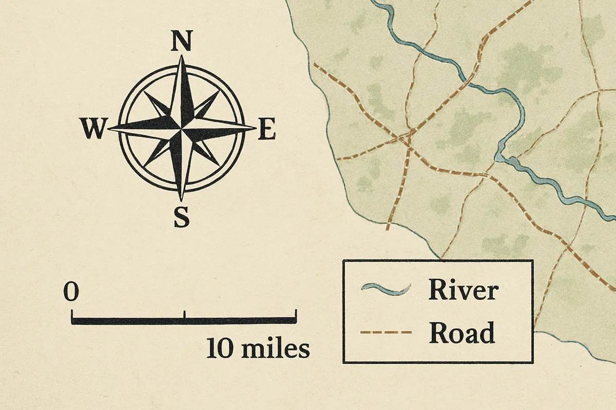
Reading a map's title, key, scale bar and orientation, and using them to answer a question.
#us_hs_world_geography
20 questions
One question set, multiple game modes. Tap any game to see it in action. Not sure which to pick?
Answer to place stones and capture territory.

Pick a tile, answer, hit bonuses and steals.

Battleship. Sink every enemy ship to win.
Pass the potato before the fuse runs out.
Buy low, sell high, before the news breaks.
Take the wages, or take the whole vault.
Answer, then shoot for the top corner
A ruled line marked from 0 to 50 miles runs along a map's lower border. What map element lets readers convert map distance to real distance?
A small box explains that a blue line means river and a black dot means city. What map element explains symbols?
An arrow design on a map is labeled N, E, S, and W. What map element shows orientation?
The line at the top of a map reads “Major Rivers of South America.” What map element identifies the map's subject?
A map page has two printed labels: “Climate Zones of Africa” above the map, and “Desert” inside a small boxed key with color swatches at the bottom. Which label is the map title?
A map uses red shading for high population density and yellow for low population density. What element tells what the colors mean?
On a map that is not drawn with north at the top, what element should a reader check before saying east or west?
A printed distance bar states that one inch stands for 20 miles. Two towns are three inches apart on the map. What real distance does the bar show?
On a map, one inch stands for 50 miles. A river segment measures two inches on the page. What distance does that represent?
A map's distance bar shows one inch for 15 miles. A trail is three inches long on the map. How long is the trail in real distance?
A map uses one inch to represent 25 miles. A road between two towns is three inches on the map. What is the real distance?
A printed distance bar says one inch stands for 40 miles. Two cities are two inches apart on the map. How far apart are they?
The symbol box shows a red star for a state capital and a black dot for a town. Boise has a red star. What does the symbol mean?
The symbol box uses a green triangle for a national park. Four green triangles appear within one state. What does that map show?
The symbol box says a blue line marks a river and a yellow line marks a highway. A blue line crosses a city label. What feature crosses the city?
The symbol box lists brown shading as mountains and tan shading as desert. An area on the west side is brown. What landform is in that area?
A direction arrow shows north at the top of the page. Port A is printed to the right of Port B. What direction is Port A from Port B?
A direction arrow shows north at the top of the page. A town is printed below a lake. What direction is the town from the lake?
A north arrow points to the right side of the page. A cabin is printed above a lake on the page. What direction is the cabin from the lake?
A north arrow points toward the bottom of the page. A market is printed left of a plaza on the page. What direction is the market from the plaza?
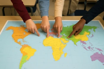
The Five Themes of Geography
40 questions
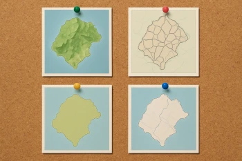
Types of Maps and What Each One Shows
30 questions
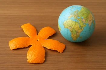
Map Projections and Distortion
20 questions
Latitude, Longitude and Absolute Location
40 questions
Hemispheres, the Equator and the Prime Meridian
20 questions
Time Zones and the International Date Line
20 questions
Reading Thematic Maps: Choropleth, Dot, Flow and Cartogram
25 questions

GIS, GPS and Remote Sensing
20 questions

Origins and History of Psychology
25 questions
Keep the tile or give it to a rival team.
Answer correctly to move your piece.
Texas Hold'em. Answer to draw better cards.
Pick a chest. Big bonus, or lose it all.
Catapult a rival castle or repair your own.
Climb the mountain, or push a rival off it.




