Loading
by BlastRoom
Practice interpreting map locations, chart data, table evidence, and political cartoon symbols.
#inquiry_skills#us_grade_8_social_studies
20 questions
One question set, multiple game modes. Tap any game to see it in action. Not sure which to pick?
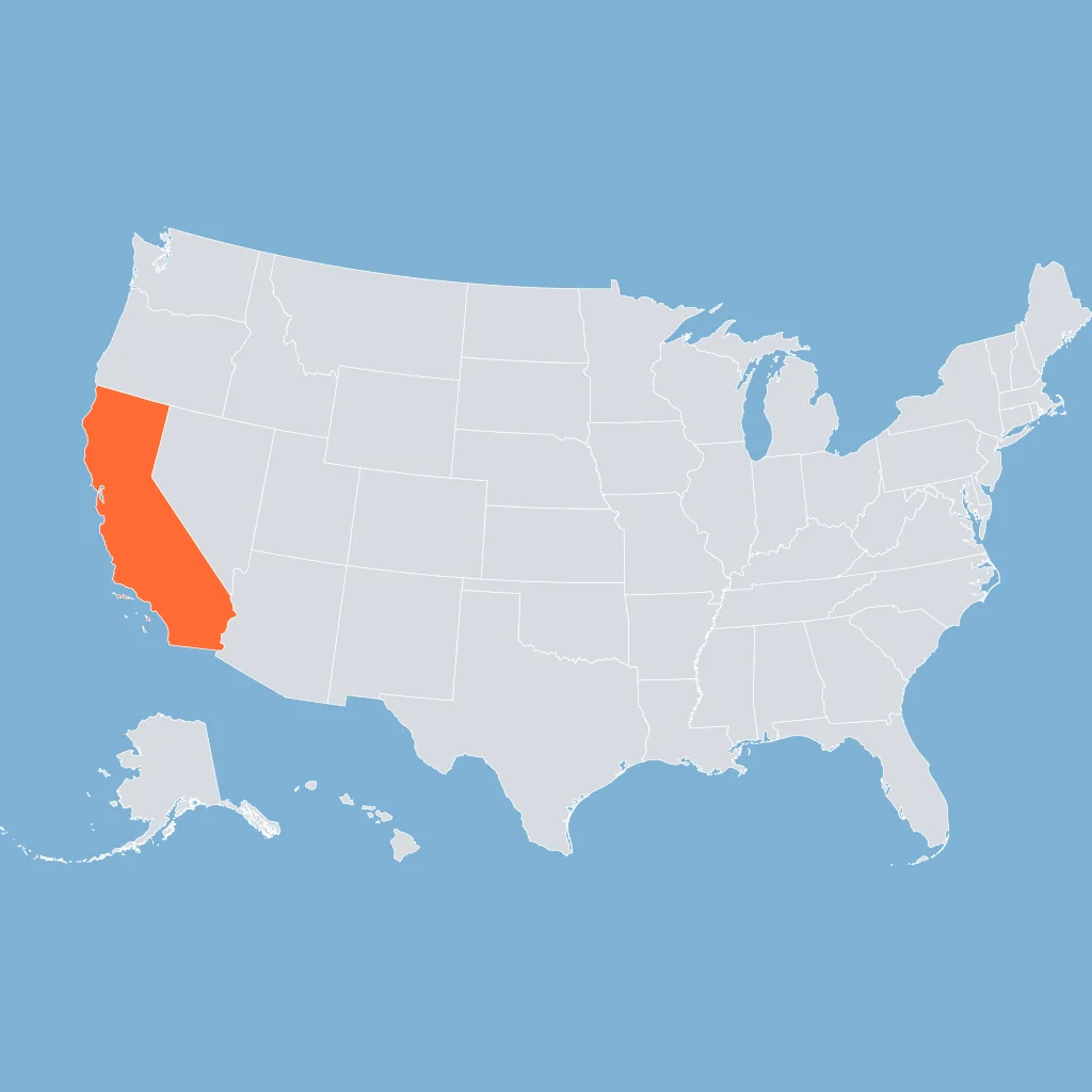
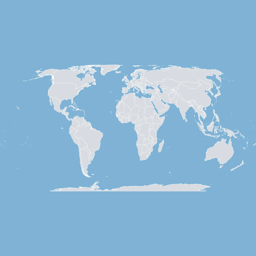
Use the U.S. map. California's location best supports which route for a ship leaving its coast?
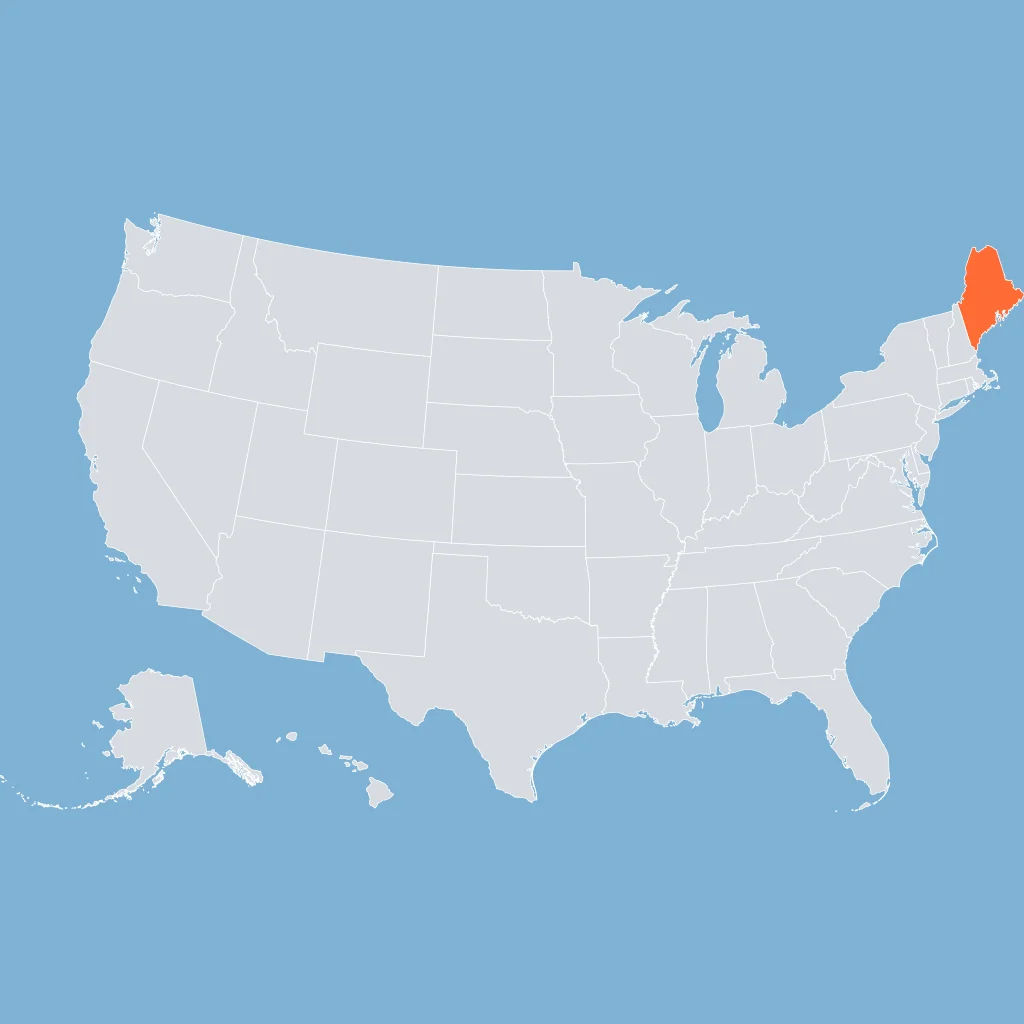
Use the U.S. map. Maine is closest to which border or coastline?
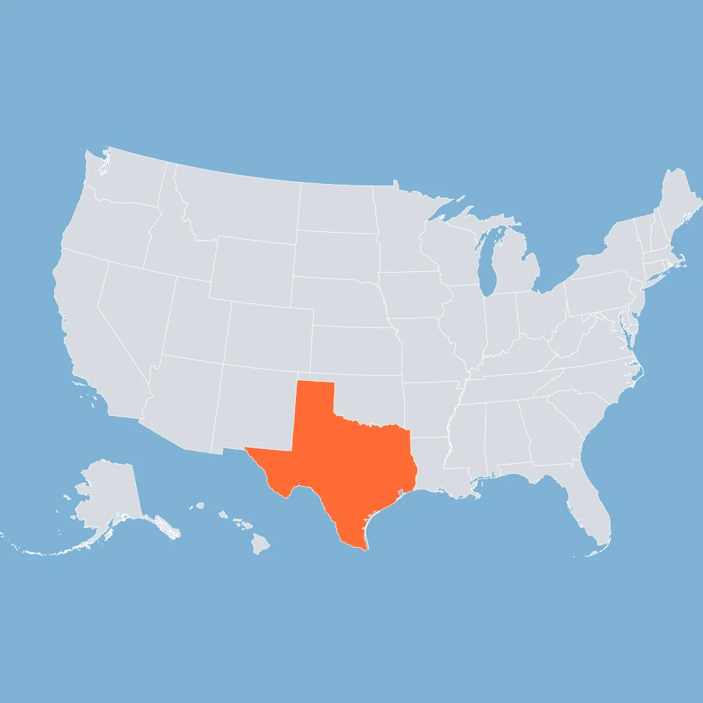
Use the U.S. map. Texas's location supports which border statement?
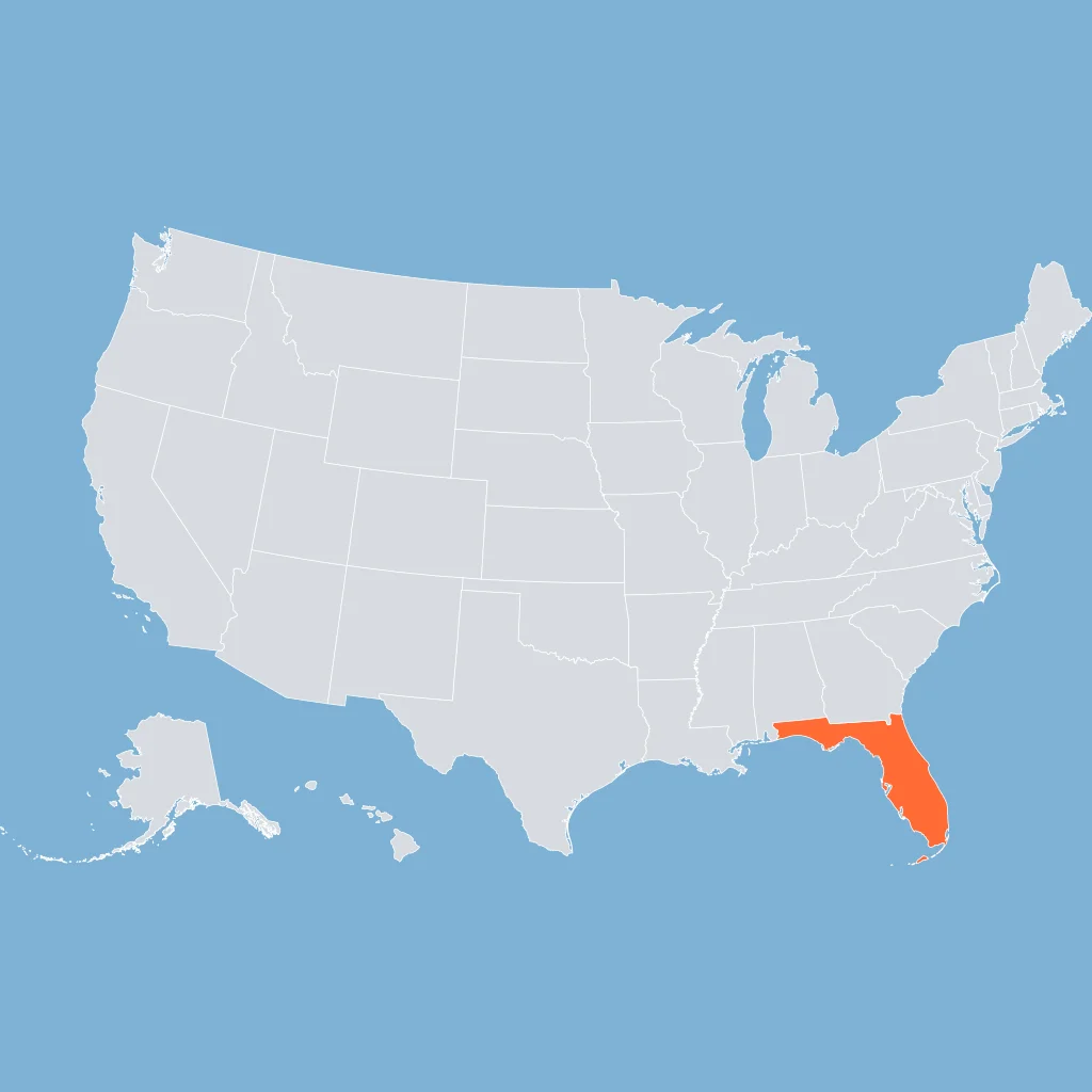
Use the U.S. map. What does Florida's shape help a reader understand?
Use the world map. Europe is in which direction from Africa?
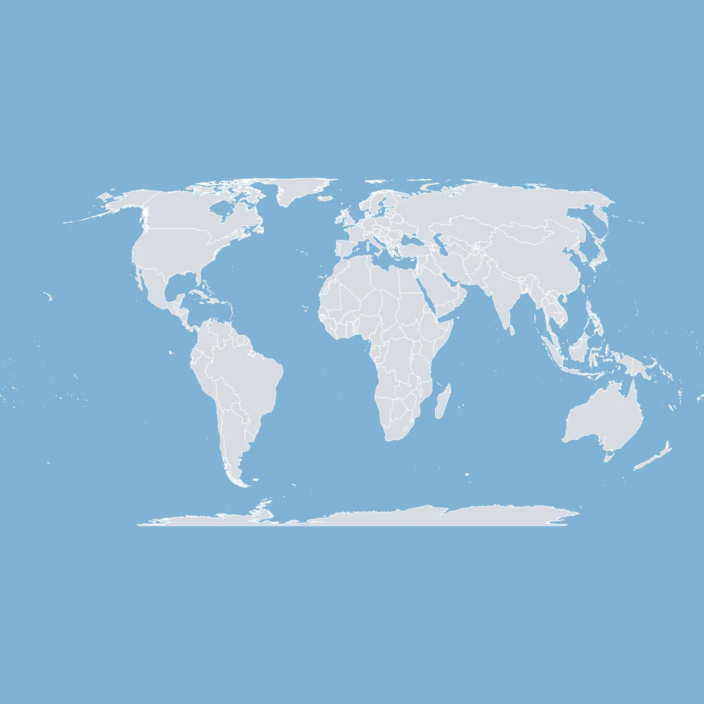
Use the world map. The North Atlantic separates which pair of continents?
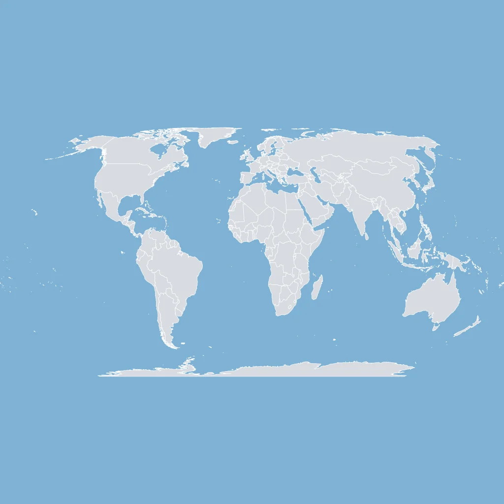
Use the world map. South America sits mostly ___ of Africa across the Atlantic.
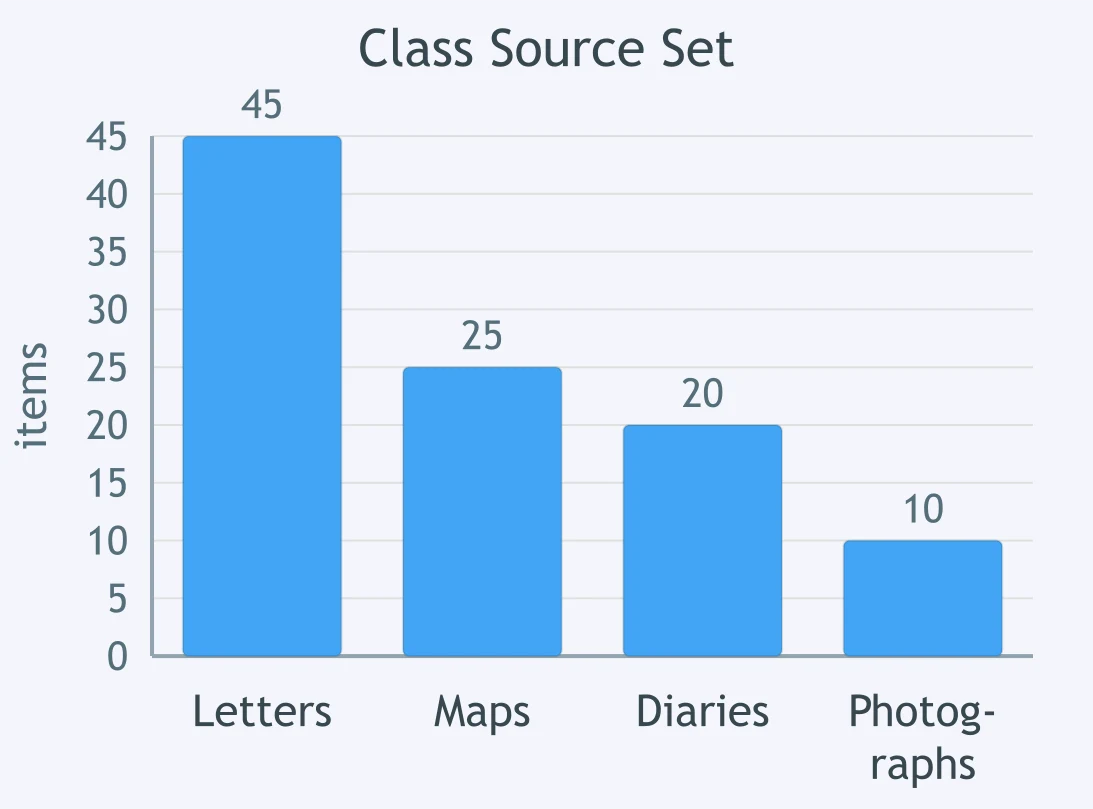
Use the bar chart. Which archive item appears most often in the source set?
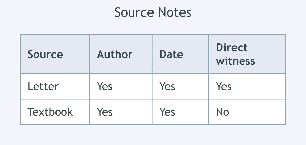
Use the table. Which listed source is primary evidence for the event?
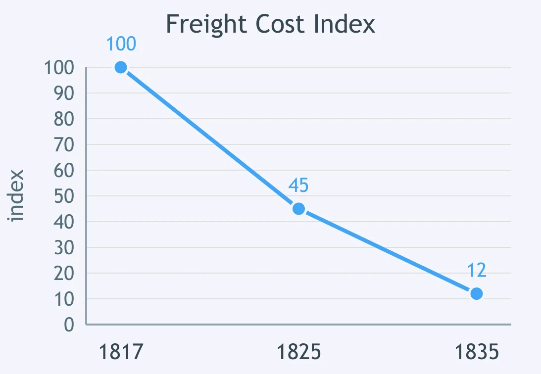
Use the line graph. What trend does the freight cost index show?
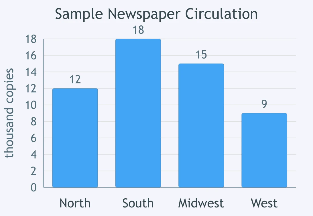
Use the bar chart. Which region has the second-highest newspaper circulation?
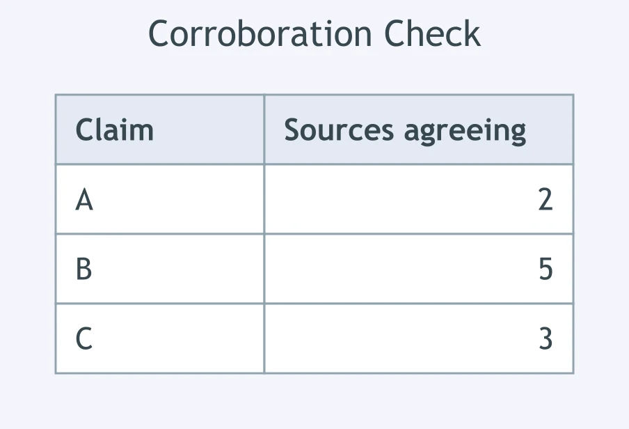
Use the table. Which claim has the strongest corroboration?
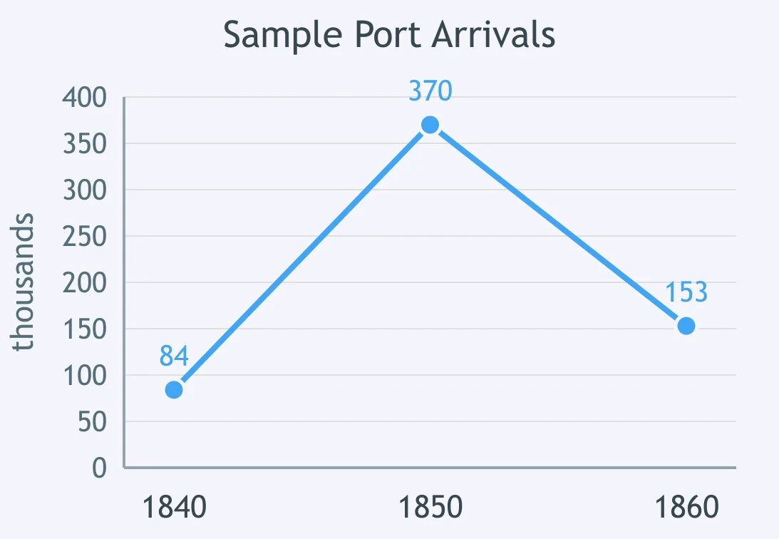
Use the line graph. What pattern do the port arrivals show?
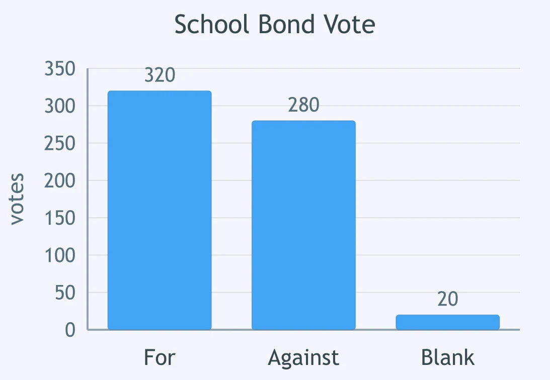
Use the bar chart. What outcome is supported by the vote totals?
Use the cartoon. A magnifying glass over a newspaper headline most likely symbolizes what reader action?

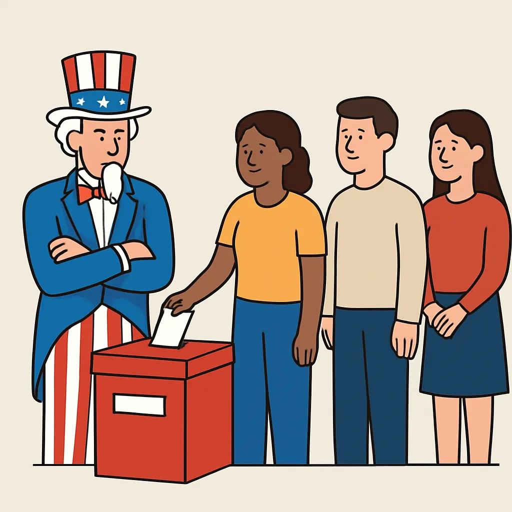
Use the cartoon. What does Uncle Sam represent as he stands beside the ballot box?
Use the cartoon. A giant money bag looming over lawmakers most likely criticizes what issue?

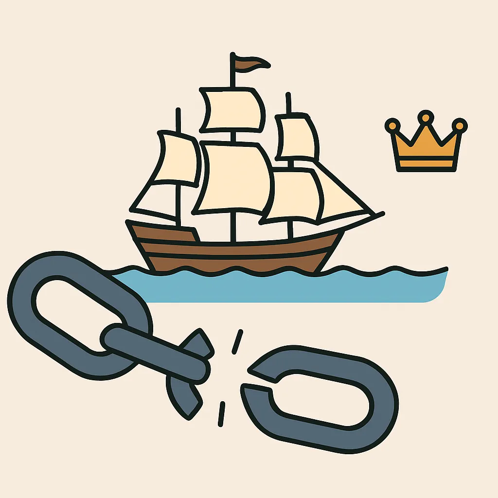
Use the cartoon. What does a broken chain beside a distant crown most likely symbolize?
Use the cartoon. The scale balancing a torch and shield most likely shows what civic tension?

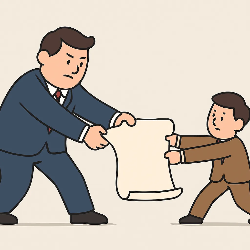
Use the cartoon. Large and small delegates tugging parchment most likely symbolize debate over what?
Crack the passcode before the zombies get in.

Pick a tile, answer, hit bonuses and steals.
Industrialization and Big Business
20 questions