Loading
by BlastRoom
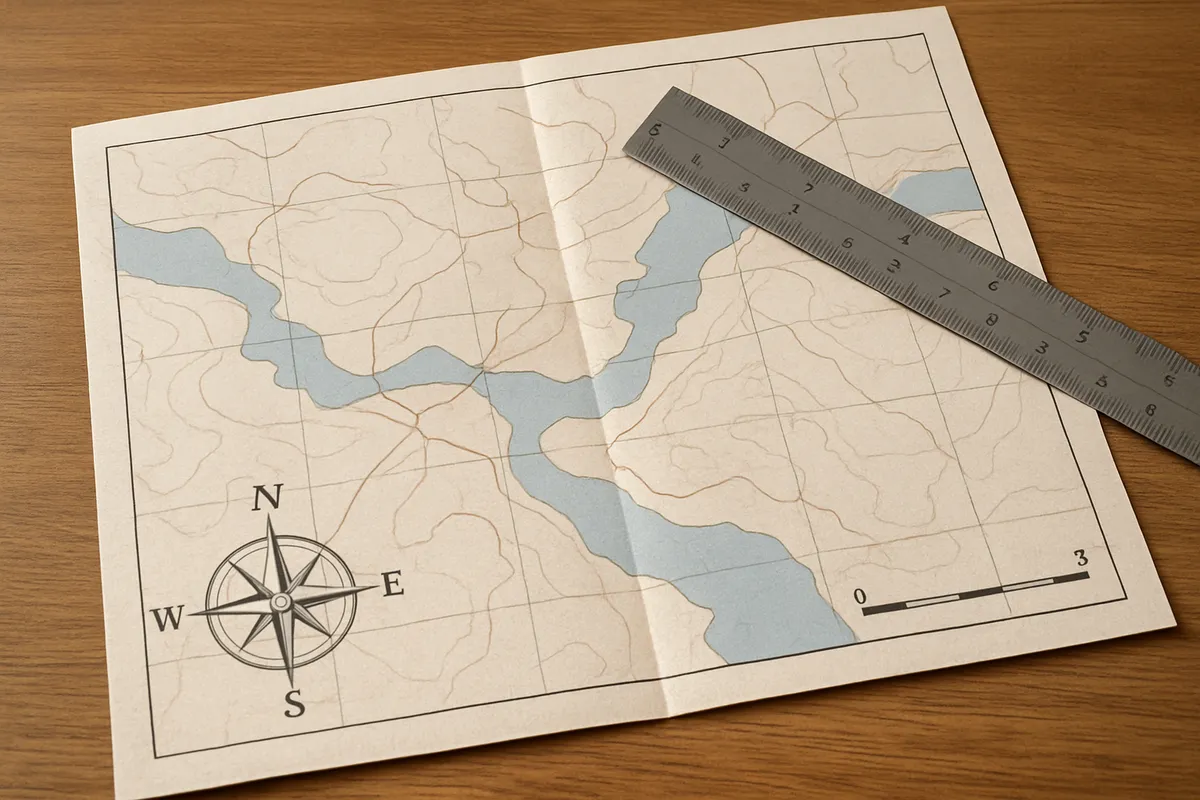
Practice locating places and reading distances, map symbols, legends, and geographic data.
#geography#us_grade_8_social_studies
20 questions
One question set, multiple game modes. Tap any game to see it in action. Not sure which to pick?
Answer to place stones and capture territory.
Outrun the snow together.
Earn blasts, then hunt the other team.
Answer to earn energy, then climb.

The class blasts through walls together.
Bid on mystery lots. Most money wins.
Sell tours. Nice, standard, or a total scam.

Answer, restock, and serve the rush.
More correct answers pulls the rope your way.
Answer, then shoot down the alien wave.
Answer, then tap to leap the frozen ridge.
Which point is farthest north: Point A at 25°N, Point B at 42°N, Point C at 10°S, or Point D at 5°N?
Which point is farthest west from the prime meridian: Point A at 80°W, Point B at 120°W, Point C at 95°E, or Point D at 10°E?
A ship's location is 20°S, 60°W. Which hemispheres is it in?
Memphis, Tennessee, lies near the 35th parallel and the 90th meridian. Which coordinates give its approximate absolute location?
Which town is closest to the Equator: Town A at 2°N, Town B at 18°S, Town C at 45°N, or Town D at 12°S?
A map scale says 1 inch equals 50 miles. Two cities are 4 inches apart on the map. What is the real distance?
A trail is 3.5 inches long on a map with a scale of 1 inch equals 20 miles. How long is the trail in real distance?
A map's bar scale shows each half inch equals 10 miles. A river measures 2 inches on the map. What real distance does that represent?
On a map, 3 inches represents 150 miles between two towns. What distance does 1 inch represent on this map?
A road atlas scale is 1 inch equals 75 miles. A road segment is 2.4 inches long on the map. What is the real distance?
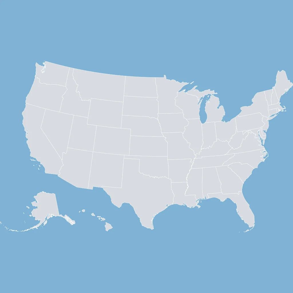
Use the U.S. map showing state borders. What type of map best emphasizes boundaries between states?
Which map element explains what the colors, lines, and symbols on a map mean?
A map has a small symbol with arrows pointing to N, E, S, and W. What is this map element called?
If a world map shades each country by population density, what type of map is it?
On many flat world maps, such as the Mercator projection, Greenland looks about as large as Africa. Why does this happen?
Population density table: Pine 120, Mesa 15, Lake 90, River 50 people per square mile. Which county has the highest density?
Rainfall table: Brook 18, Harbor 42, Prairie 23, Canyon 9 inches per year. Which city is wettest?
Climate table: Northport Jan 20°F, Jul 76°F; Southport Jan 60°F, Jul 85°F. Which city has the greater seasonal temperature range?
Net migration table: North +10,000, South -5,000, East +2,000, West -1,000. Which region had the largest population loss?
Land-use table for a 200-square-mile county: forest 40%, farms 35%, urban 15%, water 10%. How many square miles are farmland?
Crack the passcode before the zombies get in.
Answer, then swat bugs for bonus points.
Race through questions at your own speed.
Same question on every screen. Fastest wins.

Pick a tile, answer, hit bonuses and steals.
Migration and Settlement Patterns
20 questions