Loading
by BlastRoom
C3 skills practice: read a described thematic map's pattern and explain what it implies about a region.
#skills#us_grade_6_social_studies
20 questions
One question set, multiple game modes. Tap any game to see it in action. Not sure which to pick?
Answer to place stones and capture territory.
Outrun the snow together.
Earn blasts, then hunt the other team.
Answer to earn energy, then climb.

The class blasts through walls together.
Bid on mystery lots. Most money wins.
Sell tours. Nice, standard, or a total scam.

Answer, restock, and serve the rush.
More correct answers pulls the rope your way.
Answer, then shoot down the alien wave.
Answer, then tap to leap the frozen ridge.
A population density map of Egypt shades a narrow band along the Nile darkest and the surrounding desert lightest. What physical cause best explains this pattern?
A map's scale bar shows that one centimeter stands for 50 kilometers. Two cities are four centimeters apart on that map. How far apart are they on the ground?
On the global grid, which line is drawn at zero degrees latitude?
A globe marks one line as zero degrees longitude, the starting line for measuring east and west. What is that line called?
A place on a thematic map is labeled with the coordinates 30 degrees north, 90 degrees west. In which two hemispheres does that place lie?
A map of one region uses different colors to show where wheat farming, mining, and manufacturing take place. What kind of thematic map is it?
A map shows the boundaries between countries, names each country, and marks its capital city with a star. What kind of map is it?
A climate map shades a region's wide interior as arid and its coastal strip as temperate. A population density map of the same region shows people packed onto that coast. What do the two maps together support?
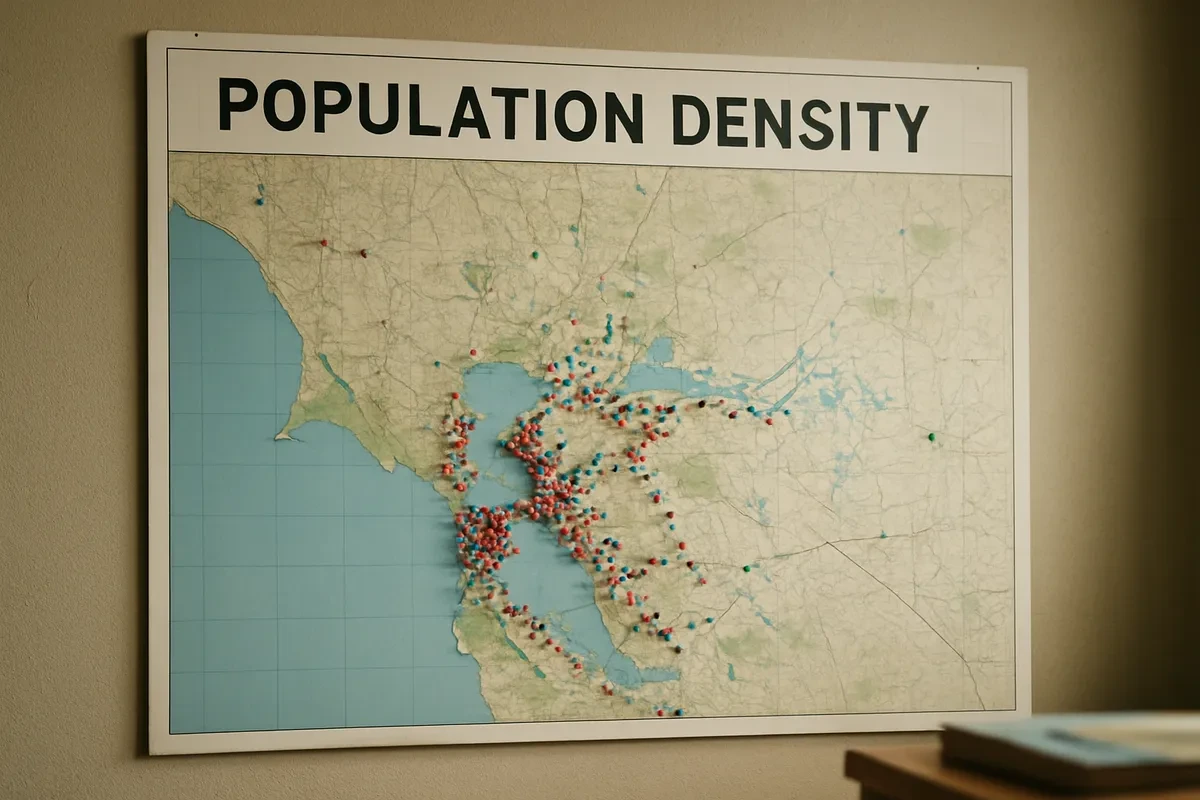
A population density map has a key running from pale yellow, fewer than ten people per square kilometer, to dark brown, more than five hundred. One area is shaded dark brown. What does that shading mean?
A map of a whole continent and a map of a single city are printed on pages of the same size. Compared with the continent map, what does the city map show?
A resource map marks oil fields along one coastline. An economic activity map of the same coast shades it as a refining and manufacturing zone. What does the pairing best imply?
The main purpose of a physical map is to show landforms and elevation.
On any map that uses the global grid, what do lines of latitude measure?
Which two hemispheres does the equator separate?
A rainfall map of South Asia shades the western coast and the far northeast as the wettest areas and the northwest interior as the driest. What best explains the wet areas?
A population density map of one region shows dark shading only in a single river valley and pale shading everywhere else. What claim does this map by itself support?
A map's scale is printed as the ratio 1:100,000. What does that ratio tell a reader?
A city sits where the meridian 90 degrees west crosses the parallel 30 degrees north. How are that city's coordinates written in the standard order?
A physical map shows a high mountain range crossing one region. A population density map of the same region leaves those mountains almost blank. What best explains the pattern?
On any map that uses the global grid, what do lines of longitude measure?
Crack the passcode before the zombies get in.
Answer, then swat bugs for bonus points.
Race through questions at your own speed.
Same question on every screen. Fastest wins.

Pick a tile, answer, hit bonuses and steals.
Cause, Effect, Continuity, and Change
20 questions