Loading
by BlastRoom
C3 skills practice on how geographers define regions and compare them, and how people adapt to and modify their environments.
#skills#us_grade_6_social_studies
20 questions
One question set, multiple game modes. Tap any game to see it in action. Not sure which to pick?
Geographers sort the world into regions to study it. What makes a group of places count as one region?
The Sahara is grouped as a single unit because of its hot, dry climate, its sand and rock surface, and its lack of rivers. What kind of region is it?
Latin America is studied as one unit because most of its countries use Spanish or Portuguese and share related traditions. What kind of region is being described?
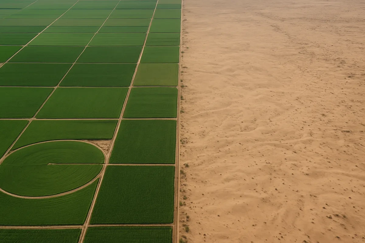
In a dry river valley, farmers dig long canals to carry river water out to fields far from the bank. What kind of human-environment interaction is this?
In a cold climate zone, people wear thick fur-lined clothing and build homes with steep roofs so snow slides off. What kind of human-environment interaction is this?
A report says that a mountainous region has very little arable land. What does that tell you about the region?
A population density map of Egypt shades a narrow strip along the Nile in dark colors and leaves the rest of the country nearly blank. What does this settlement pattern suggest?
The Sahara and the Amazon Basin are both physical regions defined partly by climate. The Sahara is arid. How would a climate map describe the Amazon Basin?
One place can belong to a physical region and to a cultural region at the same time. Why is that possible?
In one part of a region, timber companies cut trees and replant them. In another part, miners dig coal from a seam. If both keep working for hundreds of years, which resource can the region keep drawing on?
A coastal community sets a yearly limit on how many fish may be caught so that the fish stocks can rebuild themselves. Which idea is guiding that rule?
A thematic map of Asia shades areas by their average temperature and yearly rainfall, and the key lists names like arid, tropical, and temperate. What kind of map is it?
A geographer wants to find where a region's oil, iron ore, and copper deposits are located. Which kind of thematic map is the right tool?
A climate map shades a country's interior as arid. A population density map of the same country leaves that interior almost empty. Read together, what do the two maps suggest?
A delta, a plateau, and a basin all belong to the same category of geographic feature. What are they?
A geographer describes a region's settlement pattern. What is being described?
On steep hillsides in Southeast Asia, farmers cut stair-like terraces for rice. Besides making flat fields, the terrace walls slow rainwater running down the slope. What problem does that help prevent?
North Africa and the lands south of the Sahara sit on one continent but are usually studied as two cultural regions. Which difference helps explain that split?
A cultural region can be defined by a shared language even when the places inside it have very different landforms and climates.
What situation shows the environment shaping how people live, rather than people changing the environment?
Crack the passcode before the zombies get in.

Pick a tile, answer, hit bonuses and steals.
Cause, Effect, Continuity, and Change
20 questions