Loading
by BlastRoom
C3 skills practice for Grade 6: reason from a physical feature to a settlement decision, an adaptation, or a modification.
#skills#us_grade_6_social_studies
20 questions
One question set, multiple game modes. Tap any game to see it in action. Not sure which to pick?
Early farming villages clustered on river floodplains because the yearly floods left a fresh layer of silt behind. What did that silt give the villagers?
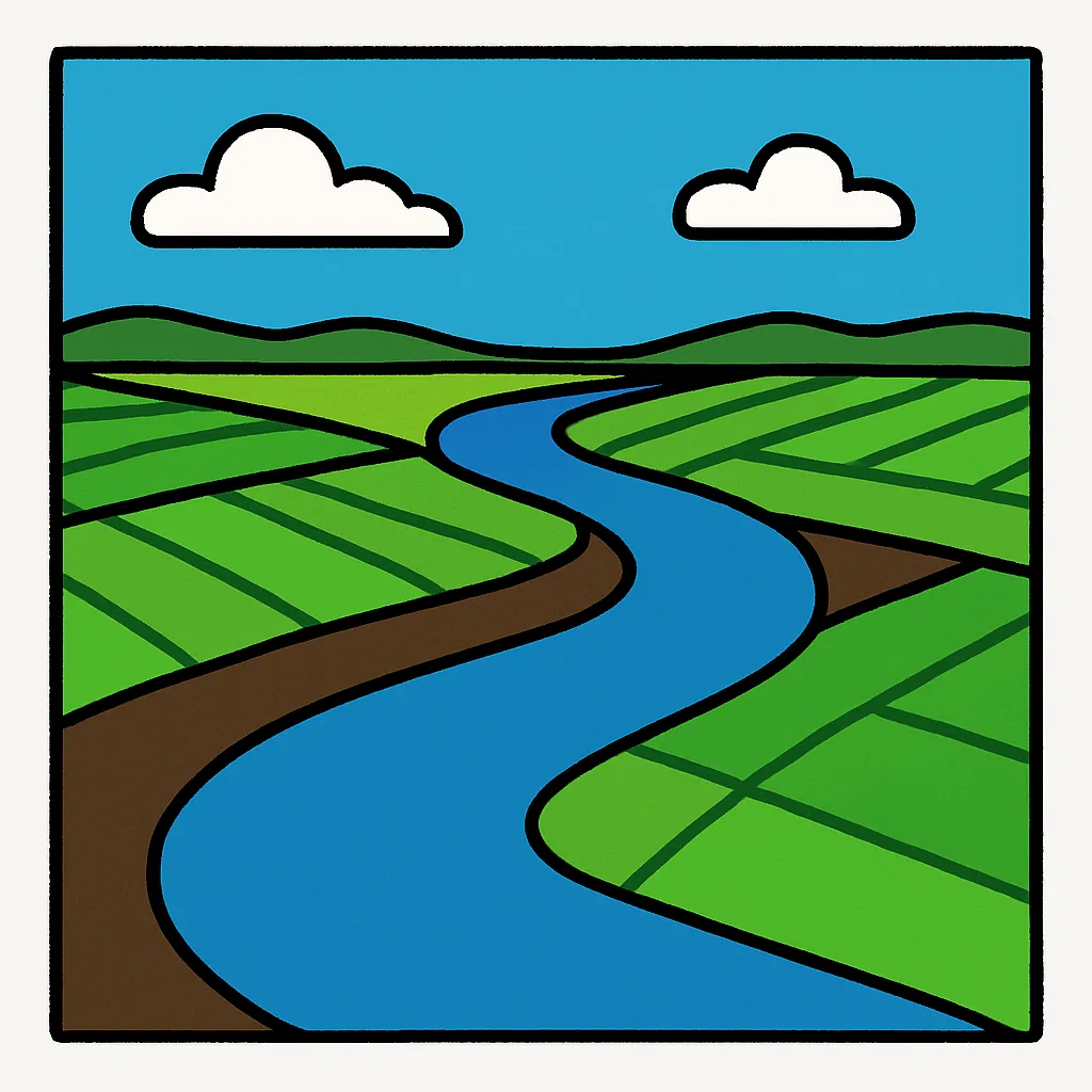
A community digs canals to carry river water out to dry fields. Changing the land itself to fit human needs in this way is called what?
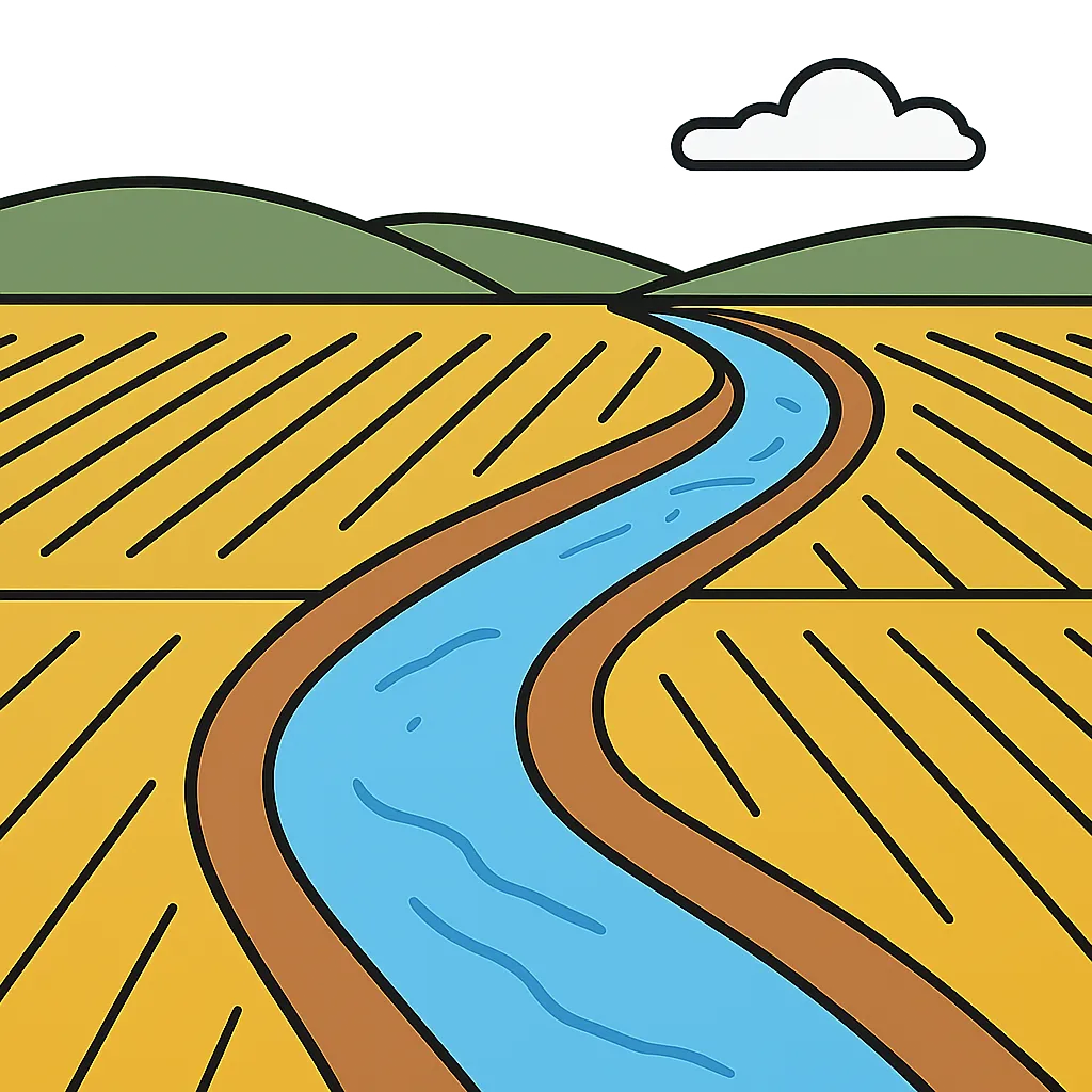
People living in a very cold climate zone wear thick layers of animal fur and eat foods high in fat. Changing how they live to fit the environment is called what?
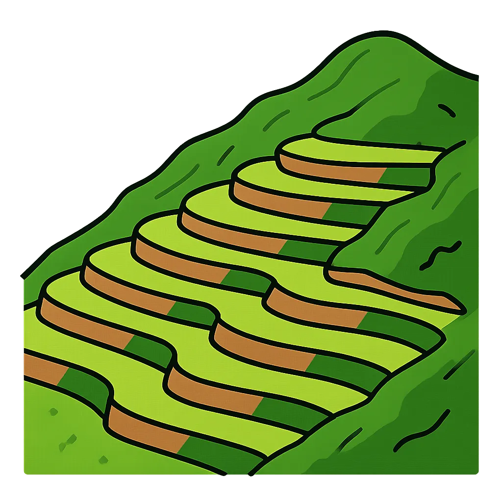
Farmers on a steep hillside cut stepped fields into the slope. What does this modification give them?
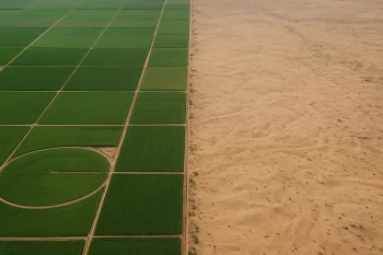
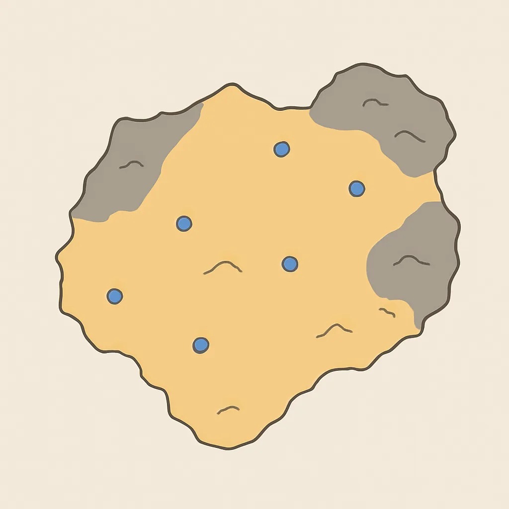
A resource map of a desert region shades the land as sand and rock, with a few scattered wells and springs marked in blue. Where would settlements most likely form?
A trading city grew beside a deep, sheltered bay where ships could anchor safely out of ocean storms. Which physical feature explains why the city grew there?

A high mountain range with steep slopes and thin, rocky soil runs through a region. What settlement pattern would you expect on those slopes?
Geographers group together places where most people speak the same language and share many customs. What kind of region have they described?
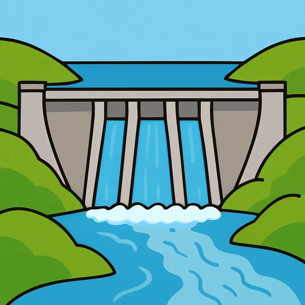
A dam holds back a river to form a reservoir that stores water through the dry months. Which group most directly gains from that stored water?
A fishing village sets a limit on how many fish it takes each year so the fish can renew themselves for future generations. Which idea is the village following?
Farmers strip the trees from a steep hillside to plant crops. Heavy rains soon wash much of the soil down the slope. What did clearing the trees do?
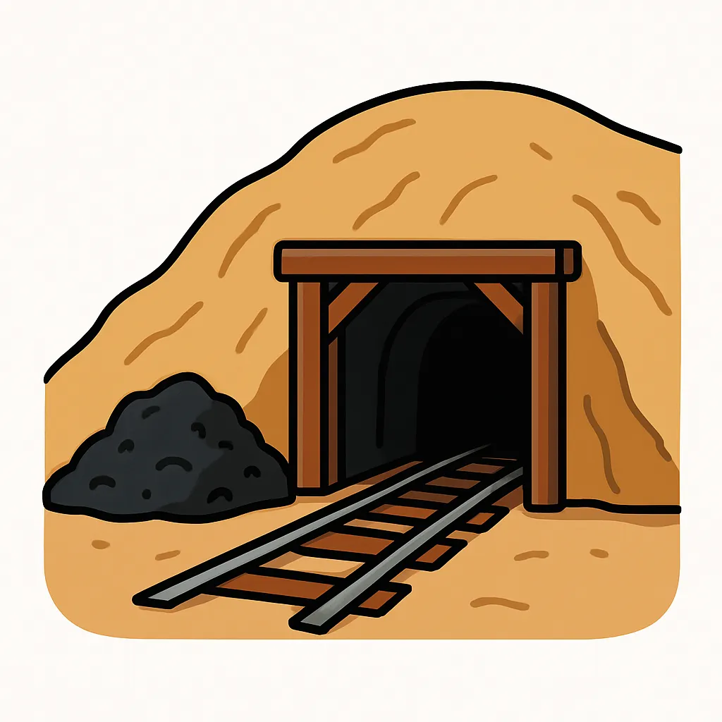
A town grows quickly in a dry valley far from any river or good farmland, right beside the site shown in the picture. What most likely drew people to settle there?
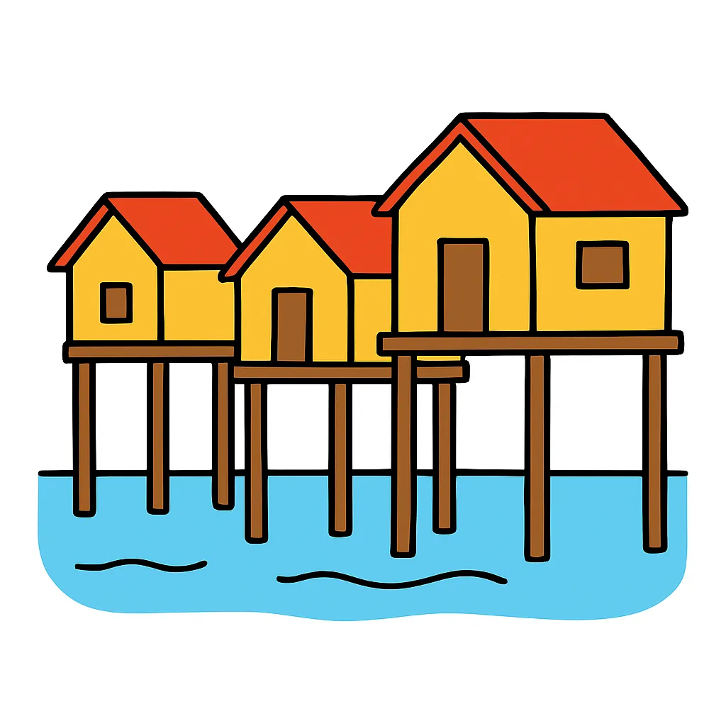
In a low river delta, families build their houses on tall wooden stilts. What does that design mainly protect the houses from?
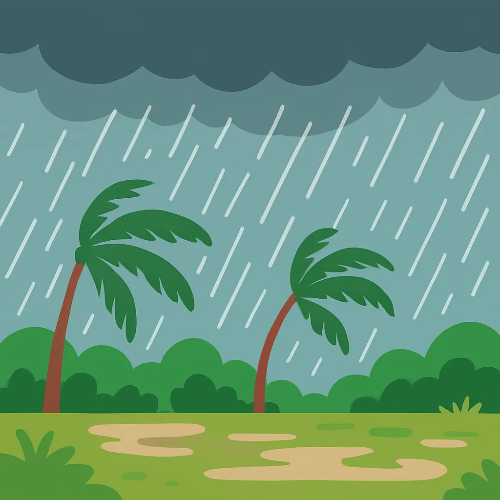
A region has a monsoon climate with heavy rain every summer and a dry winter. Which farming choice fits that climate zone?
Towns along a busy river trade route came to share foods, tools, and beliefs with peoples who lived far away. Why did that happen?
A high mountain range can slow the spread of people, goods, and ideas between the regions on either side of it.
In one region the flat land beside the river is planted with crops, while the rocky uplands are left in forest and used for timber. What does that describe?
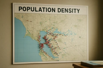
A climate map shades one region as arid, and a population density map of the same region shows almost no one living there. What link do the two maps together suggest?
A long drought dries the wells and ruins the harvest, and many families leave the area to find work elsewhere. What is the drought an example of?
Before railroads, a busy trading town grew at the place where two large rivers joined. Which advantage of that site best explains its growth?
Crack the passcode before the zombies get in.

Pick a tile, answer, hit bonuses and steals.
Timelines and Sequencing Events
20 questions