Loading
by BlastRoom
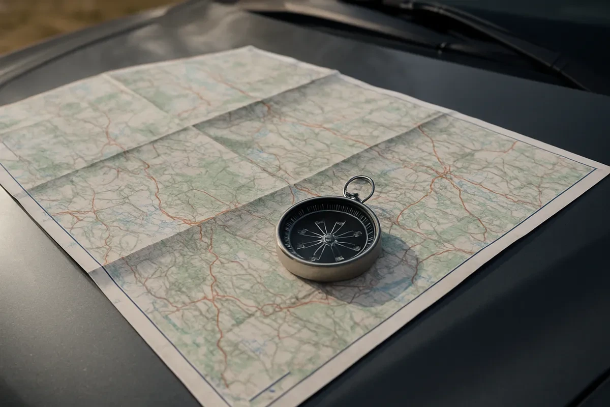
Use map scale and distinguish physical, political, climate, population, resource, and economic-activity maps.
#skills#us_grade_6_social_studies
20 questions
One question set, multiple game modes. Tap any game to see it in action. Not sure which to pick?
A map's scale states that one inch stands for 50 miles. Two cities are drawn three inches apart on that map. How far apart are the cities on the ground?
On a map whose scale states that one centimeter stands for 20 kilometers, two towns are 100 kilometers apart on the ground. How far apart are they drawn on the map?
A world map and a map of a single country are printed on paper of the same size. Compared with the country map, what does the world map show?
What does the scale on a map tell the reader?
A rainfall map's key marks the palest band under 10 inches of rain a year, the middle band 10 to 40 inches, and the darkest band over 40 inches. A town sits in a district drawn in the palest shade. How much rain could it get in a year?
A map of a continent shades mountains in brown and lowlands in green, draws rivers and lakes in blue, and shows no country borders or capital cities. What type of map is it?
A map draws each country in a different color, marks national borders with heavy lines, and shows capital cities with stars, but shows no mountains or rivers. What type of map is it?
A map divides a continent into shaded zones, and its key labels those zones tropical, arid, temperate, and polar. What type of map is it?
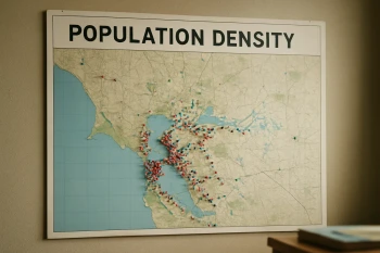
A map shades a country in tones of one color, and its key says the darkest tone marks the areas with the most people living in each square mile. What type of map is it?
A map scatters small symbols across a region, and its key matches each symbol to oil, coal, iron ore, or timber. What type of map is it?
A map shades each part of a region by the main way people there earn a living: farming, herding, manufacturing, or trade and services. What type of map is it?
A student wants to learn which parts of a country receive almost no rainfall during the year. What type of map should the student use?
A student wants to find out where a country's iron ore and coal are located. What type of map should the student use?
A student needs to find out which mountain range separates two regions of a continent. What type of map should the student use?
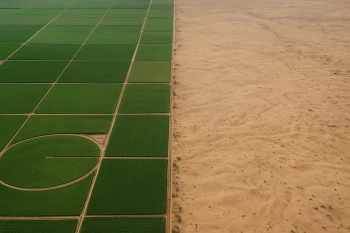
A population density map of Egypt shows almost all of its people living in a narrow strip along the Nile River. A physical map of the same country shows desert on both sides of that river valley. What best explains this settlement pattern?
A climate map of North Africa marks a wide arid zone across the interior. A population density map of the same area shades that zone very lightly. Reading the two maps together, what pattern do they show?
A map states its scale as 1:100,000. What does that scale mean?
What does a thematic map, such as a climate map or a resource map, show that a general physical or political map does not?
A population density map can show that two countries of the same size hold very different numbers of people.
Redrawing a map at a different scale changes the real distance between two cities.
Crack the passcode before the zombies get in.

Pick a tile, answer, hit bonuses and steals.
Cause, Effect, Continuity, and Change
20 questions