Loading
by BlastRoom
Compare the landforms, rivers, mountains and climate zones of North America, Mesoamerica, the Caribbean and South America. Aligned to the New York State Grade 5 social studies framework.
#geography#us_grade_5_social_studies
20 questions
One question set, multiple game modes. Tap any game to see it in action. Not sure which to pick?
Central America narrows to a strip of land only about 30 miles wide in one place, joining the two continents of the Western Hemisphere. What is that narrow land link called?
The longest continental mountain range in the world stretches about 5,500 miles from Venezuela south through Peru, Chile and Argentina. Along which side of South America does it run?
The Amazon River begins high in the Andes of Peru, close to South America's Pacific side, but it reaches the sea on the opposite coast. In which direction does it flow across the continent?
The Amazon Basin stays hot all year, with average temperatures near 80 degrees Fahrenheit and between 6 and 10 feet of rain a year. Which climate zone does that describe?
The Atacama Desert of northern Chile lies in a rain shadow between a coastal range on its west and a much higher range on its east that blocks moist air. Which range is on its east?
One North American range runs from New Mexico north through Canada toward Alaska. Another runs about 2,000 miles from central Alabama northeast to Newfoundland. What is the second, eastern range called?
A vast, flat to gently rolling grassland stretches across the interior of North America just east of the Rocky Mountains, and much of the wheat of the United States and Canada is grown there. What is this region called?
Eastern Mexico's Yucatan is a flat limestone platform that juts out into the sea with water on three of its sides. Which landform term describes it?
Cuba, Hispaniola, Jamaica and Puerto Rico are the four largest islands of the Caribbean, and together they hold most of the region's land. What is this island group called?
The Atlantic hurricane season runs from June 1 through November 30, and these storms form over warm ocean water. Which Western Hemisphere region is struck by them again and again during those months?
Farmers in the Andes of Peru cut long stepped platforms into steep mountainsides and faced them with stone walls. Why did they build these terraces?
Lake Titicaca lies about 12,500 feet above sea level in the Andes, and large boats carry goods across it. Two South American countries share its shoreline. Which two?
Before 1914, a ship sailing from the east coast of the United States to the west coast had to travel all the way around the southern tip of South America. Which waterway ended that long voyage?
Through which group of South American countries does the equator pass?
Costa Rica lies close to the equator, while Canada's northern territories lie far north of it, near the Arctic. How do their climates compare?
The Mississippi River rises at Lake Itasca in northern Minnesota and crosses the interior of the United States for about 2,340 miles. In which direction does it flow from its source?
The Amazon River carries more water to the ocean than any other river in the world.
Argentina's Pampas region has four distinct seasons, with mild summers and cool winters, unlike the hot, steamy Amazon Basin far to the north. Which climate zone best describes the Pampas?
Which geographic feature helped New York City become an important center for trade?
True or False: The Adirondack Mountains are in the southern part of New York State, close to New York City.
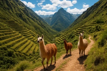
Early Peoples of the Western Hemisphere
40 questions
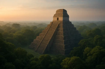
Complex Societies of Mesoamerica and South America
40 questions
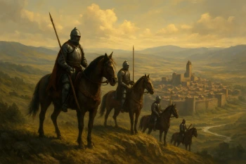
European Conquest of the Western Hemisphere
40 questions
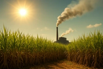
Sugar, Plantations, and Slavery in the Caribbean
40 questions
Comparing Cultures of the United States, Canada, Mexico, and a Caribbean or South American Country
20 questions
Crack the passcode before the zombies get in.

Pick a tile, answer, hit bonuses and steals.