Loading
by BlastRoom
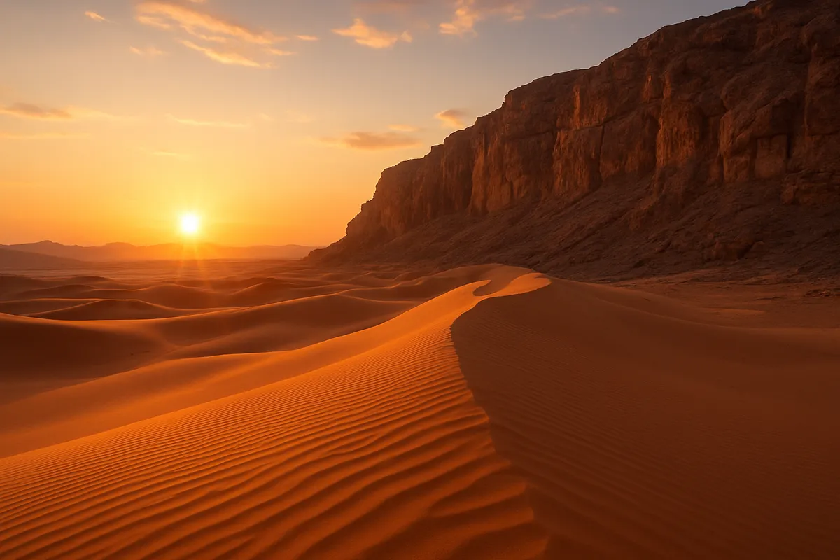
The mountains, plains, rivers, coasts and basins that shape Southwest Asia and North Africa.
#us_hs_world_geography
30 questions
One question set, multiple game modes. Tap any game to see it in action. Not sure which to pick?
Answer to place stones and capture territory.
Outrun the snow together.
Earn blasts, then hunt the other team.
Answer to earn energy, then climb.

The class blasts through walls together.
Bid on mystery lots. Most money wins.
Sell tours. Nice, standard, or a total scam.

Answer, restock, and serve the rush.
More correct answers pulls the rope your way.
Answer, then shoot down the alien wave.
Answer, then tap to leap the frozen ridge.
This range runs along the Mediterranean edge of Morocco, Algeria, and Tunisia, separating coastal plains from the Sahara interior. What feature is described?
Folded mountains along western Iran and northeastern Iraq form the western edge of the Iranian Plateau above the Mesopotamian lowland. What range is this?
This mountain belt arcs across southern Turkiye just north of the Mediterranean coastal plain. Rivers cut through it toward Syria and Iraq. What is it?
A high escarpment parallels the Red Sea on the western Arabian Peninsula, rising above the coastal plain of Saudi Arabia and Yemen. What upland is described?
This broad highland interior of Iran lies between bordering mountain ranges and central desert basins. What physical region is described?
A semiarid upland occupies central Turkiye between northern coastal mountains and the mountain belt near the Mediterranean. What is this plateau?
This range parallels Lebanon's Mediterranean coast; snow on its high slopes helps feed short rivers and it separates the coast from the Beqaa Valley. What is it?
Two rivers rise in eastern Turkiye, flow through Syria and Iraq, and join before reaching the Persian Gulf. What river system is described?
Branches from East and Central Africa meet in Sudan, then the river crosses Egypt northward to the Mediterranean Sea. What river is this?
A short river drains south from highlands near Lebanon and Syria, passes through a freshwater lake, and ends in a salt lake below sea level. What is it?
This river rises in Lebanon's Beqaa Valley, flows north through Syria, then bends west to the Mediterranean near Antakya. What river is it?
This river stays within Lebanon, flowing south and then west through a gorge to the Mediterranean north of Tyre. What river is described?
A river rises in the mountains of western Iran, flows southwest across lowlands, and joins the Shatt al-Arab near the Persian Gulf. What river is it?
A long narrow sea between Africa and the Arabian Peninsula has a deep central trough and volcanic islands. What process explains it?
The Jordan River and the Dead Sea lie in a deep trenchlike valley along a fault zone where earthquakes are common. What process made the valley?
The Zagros Mountains are folded ranges on the northeastern edge of the Arabian Plate. What tectonic process produces their uplift?
A broad, flat lowland at the head of the Persian Gulf lies where the Tigris and Euphrates slow near sea level. What process built the plain?
Egypt's fan-shaped plain where the Nile meets the Mediterranean grew outward over thousands of years. What land-building process formed it?
Vast sand seas such as the Rub' al Khali cover the southern Arabian Peninsula. What process is most responsible for shaping their dunes?
Coastal mountains receive winter rain and snow, but the inland side is much drier after air rises, cools, and descends dry. What effect is described?
This landlocked saltwater body lies more than 1,300 feet below sea level, has no ocean outlet, and is bordered by steep desert slopes. What is it?
The world's largest inland body of water has a surface more than 90 feet below sea level and borders northern Iran. What body of water is this?
A reservoir more than 300 miles long lies behind a dam on Egypt's main river and extends southward into Sudan. What inland water body is it?
This desert basin west of Egypt's main river delta reaches about 436 feet below sea level and has no natural outlet. What depression is described?
A broad salt pan in southern Tunisia, often a dry crust, stretches more than 100 miles near the northern edge of the Sahara. What feature is it?
Egypt's farms crowd onto a narrow floodplain and delta while desert begins almost at the canal edges. What does this landform provide?
On the flat plain between two major rivers in Iraq, settlements concentrate along canals instead of rocky hills. What does that plain give people?
Mountain snowpack in eastern Turkiye and northern Iraq melts in spring and feeds reservoirs and canals downstream. What resource do these uplands provide?
A narrow Mediterranean coastal plain in the Maghreb has milder winters and more rainfall than the Sahara interior. What does it give communities?
In desert basins, an oasis forms where groundwater reaches the surface, and towns and date groves cluster around it. What does this landform supply?
Russia, the Caucasus and Central Asia: Countries, Capitals and Map Location
27 questions
Russia, the Caucasus and Central Asia: Population, Culture and Religion
30 questions
Russia, the Caucasus and Central Asia: Government, Economy and Development
30 questions
Russia, the Caucasus and Central Asia: Issues and Current Challenges
25 questions
Southwest Asia and North Africa: Physical Features and Map Location
Crack the passcode before the zombies get in.
Answer, then swat bugs for bonus points.
Race through questions at your own speed.
Same question on every screen. Fastest wins.

Pick a tile, answer, hit bonuses and steals.
40 questions