Loading
by BlastRoom
Climate zones, natural vegetation and the resources Southwest Asia and North Africa depends on.
#us_hs_world_geography
30 questions
One question set, multiple game modes. Tap any game to see it in action. Not sure which to pick?
Answer to place stones and capture territory.
Outrun the snow together.
Earn blasts, then hunt the other team.
Answer to earn energy, then climb.

The class blasts through walls together.
Bid on mystery lots. Most money wins.
Sell tours. Nice, standard, or a total scam.

Answer, restock, and serve the rush.
More correct answers pulls the rope your way.
Answer, then shoot down the alien wave.
Answer, then tap to leap the frozen ridge.
A coastal place in Lebanon has hot, dry summers, mild, wet winters, and low scrub vegetation on nearby slopes. What climate zone is this?
An interior part of the Arabian Peninsula is extremely hot in summer and receives very little rain in any month. What climate zone best fits it?
A plateau on the edge of the Syrian Desert gets limited winter and spring rain, enough for grassland grazing but unreliable for rain-fed crops. What climate zone is this?
A high Atlas Mountains village is cooler and wetter than the lowlands nearby and can get winter snow. What climate zone explains this local pattern?
A coastal Moroccan city has mild rainy winters, warm dry summers, and crops such as olives and grapes. What climate zone is being described?
Terraced farms in Yemen's mountains are cooler than nearby deserts and receive more seasonal rain because of elevation. What climate zone best fits them?
Along the Sahel fringe south of the Sahara, a long dry season is followed by a short summer rainy season with grasses and scattered trees. What climate zone is this?
Across much of the Arabian Peninsula, plants are widely spaced, thorny, and deep-rooted, with bare ground between them. What does this vegetation indicate?
Olive trees, grapevines, and evergreen shrubs with thick, leathery leaves grow on some Mediterranean coasts. What climate pattern do these plants reflect?
Short grasses and low shrubs cover land at the edges of deserts where herding is common and dense forest is absent. What does that vegetation say about the climate?
Cedar, pine, or juniper forests appear on wetter mountain slopes while nearby lowlands are dry. What climate factor does this vegetation point to?
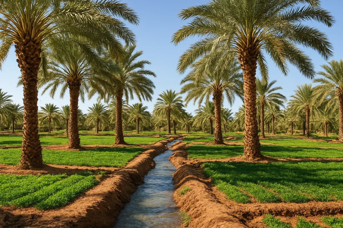
Date palms and small farms grow around a spring in the Sahara, but the surrounding land is bare desert. What does this vegetation pattern show?
Salt-tolerant shrubs grow around a dry lakebed where white crusts form on the soil. What climate condition does this suggest?
The largest oil and gas fields of Southwest Asia cluster around the Persian Gulf rather than spreading evenly across the region. What accounts for this pattern?
Libya and Algeria have major oil and natural gas fields in sedimentary basins, not evenly under all mountains and deserts. Why are those basins important?
Large phosphate deposits in Morocco and Western Sahara are concentrated in particular rock layers. What explains that resource pattern?
Deep aquifers under parts of the Sahara hold water that is not replaced quickly by today's rainfall. Why is this groundwater there?
The Sahara and Arabian deserts have strong potential for solar energy. What physical factor best explains this resource?
Oases are not spread evenly across deserts; they occur where water can reach the surface. What usually controls their location?
Qatar's huge natural gas field lies in the Gulf area with other petroleum resources. What geologic condition helps explain its location?
Egypt receives little rain, yet the Nile carries water gathered far away in wetter highlands. What is a river like this called?
A dry streambed in Saudi Arabia stays empty most of the year but can carry a flash flood after a storm. What is this feature called?
A Gulf city meets much of its urban water demand by removing salt from seawater. What water-supply process is this?
A desert project pumps groundwater that fell as rain thousands of years ago and is being used faster than it is replaced. What is that water called?
Farmers in a dry valley use canals and pipes to bring river or well water to their fields. What water-use term does this describe?
A settlement grows where a spring or well supports palms and gardens in the middle of desert. What is this water-supported place called?
Coastal Libya and low interior Libya lie at similar latitudes, but the coast receives more winter rain. What best explains the difference?
At similar latitudes in Morocco, the north-facing Atlas slopes are wetter than the Sahara side. What causes this rainfall difference?
Turkey's Black Sea coast is much wetter than the interior plateau at similar latitudes. What physical process explains this contrast?
Southwest Saudi Arabia's Asir highlands receive more rain than the nearby Red Sea coastal plain at similar latitude. What is the main reason?
Russia, the Caucasus and Central Asia: Government, Economy and Development
30 questions
Russia, the Caucasus and Central Asia: Issues and Current Challenges
25 questions
Southwest Asia and North Africa: Physical Geography and Landforms
30 questions
Southwest Asia and North Africa: Physical Features and Map Location
40 questions
Southwest Asia and North Africa: Countries, Capitals and Map Location
Crack the passcode before the zombies get in.
Answer, then swat bugs for bonus points.
Race through questions at your own speed.
Same question on every screen. Fastest wins.

Pick a tile, answer, hit bonuses and steals.
22 questions