Loading
by BlastRoom
Landforms, climate zones, vegetation and natural resources of Russia, the Caucasus and Central Asia.
#us_hs_world_geography
35 questions
One question set, multiple game modes. Tap any game to see it in action. Not sure which to pick?
Answer to place stones and capture territory.
Outrun the snow together.
Earn blasts, then hunt the other team.
Answer to earn energy, then climb.

The class blasts through walls together.
Bid on mystery lots. Most money wins.
Sell tours. Nice, standard, or a total scam.

Answer, restock, and serve the rush.
More correct answers pulls the rope your way.
Answer, then shoot down the alien wave.
Answer, then tap to leap the frozen ridge.
A huge, swampy lowland lies east of the Ural Mountains, and the Ob and Irtysh rivers cross it on their way north to the Arctic Ocean. Which landform is described?
East of the Yenisei River, Siberia rises into a broad, flat-topped upland cut by deep valleys. What is this landform?
A north-south mountain chain is often used as the boundary between European Russia and Asian Russia. Which range is it?
The high range between the Black Sea and the Caspian Sea includes Mount Elbrus and shapes the climate of Georgia and Azerbaijan. Name the landform.
South and east of the Aral Sea, the Amu Darya and Syr Darya cross a broad lowland of deserts and irrigated oases. What is this lowland called?
The Volga River flows into a landlocked saltwater body that lies below sea level between Russia, the Caucasus, and Central Asia. Which feature is it?
A deep rift lake in southern Siberia holds more freshwater than any other lake on Earth. Which landform is being described?
In Tajikistan near Afghanistan, China, and Kyrgyzstan, very high mountains form part of the “Roof of the World.” Which range is this?
A glacier-covered range along Kyrgyzstan and Kazakhstan feeds rivers that flow into Central Asian basins. Which landform is described?
Along Russia’s Arctic coast, summers are short and chilly, winters are long and dark, and permafrost keeps the ground frozen. Which climate zone fits?
An interior Siberian city far from oceans has extremely cold winters, short warm summers, and light precipitation. What climate zone does this show?
A city near the Volga has cold snowy winters, warm summers, and precipitation in every season. How should its climate be classified?
Central Kazakhstan has hot summers, cold winters, grassland cover, and only about 10 to 20 inches of precipitation a year. Which climate zone is indicated?
In the Kara-Kum and Kyzylkum deserts, summers are very hot, winters can be cold, and yearly rainfall is often under 8 inches. What climate is this?
On the Greater Caucasus, temperature drops with elevation, snow remains near high peaks, and rainfall varies sharply from slope to slope. Which climate zone fits?
Russia’s Black Sea coast near Sochi has mild wet winters, warm humid summers, and mountains that block colder inland air. What climate zone is this?
Near the northern Caspian Sea, rainfall is low, summers are hot, winters are cold, and grasses mix with dry scrub. Which climate zone best fits?
Near Vladivostok, winters are cold and relatively dry, while summers are warmer and wetter because of seasonal winds from the Pacific. What climate is indicated?
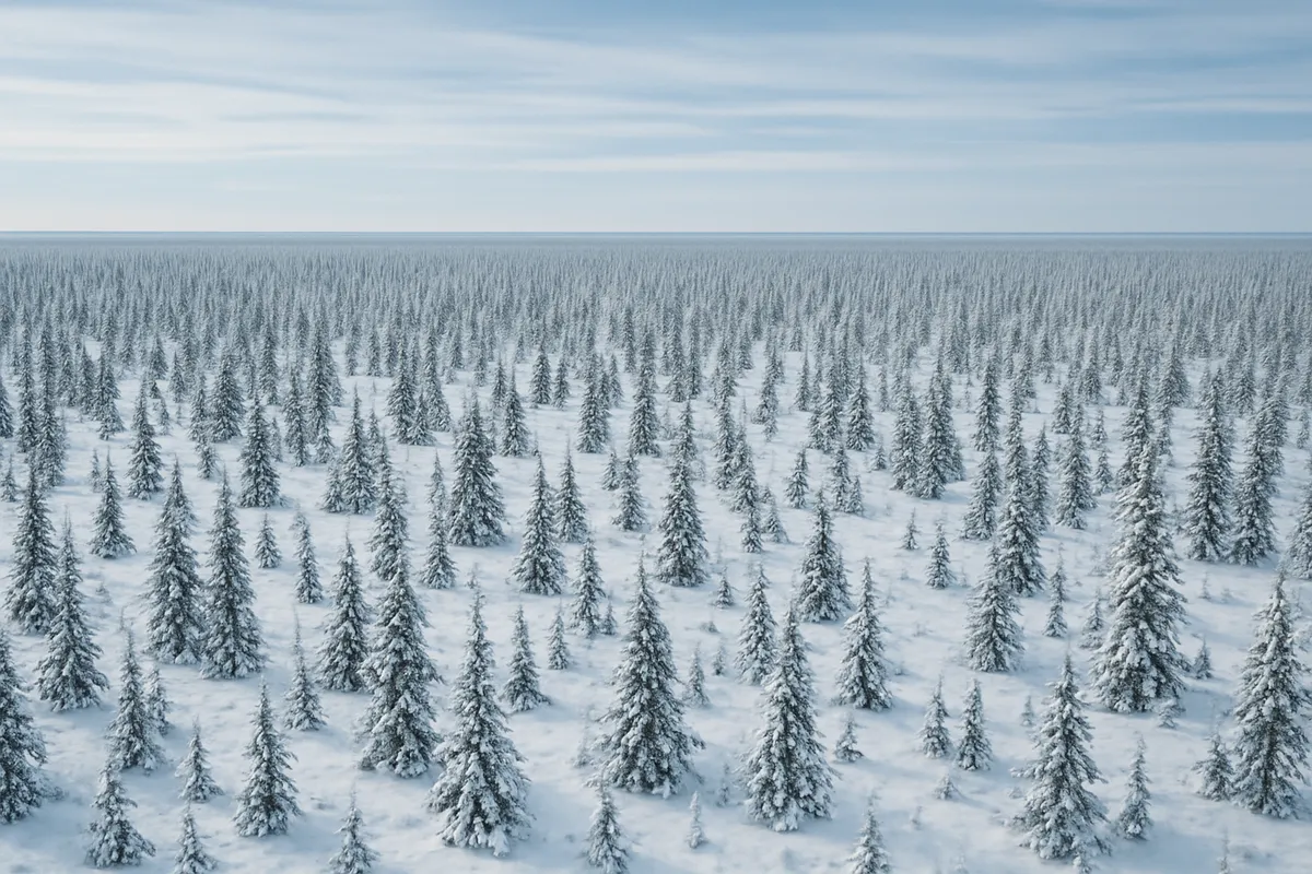
Mosses, lichens, and dwarf shrubs grow over permafrost near the Arctic Ocean, but tall trees cannot root there. Which vegetation belt is this?
Across much of Siberia, spruce, fir, pine, and larch form a cold-climate coniferous forest south of the tundra. What belt is described?
In western Russia, broadleaf trees and conifers grow together between the boreal forest and the open grasslands. Which vegetation belt is this?
South of Russia’s forest belt, treeless grasses grow on deep black chernozem soils that are widely used for wheat farming. Which belt is this?
Around the Caspian and Aral basins, grasses thin into sagebrush and salt-tolerant shrubs as rainfall decreases. Which vegetation belt fits?
In the Kara-Kum and Kyzylkum, scattered saxaul shrubs and brief spring plants survive long dry seasons. Which vegetation type is this?
Above the tree line in the Caucasus and Tien Shan, short summer grasses and wildflowers are grazed by sheep and goats. Which belt is described?
Along the Amu Darya and Syr Darya, narrow floodplain corridors support poplar, willow, and reed communities in an otherwise dry region. Which belt is this?
Offshore platforms in the Caspian Sea and pipelines from Azerbaijan move a liquid fossil fuel to export markets. Which resource is this?
Turkmenistan exports a fuel from large desert fields through pipelines to other countries, where it is burned for heat and electricity. Which resource is it?
Kazakhstan leads the world in mining this mineral, much of it by pumping solutions into underground ore beds, and sells it on world markets. Which resource is described?
Kyrgyzstan's Kumtor mine, high in the Tien Shan, produces the metal that is the country's leading export. Which resource is this?
In Uzbekistan's irrigated oases, a water-hungry crop has long been grown for export to textile mills. Which resource is it?
Norilsk in Arctic Siberia processes sulfide ores for a metal used in stainless steel and rechargeable batteries. Which resource is exported?
In Sakha, or Yakutia, mines at Mirny and Udachny dig into kimberlite pipes formed from deep volcanic rock. Which resource do they produce?
The Kuznetsk Basin in southern Siberia ships a black fossil fuel used in power generation and steelmaking. Which resource is described?
Mines in the Caucasus highlands produce ore for a reddish metal widely used in electrical wiring. Which resource is this?
Crack the passcode before the zombies get in.
Answer, then swat bugs for bonus points.
Race through questions at your own speed.
Same question on every screen. Fastest wins.

Pick a tile, answer, hit bonuses and steals.
Russia, the Caucasus and Central Asia: Countries, Capitals and Map Location
27 questions