Loading
by BlastRoom
Students identify Northeast states, landforms, climate, resources, and work.
#geography#us_grade_4_social_studies
40 questions
One question set, multiple game modes. Tap any game to see it in action. Not sure which to pick?
Answer to place stones and capture territory.
Outrun the snow together.
Earn blasts, then hunt the other team.
Answer to earn energy, then climb.

The class blasts through walls together.
Bid on mystery lots. Most money wins.
Sell tours. Nice, standard, or a total scam.

Answer, restock, and serve the rush.
More correct answers pulls the rope your way.
Answer, then shoot down the alien wave.
Answer, then tap to leap the frozen ridge.
A class sorts state cards into U.S. regions. Among Alabama, Ohio, Oregon, and Maine, which state belongs to the Northeast?
A long mountain range runs through Pennsylvania, New York, Vermont, and Maine. What mountain range is this?
Cold Atlantic waters lie beside much of the Northeast coast. What work has this natural resource supported for many communities?
Deep natural harbors along the Northeast coast gave ships safe places to load and unload. What was one result for nearby cities?
In an atlas activity, students compare Iowa, Georgia, Arizona, and New Hampshire. Which state should be placed in the Northeast group?
A climate chart compares the Northeast with the Southwest. Which climate pattern is more typical of the Northeast?
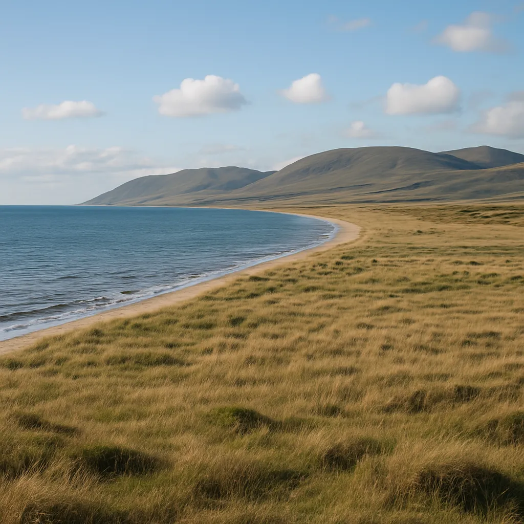
Along parts of the Northeast, low, flat land lies beside the ocean. What landform is this?
Forests and deep harbors gave early Northeast workers wood and sheltered shores. What did these resources help workers build?
Because the Appalachian Mountains made some inland travel difficult, early routes often followed what easier paths?
A geography game names Nevada, Tennessee, Indiana, and Vermont. Which state is one of the Northeast states?
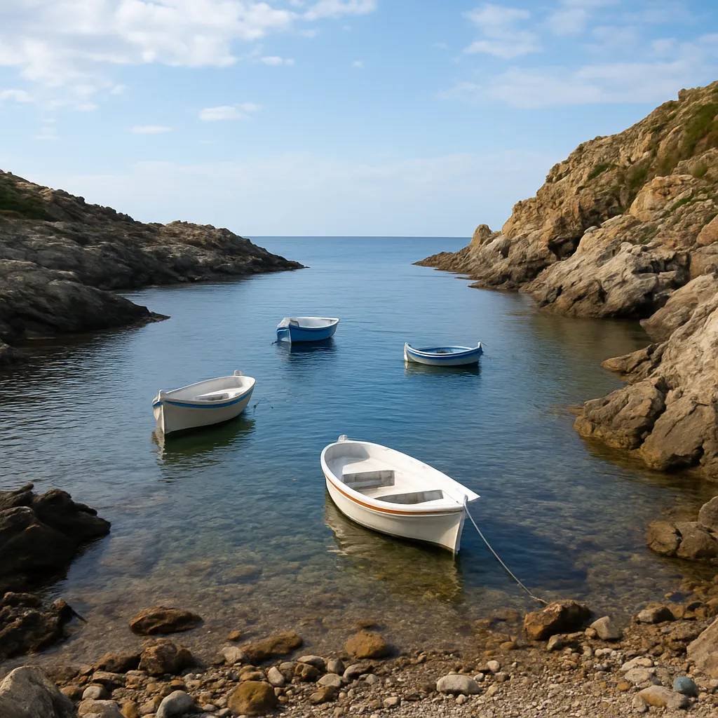
A coastal photo shows a protected area where ocean water reaches land and boats can dock near a rocky shore. What physical feature is described?
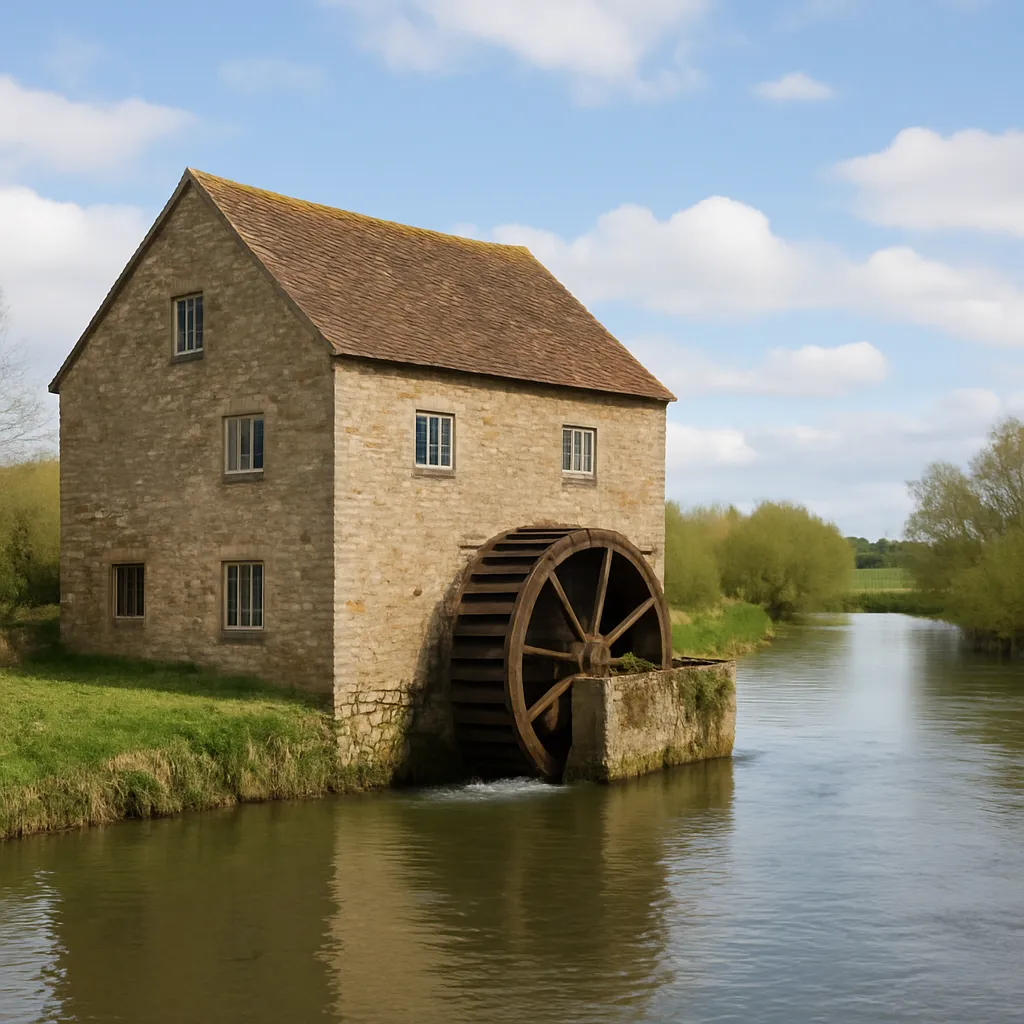
Fast-moving rivers in the Northeast powered early mills. What kind of work grew around many mills?
Because Northeast winters can be snowy, towns plan for what public service need?
Students sort Florida, Missouri, Utah, and Massachusetts by region. Which state belongs in the Northeast group?
Cape Cod curves out into the Atlantic Ocean from the Massachusetts coast, with water on most sides. What kind of landform is this?
Strong winter storms often sweep up the Northeast coast with heavy snow, rain, and high winds. What are these storms called?
Ships from Europe once brought millions of immigrants into New York Harbor. What island station in the harbor checked in many of them?
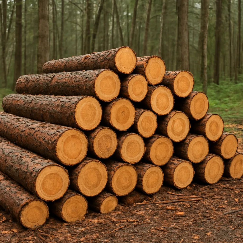
Northeast loggers cut trees, and new trees are planted to grow in their place. What kind of resource is a forest?
A teacher names Idaho, Louisiana, North Dakota, and Rhode Island. Which state is part of the Northeast region?
A vegetation guide for the Northeast describes forests with maple, oak, and birch trees. What vegetation is being described?
Some trees in cold Northeast forests give sweet sap in early spring. What product do workers make from that resource?
Because the coastal plain is lower and flatter than nearby mountains, what could develop more easily there?
Among Kansas, Alabama, New Mexico, and Connecticut, which state is included in the Northeast region?
Compared with the Midwest's broad interior plains, the Northeast coast has what feature that helped ocean trade?
On the border of New York and Canada, a huge waterfall drops between Lake Erie and Lake Ontario. What physical feature is this?
Visitors travel to Northeast coasts, forests, mountains, and historic cities. What service industry does this support?
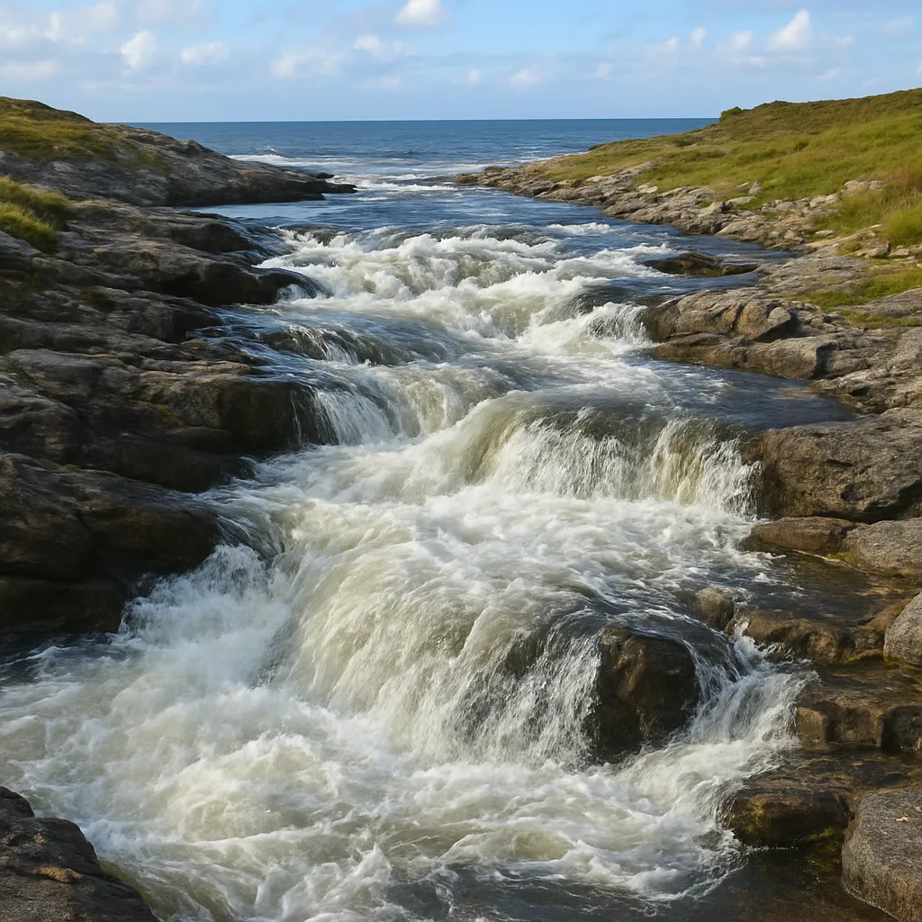
Because many Northeast rivers drop from higher land toward the coast, their moving water once helped do what?
A classroom map lists Michigan, Texas, South Carolina, and New York. Which state belongs to the Northeast?
A large island stretches east from New York City into the Atlantic Ocean. What is it called?
Small farms in parts of the Northeast often grow fruit suited to cool seasons. What crop is a good example?
Because rocky coves and bays protected boats from rough ocean water, fishermen could do what more safely?
A student compares Kentucky, Illinois, Colorado, and New Jersey. Which state should be placed in the Northeast region?
A chart compares farm products of the Northeast and Southeast. Which crop, grown in wet bogs in Massachusetts and New Jersey, is especially linked to the Northeast?
A map key marks the hilly, rolling land between the coastal plain and the Appalachian Mountains in Pennsylvania and New Jersey. What landform would the key likely name?
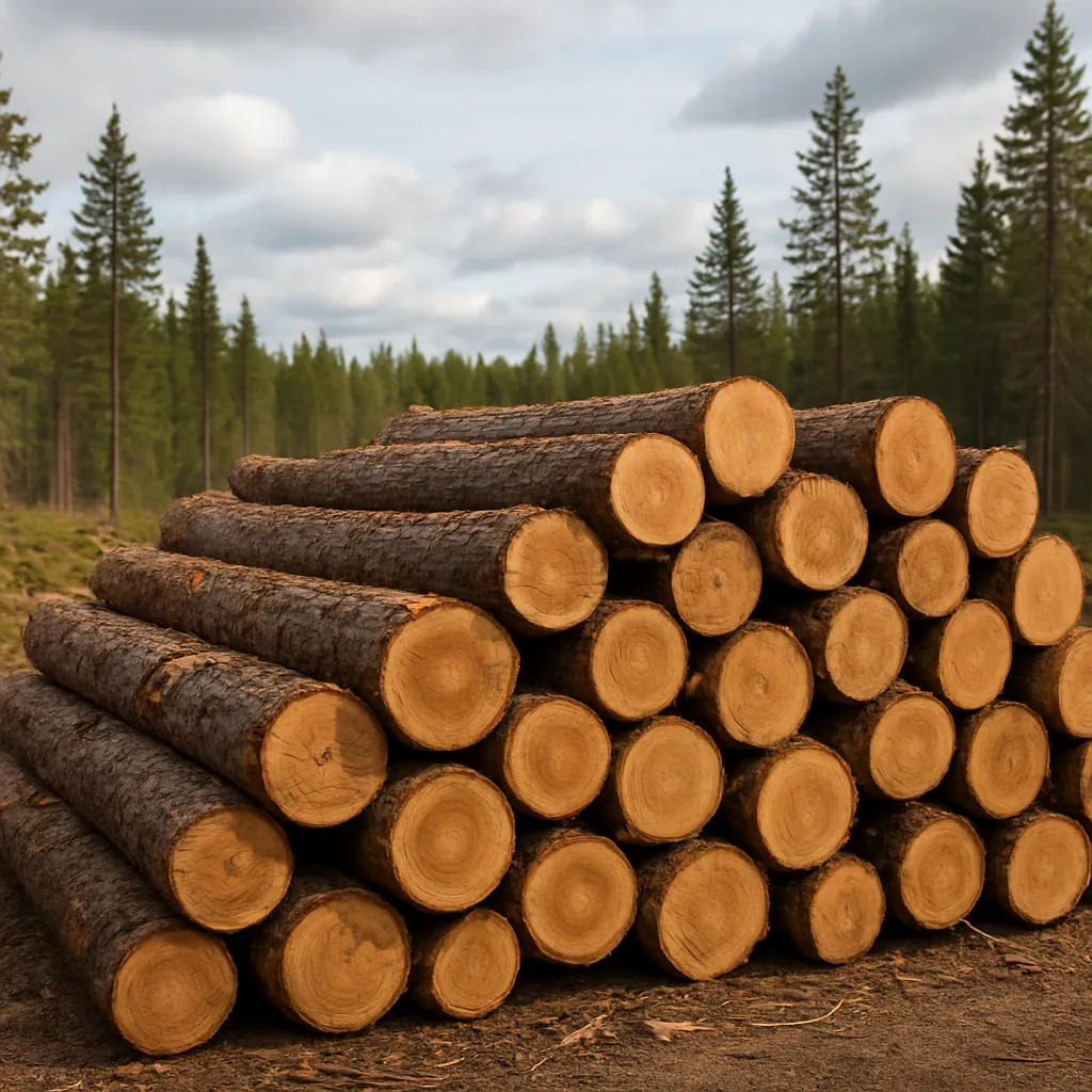
Northern forests are a renewable resource used by some Northeast industries. What product can be made from timber?
Because the Northeast borders the Atlantic Ocean, merchants could connect with other places mainly by what route?
Among Georgia, Wisconsin, Oklahoma, and Pennsylvania, which state is part of the Northeast region?
In northern Maine and high in the Northeast mountains, many forests are made of spruce and fir trees that keep their needles all winter. What kind of forest is this?
A student says Ohio is part of the Northeast because it borders Pennsylvania. Is that correct?
The highest peak in the Northeast rises in the White Mountains of New Hampshire and is famous for its strong winds. What is this peak?
Crack the passcode before the zombies get in.
Answer, then swat bugs for bonus points.
Race through questions at your own speed.
Same question on every screen. Fastest wins.

Pick a tile, answer, hit bonuses and steals.
The Midwest Region
40 questions