Loading
by BlastRoom
Identify Midwest states, landforms, climate, resources, and work.
#geography#us_grade_4_social_studies
40 questions
One question set, multiple game modes. Tap any game to see it in action. Not sure which to pick?
Answer to place stones and capture territory.
Outrun the snow together.
Earn blasts, then hunt the other team.
Answer to earn energy, then climb.

The class blasts through walls together.
Bid on mystery lots. Most money wins.
Sell tours. Nice, standard, or a total scam.

Answer, restock, and serve the rush.
More correct answers pulls the rope your way.
Answer, then shoot down the alien wave.
Answer, then tap to leap the frozen ridge.
A class sorts states into U.S. regions. In the Midwest group, should Kansas, Arizona, Nevada, or New Mexico be placed there?
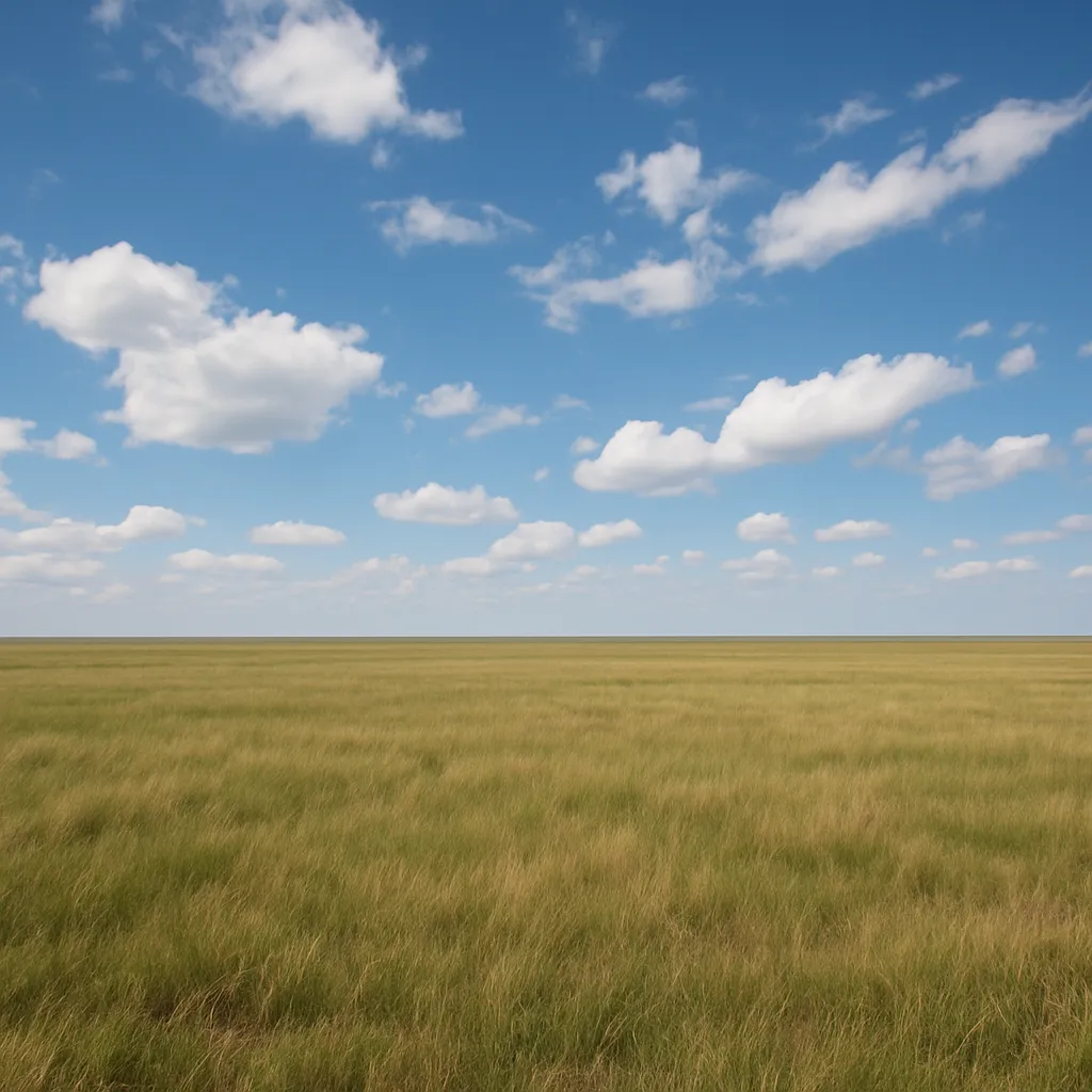
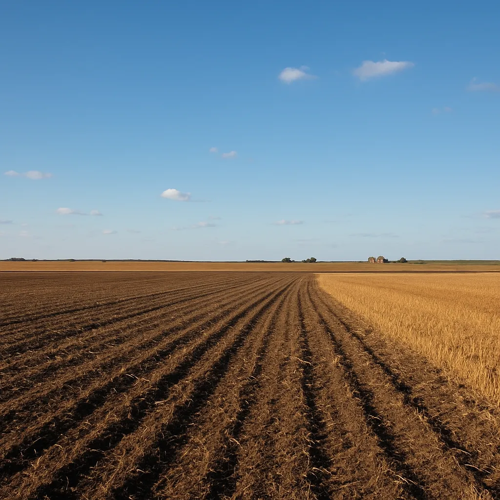
A physical map of the Midwest shows broad, flat land stretching west of Iowa and Missouri. What landform is this?
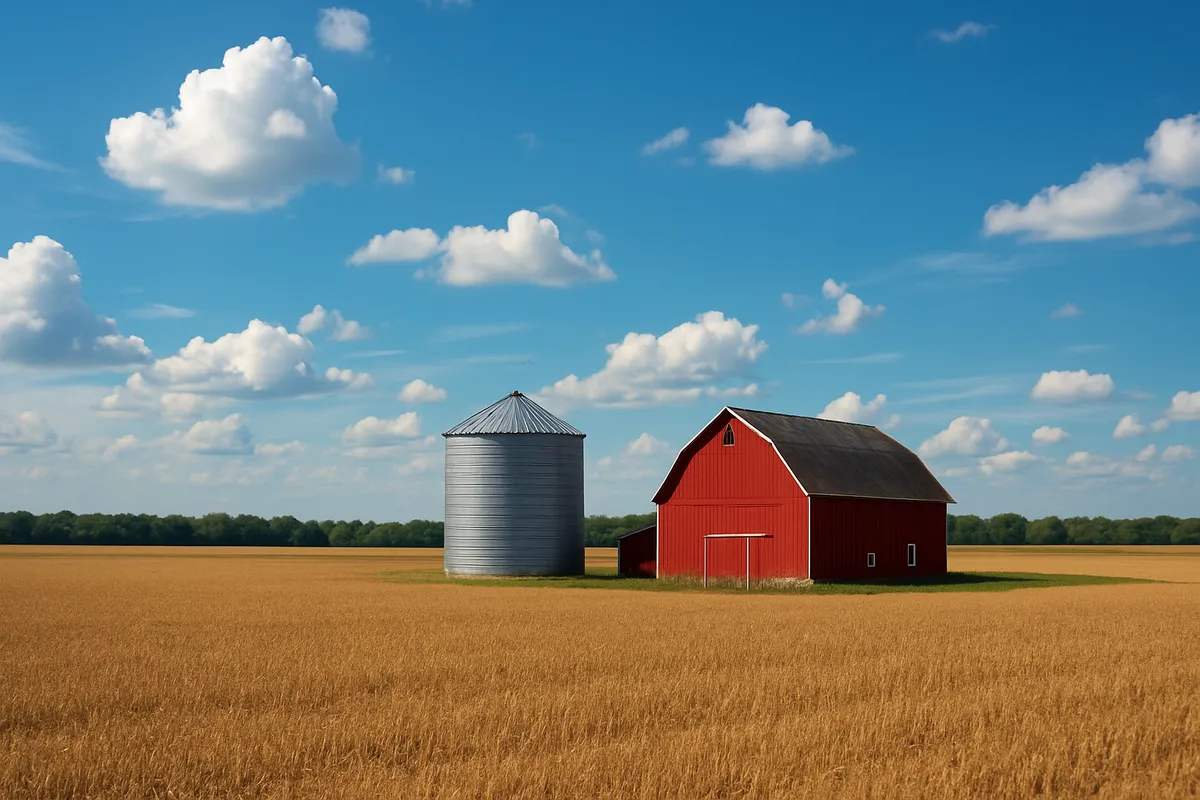
A farm report from Iowa describes tall stalks with ears used for food, animal feed, and fuel. What crop is being described?
Because prairie soils in much of the Midwest are deep and fertile, what work did the land support?
A student is naming Midwest states. Is Missouri, Tennessee, Arkansas, or Georgia the Midwest state in that list?
A travel journal describes the natural plants that covered much of Iowa and Illinois before farms were built. What kind of vegetation does it describe?
A livestock chart for the Midwest lists animals often raised for meat. What animals fit that regional work?
The Great Lakes connect many Midwestern cities. What activity did these lakes make easier?
A teacher asks for one Midwest state from a list. Should the answer be North Dakota, Montana, Idaho, or Oregon?
What landform contrast between the Midwest and the West is accurate?
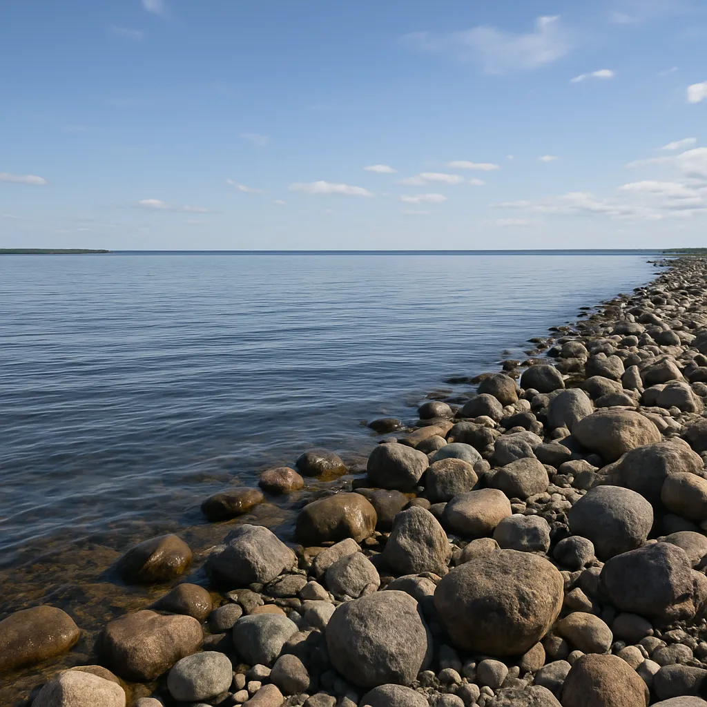
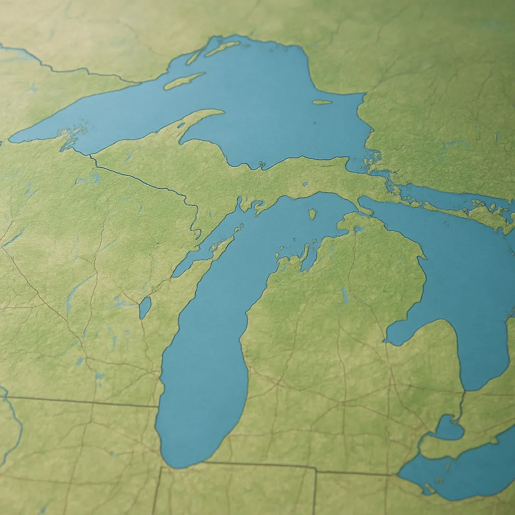
Near Michigan and Wisconsin, a map shows huge connected freshwater lakes along the Midwest's edge. What physical feature is shown?
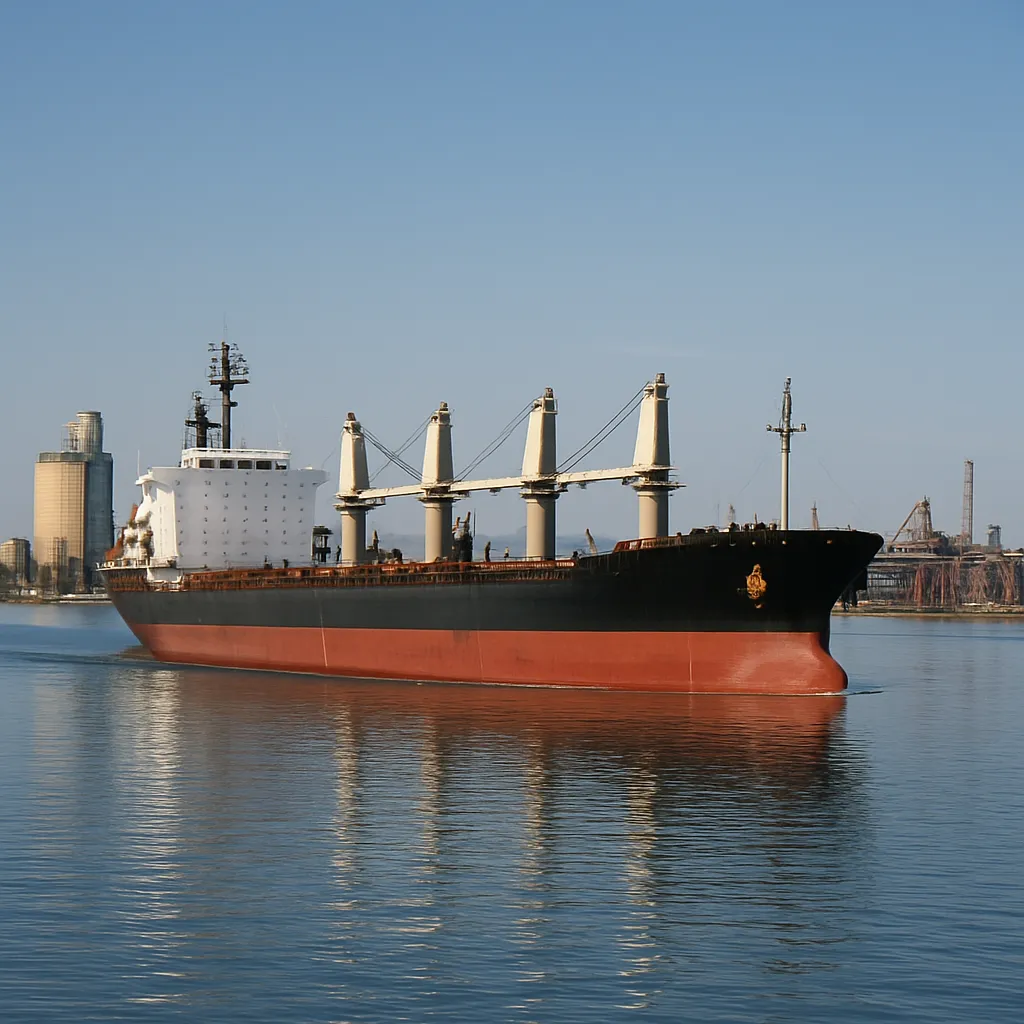
A port report lists the cargo on Midwestern lake freighters. What goods are commonly shipped on the Great Lakes?
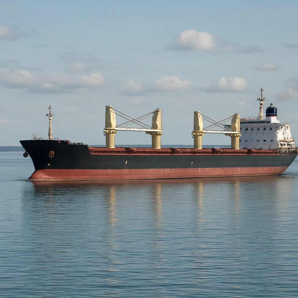
The Missouri and Ohio rivers run through or along parts of the Midwest. What did river locations help settlements do?
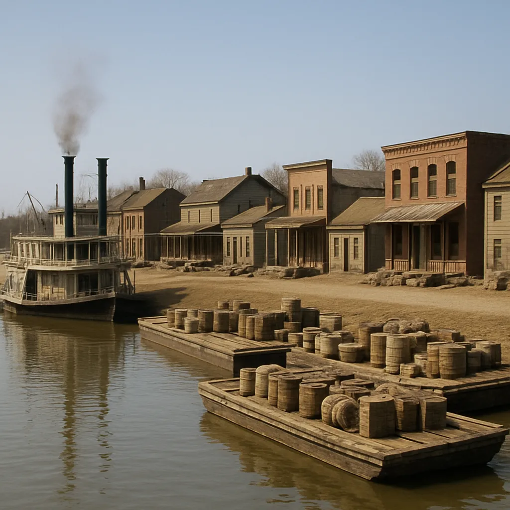
A regional worksheet asks for a Midwest state. In the list Michigan, Pennsylvania, Virginia, and North Carolina, what is the correct state?
A soil sample from a former prairie farm is dark and rich. What helped build this soil over thousands of years?
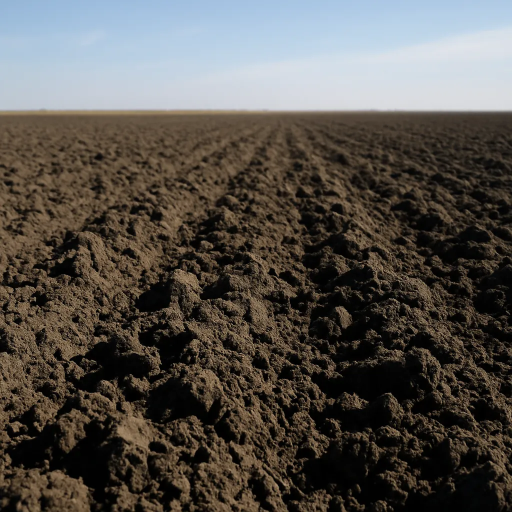
A factory in Illinois builds tractors and combines. What Midwest industry is this an example of?
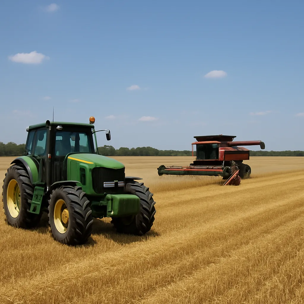
Much of the Great Plains is flat and open. What did that geography make easier for Midwestern farmers?
A student chooses between Illinois, New York, New Jersey, and Maine for the Midwest group. What state belongs there?
A climate summary describes the weather in Minnesota and Ohio across a whole year. What climate pattern fits much of the Midwest?
How do winters in the Midwest usually compare with winters in the Southeast?
A crop table for Kansas and North Dakota highlights a grain used in bread and cereal. What crop is important there?
Natural grass once covered large areas of the Midwest. What kind of farm work could that grassland support?
A map activity asks for the Midwest state. Is the best answer Ohio, Maryland, Delaware, or South Carolina?
A river description says it flows past Midwestern places such as Omaha and Kansas City before meeting the Mississippi. What river is it?
An agriculture article says Midwestern farmers grow a crop used for cooking oil, animal feed, and many foods. What crop is it?
Cold winters in the Midwest freeze some lakes and fields. What seasonal activity must communities plan for?
A regional chart has Wisconsin, Vermont, Alabama, and Utah. What state should be placed in the Midwest column?
Along the Midwest's southern edge, a major river forms the southern border of Indiana and Illinois before joining the Mississippi. What river is it?
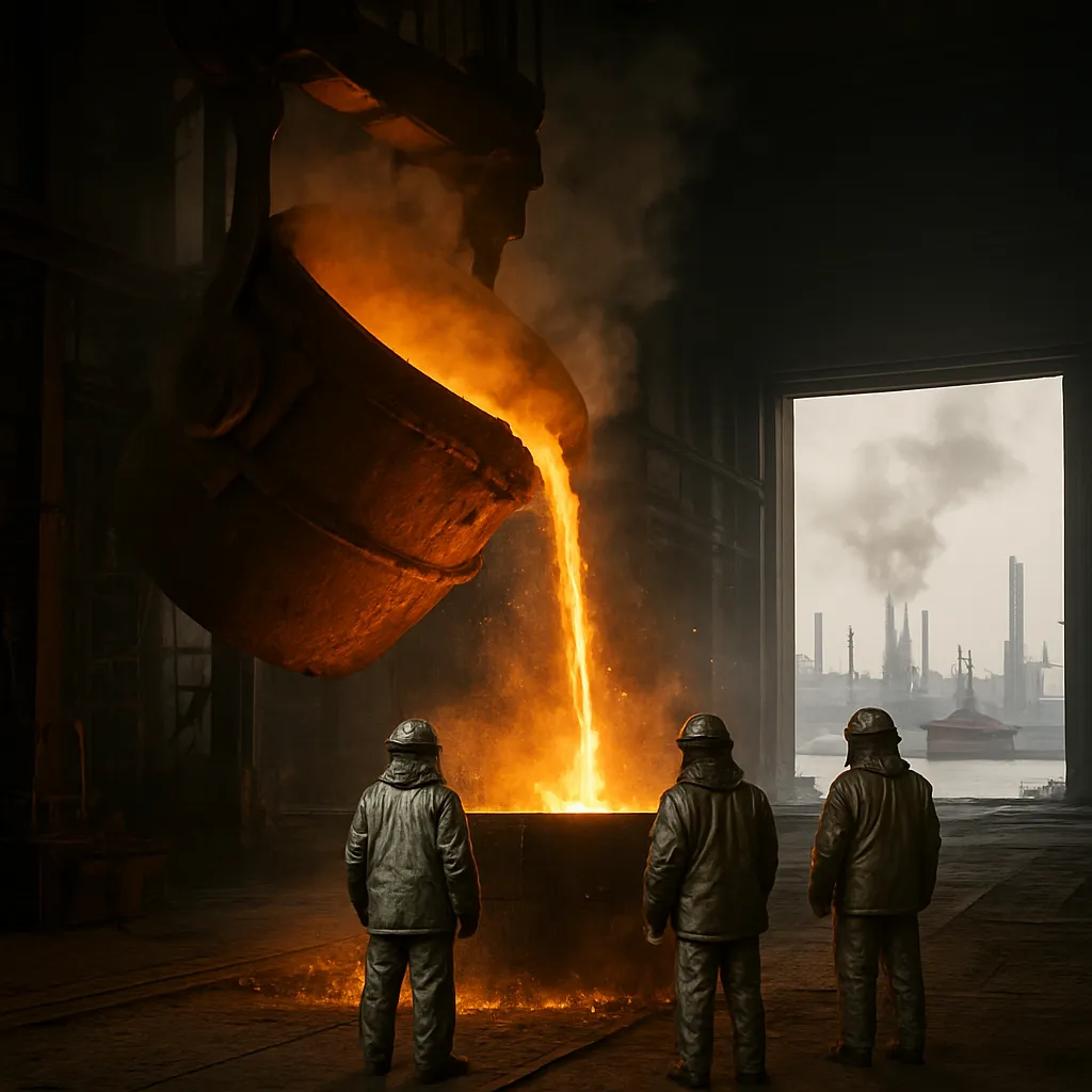
Midwestern plants near Lake Michigan turn iron ore into a strong metal used for buildings, machines, and vehicles. What material are the factories producing?
Compared with the Southwest, the Midwest has more prairie farmland with rainfall. What agriculture contrast fits?
Great Lakes freighters can sail east all the way to the Atlantic Ocean. What waterway connects the Great Lakes to the Atlantic?
A student must choose the Midwest state from Iowa, Rhode Island, Louisiana, and California. What should the student choose?
Low land beside the Mississippi River in Iowa and Illinois is sometimes covered by river water, which leaves rich soil behind. What landform is this?
Wisconsin's cool summers and grassy pastures suit dairy cows, and the state calls itself America's Dairyland. What does Wisconsin produce more of than almost any other state?
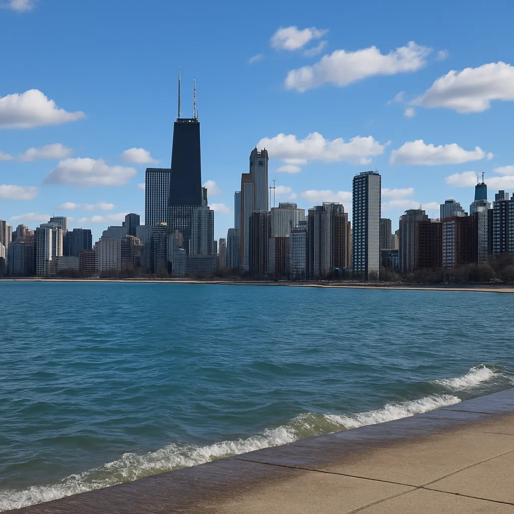
Because Chicago sits near Lake Michigan and flat inland routes, what did its location help it become?
A sorting game lists South Dakota, Wyoming, Colorado, and New Mexico. What state is in the Midwest?
In spring, warm and cold air often meet over the flat plains of the Midwest. What kind of dangerous weather is common there?
Long ago, huge sheets of ice moved across Iowa and Illinois, flattening the land and leaving rich soil. What were these ice sheets called?
A region quiz lists Minnesota, Connecticut, Mississippi, and Alaska. What state is part of the Midwest?
A chart compares how land is used in the Midwest and the Northeast. What land-use contrast is accurate?
Crack the passcode before the zombies get in.
Answer, then swat bugs for bonus points.
Race through questions at your own speed.
Same question on every screen. Fastest wins.

Pick a tile, answer, hit bonuses and steals.
The West Region
40 questions