Loading
by BlastRoom
How the mountains, seas and islands of the Aegean world shaped Greek city-states, in the California Grade 6 ancient civilizations sequence (Standard 6.4).
#geography#us_grade_6_social_studies
20 questions
One question set, multiple game modes. Tap any game to see it in action. Not sure which to pick?
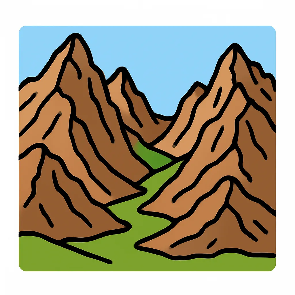
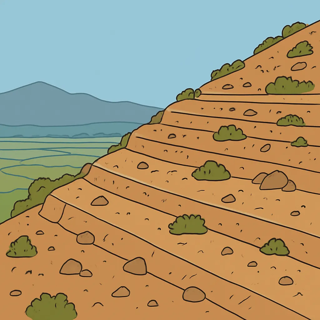
Ancient Greece was covered by steep mountain ranges that cut one valley off from the next. What effect did this landscape have on how the Greeks organized themselves politically?
Greek writers used the word polis for the basic political unit of their world. What did a polis include?
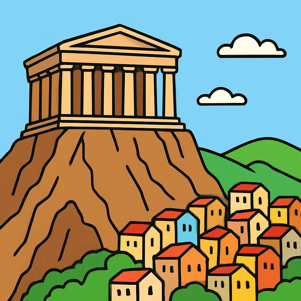
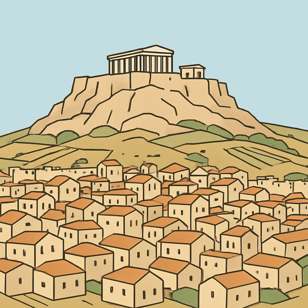
Many Greek city-states were built around a high, rocky hill that held temples and could be defended if enemies attacked. What was this fortified high point called?
In the flat open space at the heart of a Greek city-state, farmers sold produce, traders set up stalls and citizens gathered to talk and hear news. What was this space called?
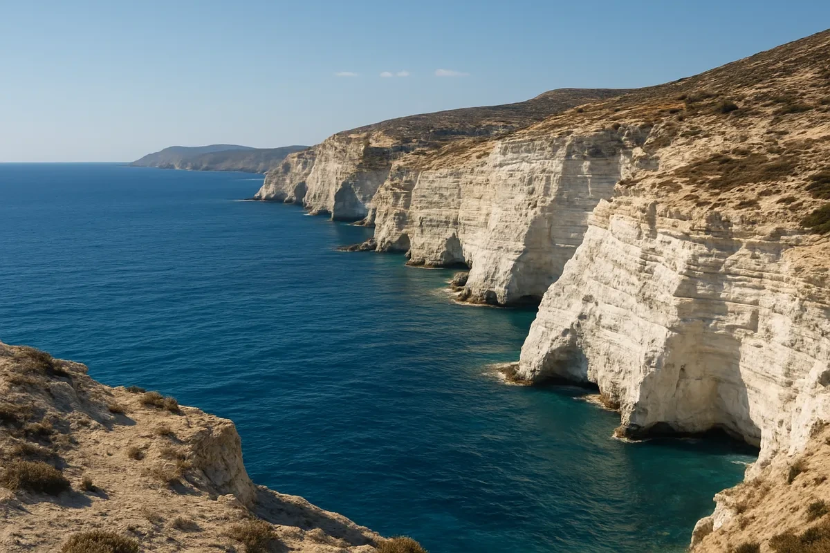
The Aegean Sea lies between the Greek mainland and the coast of Asia Minor, and it is dotted with hundreds of islands.
Overland travel between Greek city-states was quick and easy for traders and armies.
Almost no part of the Greek mainland lies far from the coast, and the shoreline is broken by countless bays and natural harbors. How did the Greeks use this feature of their geography?
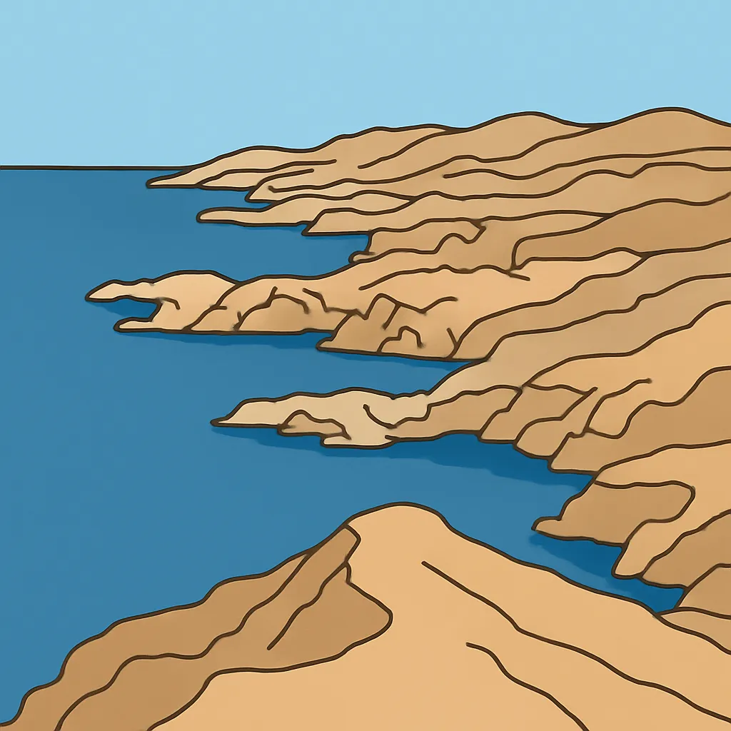
Greek farmland was thin, rocky and hilly, so large fields of grain were hard to grow. Which crops grew well in these conditions and became major Greek products?
A large Greek city-state such as Athens could not grow enough grain on its own land to feed everyone. How did it usually solve this problem?
Between roughly the 700s and 500s BCE, many Greek city-states sent groups of their people overseas to found new settlements. What pressure at home helped cause this movement?
A thematic map titled Greek Settlement Abroad shades Greek colonies in dark green. Every shaded dot sits on a coastline of the Mediterranean or the Black Sea. What does this pattern most strongly suggest?
Which island, lying south of the Aegean Sea, is the largest of the Greek islands and was home to an early civilization before the classical city-states?
The southern part of Greece is a broad peninsula joined to the rest of the mainland only by a narrow neck of land near Corinth. What is a narrow land bridge like this called?
Sparta and Athens sat in very different settings. Sparta grew up in a river valley in the interior of the Peloponnese, ringed by mountains. What did this inland location mean for Sparta?
Athens itself stood a few miles from the water, so its ships and cargoes used a fortified harbor town nearby. What was the name of this port?
Greece has a Mediterranean climate. What weather pattern does that describe?
Two neighboring Greek city-states lay only a day's walk apart. In what important way were they still separate?
Greek hillsides offered little rich soil, but they did supply materials the Greeks used constantly in building and craft work. Which pair of resources came from this rocky land?
Greek city-states fought one another often and had no single ruler, yet Greeks still recognized each other as one people. What helped tie them together?
In the Greek world, what did holding citizenship in a city-state carry with it?
Crack the passcode before the zombies get in.

Pick a tile, answer, hit bonuses and steals.
The Persian and Peloponnesian Wars
20 questions