Loading
by BlastRoom
Find it on the map: the territories, borders, routes, regions and places where American history happened.
#united_states_history

30 questions
One question set, multiple game modes. Tap any game to see it in action. Not sure which to pick?
Answer to place stones and capture territory.
Outrun the snow together.
Earn blasts, then hunt the other team.
Answer to earn energy, then climb.

The class blasts through walls together.
Bid on mystery lots. Most money wins.
Sell tours. Nice, standard, or a total scam.

Answer, restock, and serve the rush.
More correct answers pulls the rope your way.
Answer, then shoot down the alien wave.
Answer, then tap to leap the frozen ridge.
Which acquisition is shaded on the map?
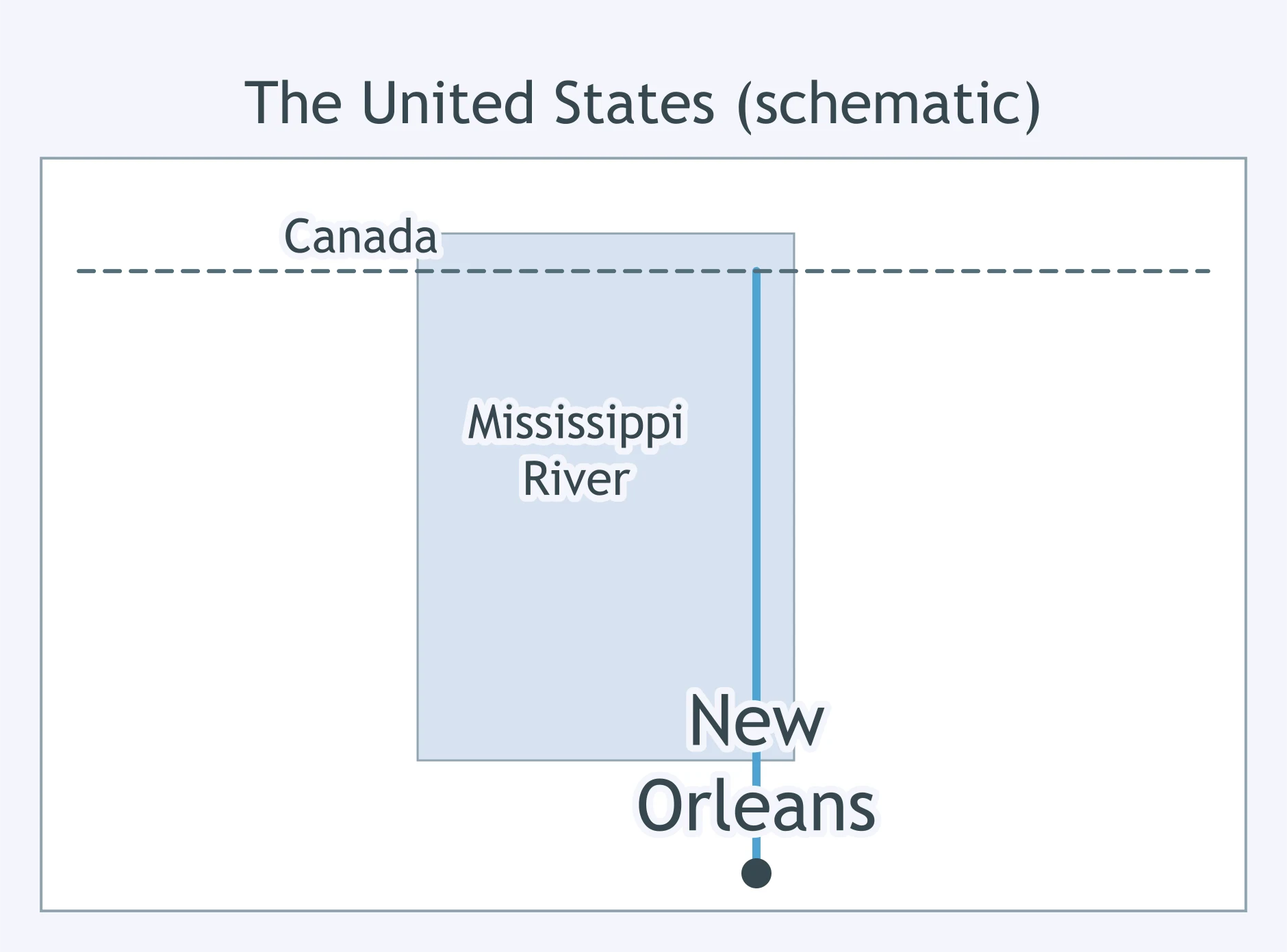
Which territory is shaded on the map?
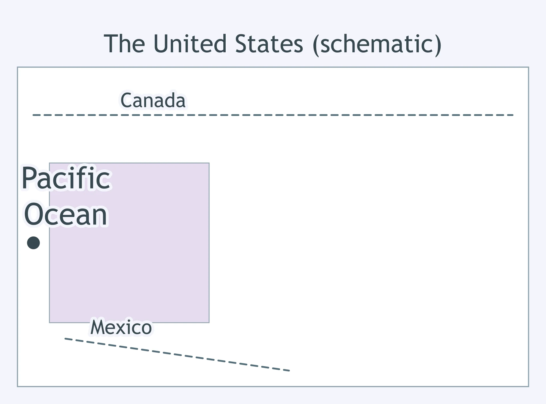
Which region is shaded on the map?
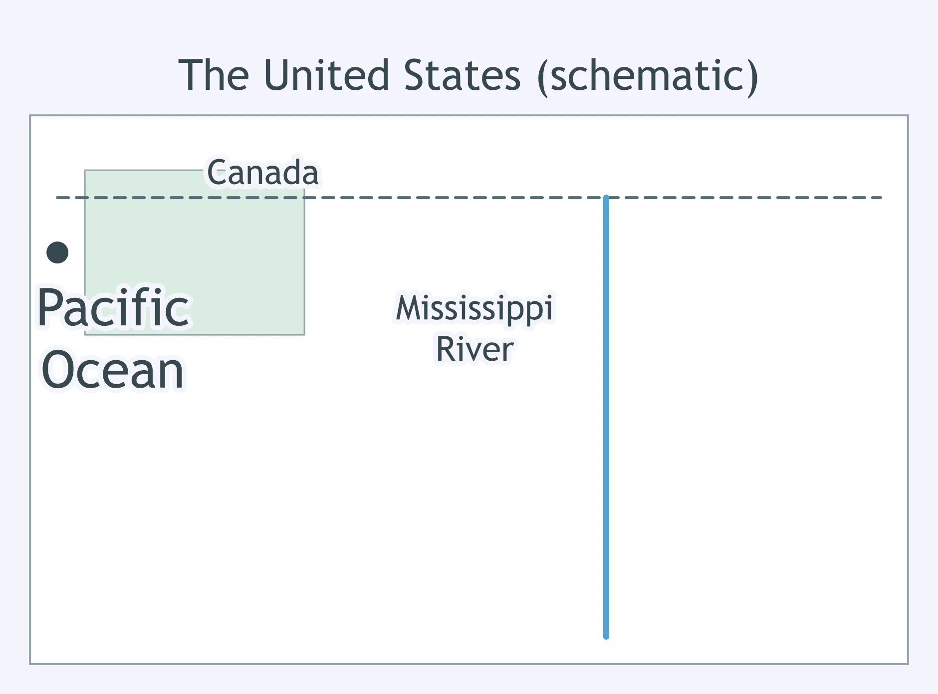
Which addition to the United States is shaded on the map?
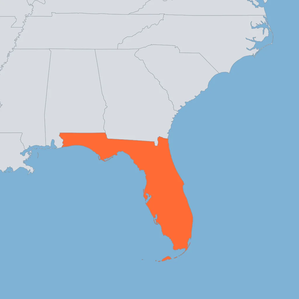
Which purchase is shaded on the map?
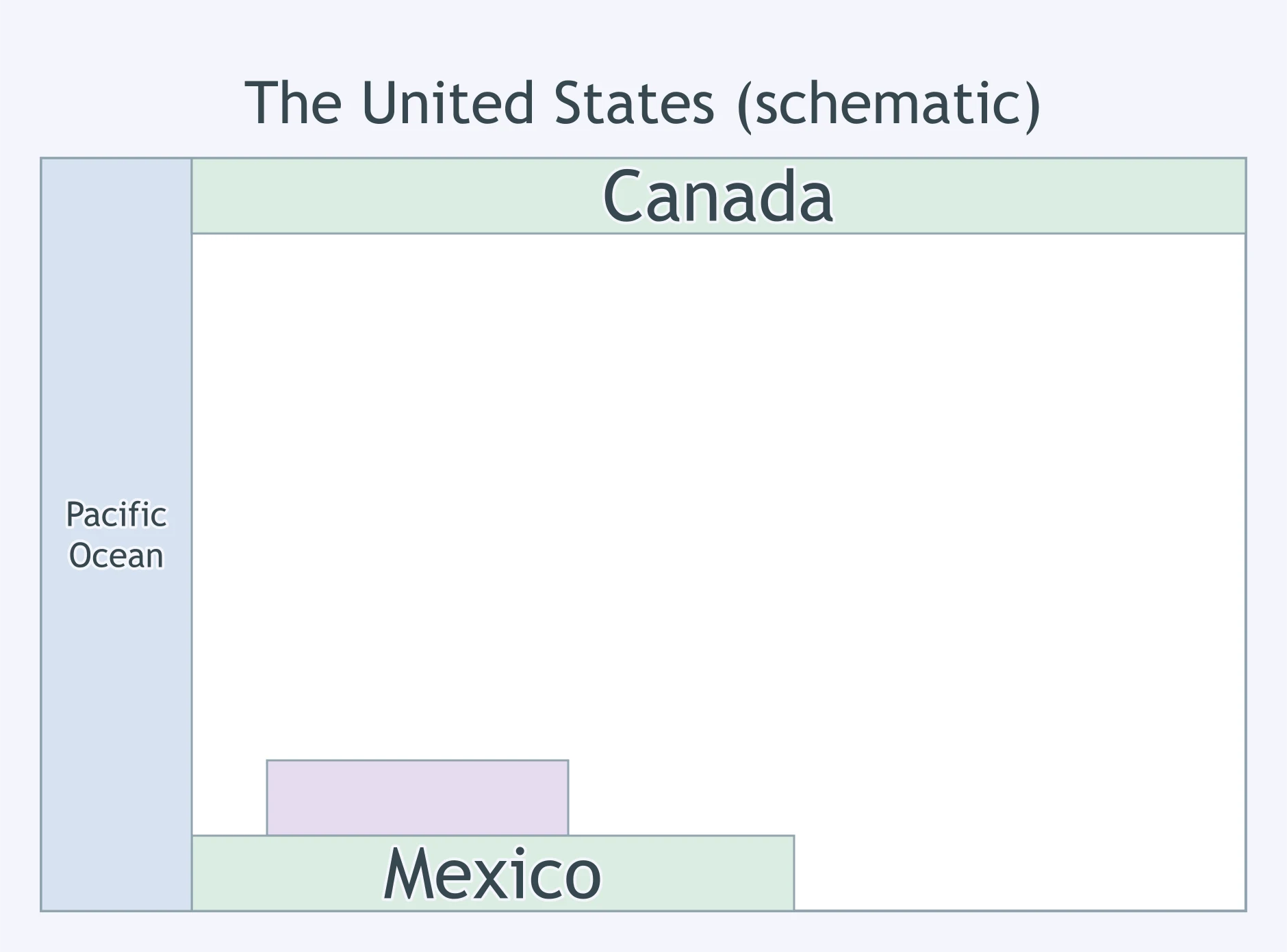
Which waterway is drawn on the map?
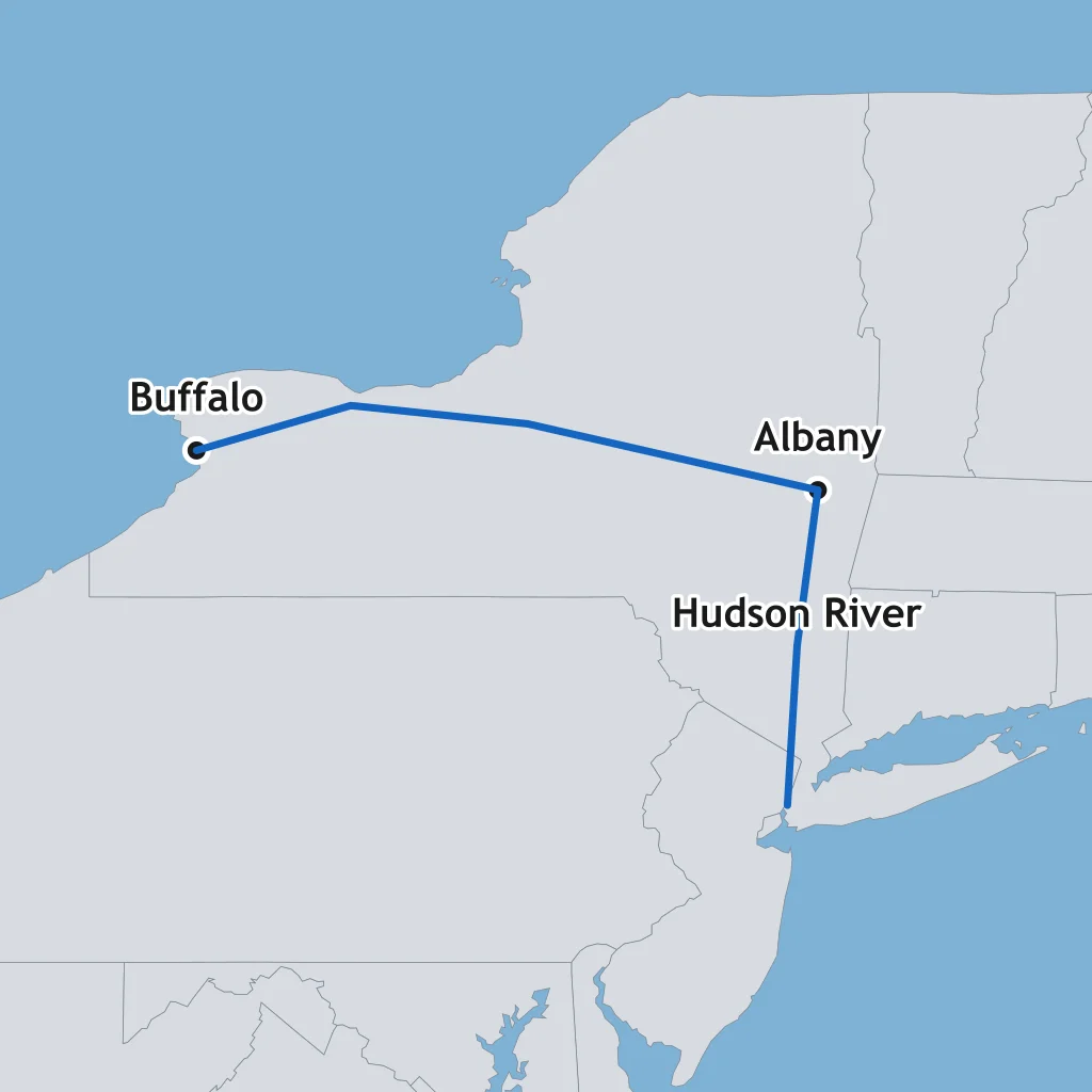
Which boundary is drawn on the map?
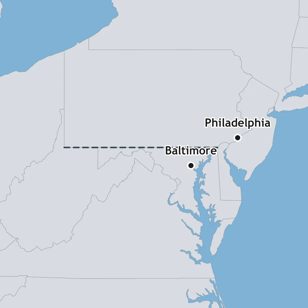
Which overland trail is drawn on the map?
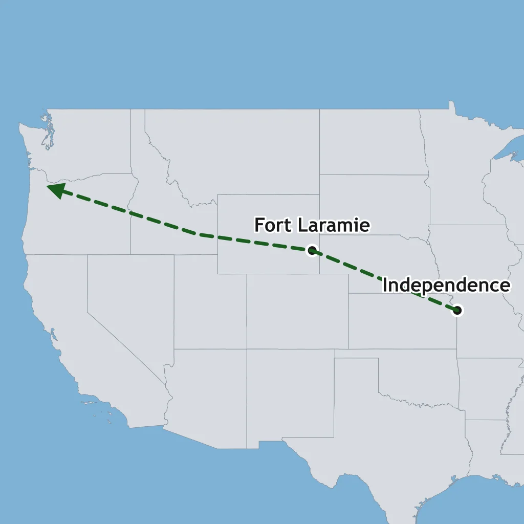
Which route is drawn with arrows on the map?
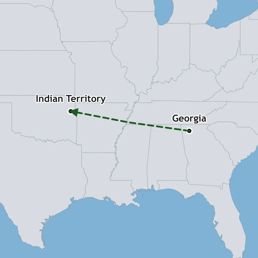
Which rail line is drawn on the map?
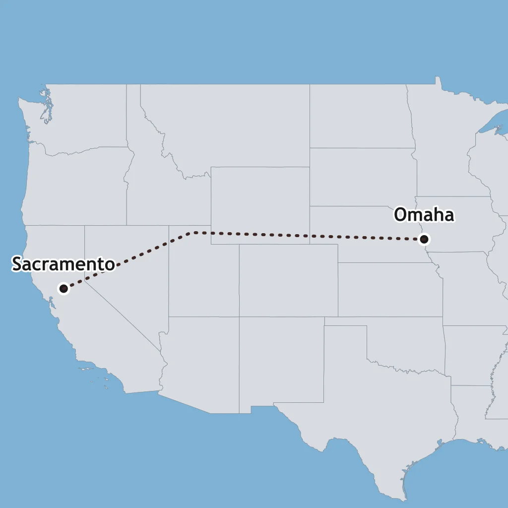
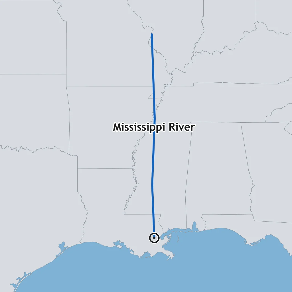
Which port city is marked with a pin on the map?
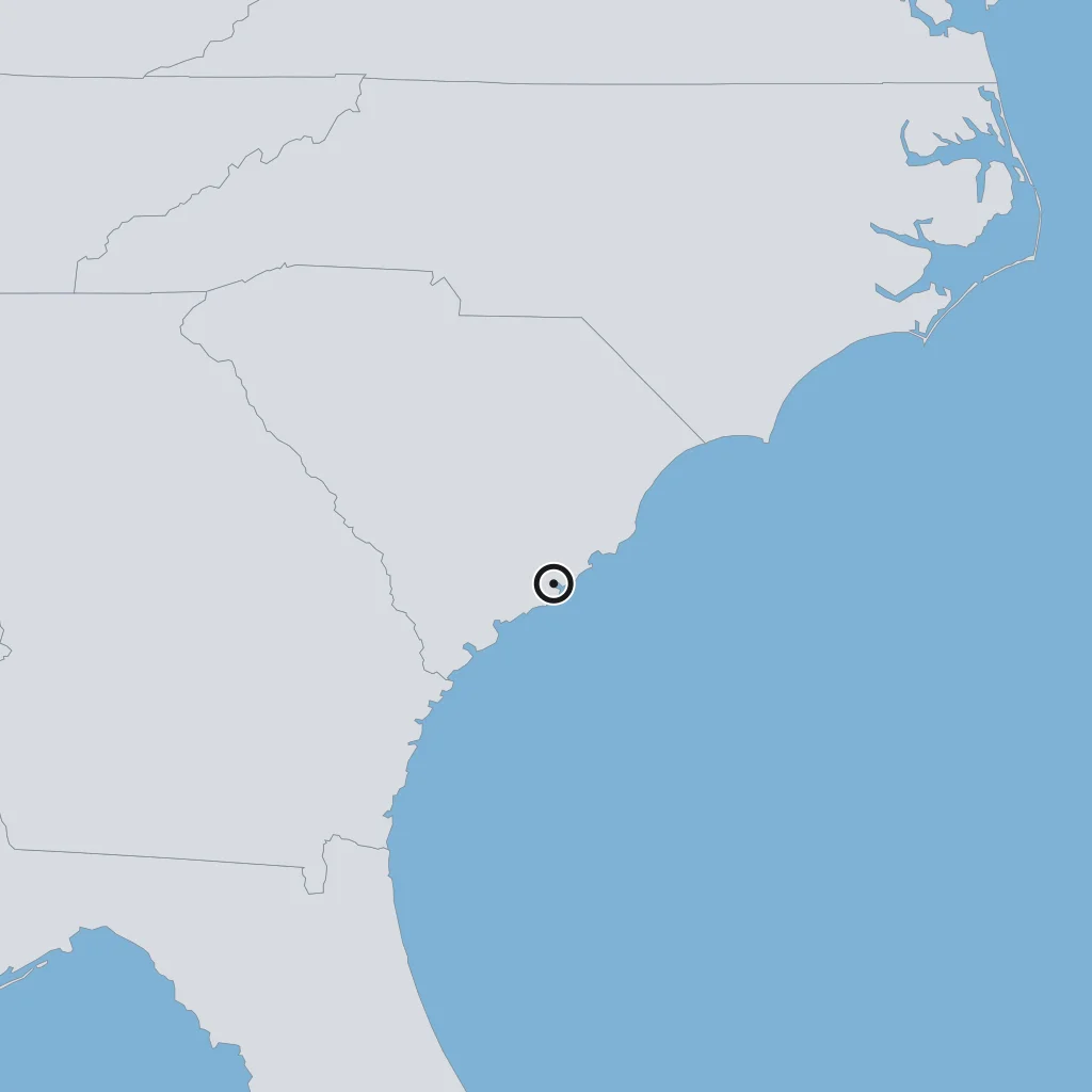
Which harbor city is marked with a pin on the map?
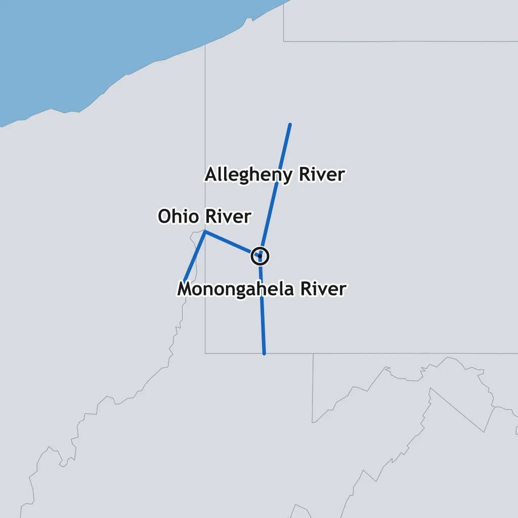
Which city is marked with a pin on the map?
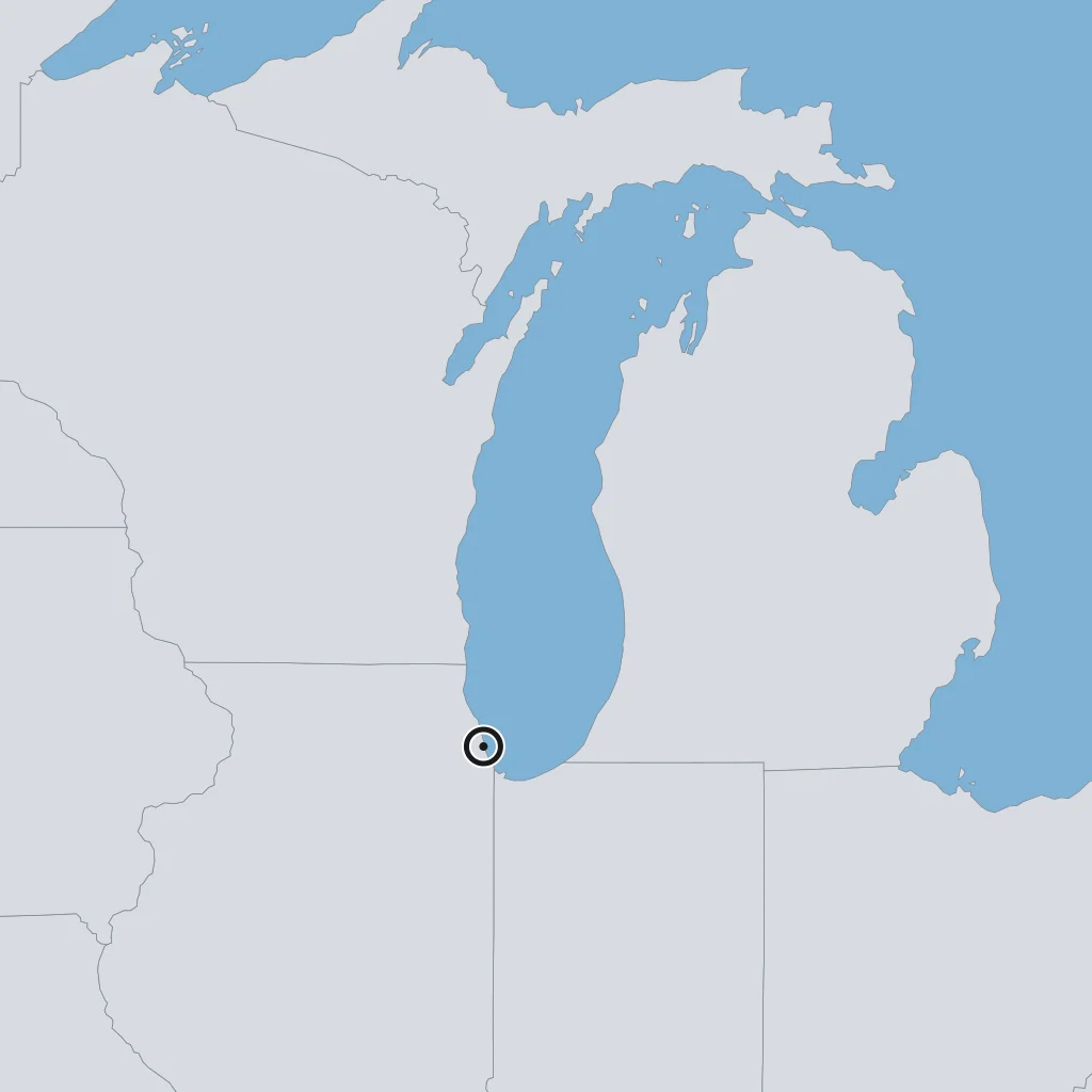
Which city is marked with a pin on the map?
What do the shaded states on the map have in common?
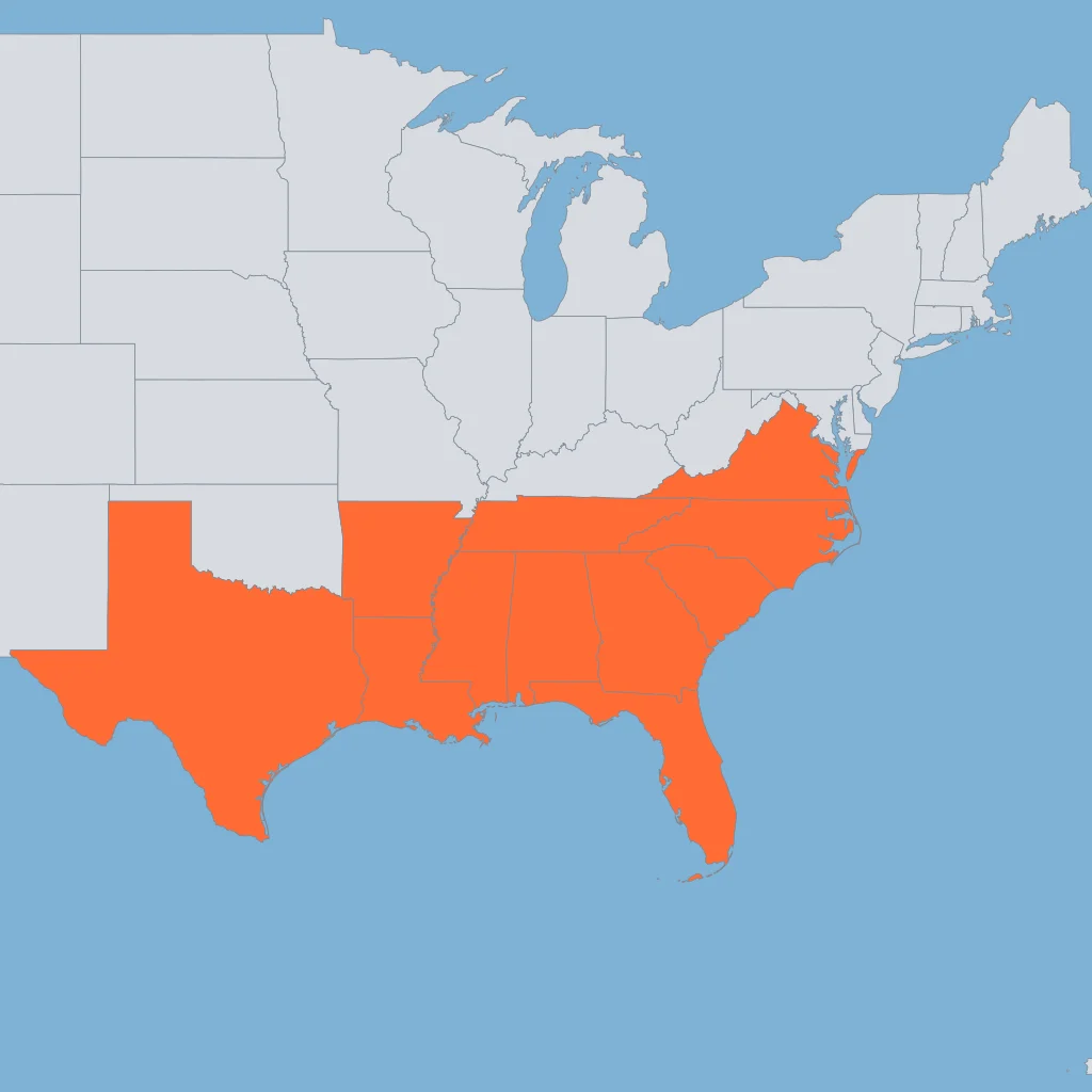
What do the shaded states along the coast have in common?
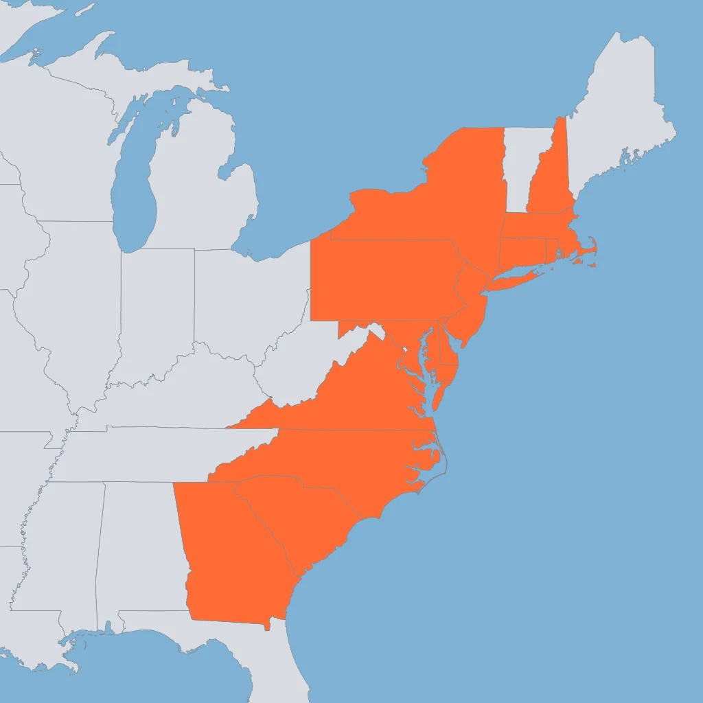
What do the shaded states on the map have in common?
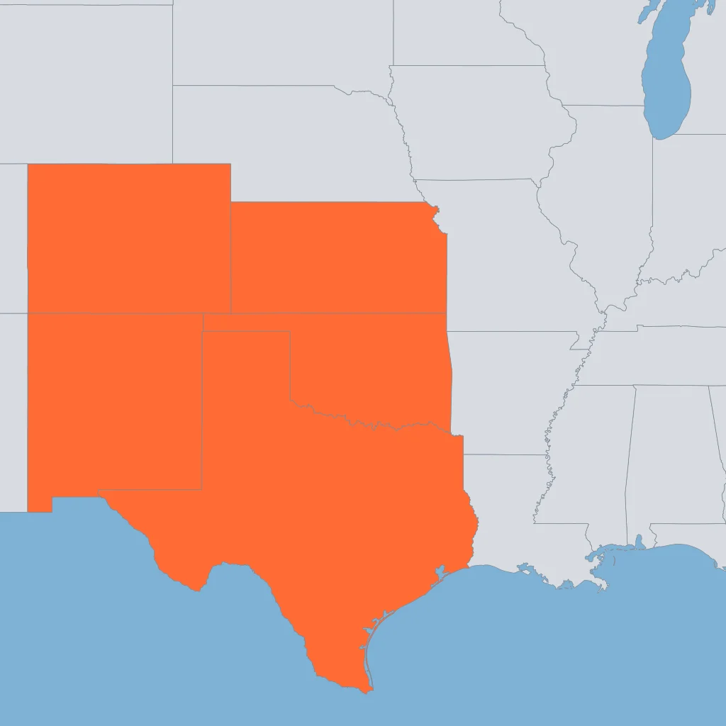
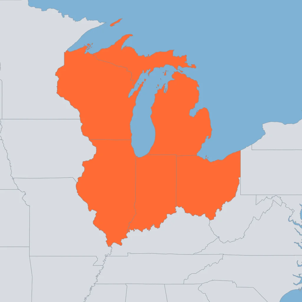
What do the shaded states on the map have in common?
In 1763 the British government forbade colonial settlement west of a line drawn along the crest of the Appalachian Mountains. Why did colonists resent that particular line?
In 1862 and 1863 the Union spent enormous effort taking control of the whole Mississippi River, including the siege of Vicksburg. Why was that river worth so much of the war effort?
In the late 1800s and early 1900s huge steel mills went up on the southern shores of the Great Lakes, at places like Gary and Cleveland. What made that location so attractive?
Settlers crossed the Great Plains for decades before farming them in large numbers. What about the land itself held farming back?
After 1898 the United States held territory and naval bases in both the Caribbean and the Pacific. Why did that make a canal across Central America a national priority?
Berlin produced one Cold War crisis after another, from the airlift of 1948-49 to the wall of 1961. What was it about the city's location that kept it in dispute?
Between 1950 and 1980 population and jobs shifted sharply toward the Sun Belt, the southern and southwestern states. What drew them there?
Between 1910 and 1970 millions of Black southerners moved to cities in the North and West. What was one political result in the cities that received them?
Between 1845 and 1855 well over a million people left Ireland for the United States, most of them landing at Boston and New York. What set off that departure?
After gold was found at Sutter's Mill, tens of thousands of migrants poured into California in 1849. What followed most directly from that sudden crowd?
After 1945 millions of American families left central cities for newly built suburbs. What put that move within reach of so many ordinary families?
Between 1870 and 1920 the share of Americans living in cities rose from about a quarter to more than half. What caused that shift?
Crack the passcode before the zombies get in.
Answer, then swat bugs for bonus points.
Race through questions at your own speed.
Same question on every screen. Fastest wins.

Pick a tile, answer, hit bonuses and steals.

The Thirteen Colonies: Regions and Economies
30 questions