Loading
by BlastRoom
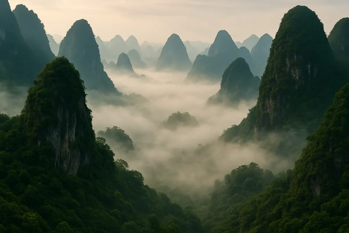
The mountains, plains, rivers, coasts and basins that shape East Asia.
#us_hs_world_geography
30 questions
One question set, multiple game modes. Tap any game to see it in action. Not sure which to pick?
Answer to place stones and capture territory.
Outrun the snow together.
Earn blasts, then hunt the other team.
Answer to earn energy, then climb.

The class blasts through walls together.
Bid on mystery lots. Most money wins.
Sell tours. Nice, standard, or a total scam.

Answer, restock, and serve the rush.
More correct answers pulls the rope your way.
Answer, then shoot down the alien wave.
Answer, then tap to leap the frozen ridge.
A high plateau north of the Himalaya averages over 13,000 feet and feeds the Chang Jiang, Huang He, and Mekong. What landform is described?
A plateau of wind-blown yellow silt lies west of the North China Plain and supplies much of the Huang He's sediment. What is it called?
A low, flat farming region around the lower Huang He opens toward the Bohai Gulf. What landform is described?
In northeastern China, a broad lowland drained by the Liao and Songhua lies between the Greater Khingan and Changbai ranges. What is this region?
Between the Yellow Sea and the Sea of Japan, a landmass with a mountainous eastern spine and small coastal plains extends south from mainland Asia. Which landform region is this?
Central Honshu has high rugged mountains that force short, steep rivers toward narrow coastal plains. Which region is described?
Southwest China's rugged limestone highland lies east of the Tibetan Plateau and is cut by upper river valleys flowing toward Southeast Asia. What is it?
Broad high grasslands and the Gobi Desert stretch across an upland between the Altai Mountains and the Greater Khingan Range. What is this region?
An east-west mountain belt south of the Loess Plateau divides the Huang He basin from the Chang Jiang basin. What is it?
This river rises on the Tibetan Plateau, crosses the Loess Plateau, and reaches the sea at the Bohai Gulf. Which river is it?
This river rises on the Tibetan Plateau, passes through the Three Gorges, and reaches the East China Sea near Shanghai. Which river is it?
This southern Chinese river system drains toward the Pearl River Delta and the South China Sea near Guangzhou. Which river is it?
This river begins in the Tibetan highlands, flows through Yunnan, leaves China, and reaches the South China Sea in Vietnam. Which river is it?
This river forms part of the boundary between northeastern China and Russia before flowing toward the Sea of Okhotsk. Which river is it?
This river drains the Manchurian Plain through Harbin, joins the Amur, and reaches the Sea of Okhotsk through that system. Which river is it?
This river forms much of the China-North Korea border and flows southwest into Korea Bay on the Yellow Sea. Which river is it?
At a convergent boundary east of Asia, subduction melts rock and volcanoes build a curved chain of islands. What landform results?
Where the Pacific Plate subducts off northeastern Japan, the seafloor bends into a long, narrow trough. What feature forms?
Taiwan's steep central mountains rise where the Philippine Sea Plate and Eurasian Plate converge. Which process best explains them?
Japan has steep mountainous interiors and only narrow coastal plains. Which cause best explains that pattern?
The Ryukyu Islands arc from Kyushu toward Taiwan above the Ryukyu Trench. Which plate sinks beneath the Eurasian Plate there?
The Yellow and East China seas cover a shallow edge of the continent rather than deep ocean crust. What coastal landform is favored there?
Off Japan, a trench, frequent earthquakes, and volcanic peaks line up parallel to the coast. What plate-boundary setting explains them?
Between the Tian Shan on the north and the Kunlun on the south lies a closed basin whose rivers disappear into desert sands. What is it?
North of the Tian Shan and south of the Altai lies an interior basin of northern Xinjiang. What basin is described?
On the northeastern edge of the Tibetan Plateau, a dry basin with salt flats lies among the Kunlun, Altun, and Qilian ranges. What is it?
A red-soil lowland west of the Three Gorges is ringed by mountains and drained by upper Chang Jiang tributaries. What basin is it?
At the eastern Tian Shan, a desert basin drops below sea level near an oasis city in Xinjiang. What landform is this?
A cold rain-shadow desert spreads across southern Mongolia and Inner Mongolia in northern China. Which desert is described?
Inside the great northern loop of the Huang He, a plateau basin holds thick Carboniferous-to-Jurassic layers of coal, oil, and gas beneath its surface. What is this basin?
Crack the passcode before the zombies get in.
Answer, then swat bugs for bonus points.
Race through questions at your own speed.
Same question on every screen. Fastest wins.

Pick a tile, answer, hit bonuses and steals.
East Asia: Climate, Vegetation and Resources
30 questions