Loading
by BlastRoom
Compare climate, landforms, vegetation, and natural resources across the regions of the United States.
#geography#us_grade_5_social_studies
40 questions
One question set, multiple game modes. Tap any game to see it in action. Not sure which to pick?
Answer to place stones and capture territory.
Outrun the snow together.
Earn blasts, then hunt the other team.
Answer to earn energy, then climb.

The class blasts through walls together.
Bid on mystery lots. Most money wins.
Sell tours. Nice, standard, or a total scam.

Answer, restock, and serve the rush.
More correct answers pulls the rope your way.
Answer, then shoot down the alien wave.
Answer, then tap to leap the frozen ridge.
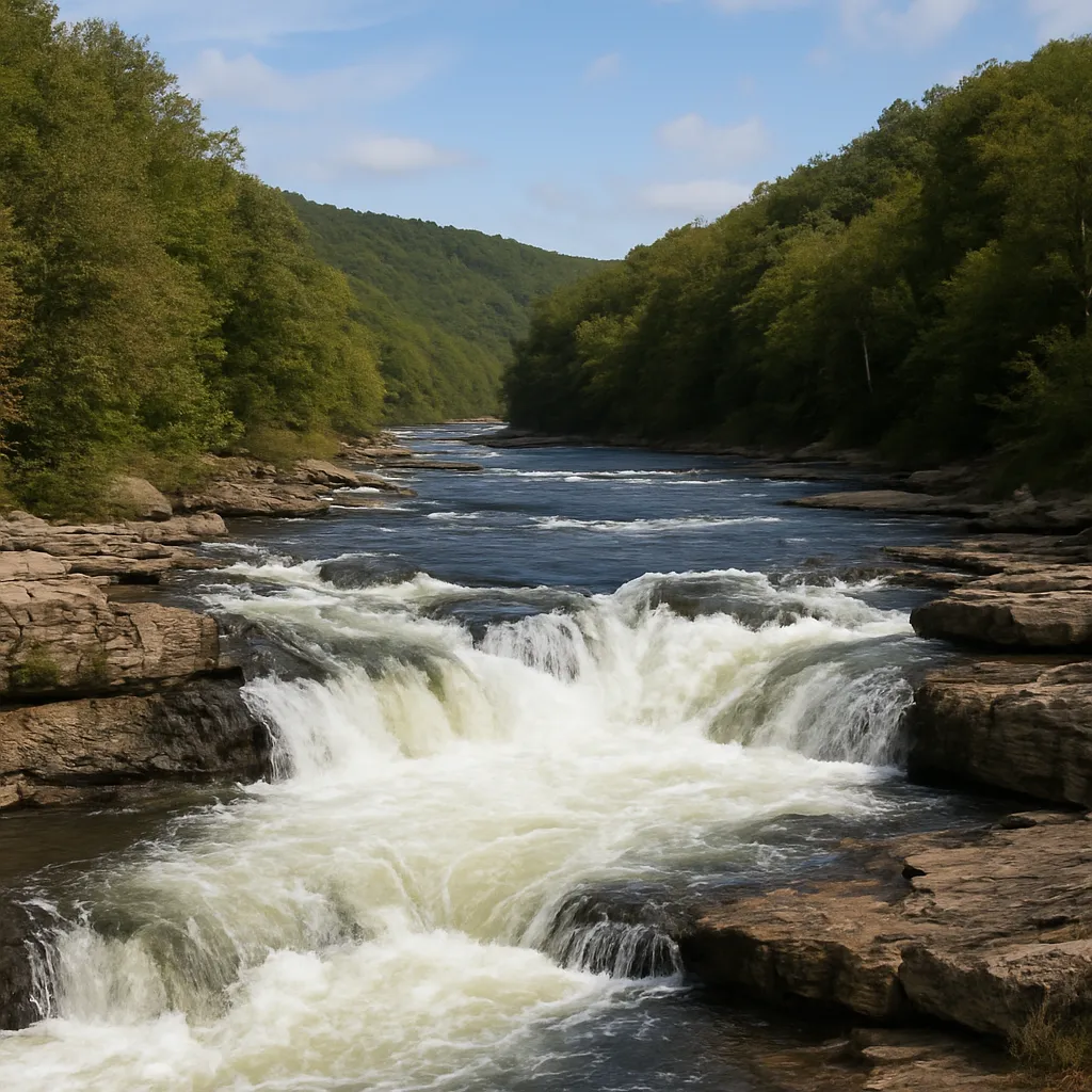
Along the fall line, rivers drop from the higher Piedmont onto the flat Coastal Plain in rapids and waterfalls. Why did early towns such as Richmond, Virginia grow up right at that spot?
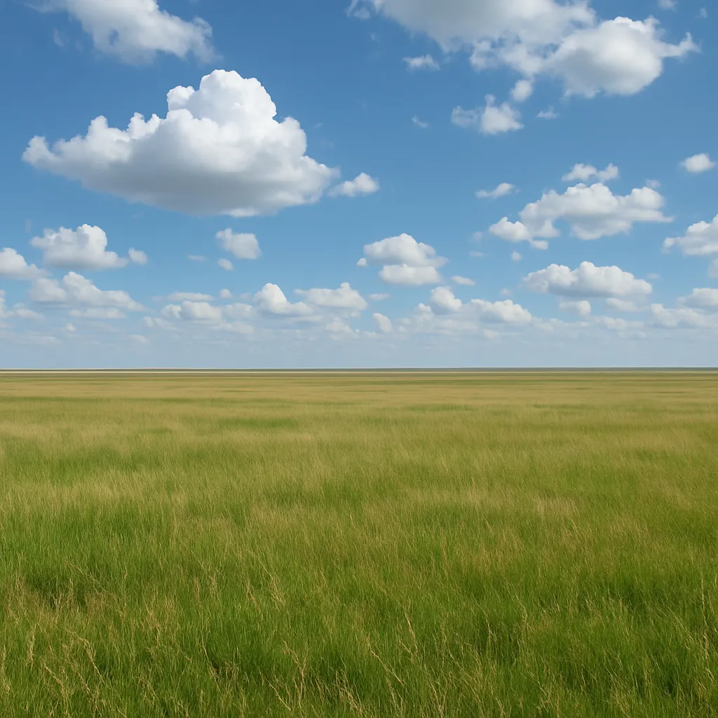
The Great Plains have flat land, deep grassland soil, and only about 15 to 20 inches of rain a year. Which kind of farming does that combination support best?
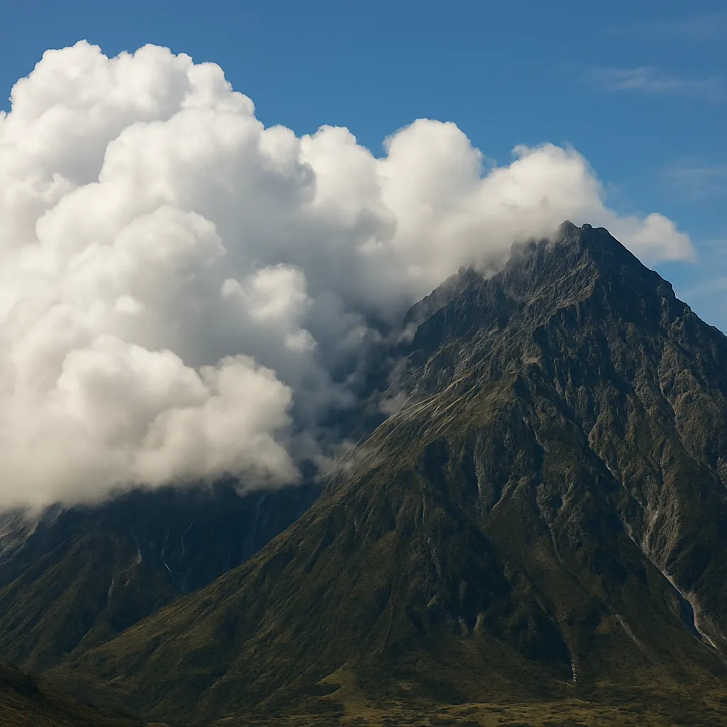
The western slopes of Washington's Olympic Mountains receive more than 100 inches of rain each year. Which natural resource does that heavy rainfall help produce there?
Moist air from the Pacific Ocean rises over the Cascade Range and drops most of its rain on the western side. What does this create on the eastern side of the mountains?
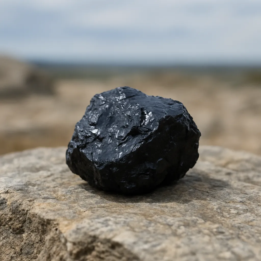
Thick coal seams lie under the Appalachian Mountains in West Virginia, Kentucky, and Pennsylvania. Why did towns grow up in the narrow valleys of those mountains in the 1800s?
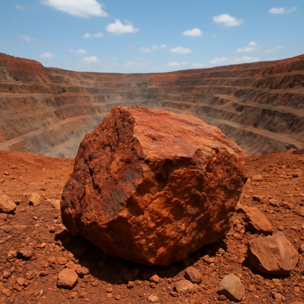
Minnesota's Mesabi Range holds the largest iron ore deposits in the United States. Why was it helpful that the range lies close to Lake Superior?
New York City sits where the Hudson River meets a deep, sheltered bay that rarely freezes. How did that natural harbor shape the city?
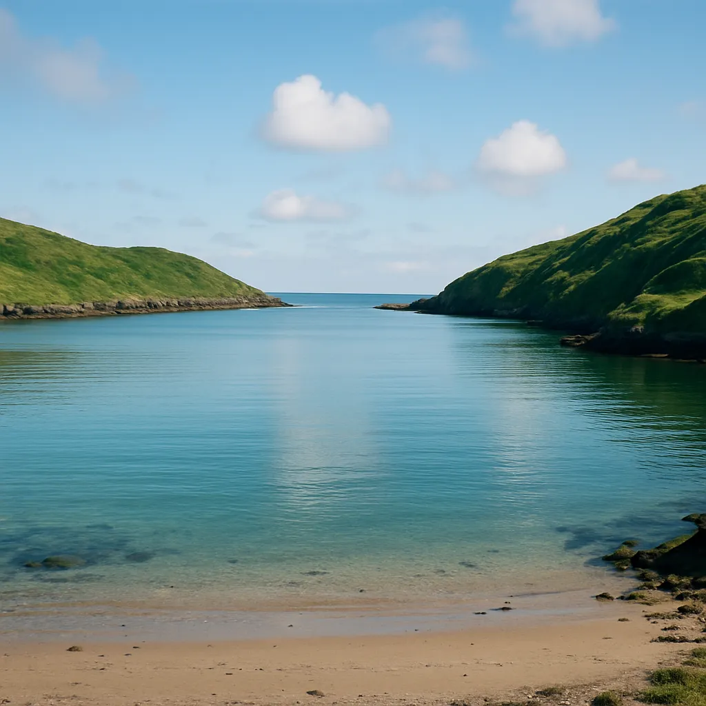
Miami lies near 26 degrees north latitude, while Minneapolis lies near 45 degrees north. What does that difference in latitude best help explain?
A student wants to find out where copper, coal, and timber are found across the United States. Which kind of map should she use?
A physical map of the United States shows landforms, rivers, and elevation. What does a political map show instead?
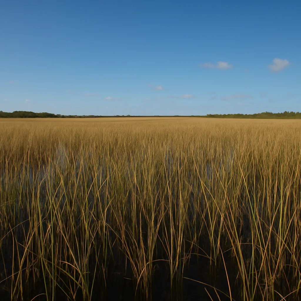
Southern Florida's Everglades is a wide, shallow freshwater marsh covered in sawgrass. Which kind of climate does it have?
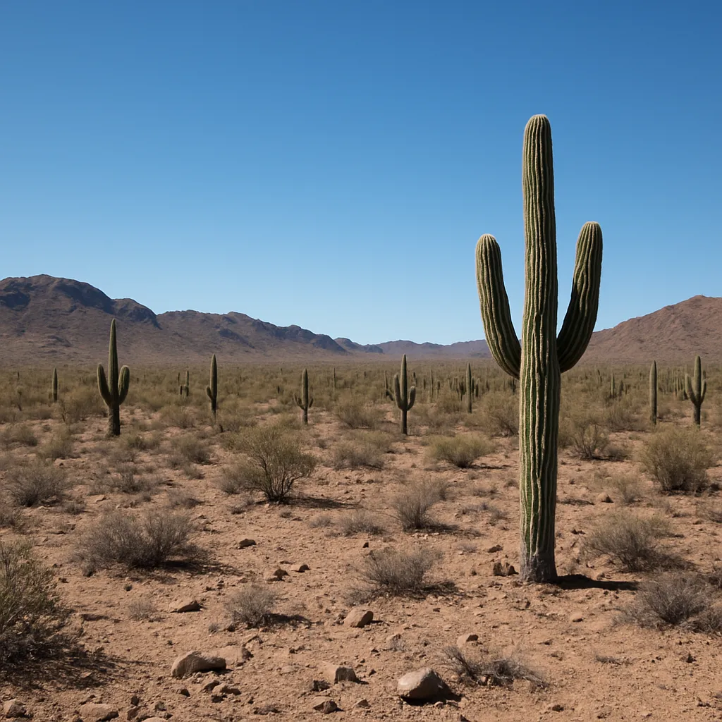
Phoenix, Arizona sits in a desert basin that receives only about eight inches of rain a year. How are farmers there able to grow crops?
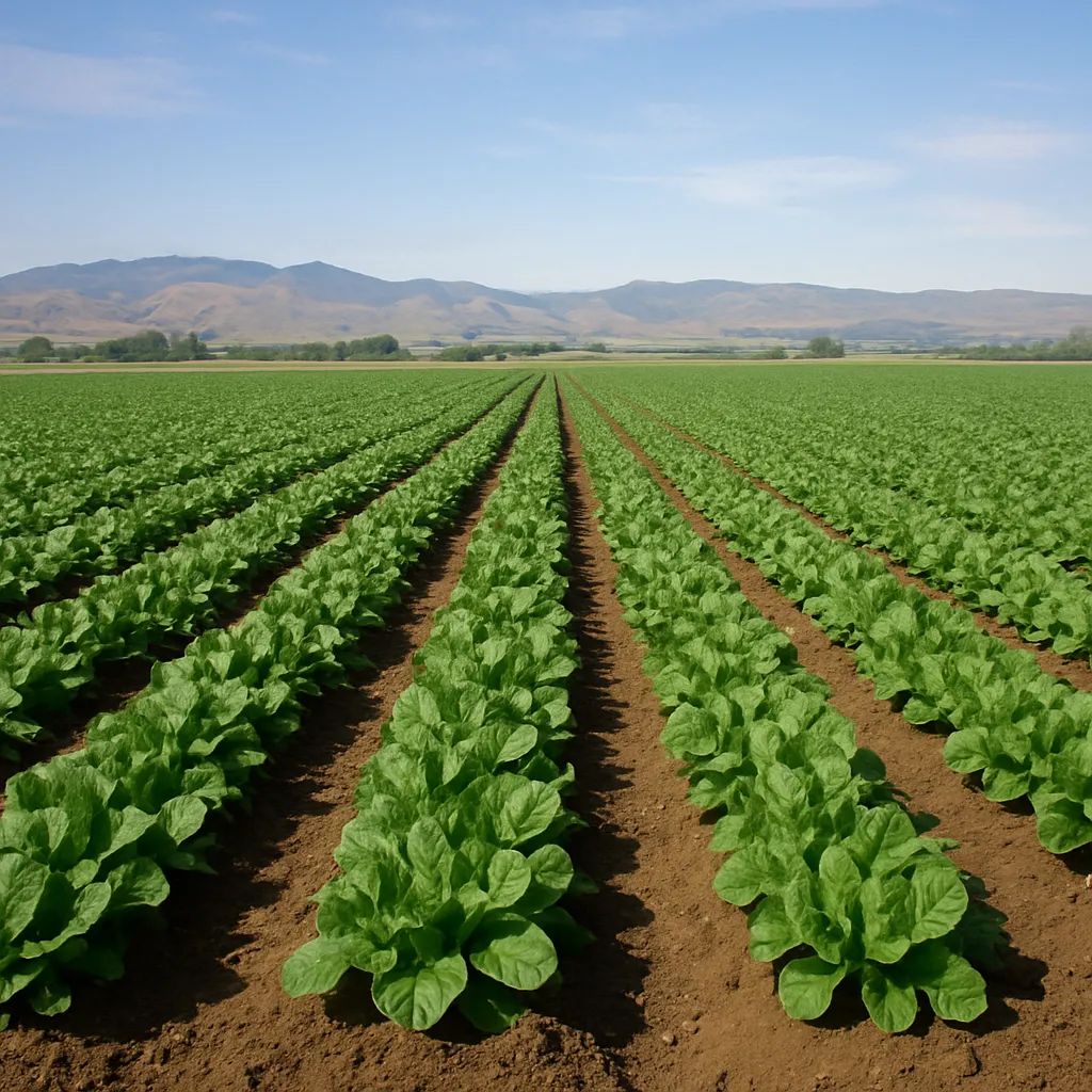
California's Central Valley has rich soil and a long growing season, but almost no summer rain. Where does most of the water for its farms come from?
The Ohio River flows into the Mississippi River at Cairo, Illinois, and the Mississippi carries its water on to the Gulf of Mexico. What is the Ohio to the Mississippi?
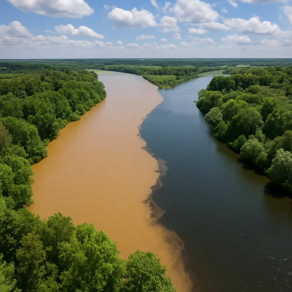
Barges loaded with grain travel down the Mississippi River to the port of New Orleans. What does the river provide for farmers in the middle of the country?
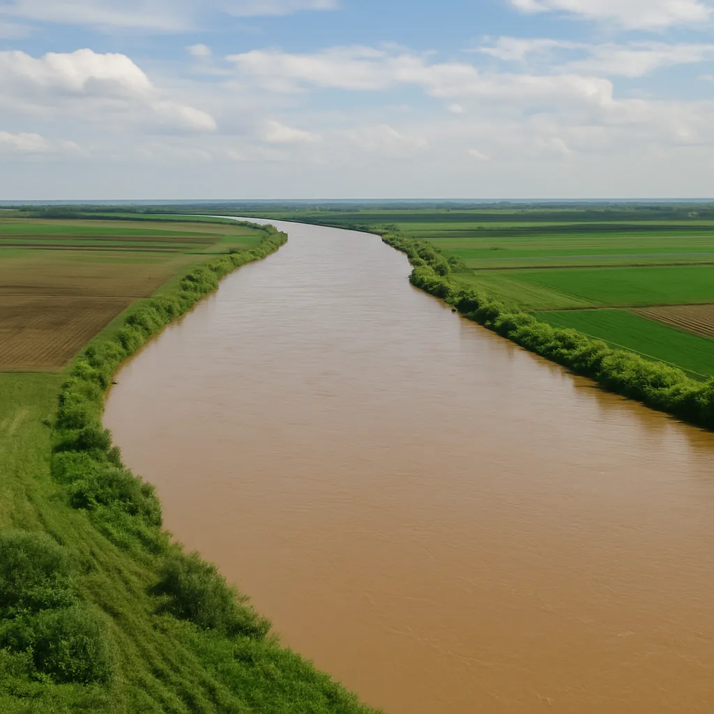
New England's soil is thin and rocky and its growing season is short. Which activities became more important there than large-scale farming?
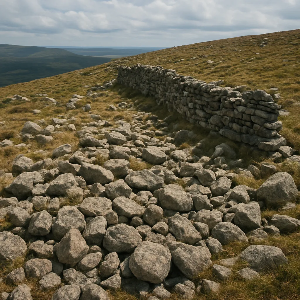
A state makes electricity two ways: burning coal dug from underground seams, and turning wind turbines on the plains. Which energy source is nonrenewable, and why?
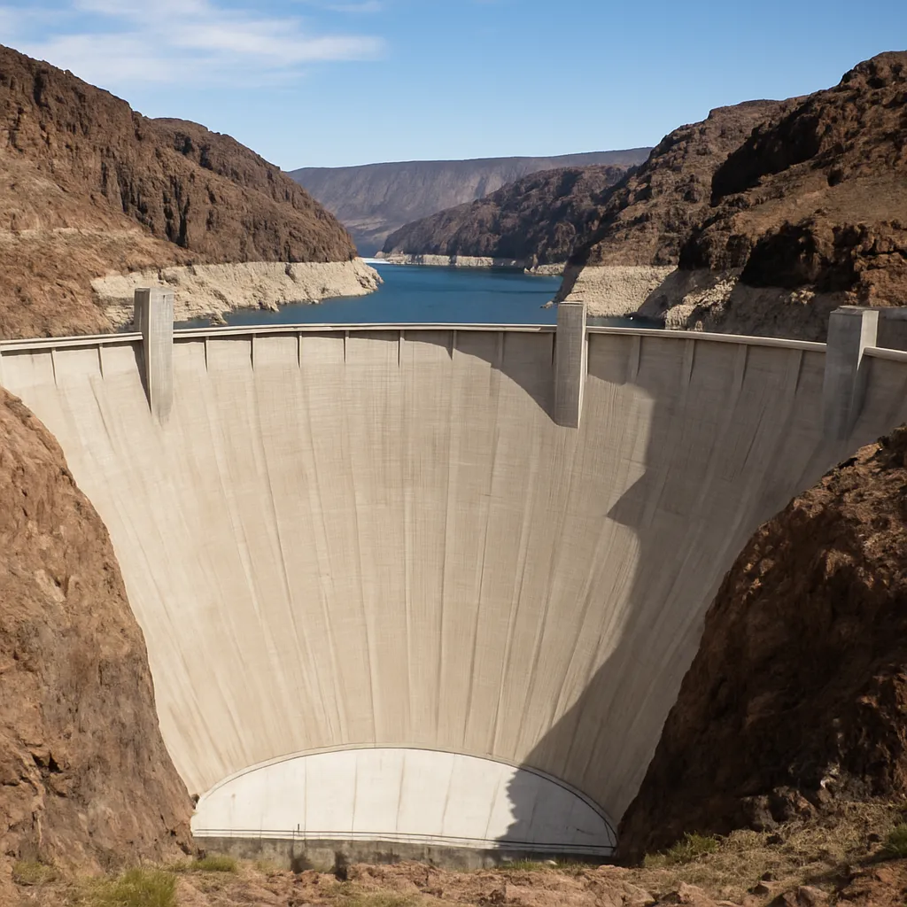
Engineers built Hoover Dam across the Colorado River to store water and produce electricity. This is an example of people doing what to their physical environment?
Chicago, Cleveland, and Detroit all draw their drinking water straight from the Great Lakes. What makes that possible?
Alaska's northern coast has a tundra climate, where the ground stays frozen below the surface and trees do not grow.
Which U.S. region is best known for a warm climate, long growing season, and crops such as cotton and citrus fruits?
Which natural resource has historically been important in parts of Appalachia?
In the 1930s, years of drought and strong winds blew dry topsoil off Great Plains farms in huge black clouds. What is this disaster called?
This region has scorching hot summers, very little rainfall, and vegetation such as cactus and sagebrush instead of forests. Which region is it?
Which region contains many Great Lakes ports and has access to major freshwater transportation routes?
Which climate is most common across much of the Midwest?
Which resource is especially important for hydroelectric power in the Pacific Northwest?
Which U.S. region is often associated with forests, fishing, and a cool, wet climate along the coast?
True or False: Gold found in California in 1848 drew thousands of people there and helped towns such as San Francisco grow quickly.
Each spring, farmers in Vermont collect sap from a kind of tree that grows in their cold forests. Which product do they make from it?
Which region is known for cold winters, rocky coastlines, forests, and fishing industries?
Which natural resource is commonly connected with the economy of Texas, Oklahoma, and parts of the Gulf Coast?
True or False: Most of the rice grown in the United States comes from the dry deserts of Arizona and Nevada.
Which feature helps make the Midwest one of the nation’s most productive farming regions?
Which U.S. region includes Hawaii and Alaska and has very different climates within the same census region?
Which natural resource supports industries such as paper making and lumber production?
Why are many large cities located near rivers, lakes, or oceans?
True or False: The Rocky Mountains can affect climate by changing wind patterns and where precipitation falls.
Fishing boats along Maine's rocky coast set traps on the ocean floor to catch the state's most famous seafood. What is it?
How can a region’s climate and resources affect the jobs people do there?
Crack the passcode before the zombies get in.
Answer, then swat bugs for bonus points.
Race through questions at your own speed.
Same question on every screen. Fastest wins.

Pick a tile, answer, hit bonuses and steals.
Adapting to and Modifying the Environment
40 questions