Loading
by BlastRoom
Compare the major post-classical trade networks and what moved along them.
#world_history
40 questions
One question set, multiple game modes. Tap any game to see it in action. Not sure which to pick?
Answer to place stones and capture territory.
Outrun the snow together.
Earn blasts, then hunt the other team.
Answer to earn energy, then climb.

The class blasts through walls together.
Bid on mystery lots. Most money wins.
Sell tours. Nice, standard, or a total scam.

Answer, restock, and serve the rush.
More correct answers pulls the rope your way.
Answer, then shoot down the alien wave.
Answer, then tap to leap the frozen ridge.
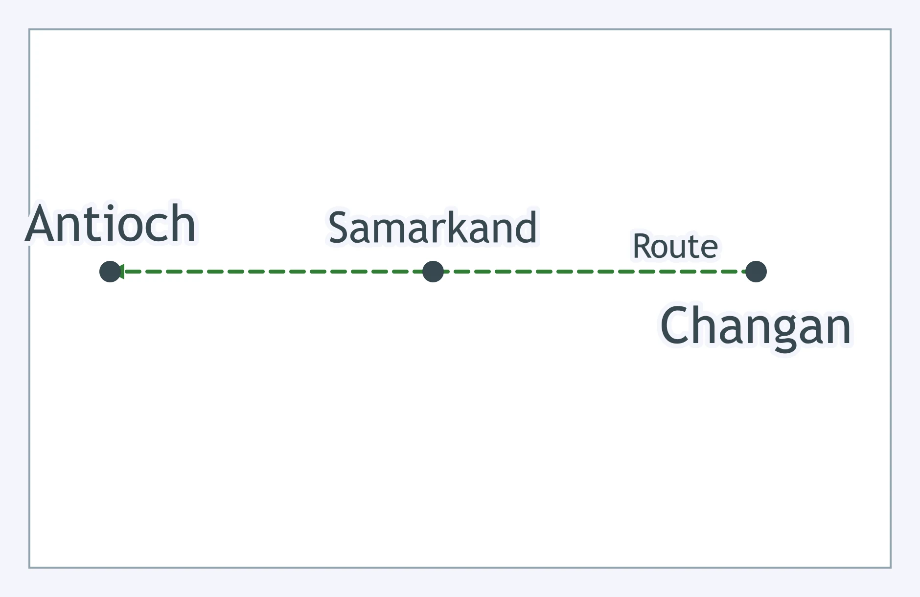
Use the map: a route runs from Changan through Samarkand to Antioch over land. Which network is it showing?
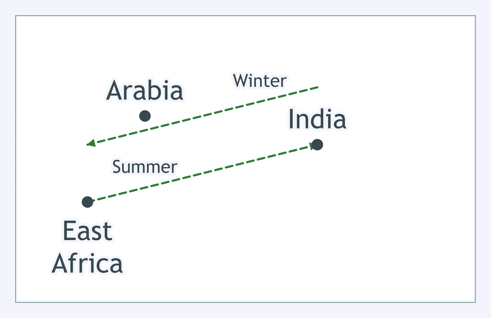
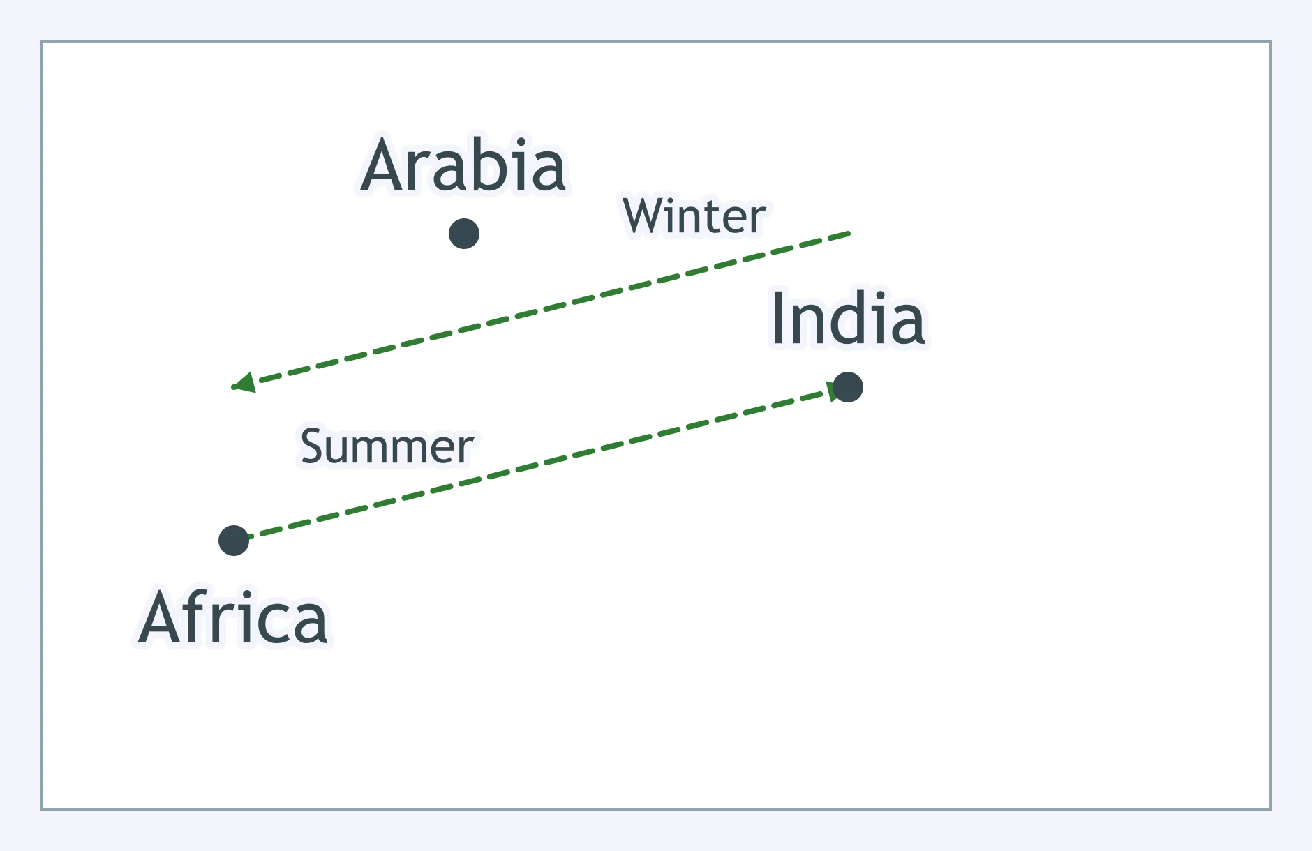
Use the wind arrows on the map. What could an Indian Ocean captain do with this pattern?
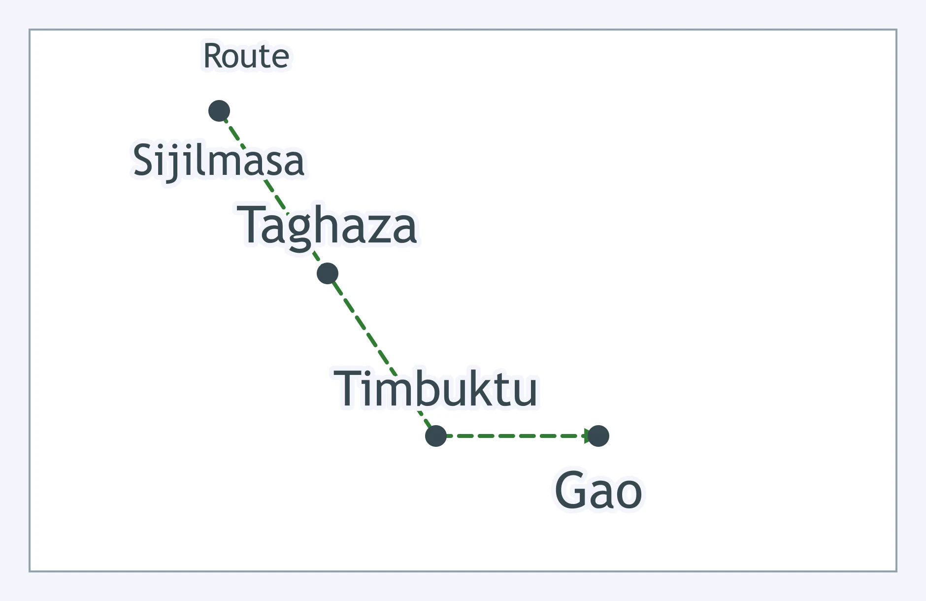
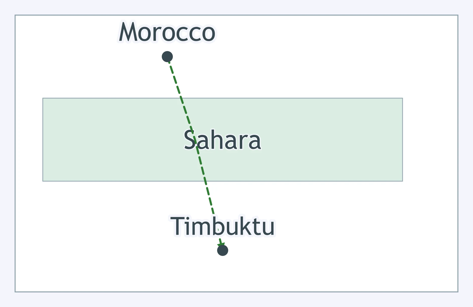
The map shows Sijilmasa, Taghaza, Timbuktu, and Gao linked across the Sahara. Which network is mapped?
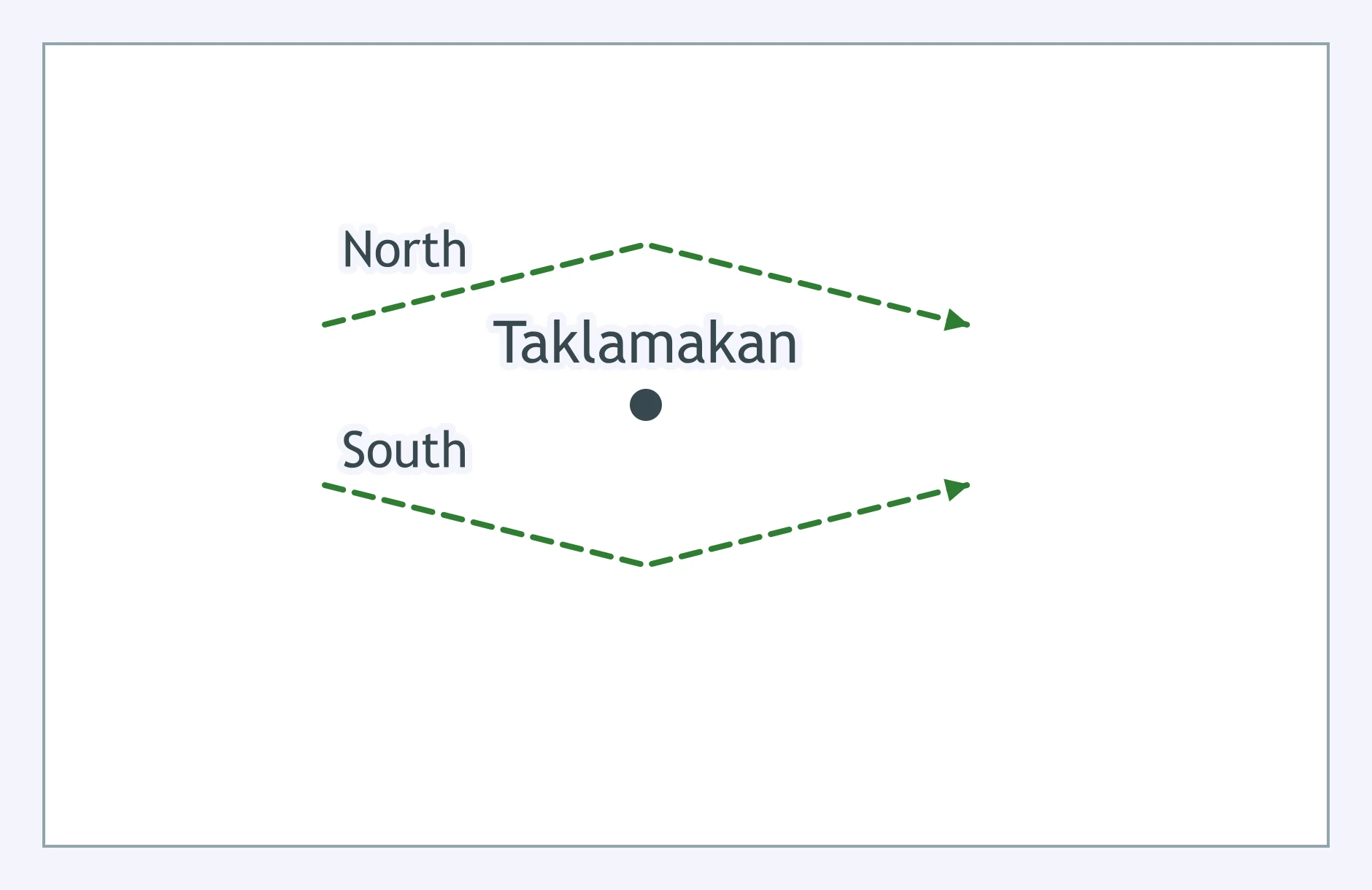
The two route branches bend around the labeled Taklamakan area. What feature shaped this part of the Silk Roads?
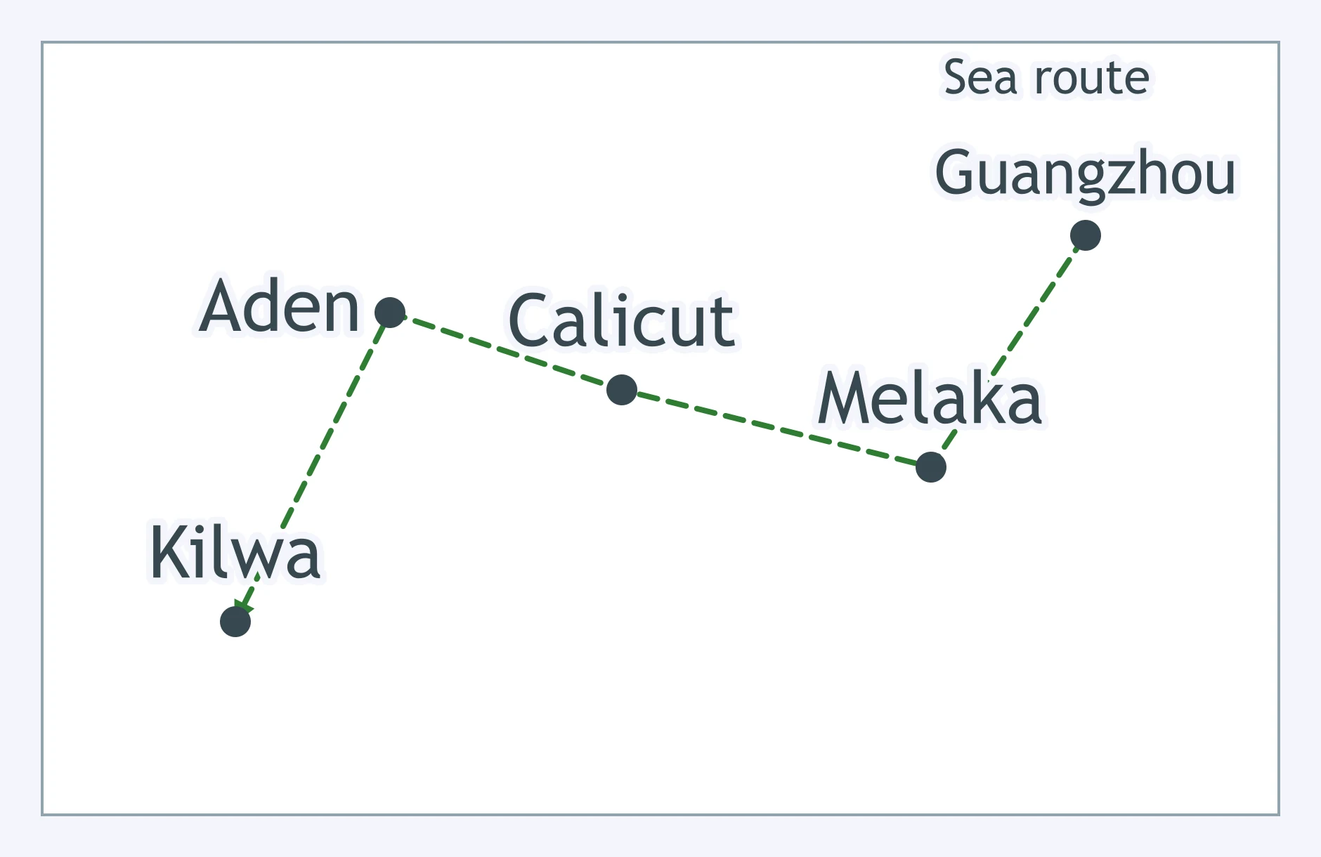
The map links Guangzhou, Melaka, Calicut, Aden, and Kilwa by sea. Which network best fits the route?
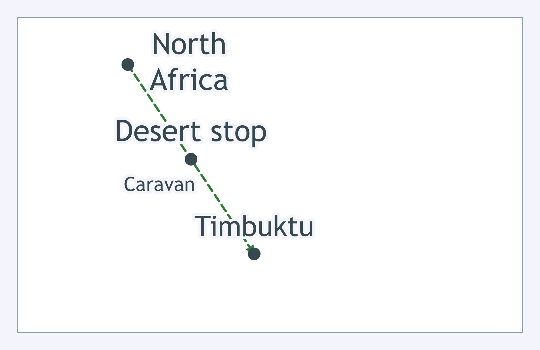
On the caravan map, the route passes a central desert stop before reaching Timbuktu. What cargo most likely moved south from that stop?
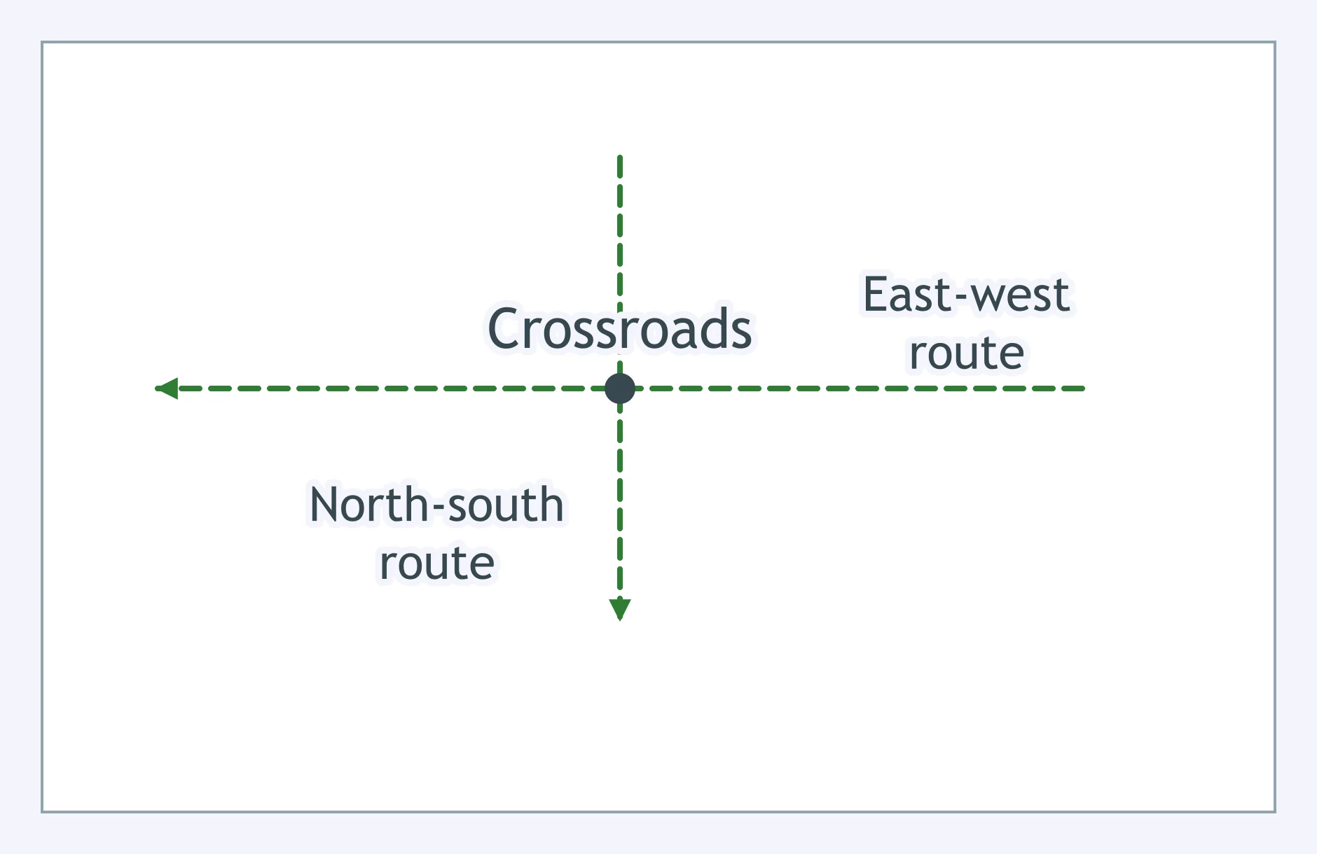
Use the crossroads marker in Central Asia. Which city best fits that Silk Roads position?
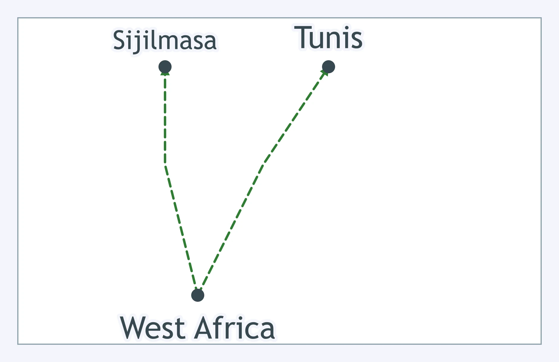
The arrows begin south of the Sahara and end in North African towns. Which good most likely moved along these routes?
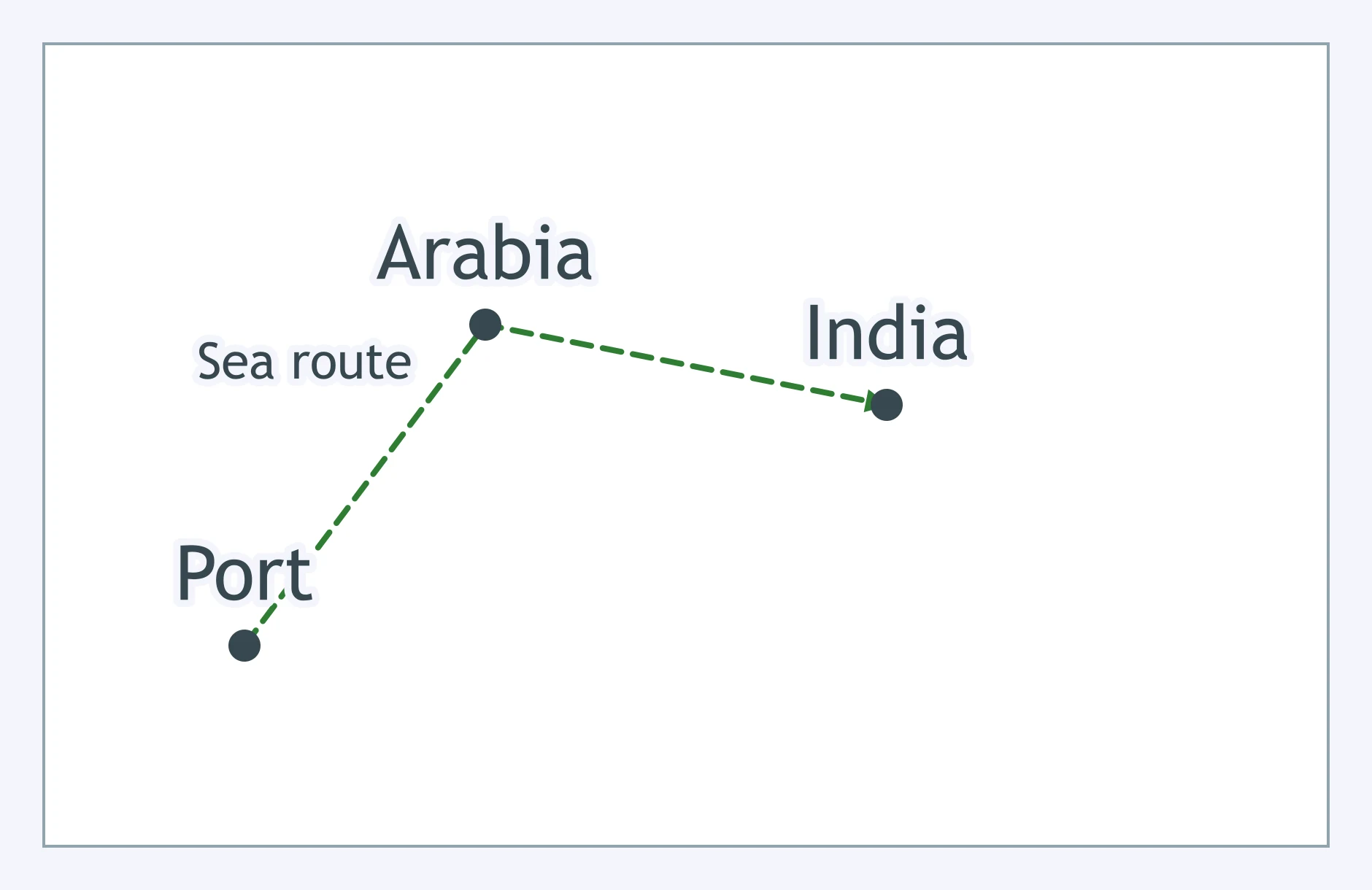
The marked port sits on the East African coast and is linked to Arabia and India. Which option names a Swahili Coast port there?
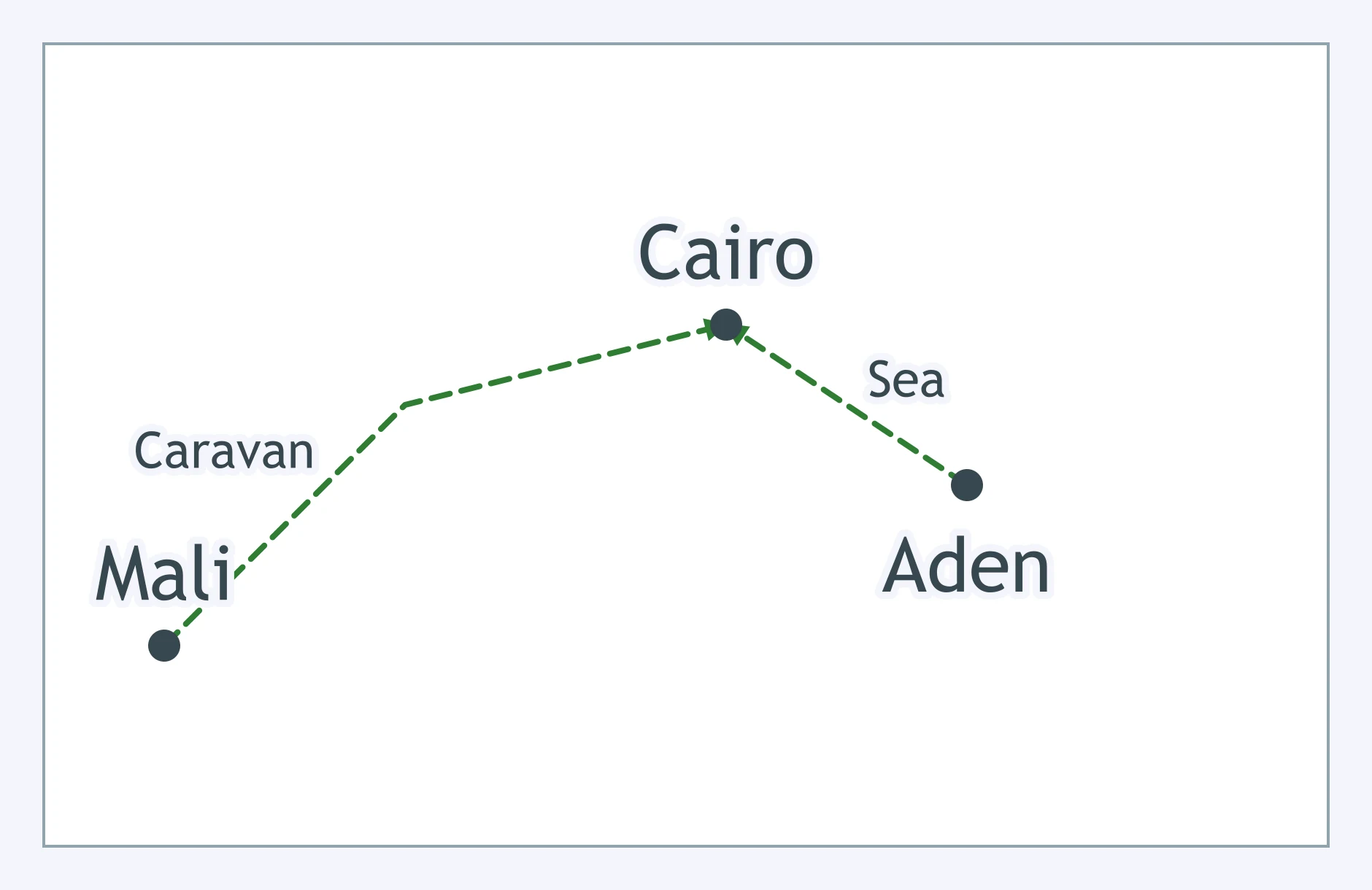
The hub links caravan routes from West Africa to Red Sea shipping. Which pair of networks fits the map?
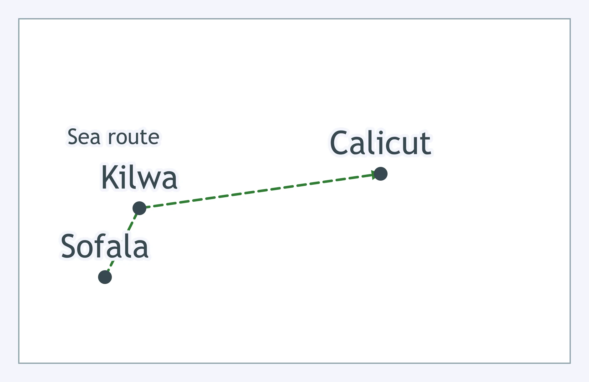
The map shows Sofala to Kilwa to Calicut across the ocean. Which network carried goods overseas after Sofala?
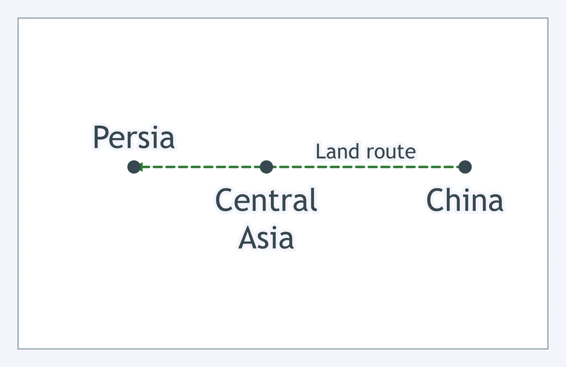
The route from China to Central Asia crosses land rather than port cities. What transport best matches the map?
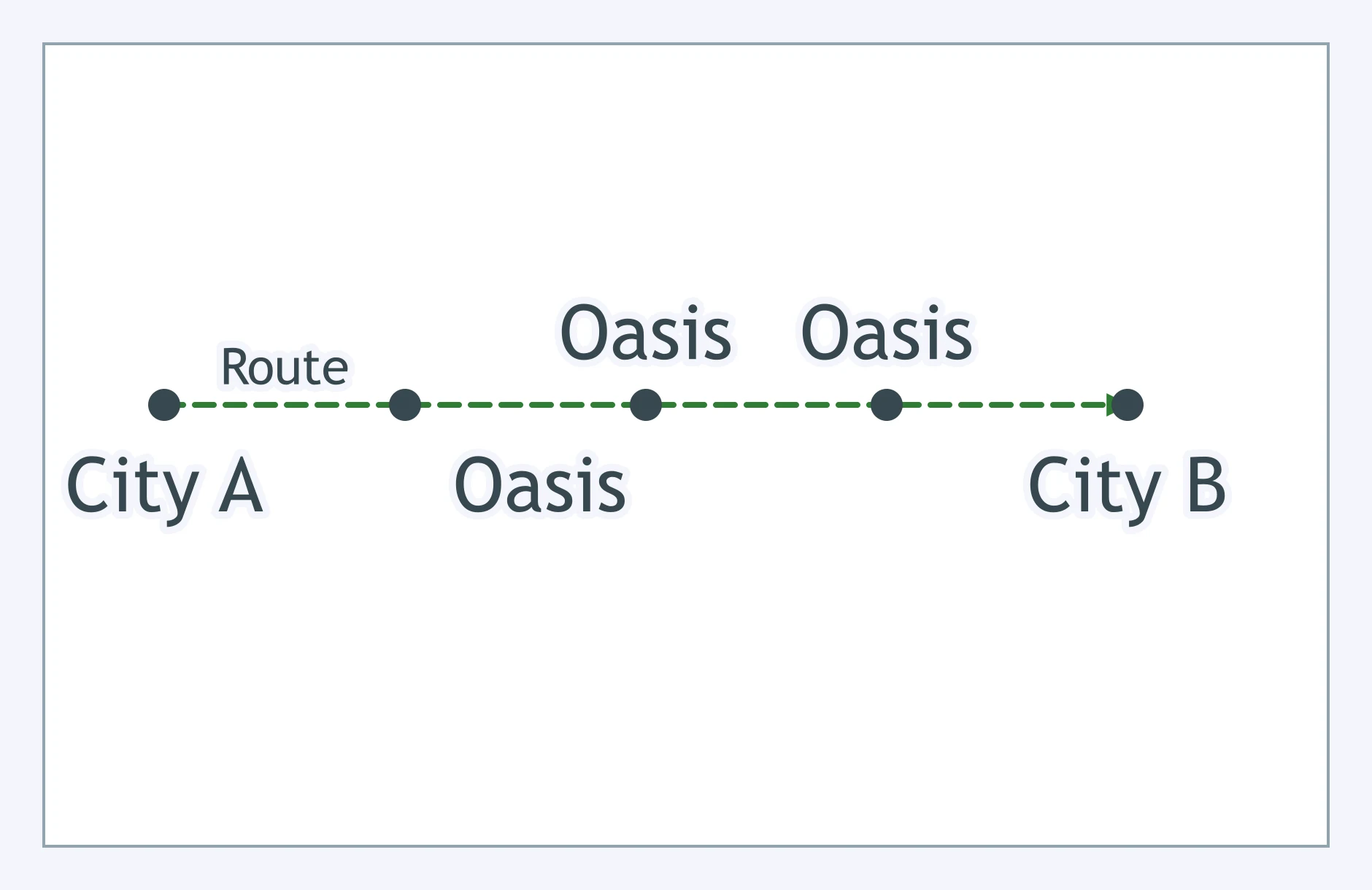
The map shows repeated oasis stops between distant Silk Roads cities. Why did those stops matter?
Use the map’s summer and winter monsoon arrows. Why might merchants spend months in foreign ports?
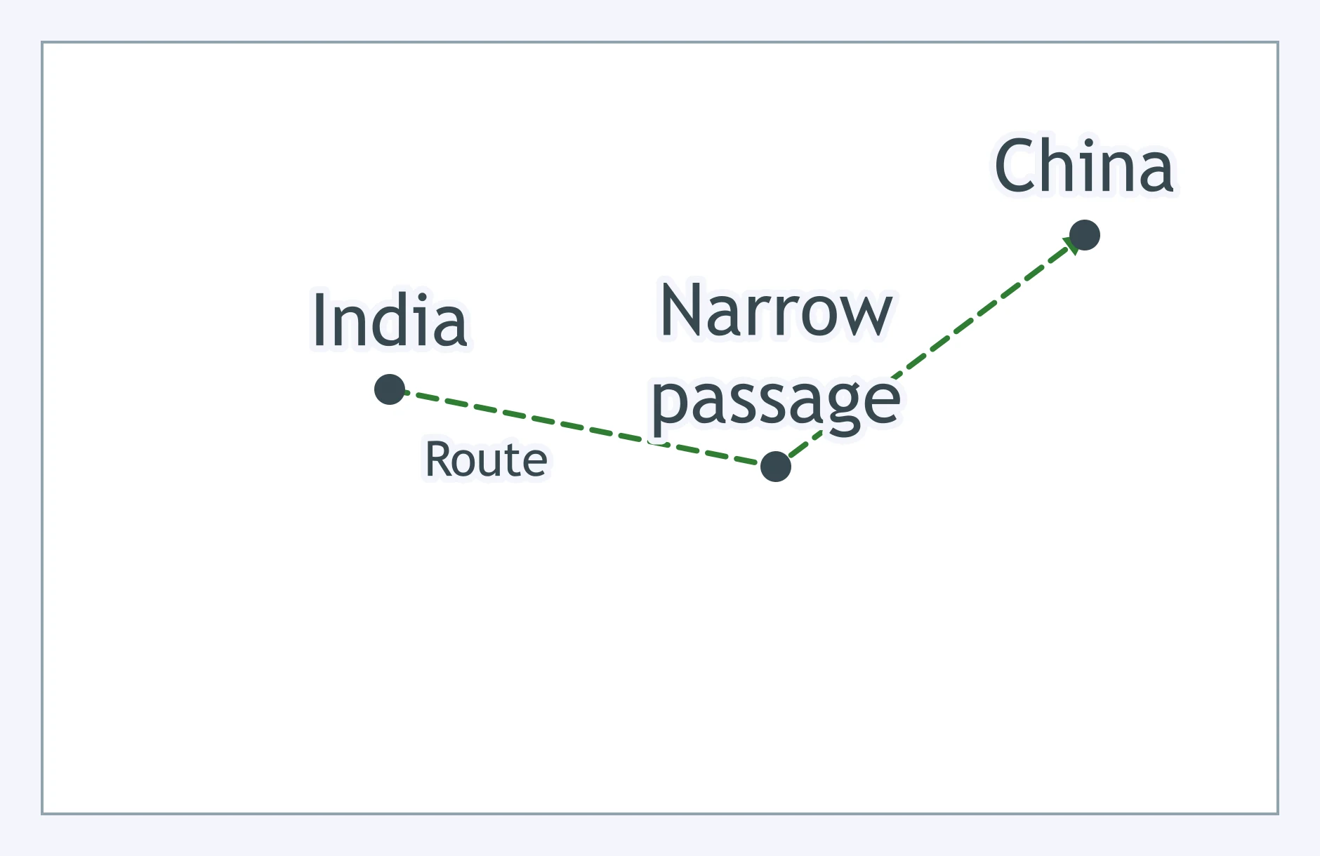
The route funnels through a narrow passage between India and China. Which chokepoint is being shown?
The map shows a long caravan path across the Sahara. Which animal made this kind of route practical?
A merchant leaving China on the overland route carried the product for which the route is best known. What was it?
Tang China traded silk to steppe peoples of Central Asia for an import its armies valued highly. What was it?
Which exchange best describes the classic trans-Saharan trade pattern?
Which pair best fits goods moving through Swahili Coast cities?
Ships passing through Southeast Asian ports often carried which high-value cargo westward?
A merchant in Gujarat or on the Coromandel Coast exported a major Indian Ocean good. Which one best fits?
A ship has a triangular sail set on a slanting yard and works the monsoon routes. Which vessel is it?
Why were camels so important to trans-Saharan trade?
Which institution helped overland merchants rest, trade, and resupply between cities?
A sailor in open water wants to estimate latitude from the stars. Which tool fits that job?
Which feature of Chinese junks helped make them large, durable cargo ships?
Why did the magnetic compass matter for maritime trade?
Merchants and monks used oasis towns between India, Central Asia, and China. Which faith spread into China by these routes?
Which change helped Islam spread south of the Sahara?
Along East African ports, trade connected Bantu-speaking communities with Arab and Persian merchants. What language developed there?
Indian Ocean trade helped spread which traditions into Southeast Asia during the post-classical era?
The same routes that carried merchants could also carry disease. Which pandemic spread through Afro-Eurasian trade routes in the 1300s?
Which Chinese technology moved along the Silk Roads and helped written culture spread?
Why could Indian Ocean trade carry more bulk goods than the overland Silk Roads?
Which comparison about control of Indian Ocean trade is most accurate?
Which feature did the Silk Roads and trans-Saharan routes share?
Which network centered most on port cities rather than desert oases?
Why did long overland routes usually favor luxury goods such as silk and gems?
What did all three networks have in common besides moving goods?
Crack the passcode before the zombies get in.
Answer, then swat bugs for bonus points.
Race through questions at your own speed.
Same question on every screen. Fastest wins.

Pick a tile, answer, hit bonuses and steals.
Post-Classical World Review
60 questions