Loading
by BlastRoom
Practice reading scale, legend, direction, regions, routes, and boundary lines on historical maps.
#world_history
40 questions
One question set, multiple game modes. Tap any game to see it in action. Not sure which to pick?
Answer to place stones and capture territory.
Outrun the snow together.
Earn blasts, then hunt the other team.
Answer to earn energy, then climb.

The class blasts through walls together.
Bid on mystery lots. Most money wins.
Sell tours. Nice, standard, or a total scam.

Answer, restock, and serve the rush.
More correct answers pulls the rope your way.
Answer, then shoot down the alien wave.
Answer, then tap to leap the frozen ridge.
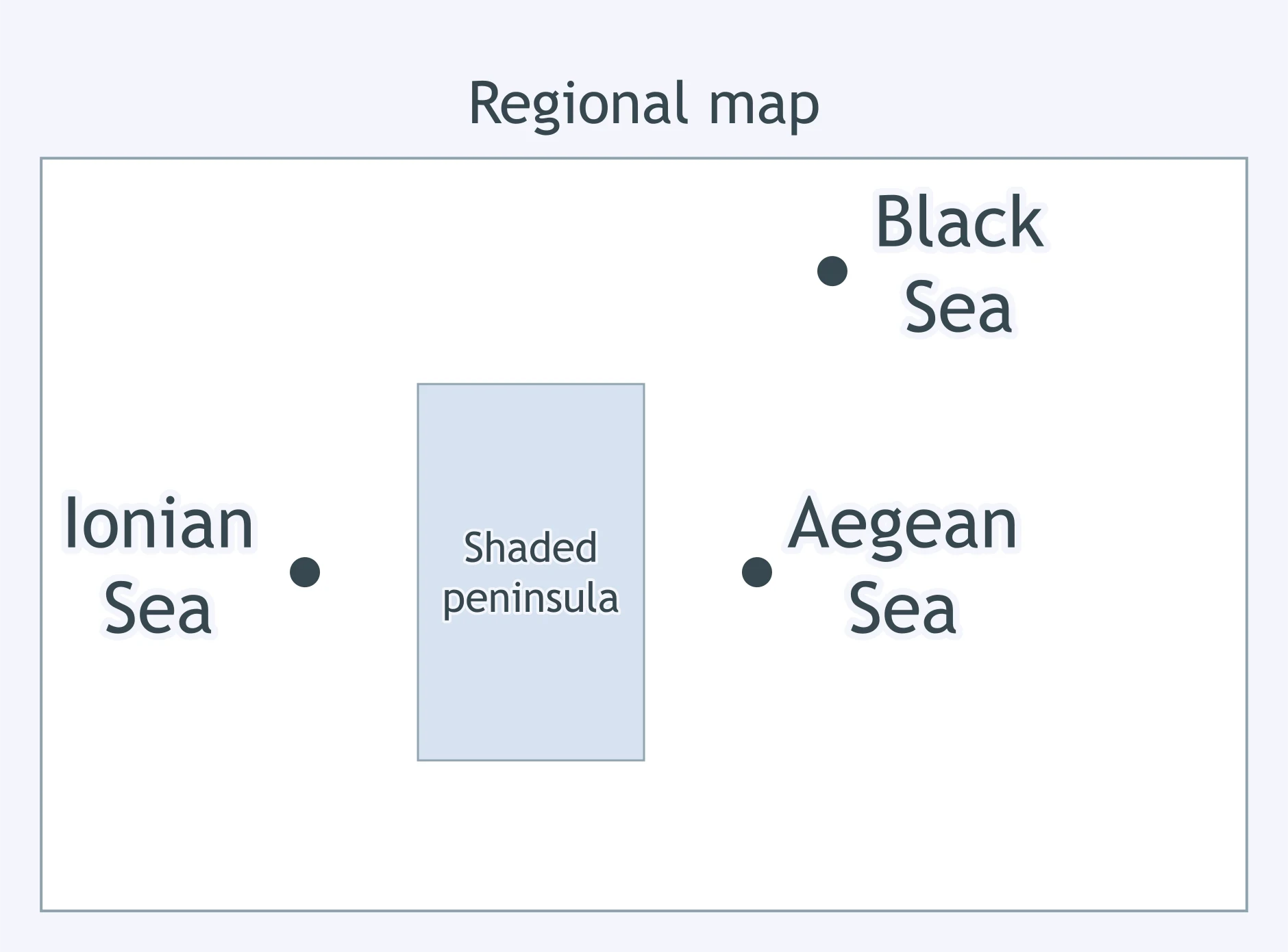
The shaded peninsula has the Ionian Sea on its west side and the Aegean Sea on its east side. Which peninsula is shaded?
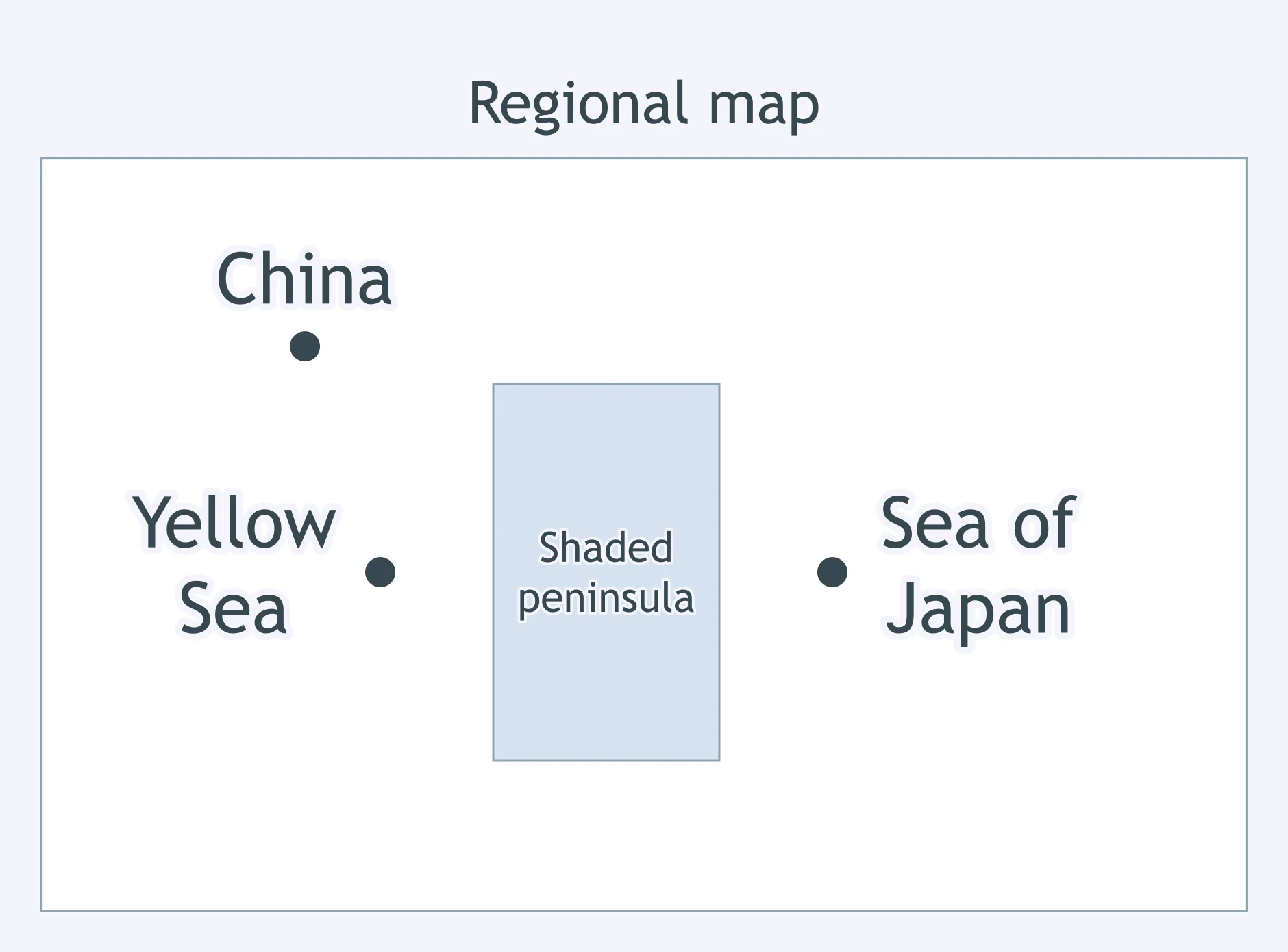
The shaded peninsula lies between the Yellow Sea and the Sea of Japan, with China labeled to the northwest. Which peninsula is shaded?
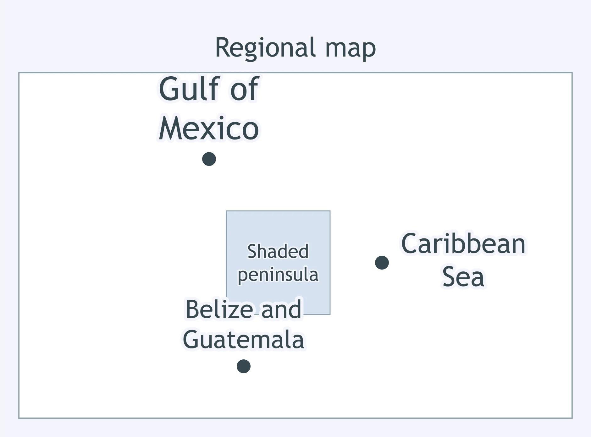
The shaded peninsula separates the Gulf of Mexico from the Caribbean Sea and has Belize and Guatemala to the south. Which peninsula is shaded?
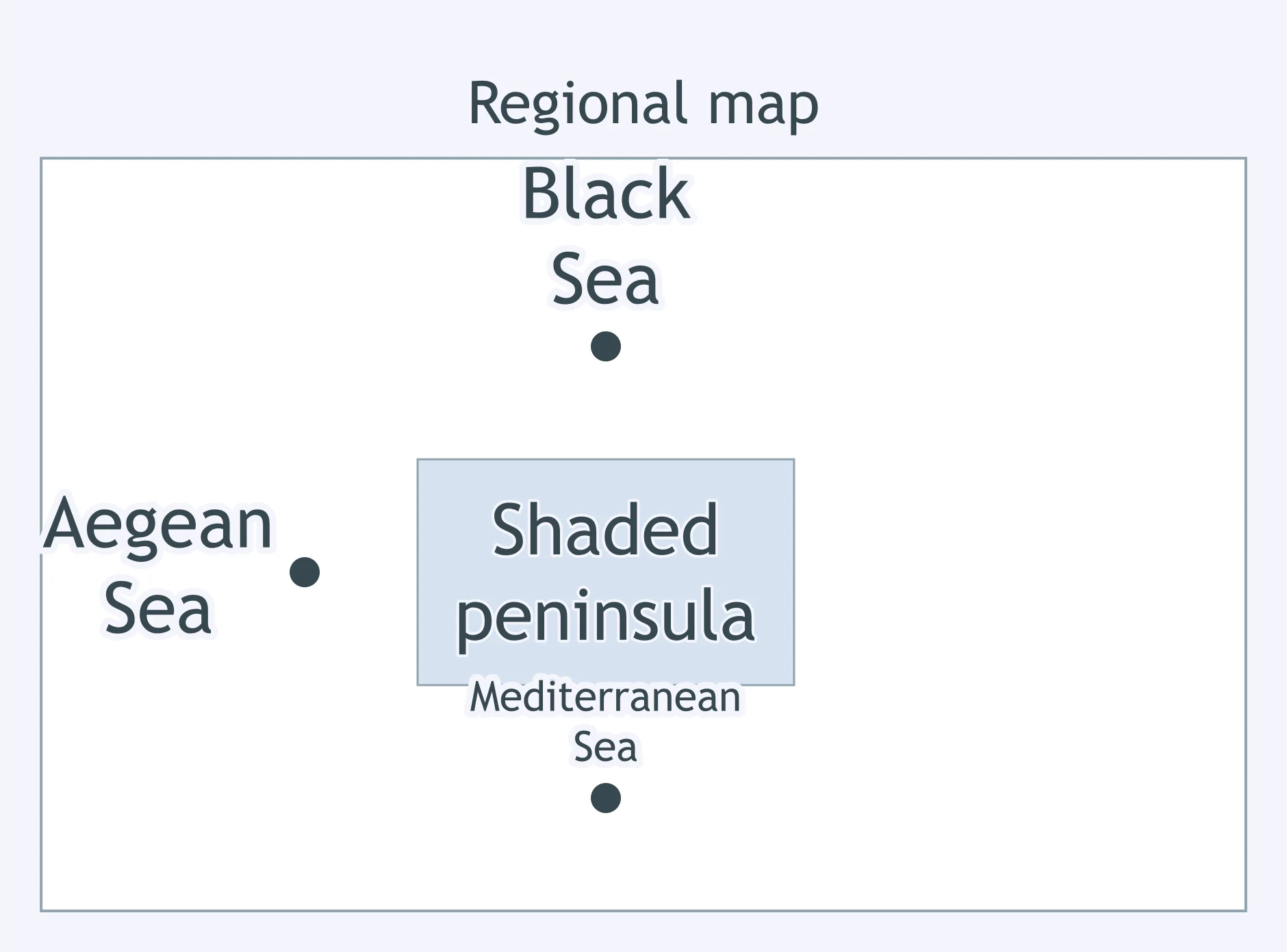
The shaded peninsula has the Black Sea north of it, the Aegean Sea west of it, and the Mediterranean Sea south of it. Which peninsula is shaded?
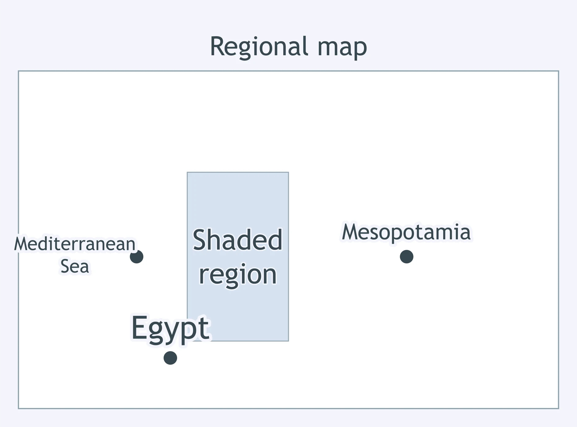
The shaded coastal region is east of the Mediterranean Sea, north of Egypt, and west of Mesopotamia. Which region is shaded?
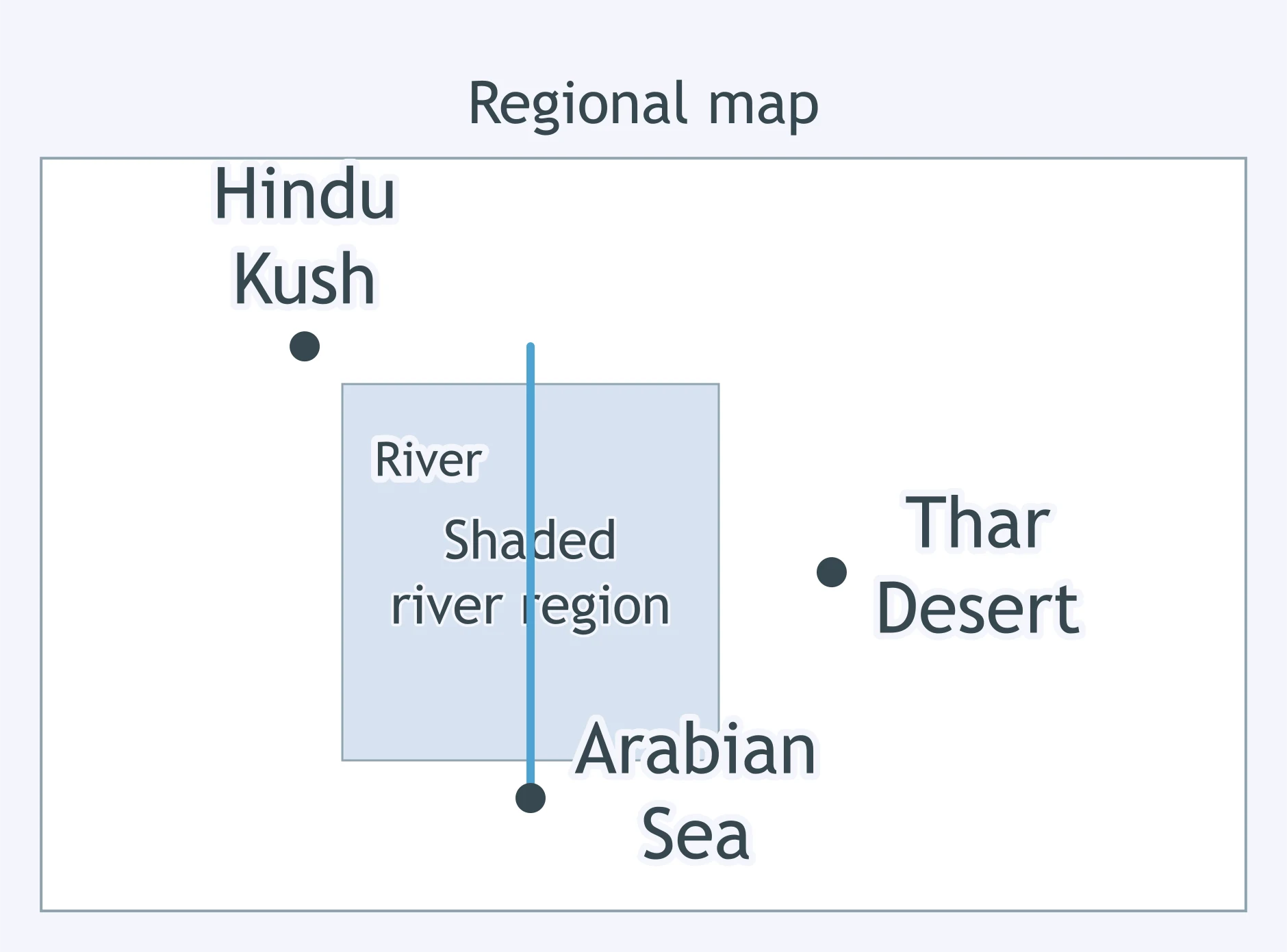
The shaded river region is north of the Arabian Sea, southeast of the Hindu Kush, and west of the Thar Desert. Which region is shaded?
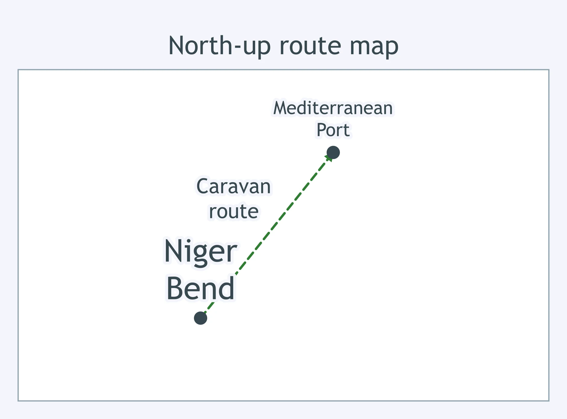
A trader starts at the Niger Bend and follows the arrowed caravan route to the Mediterranean port. Which general direction does he travel?
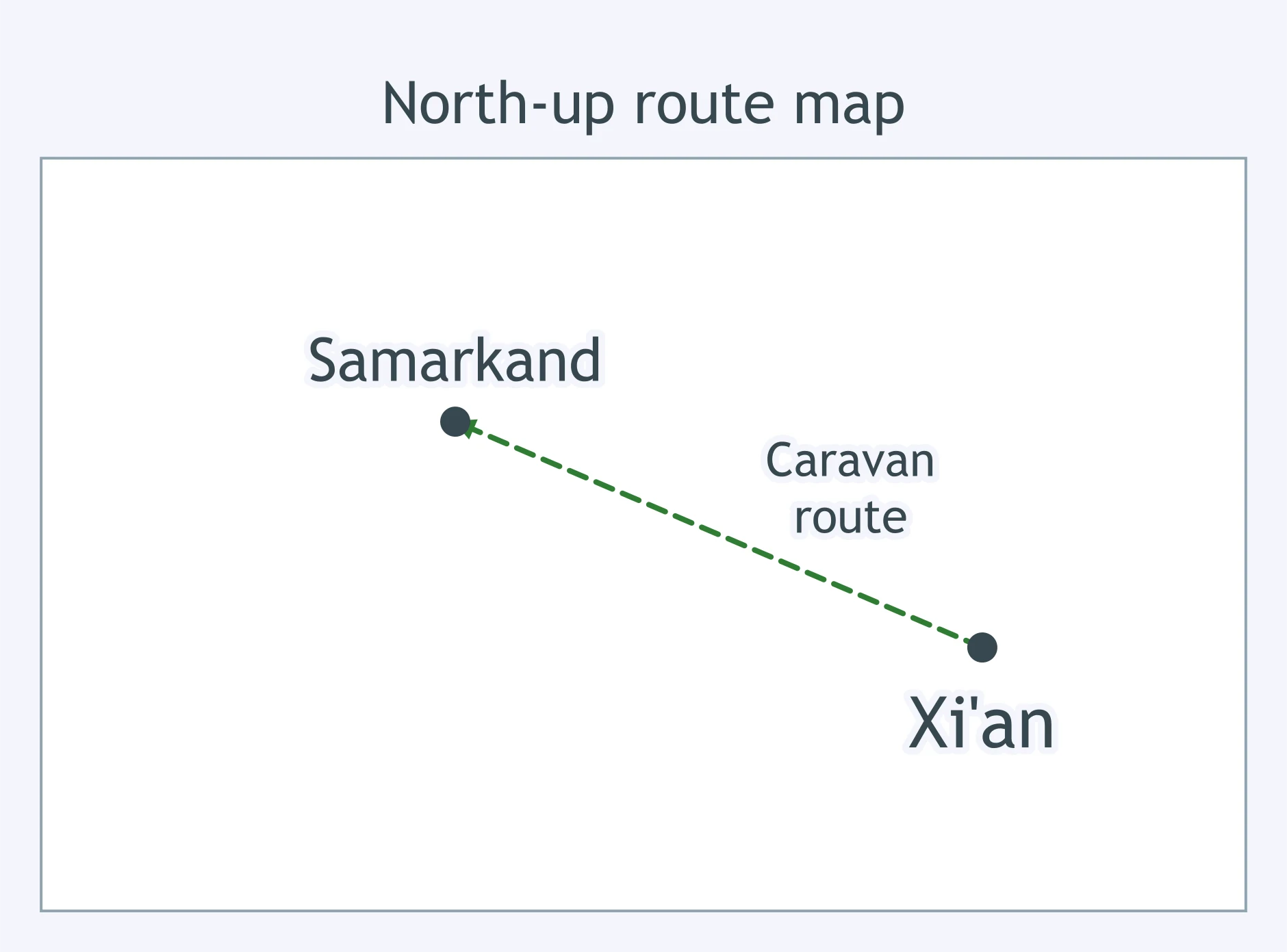
A caravan leaves Xi'an and follows the arrowed route toward Samarkand. Which general direction does the route show?
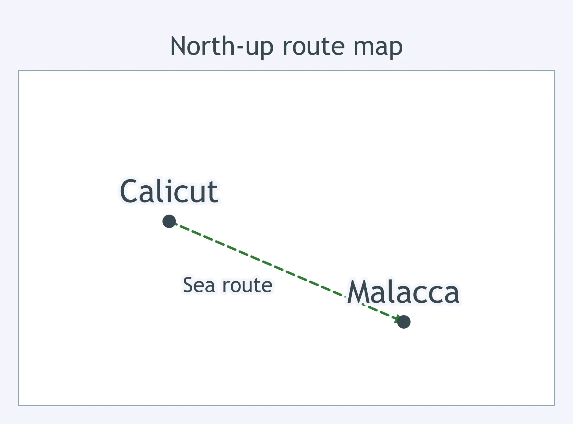
A ship sails from Calicut and follows the arrowed sea route to Malacca. Which general direction does the map show?
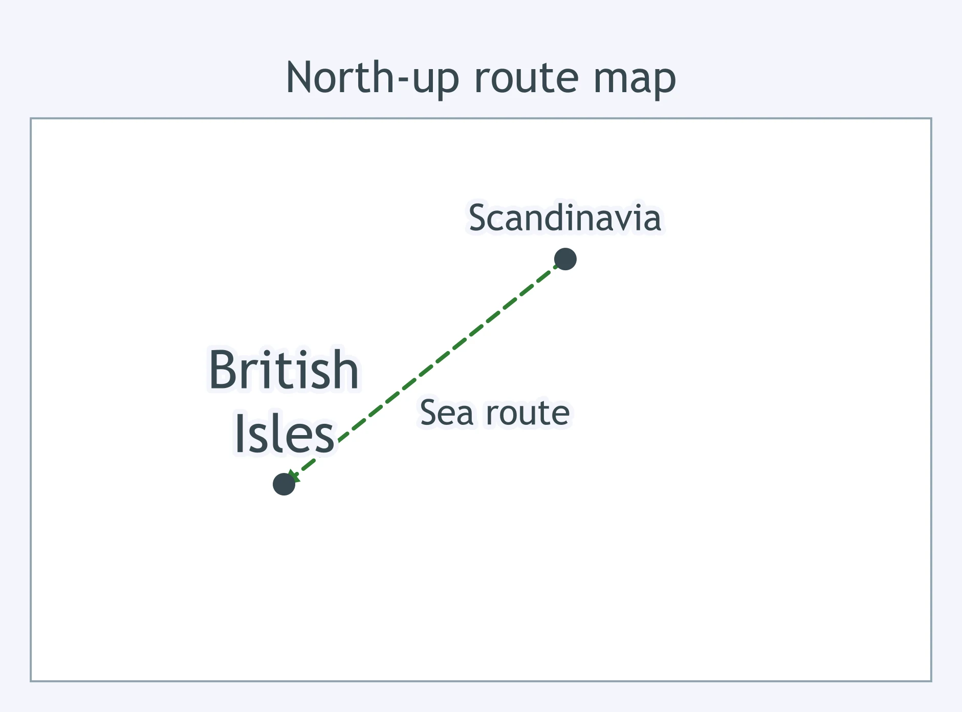
A Viking ship leaves Scandinavia and follows the arrowed route to the British Isles. Which general direction does it travel?
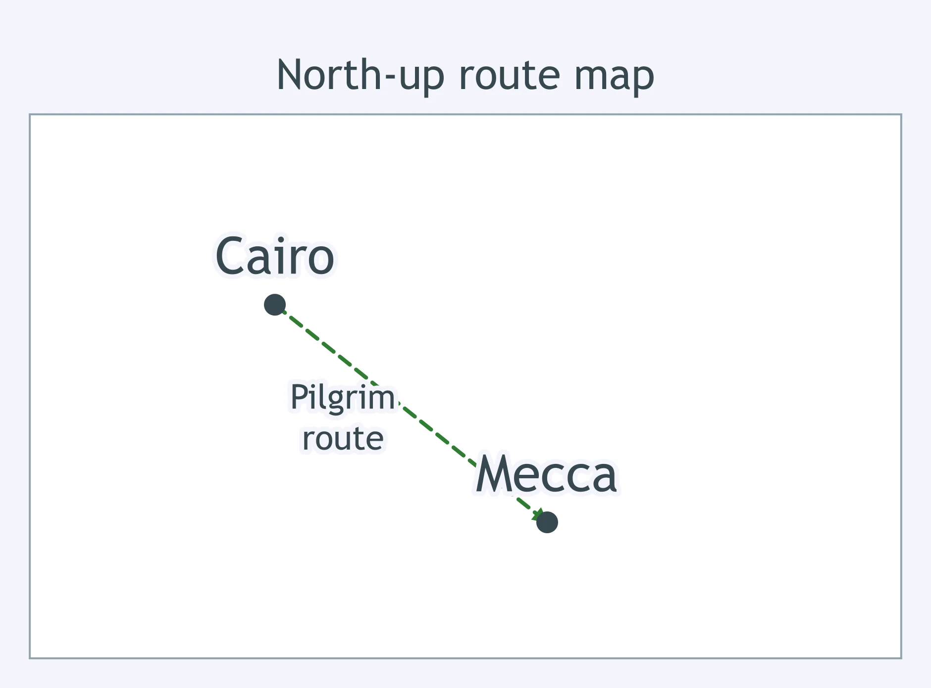
A pilgrim leaves Cairo and follows the arrowed route to Mecca. Which general direction does the route show?
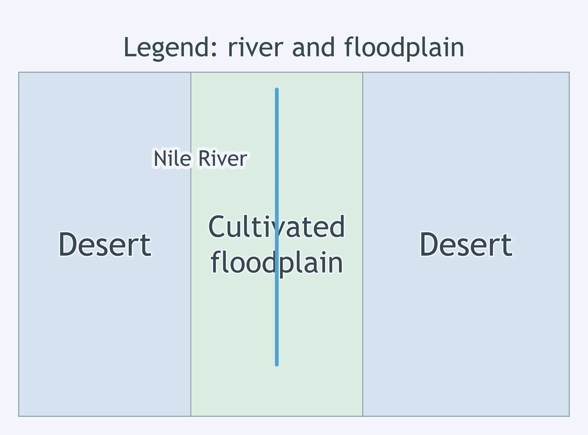
Use the legend on the map. Where does nearly all the cultivated floodplain appear?
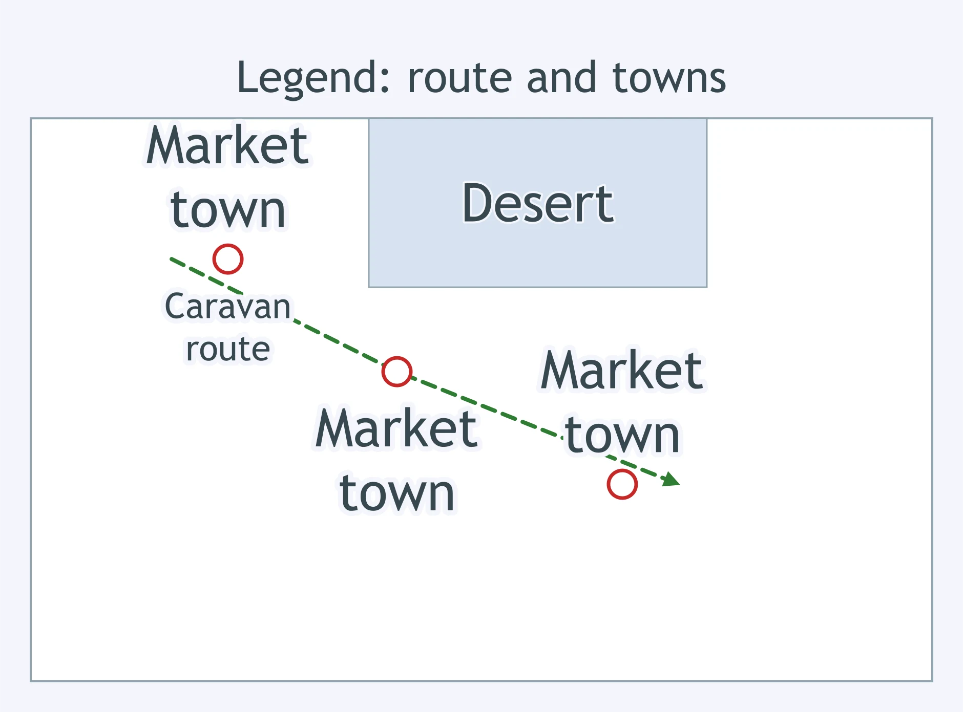
Use the legend's town symbols. What pattern do the market towns show?
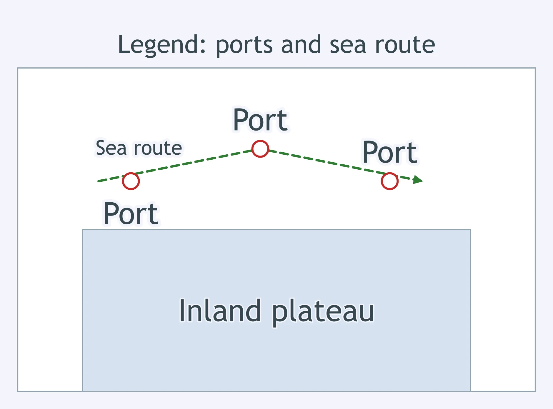
According to the legend, where are most of the marked trading ports located?
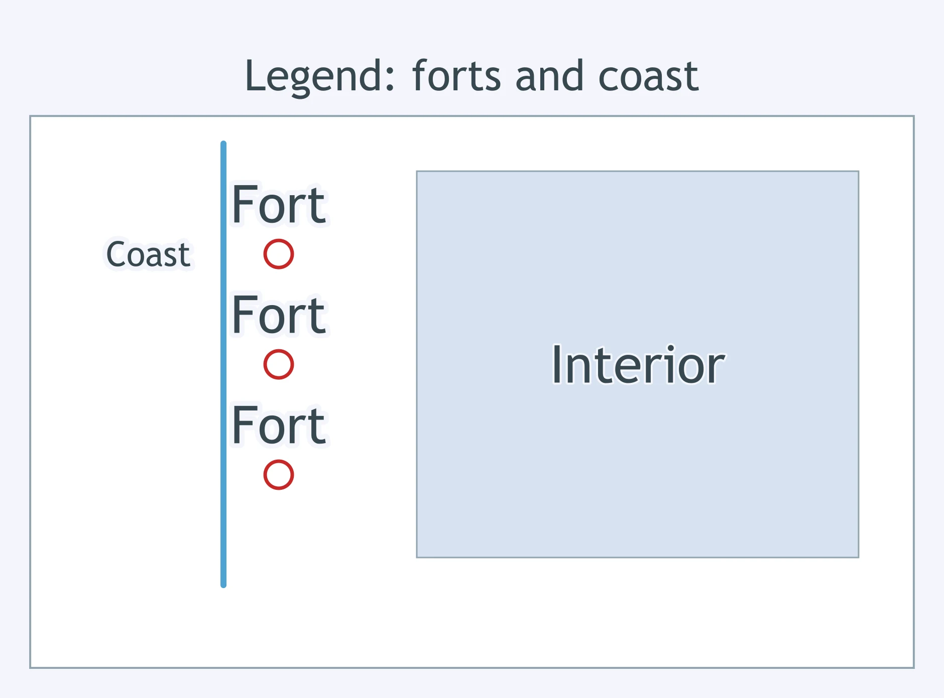
Read the legend and symbols. What pattern do the forts show on this West African coast map?
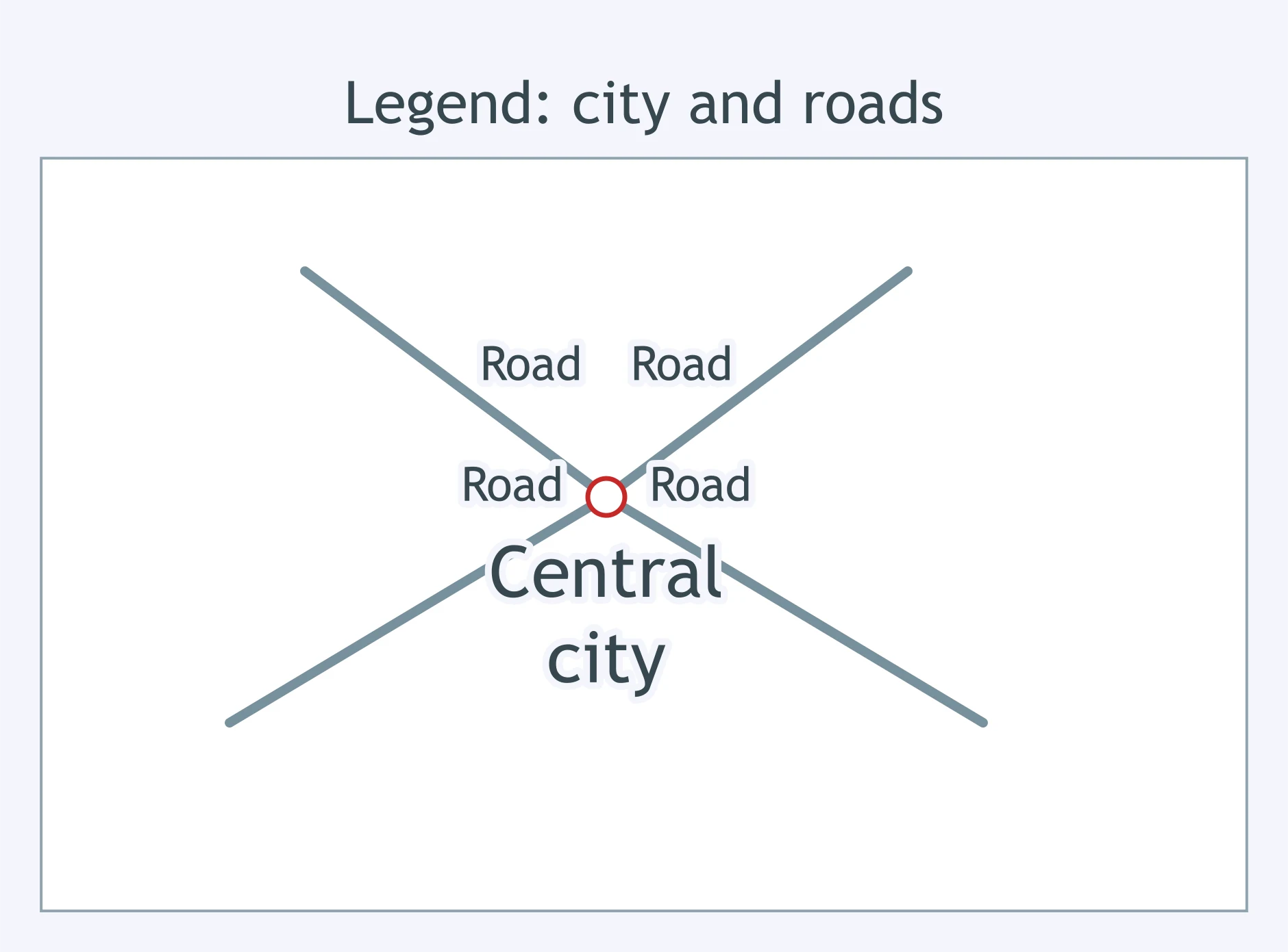
Using the legend, what pattern do the road lines show around the central city?
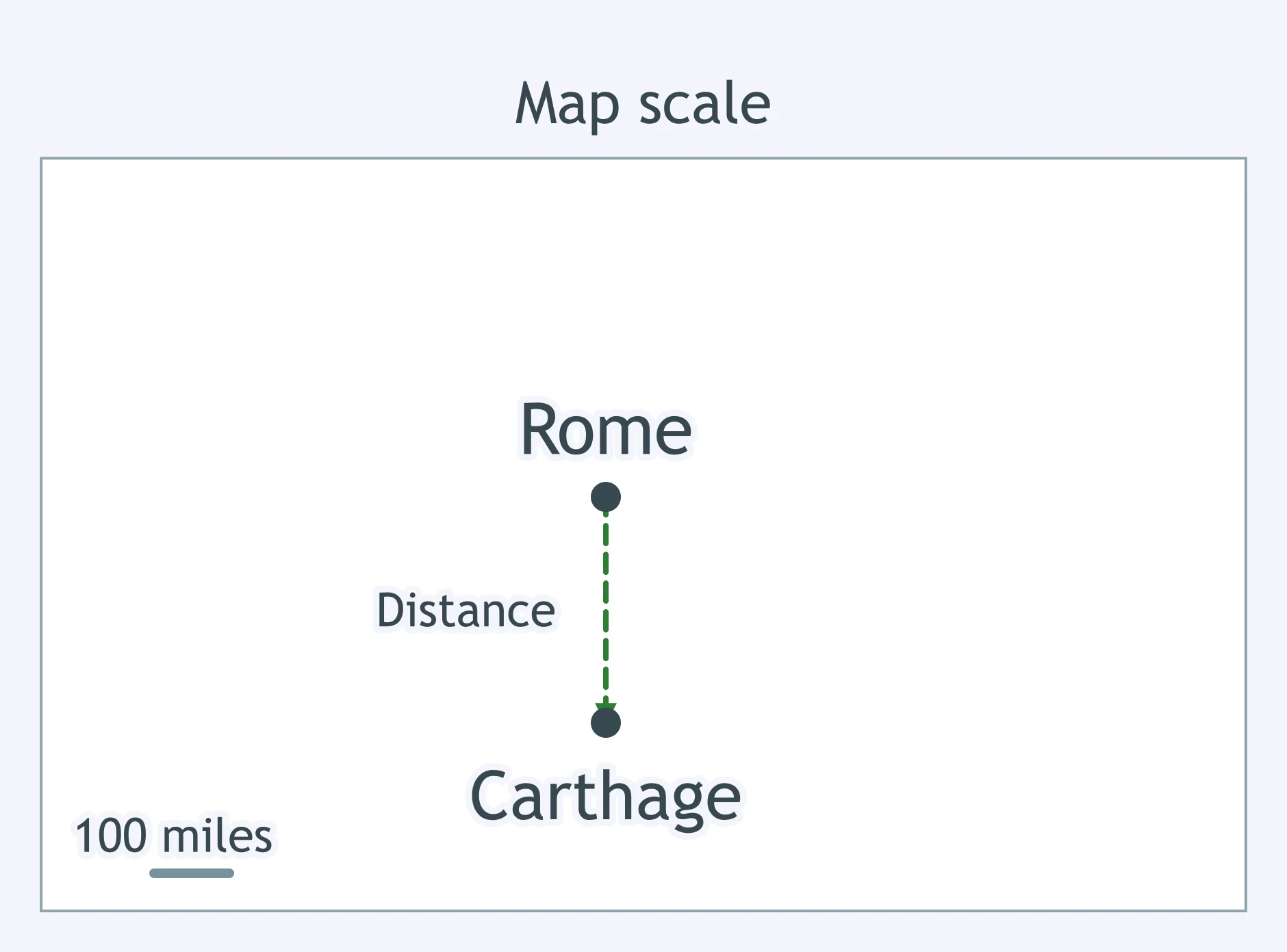
Using the map's scale bar, roughly how far apart are Rome and Carthage in a straight line?
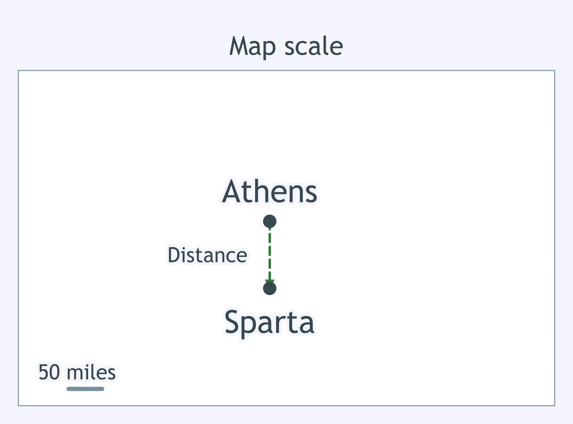
Using the map's scale bar, roughly how far apart are Athens and Sparta in a straight line?
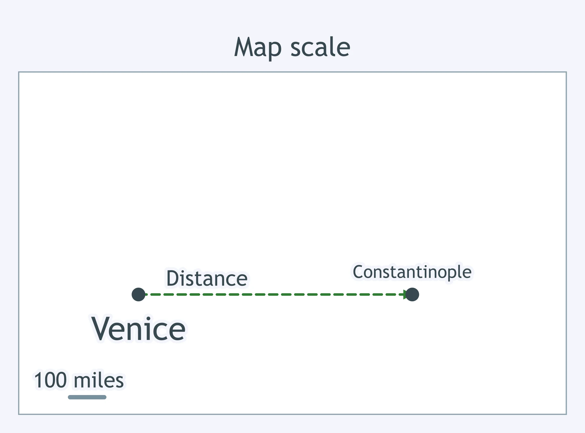
Using the scale bar on this trade map, about how far is Venice from Constantinople in a straight line?
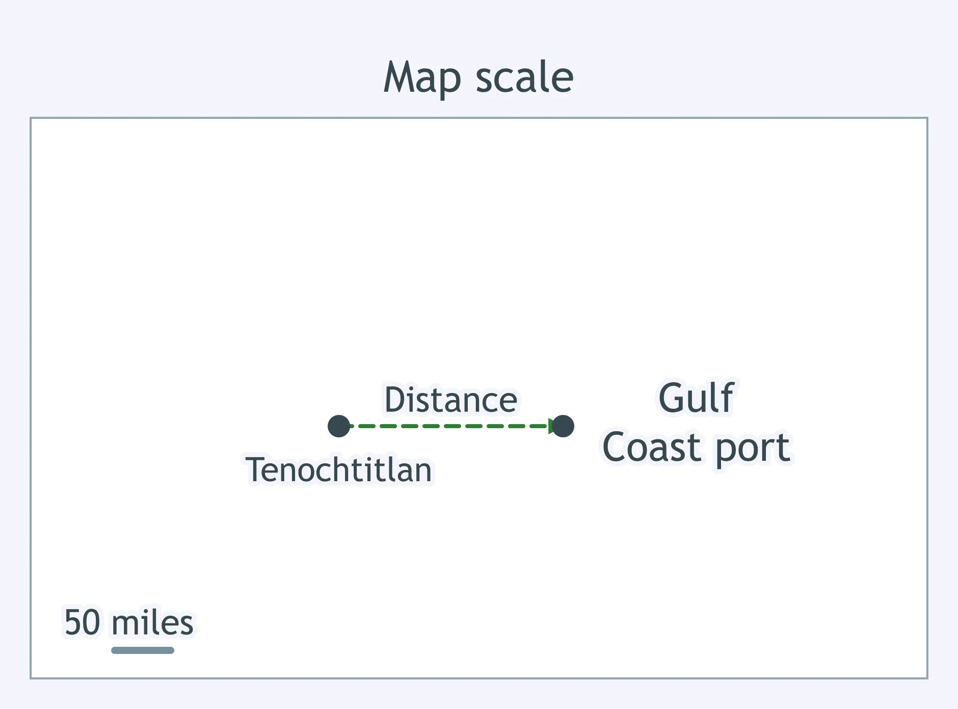
Using the map's scale bar, about how far is Tenochtitlan from the marked Gulf Coast port?
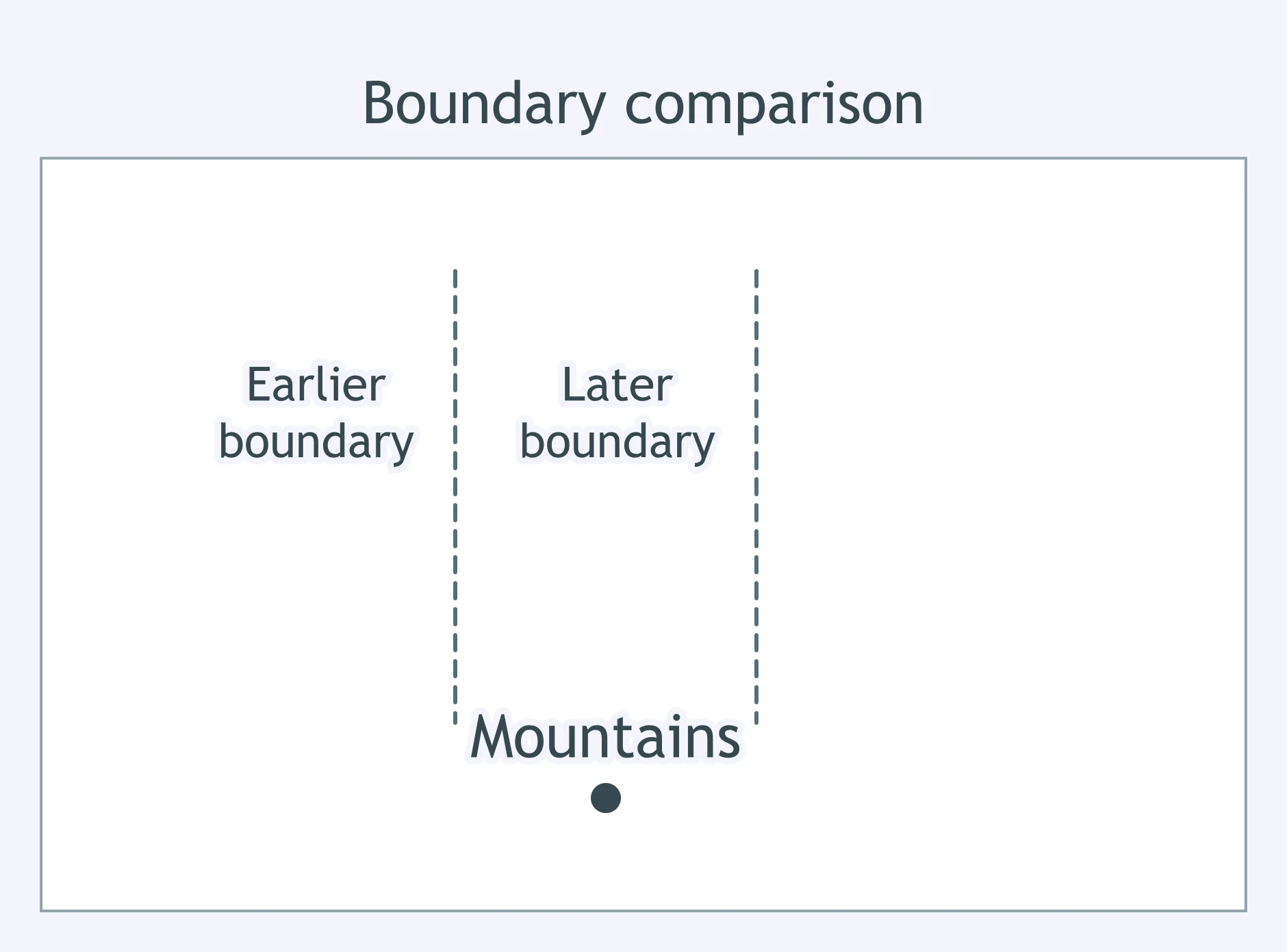
Compare the two boundary lines. What changed from the earlier line to the later line?
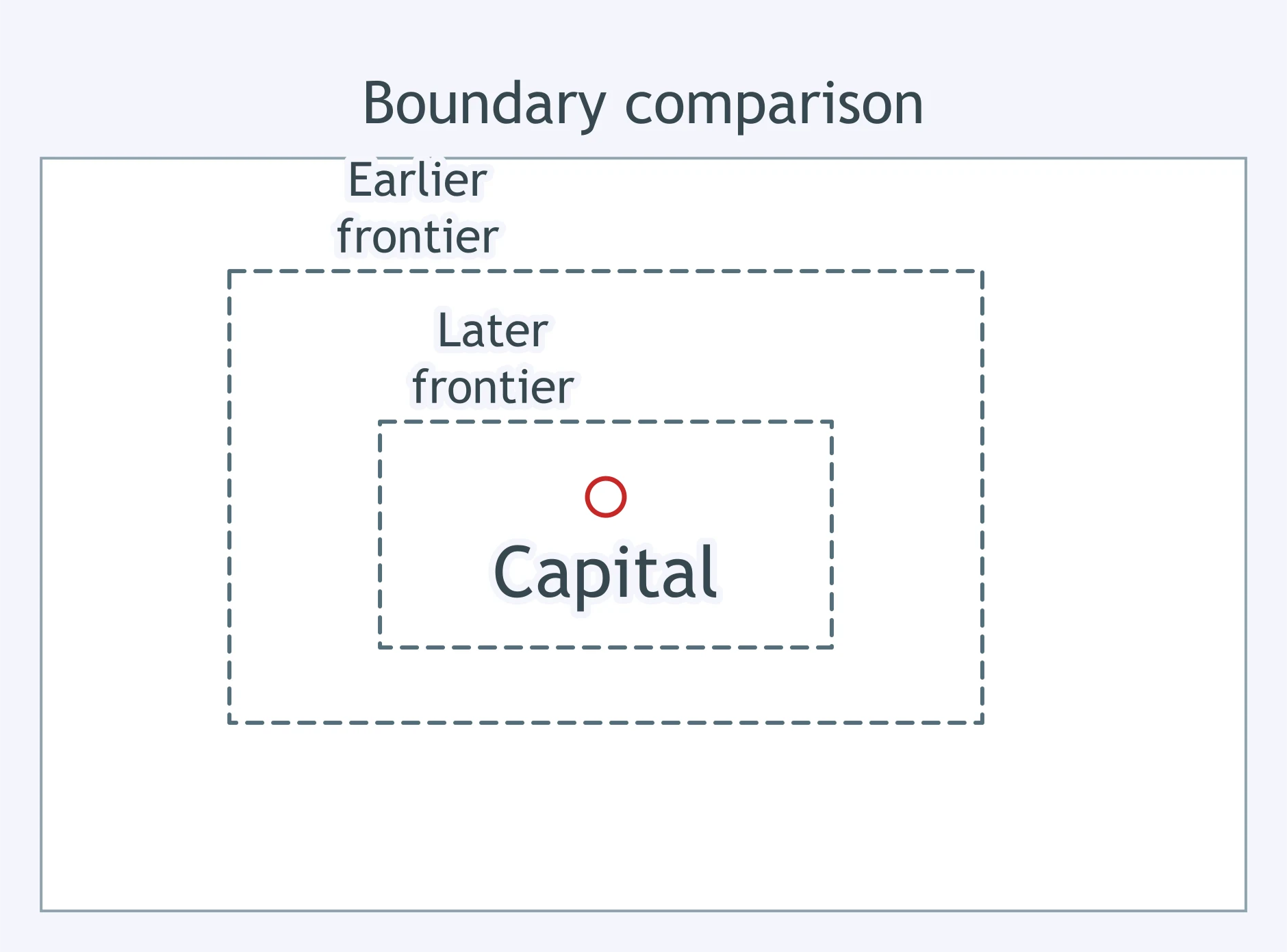
The map shows an earlier frontier and a later frontier around the same capital. What happened by the later date?
Compare the boundary lines to the river. Which statement best describes the change?
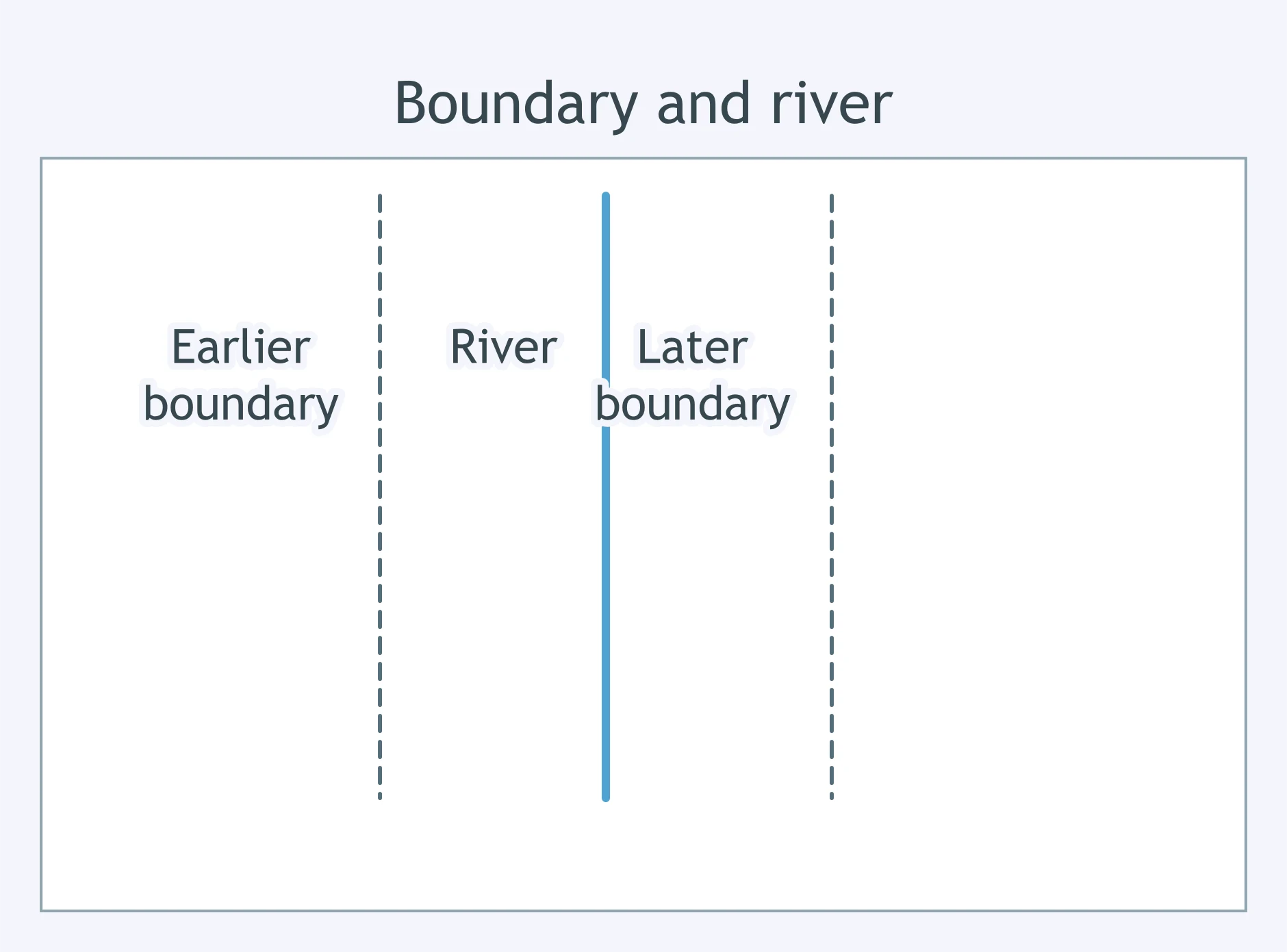
Compare the earlier and later borders on this north-up map. What changed?
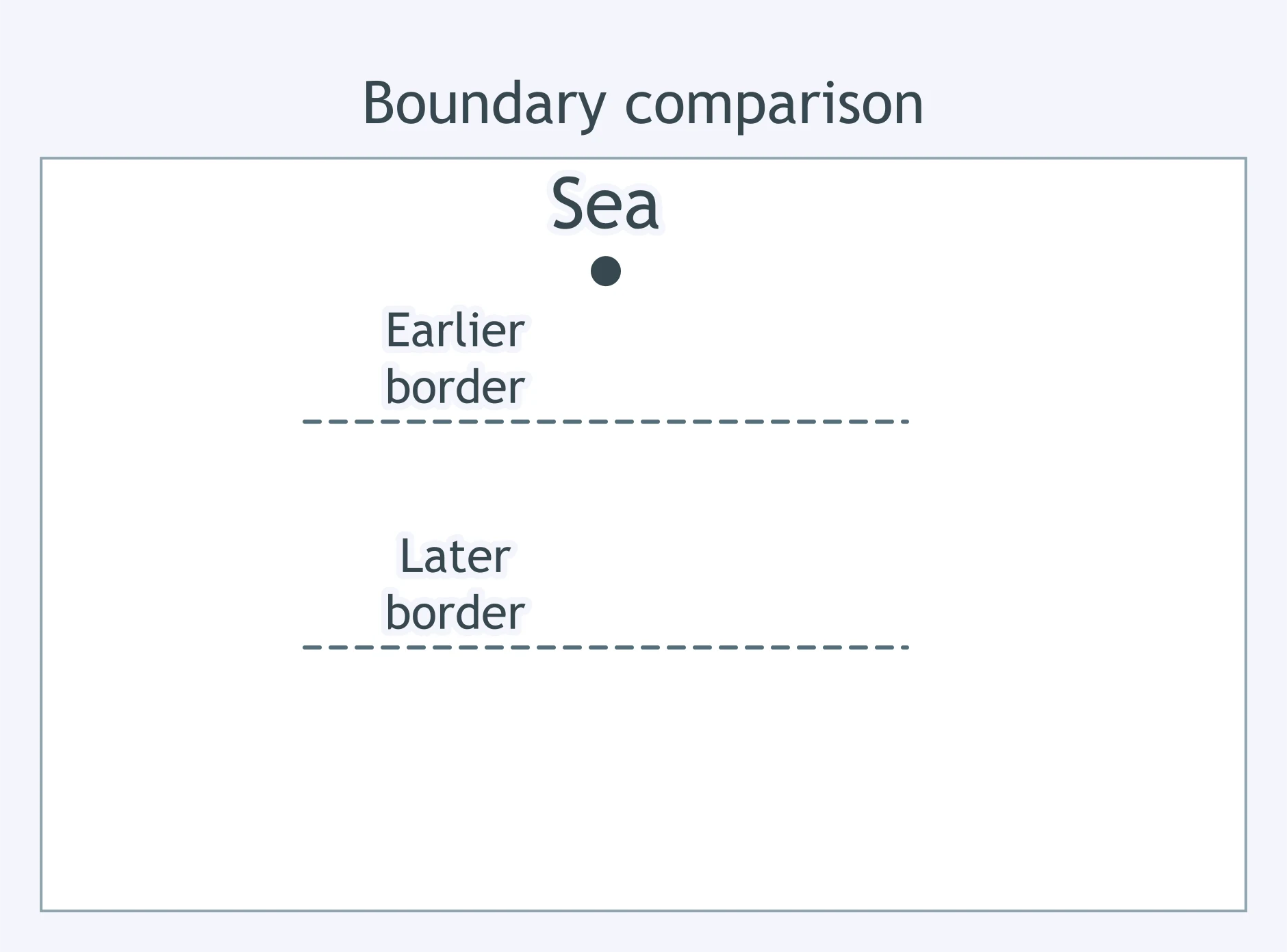
A historical map uses different colors for empires and dashed lines for trade routes. Which part tells readers what those symbols mean?
A map has a short bar marked off in miles. What does that bar help a reader estimate?
A map's north arrow points toward the top right corner instead of straight up. What should a reader use it to determine?
Why can a flat world map distort the size or shape of land areas?
On a political map of an empire, what does a boundary line usually mark?
A map title says 'Trade Routes of the Indian Ocean, 1400s.' What does that title mainly tell the reader?
A large map of Afro-Eurasia includes a small boxed map that zooms in on the Mediterranean. What is that boxed map called?
A map has a grid of letters and numbers around its edges. What is the grid mainly for?
A European world map made before Columbus's voyages shows Europe, Africa, and Asia but no Americas. What is the safest historical conclusion?
A colonial map labels settled Indigenous homelands as 'empty land.' What should a historian consider first?
A portolan chart shows detailed coastlines and harbors but little information about inland mountains. What is it best evidence for?
Two rival empires publish maps coloring the same borderland as their own. What can the maps best show?
A tax map shades only fields listed in government records. What is the map strongest evidence of?
A printed map from 1700 copies an older, inaccurate coastline from a map made decades earlier. What does that copying help prove?
Old maps from different countries use different names for the same sea. What can that difference help historians study?
A treaty map draws a new border through a region, but travel accounts say troops controlled only a few towns. What should a historian conclude?
Crack the passcode before the zombies get in.
Answer, then swat bugs for bonus points.
Race through questions at your own speed.
Same question on every screen. Fastest wins.

Pick a tile, answer, hit bonuses and steals.
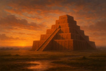
Mesopotamia: Sumer, Akkad and Babylon
35 questions