Loading
by BlastRoom
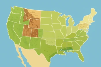
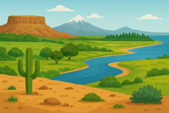
Compare major United States landforms and bodies of water and the regions where they are found.
#geography#us_regions#us_grade_4_social_studies
40 questions
One question set, multiple game modes. Tap any game to see it in action. Not sure which to pick?
A wide river flows south through the middle of the country, past farms and cities, and empties into the Gulf of Mexico. Which river is this?
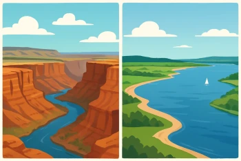
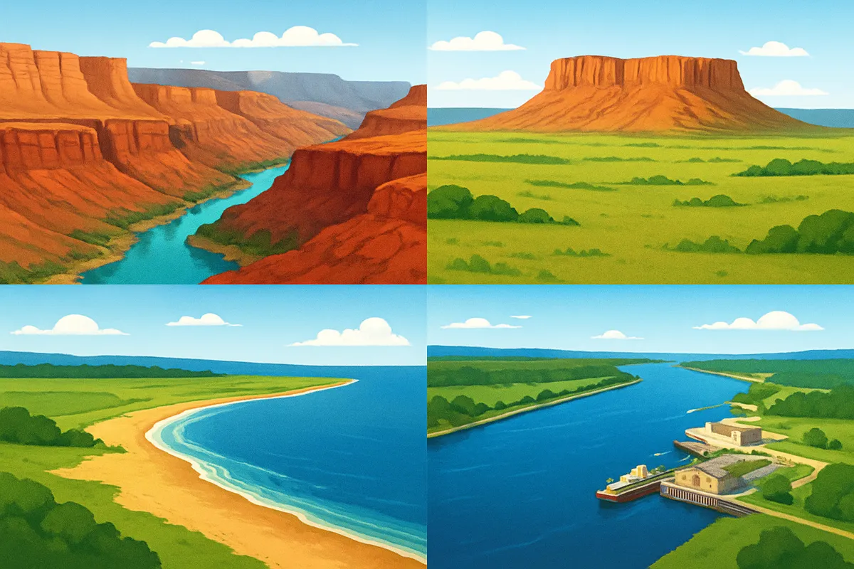
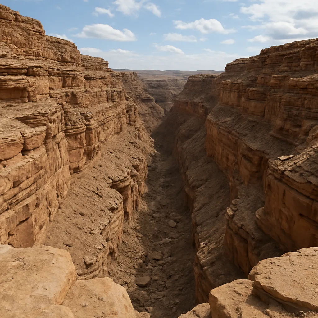
Over millions of years the Colorado River cut down through layers of rock, leaving steep walls and a narrow valley floor far below. What landform did the river create?
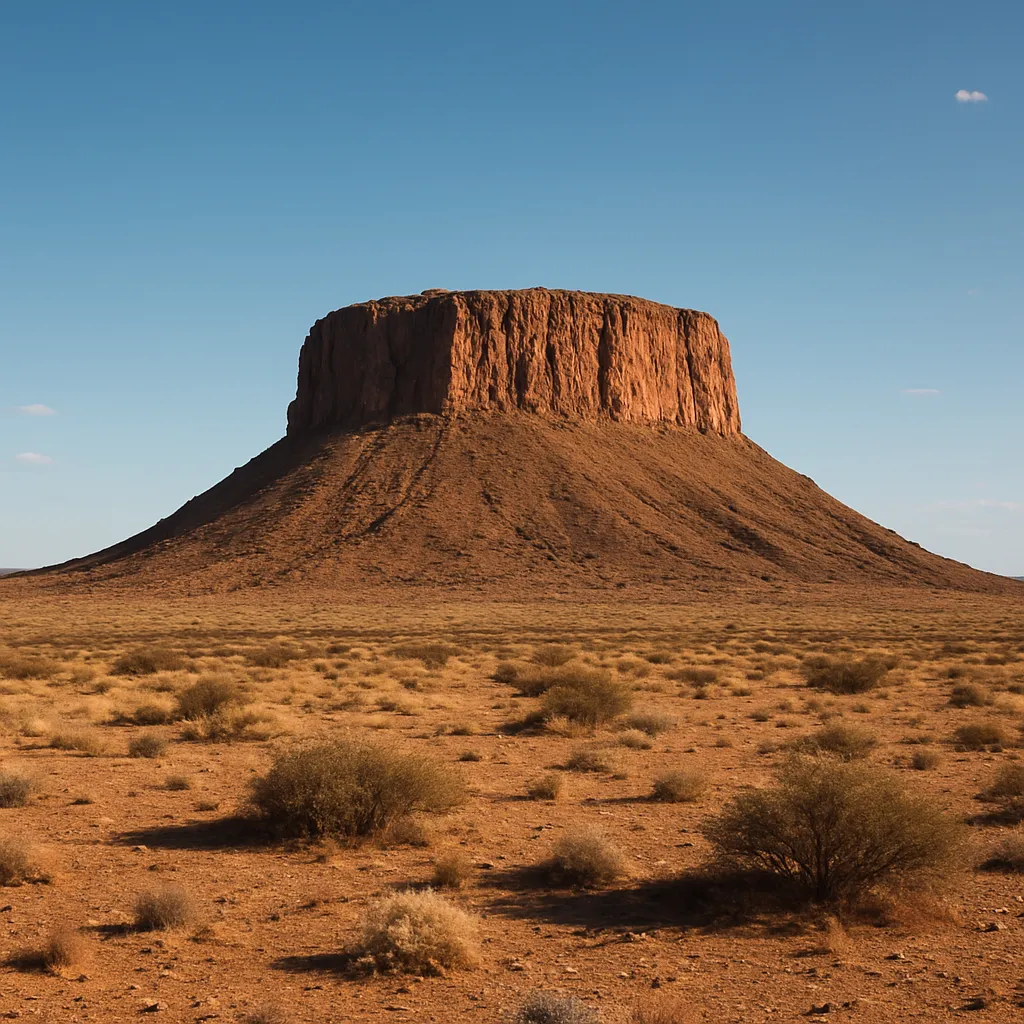
Much of the Southwest sits on high land that is flat on top but rises sharply above the land around it. What landform is described?
Farmers on the Great Plains grow huge fields of wheat and corn. Which feature of the Great Plains most helps them do this?
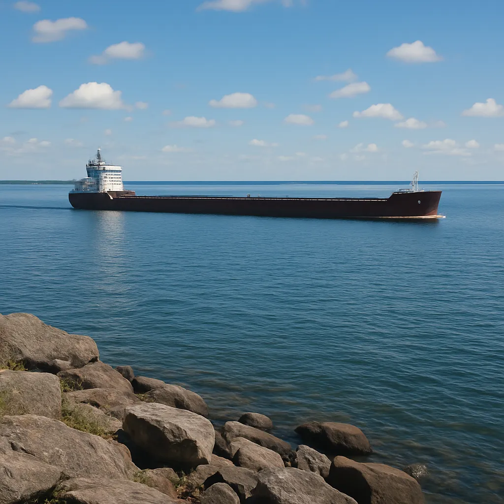
Ships carry grain and iron ore across five large freshwater lakes that lie along the border between the United States and Canada. What are these lakes called?
The Appalachian Mountains reach a higher elevation than the Rocky Mountains.
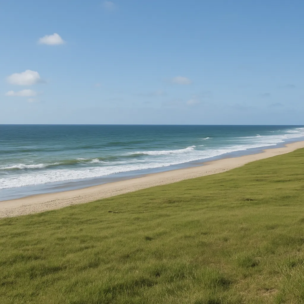
Along the Atlantic shore of the Southeast, the land is low and flat and slopes gently down to the ocean. What landform is this?
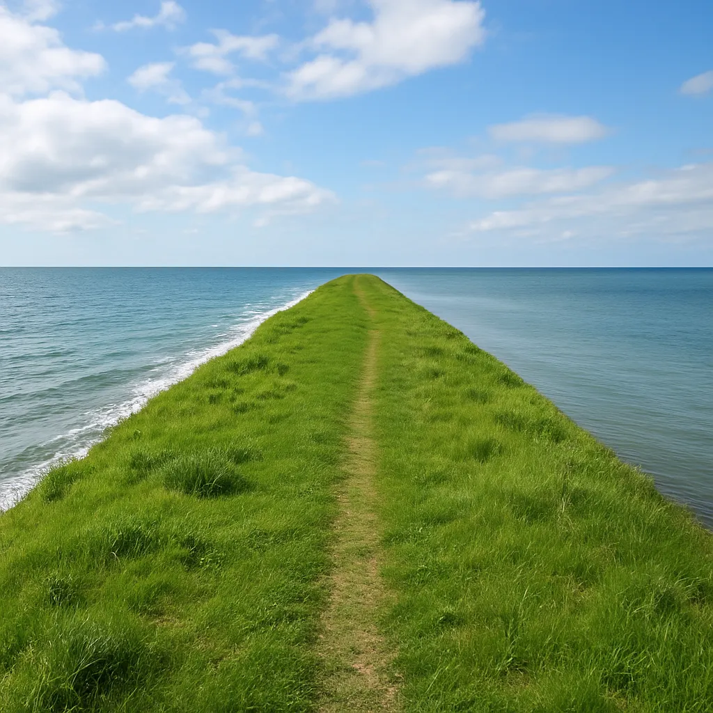
Florida is a piece of land that has ocean water on three of its sides and is joined to the rest of the country on the fourth. What is this landform called?
In the West, Rocky Mountain peaks stand more than 10,000 feet above sea level, while the Pacific shoreline lies right at sea level. Which word names a place's height above sea level?
Hikers climb snow-covered peaks in the Rocky Mountains, a long mountain range that runs north and south through states such as Colorado and Montana. In which region are they hiking?
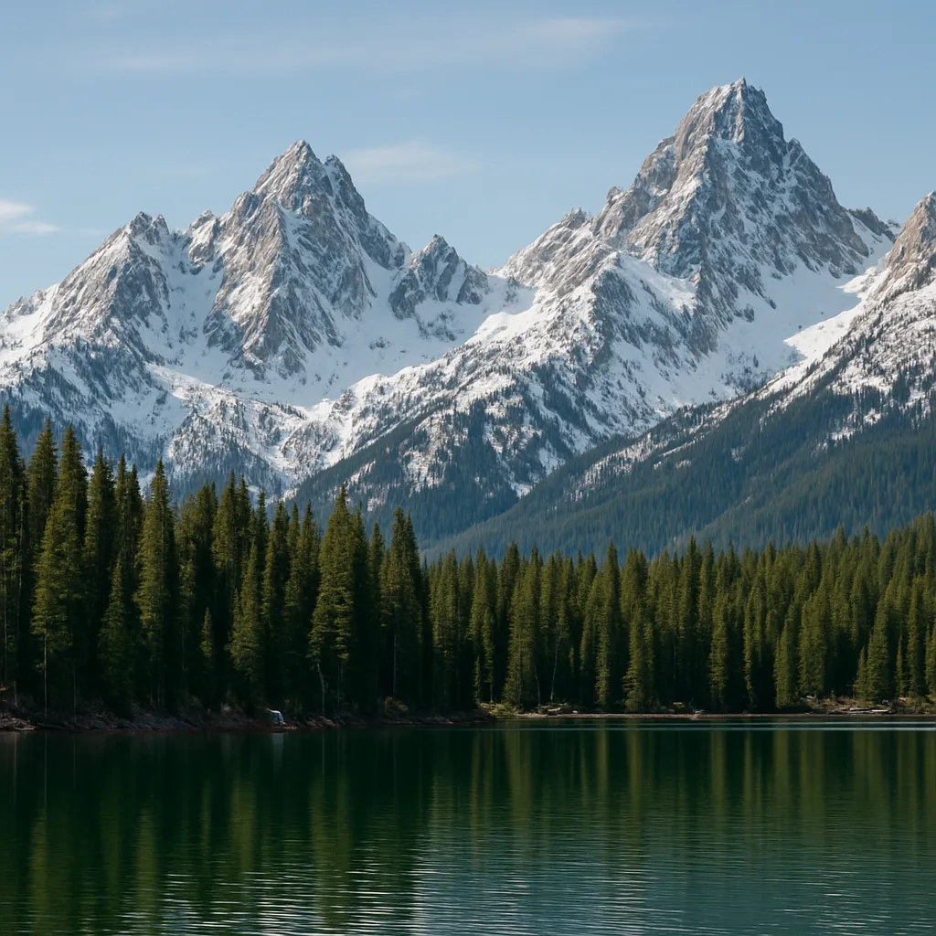
The Appalachian Mountains are much older than the Rocky Mountains and have been worn down by weather for a longer time, so their peaks are lower and more ___.
Coal is dug out of the ground in parts of the Appalachian Mountains and burned to make electricity. Coal taken from the earth is an example of a ___.
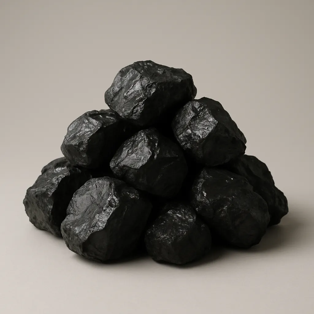
Which landform is a high area of land with steep sides and a peak?
This long river flows from the Rocky Mountains across the Great Plains and joins the Mississippi River near St. Louis, Missouri. Which river is this?
A plain is usually best described as which kind of landform?
Which landform is made of soil and sand that a river drops where it flows into a larger body of water?
This river flows west from the Appalachian Mountains, past Pittsburgh and Cincinnati, before joining the Mississippi River. Which river is this?
What is an island?
Which body of water flows across land in a channel?
This river forms much of the border between the United States and Mexico and flows southeast into the Gulf of Mexico. Which river is this?
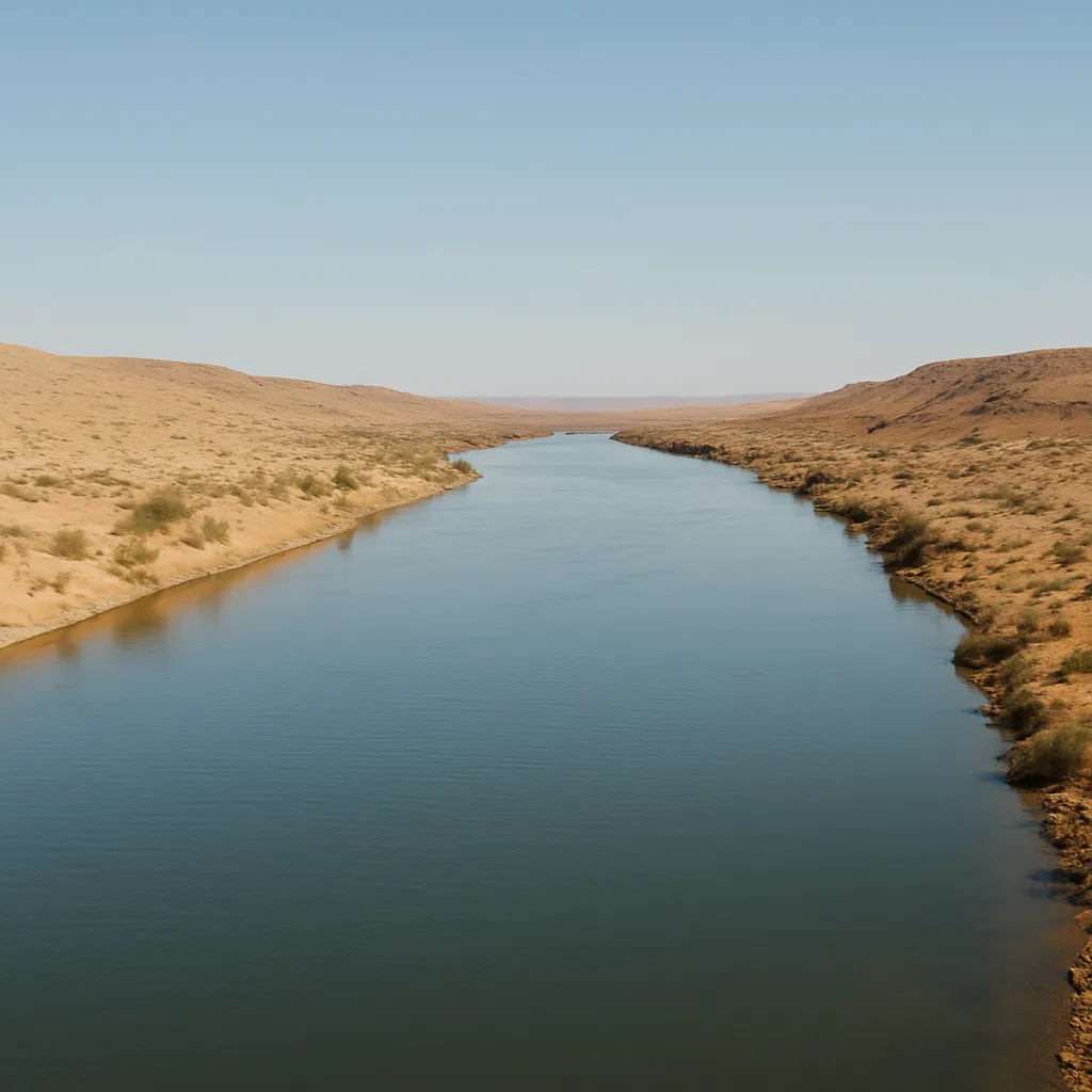
Which body of water is the largest and is made of salt water?
This river begins in the Rocky Mountains, flows through the Southwest, and forms part of the border between Arizona and California before emptying into the Gulf of California. Which river is this?
An area of land where all the rain and rivers drain into one main river, lake, or sea is called a ___.
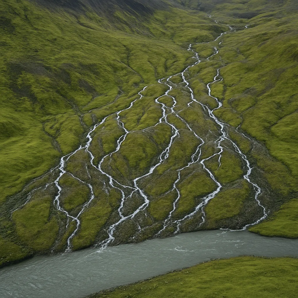
A sheltered area of water along a coast where ships can safely load, unload, and dock is called a ___.
The Ohio and Missouri Rivers both flow into the Mississippi River. A smaller river or stream that flows into a larger river is called a ___.
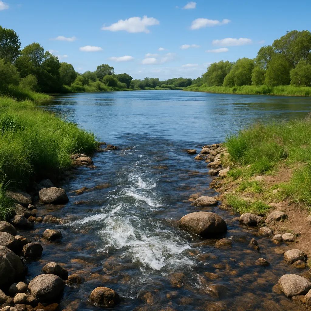
The mouth of a river is the place where the river begins.
The Rio Grande forms part of the border between the United States and Mexico. In which U.S. region does the Rio Grande mainly flow?
The Missouri River crosses the Great Plains through states such as Nebraska, South Dakota, and Iowa. In which U.S. region are these states?
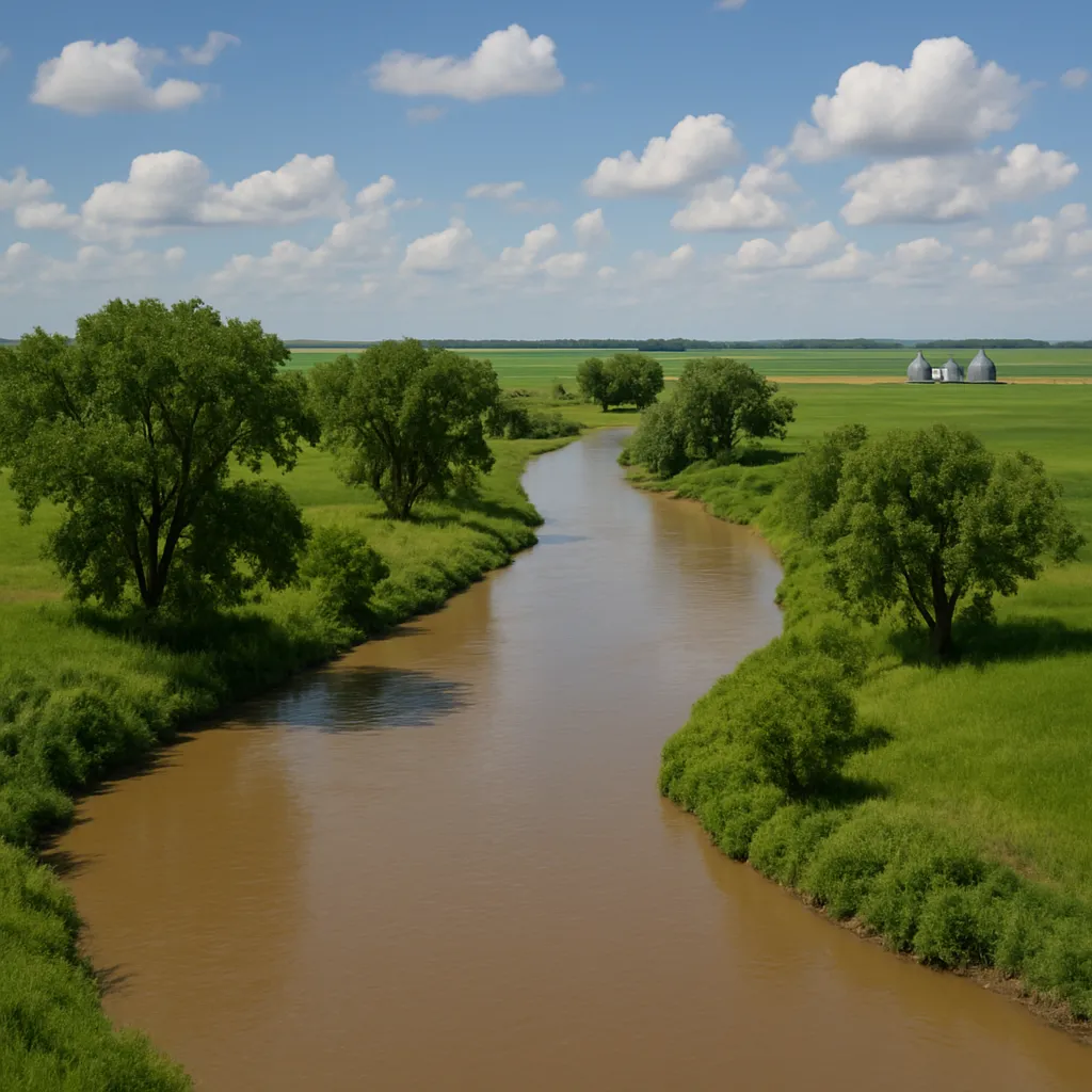
Which landform is lower than the land around it and may have a river running through it?
Lake Michigan is the only Great Lake that lies completely inside the United States.
Which ocean is on the east coast of the United States?
Which ocean is on the west coast of the United States?
The Mississippi River begins in Minnesota, in the northern part of the country.
Which U.S. landform region is a wide, grassy area that lies just east of the Rocky Mountains?
Which mountain range runs through Washington and Oregon and includes volcanoes such as Mount St. Helens?
Which major mountain range is in the eastern United States?
Erosion can slowly wear away landforms by moving soil and rock.
Which natural force can help carve a canyon over a very long time?
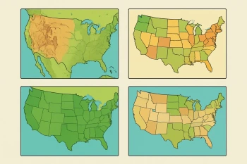
A physical map shows state borders and the size of city populations instead of landforms and bodies of water.
Which pair correctly matches a river with the body of water it flows into?
Crack the passcode before the zombies get in.

Pick a tile, answer, hit bonuses and steals.
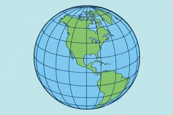
Introducing Latitude and Longitude
40 questions