Loading
by BlastRoom
Explore the four physical regions of Texas and the American Indian nations connected to each one.
#state_spotlight#texas#us_grade_4_social_studies
40 questions
One question set, multiple game modes. Tap any game to see it in action. Not sure which to pick?
One physical region of Texas is low and flat, meets the Gulf of Mexico, and has bays, marshes, and sandy barrier islands. Which region is it?
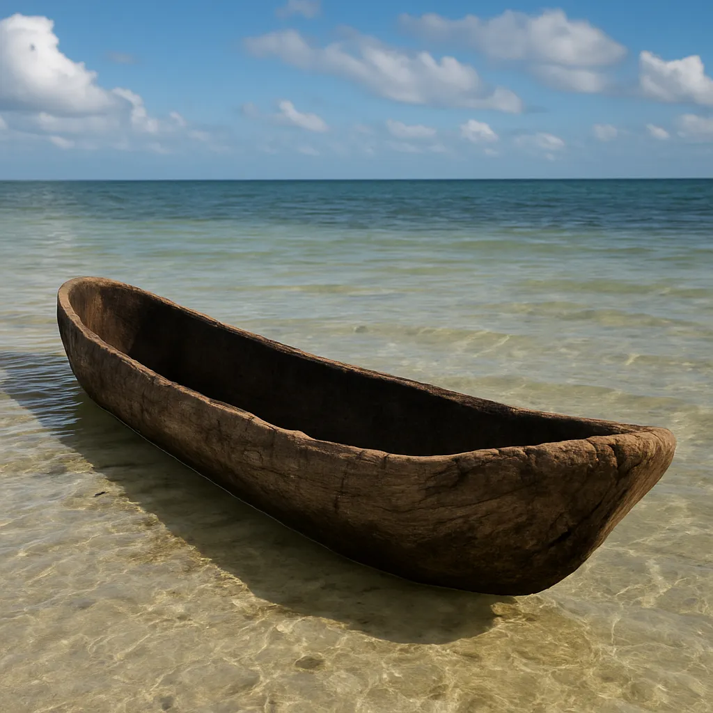
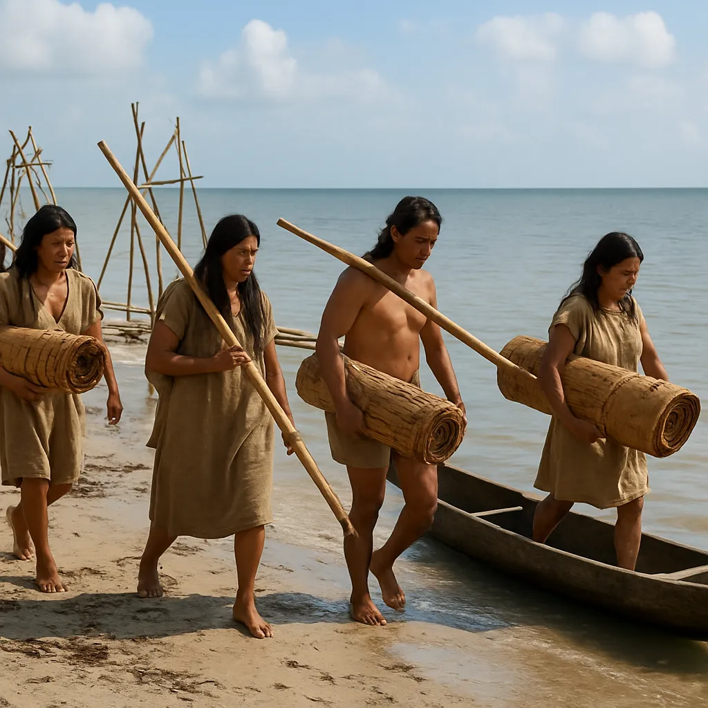
One nation of the Texas region fished and gathered shellfish in the shallow bays and lagoons of the Gulf coast and traveled them in dugout canoes. Which nation is described?
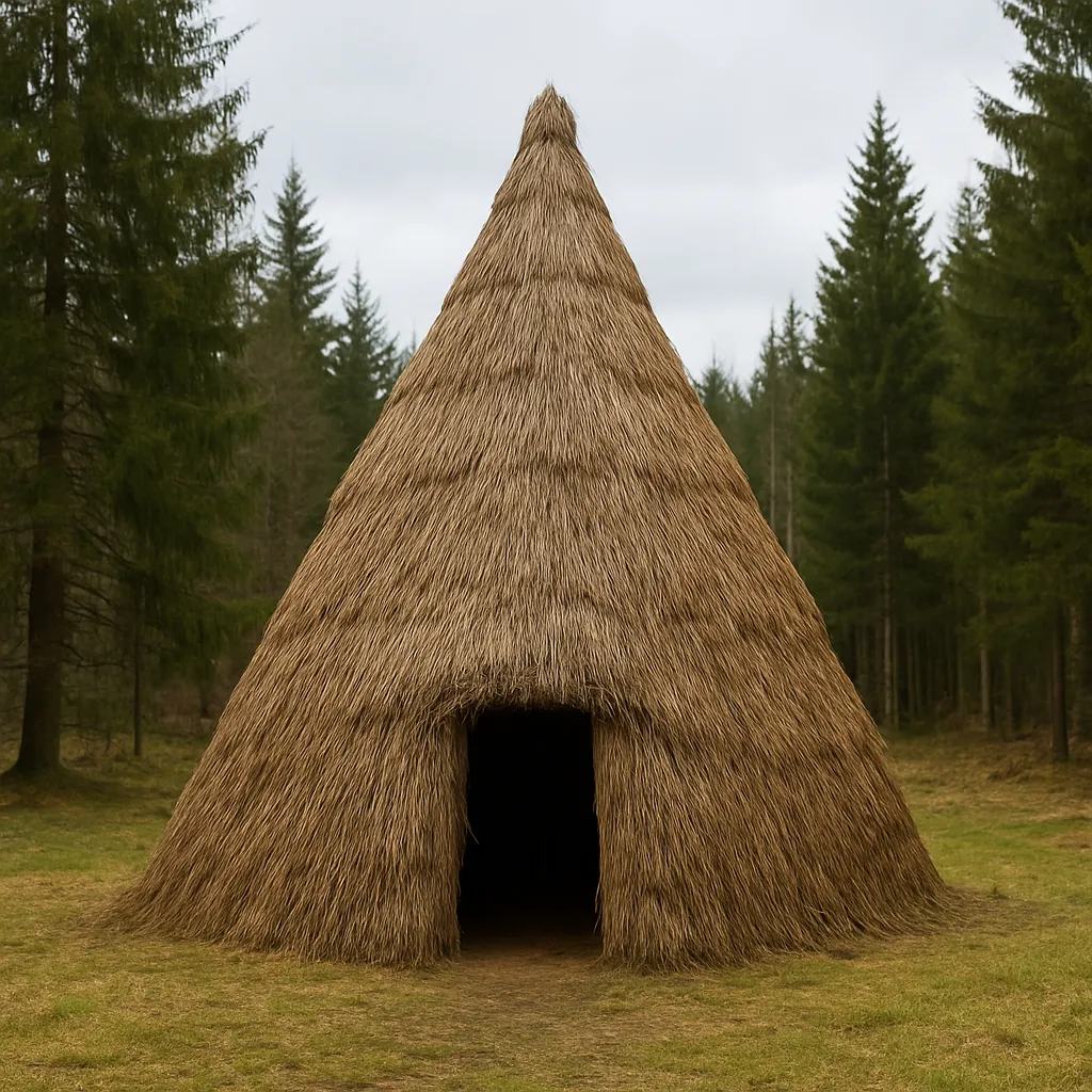
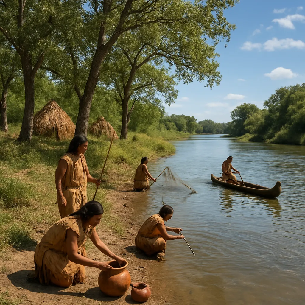
In the wet, wooded eastern part of Texas, one nation farmed corn, beans, and squash and built tall houses covered with bundles of grass. Which nation is described?
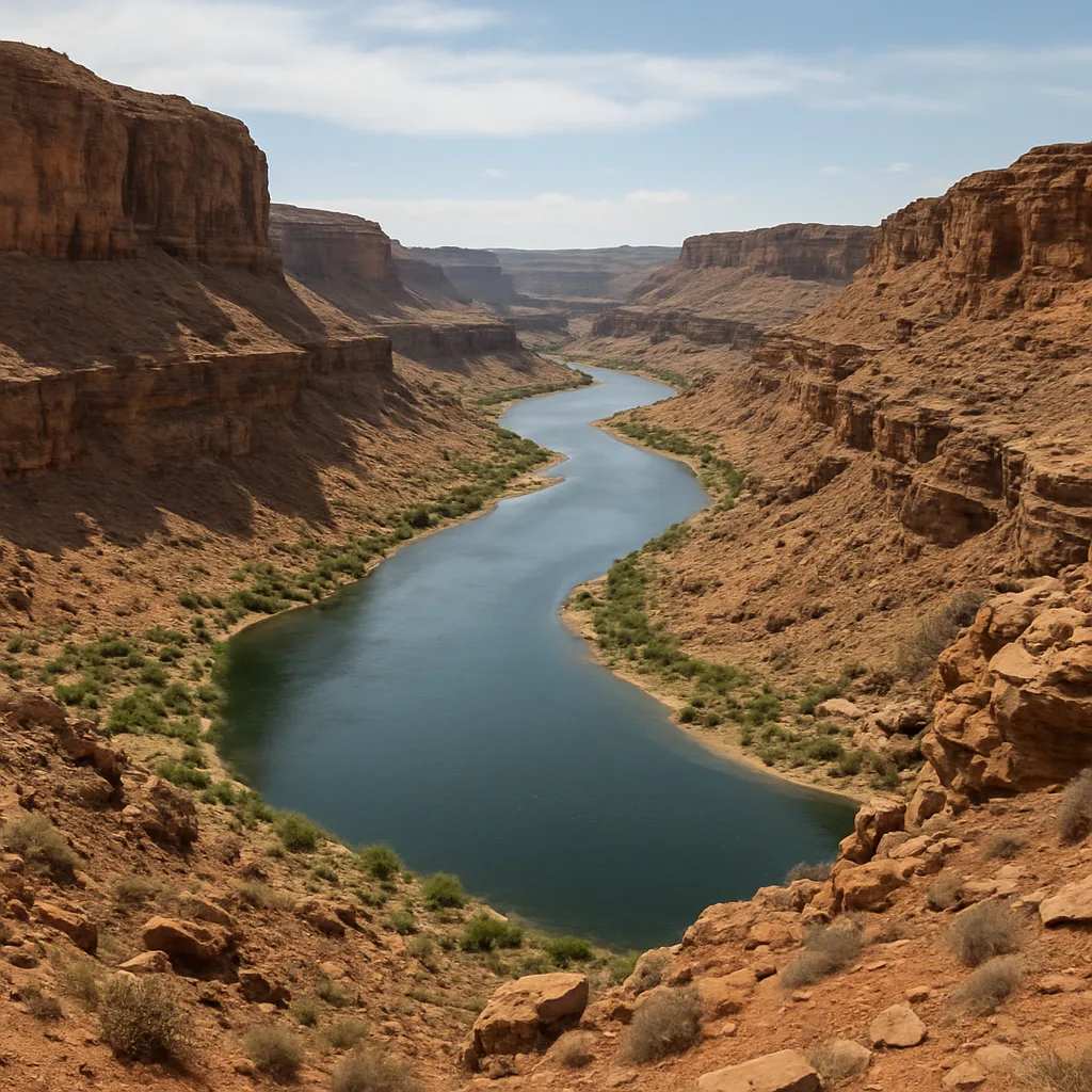
The far western corner of Texas, around El Paso and Big Bend, gets the least rain of anywhere in the state and holds Guadalupe Peak, the highest point in Texas. That land belongs to which physical region?
The ___ forms the long border between Texas and the country of Mexico.
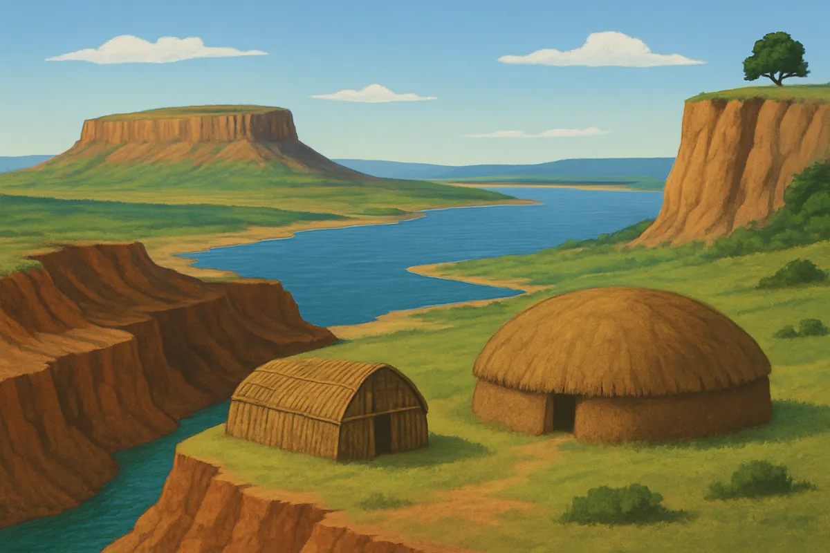
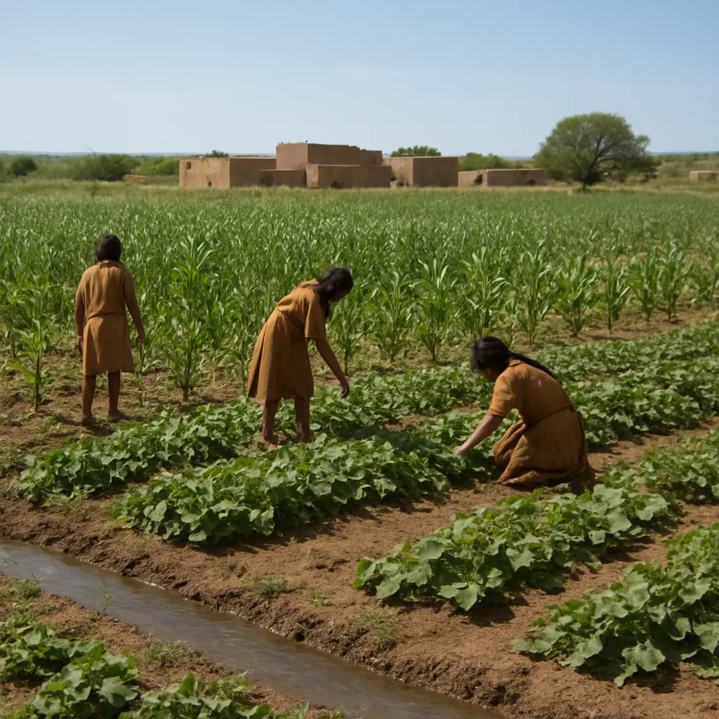
In dry far west Texas, one nation grew crops in fields watered from the Rio Grande and carried trade goods between distant groups. Which nation is described?
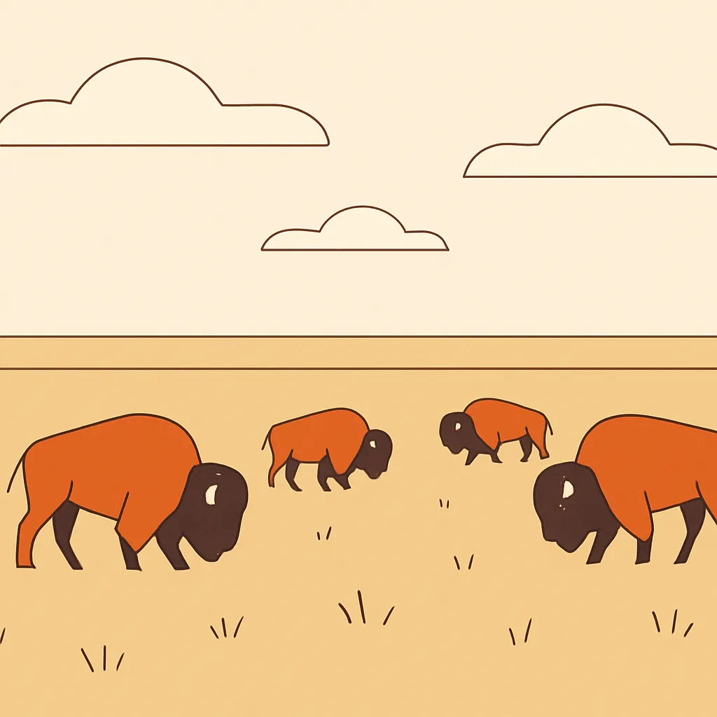
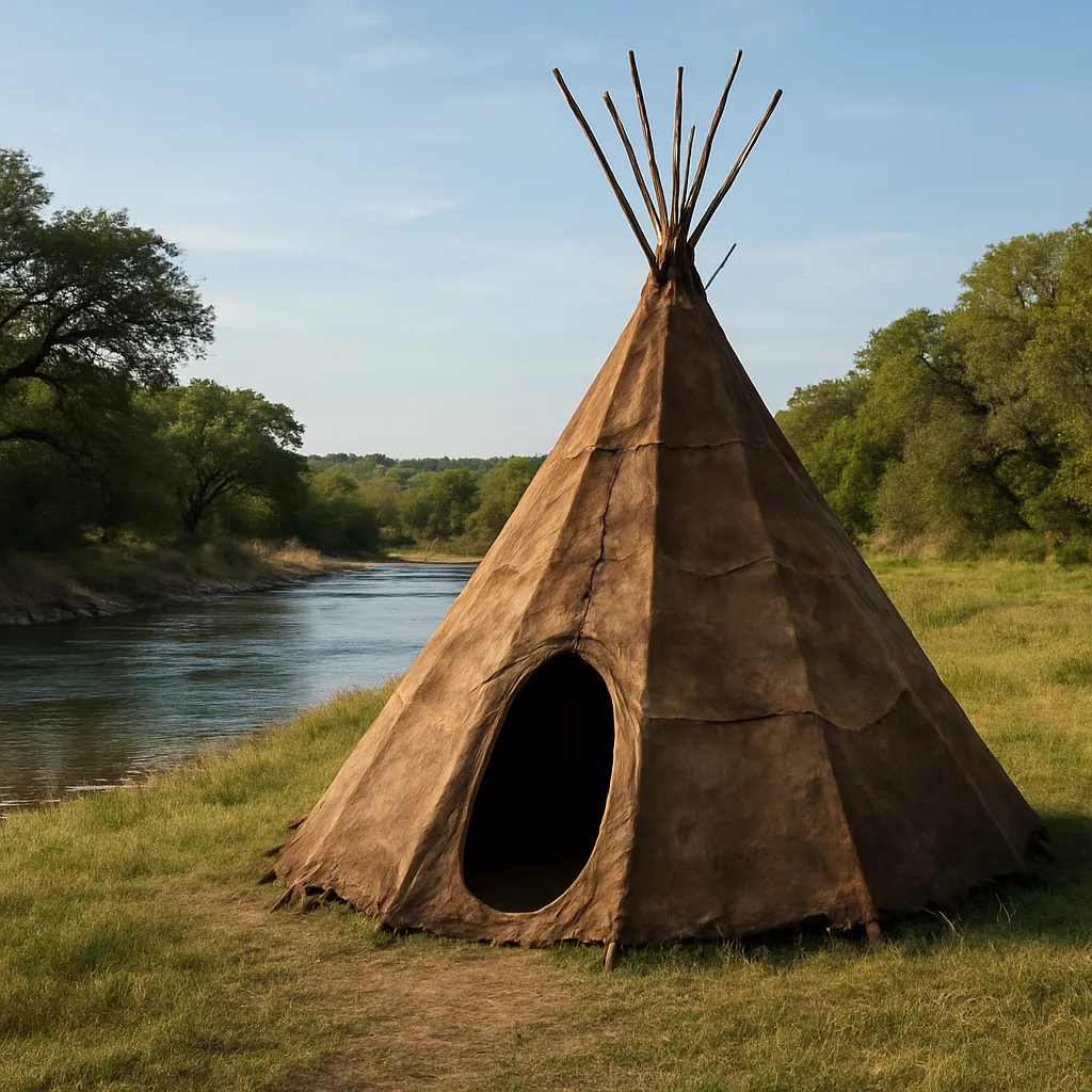
The Comanche and the Lipan Apache followed large bison herds across the high plains of western Texas. Why did a tepee fit that way of life so well?
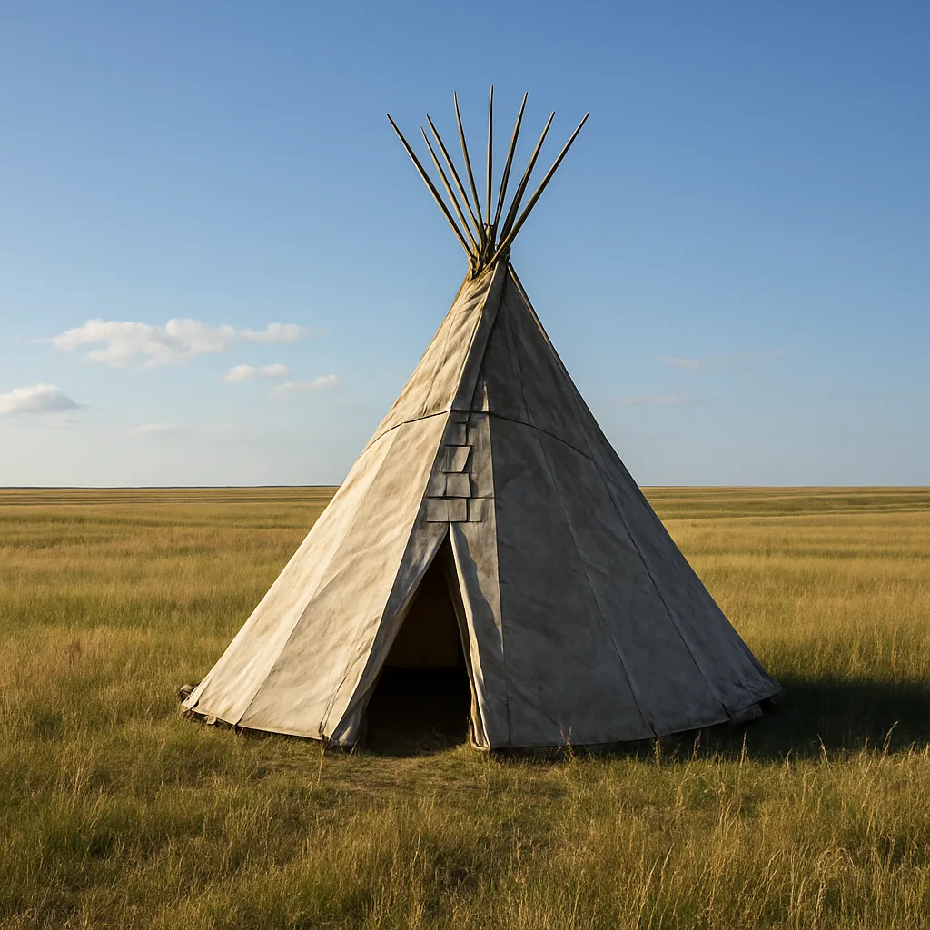
American Indian nations connected to the Texas region, such as the Caddo and the Comanche, still have communities, governments, and traditions today.
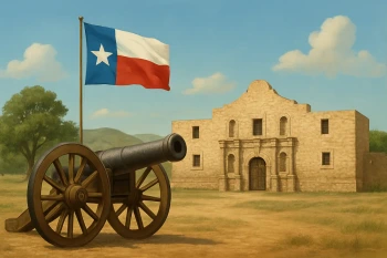
During the Texas Revolution, Mexican soldiers surrounded a mission-fort in San Antonio where a small group of Texans made a stand. Which battle is being described?
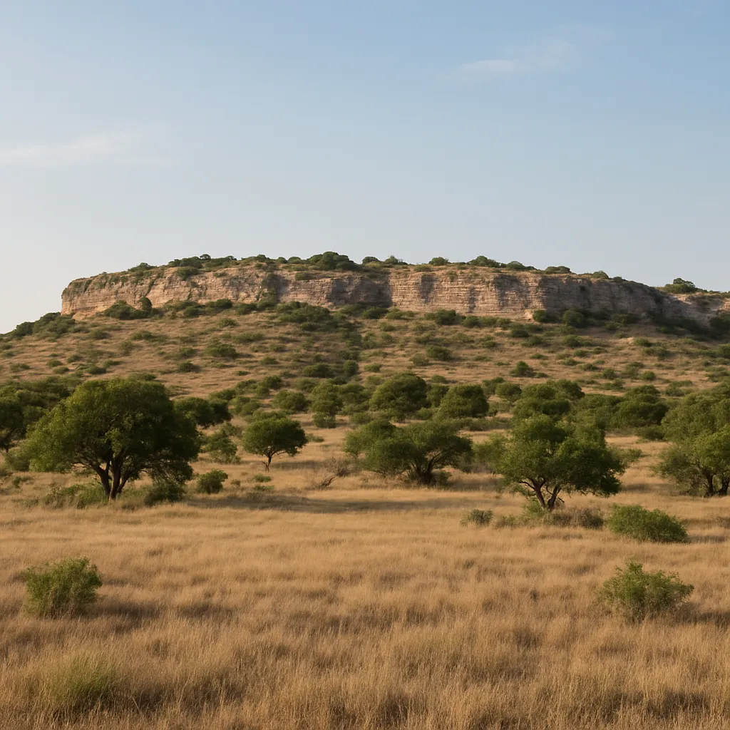
In central Texas a steep slope called the Balcones Escarpment separates the low Coastal Plains from higher land, and water flows out of the rock as springs. Why did towns grow along it?
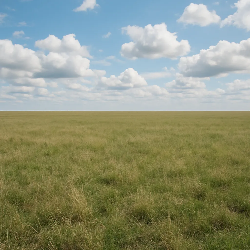
The Texas Panhandle is high, flat, and dry, with thick grass and very few trees. This land is part of which physical region?
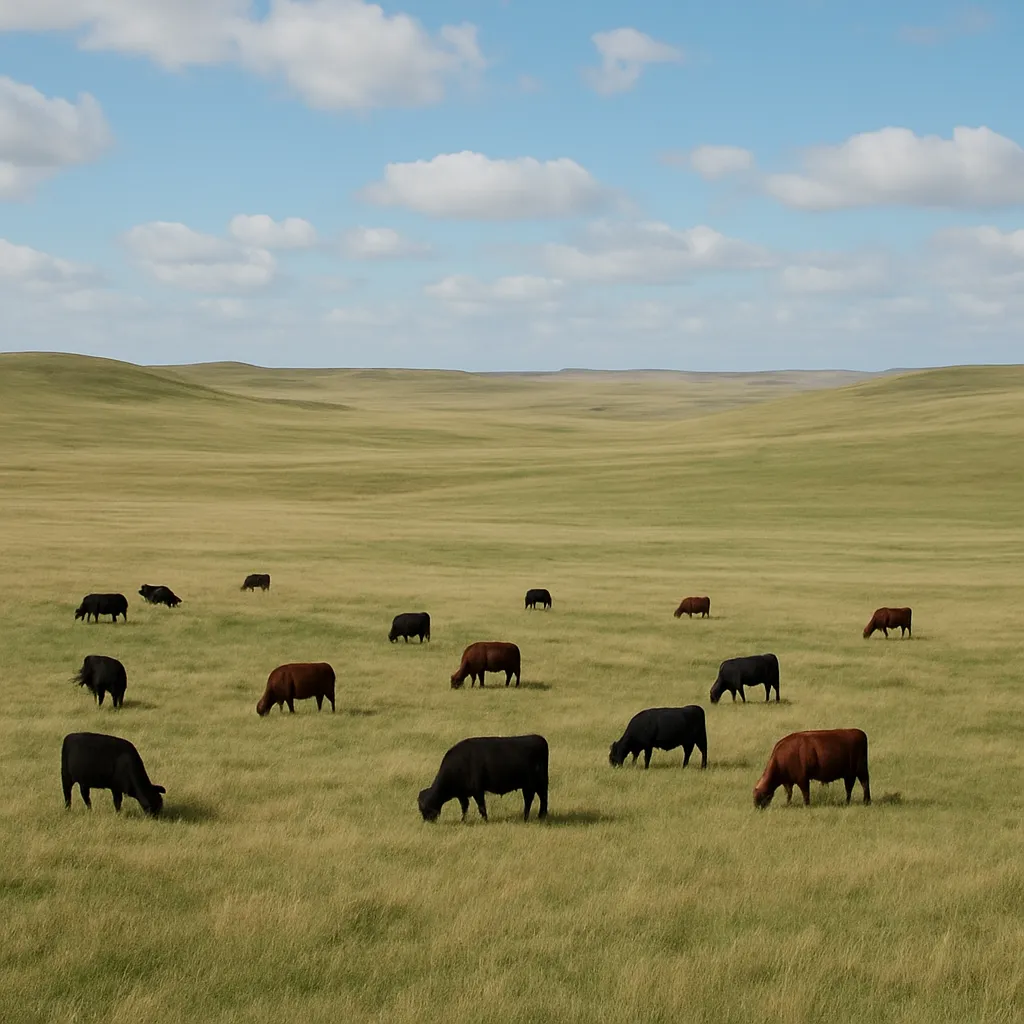
Between the Coastal Plains and the Great Plains lies a region of rolling prairie and low hills where the grass has long supported cattle ranching. Which region is it?
Which Texas region has pine forests, many rivers, and the homeland of many Caddo communities?
The Caddo lived in settled farming villages in the dry Mountains and Basins region of far West Texas.
Karankawa people rubbed oil on their skin to keep away the mosquitoes of the Gulf Coast marshes. Which natural resource did that oil often come from?
Why did some Gulf Coast Indigenous groups build portable shelters?
The Edwards Plateau in central Texas has thin soil over limestone and is used for raising sheep and goats. It belongs to which physical region?
In dry areas of South and West Texas, Indigenous peoples often depended on gathered plants such as prickly pear.
Which group moved into the Big Thicket of East Texas in the late 1700s and still lives on a reservation there today?
Which statement best explains how geography affected Indigenous ways of life in Texas?
Why were rivers important to many Indigenous communities in Texas?
The Great Plains supported large herds of bison, which became important to Plains peoples.
Which group became especially known for horse-mounted bison hunting on the Texas plains?
What was one way bison were useful to Plains Indigenous peoples?
Karankawa people lived mainly in far West Texas deserts.
Which nation lived in central Texas along the Brazos, Trinity, and Colorado Rivers and hunted bison with spears and arrows, sometimes driving herds off cliffs?
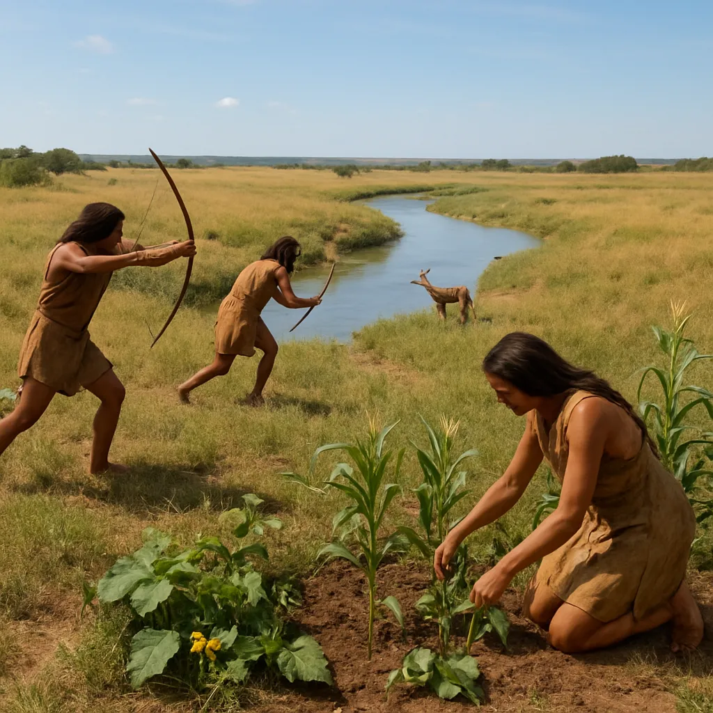
Before they gained horses through contact with the Spanish, one nation of the Texas plains hunted bison and deer on foot and also grew corn and squash along fertile riverbanks. Which nation is described?
Which resource from the Piney Woods helped Caddo people build homes and tools?
Jumano communities near rivers in the piney woods of East Texas were known for farming and trade.
Why was trade important among Indigenous peoples in Texas?
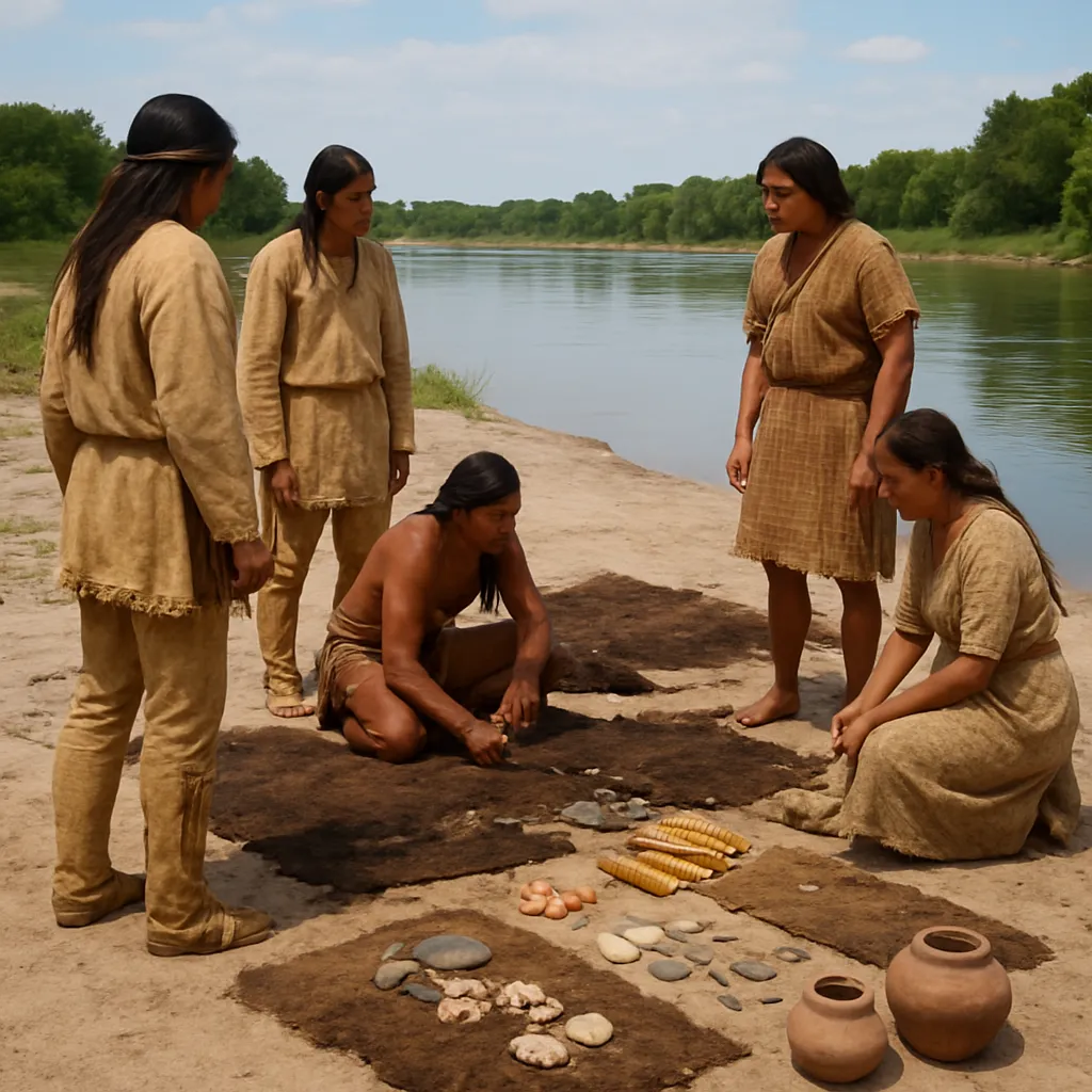
Which item would coastal groups most likely trade from their environment?
The Texas plains had few trees for firewood. What did Plains groups often burn for cooking fires instead?
Texas Indigenous groups all spoke the same language and had the same customs.
Which feature made the Gulf Coastal Plains useful for farming in some areas?
What is an adaptation?
Which example shows an adaptation to the Gulf Coast environment?
Which example shows an adaptation to the Great Plains environment?
Big Texas rivers such as the Brazos and the Colorado flow toward the southeast and empty into the Gulf of Mexico.
Which shelter is most closely connected with some Plains groups after horses became common?
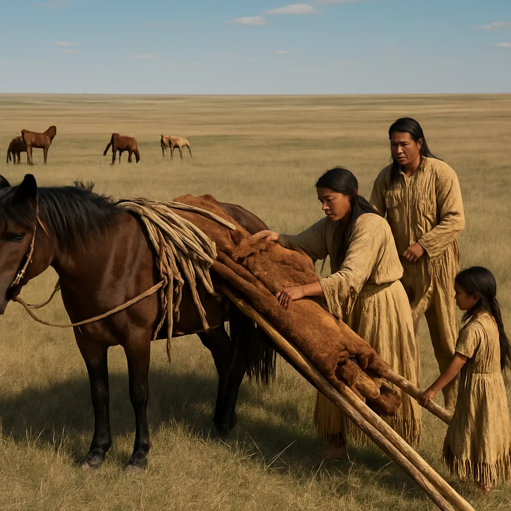
Why did Caddo villages stay in one place for many years while Comanche camps moved often?
Crack the passcode before the zombies get in.

Pick a tile, answer, hit bonuses and steals.
New York: Geography and Regions
40 questions