Loading
by BlastRoom
Locate Africa's major physical features and explain how they shape settlement and trade.
#world_regions#us_grade_7_social_studies
40 questions
One question set, multiple game modes. Tap any game to see it in action. Not sure which to pick?
Answer to place stones and capture territory.
Outrun the snow together.
Earn blasts, then hunt the other team.
Answer to earn energy, then climb.

The class blasts through walls together.
Bid on mystery lots. Most money wins.
Sell tours. Nice, standard, or a total scam.

Answer, restock, and serve the rush.
More correct answers pulls the rope your way.
Answer, then shoot down the alien wave.
Answer, then tap to leap the frozen ridge.
A huge dry region covers much of northern Africa and makes farming difficult away from oases. What is this region?
A semi-dry belt south of the Sahara has grassland, shrubs, and unreliable rainfall. What climate region is this?
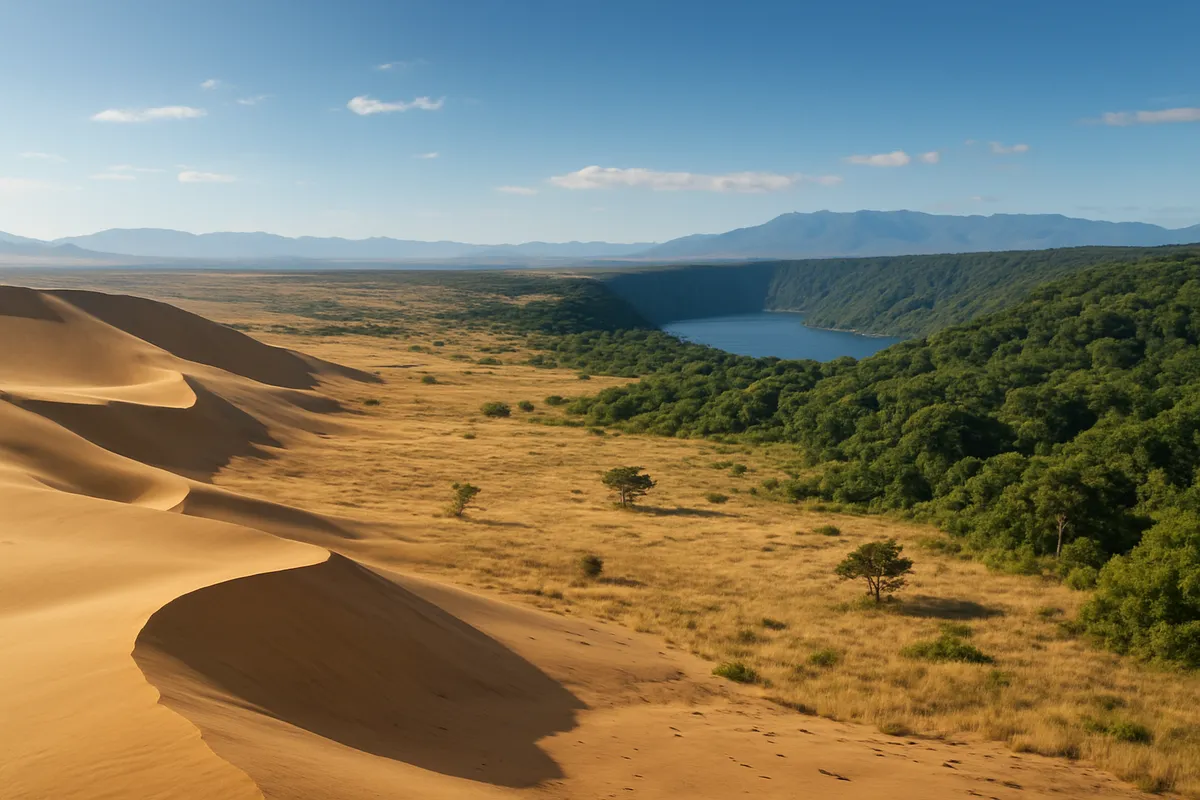
Central Africa has dense tropical rain forest and a huge river system. What major region matches these clues?
Africa's long river flowing north through Egypt to the Mediterranean Sea is the ___ River.
A long chain of deep lakes and steep cliffs runs through eastern Africa where Earth's crust has pulled apart. What is it called?
A large West African river starts in the highlands of Guinea, curves north into Mali, and then flows south to the Gulf of Guinea. What river is it?
Open grasslands with scattered trees cover much of eastern and southern Africa. What climate belt is this?
A very dry coastal desert lies along Namibia and is cooled by an ocean current. What desert is it?
A large desert and dry basin cover parts of Botswana, Namibia, and South Africa. What physical region is this?
Mountains in northwestern Africa stretch across Morocco, Algeria, and Tunisia. What are they called?
A broad, fertile area where the Nile spreads before entering the Mediterranean Sea is the Nile ___.
Near the equator in Africa, one climate is hot all year and gets heavy rain in most months. What climate is this?
In the Sahel, rainfall changes a lot from year to year, so grass and water move from place to place. What livelihood is most common there?
Farmers in Egypt's Nile Valley get almost no rain. What adaptation lets them grow crops?
In the Congo Basin, many families clear a small patch of forest, farm it for a few years, then move to a new patch. What is this farming method called?
On the savanna, grass grows tall in the wet season and dries out in the dry season. What livelihood fits best?
Caravans carried gold north from West Africa across the Sahara. What desert resource, mined at places like Taghaza, did they carry south to trade for it?
In Mediterranean-climate North Africa, wet winters and dry summers support what farming pattern?
Many communities around Lake Victoria in East Africa earn a living from what activities?
Which crop, now traded around the world, first grew wild in Ethiopia's cool, rainy highlands?
Along East Africa's Indian Ocean coast, seasonal monsoon winds helped sailors trade with which partners?
Near oases in the Sahara, reliable groundwater makes what livelihood possible?
How has the Sahara's dry climate affected settlement across most of North Africa?
The Nile River shaped Egypt by providing dependable water and fertile soil. What result followed?
Rapids and waterfalls block the Congo River near its mouth. How did this affect trade from the Atlantic Ocean?
The Great Rift Valley contains long lakes and steep escarpments. What effect did this have on movement?
In the Sahel, drought and overgrazing can turn grassland into desert. What is this process called?
The Atlas Mountains stand near North Africa's coast. How can mountains affect trade routes?
Cities like Timbuktu and Gao grew along the Niger River, far from the sea. How did the river affect them?
The Nile Delta has rich soil and sits on the Mediterranean Sea. Which city grew there as a major port?
Dense tropical rain forest in central Africa makes road building difficult. What trade pattern often becomes useful?
Most of Namibia's coast is covered by the very dry Namib Desert. How does this affect where people live?
In the 1960s, Egypt built a huge dam on the Nile to control floods and store water for farms. What is it called?
Traders need a route across northern Africa's desert between oases. What transportation method best fits the environment?
Africa's largest lake is shared by Uganda, Kenya, and Tanzania. What is it?
Before modern transport, which physical feature most separated North Africa from West Africa?
A port town wants the shortest ocean route between southern Africa and western Europe. Which coast should it be on?
Farmers want cooler temperatures and more rainfall than nearby lowlands in eastern Africa. What landform should they choose?
A huge waterfall on the Zambezi River between Zambia and Zimbabwe blocks boat travel. What is it called?
Africa's highest mountain is a snow-capped volcano in Tanzania. What is it called?
Crack the passcode before the zombies get in.
Answer, then swat bugs for bonus points.
Race through questions at your own speed.
Same question on every screen. Fastest wins.

Pick a tile, answer, hit bonuses and steals.
Southern and Eastern Asia: Rivers, Mountains and Seas
40 questions