Loading
by BlastRoom
Eastern Hemisphere climate zones, landforms, waterways, and resources for the New York Grade 6 geography unit.
#geography#us_grade_6_social_studies
20 questions
One question set, multiple game modes. Tap any game to see it in action. Not sure which to pick?
The Sahara spreads across northern Africa and receives very little rainfall in any season. Which climate zone does this pattern describe?
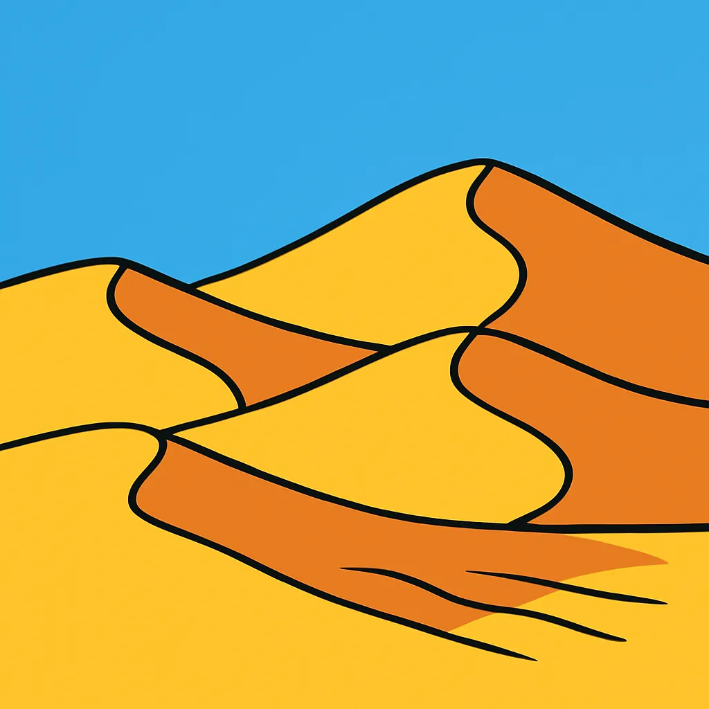
Where the Nile River reaches the Mediterranean Sea it splits into many channels and drops silt onto a wide triangular plain. What landform is this?
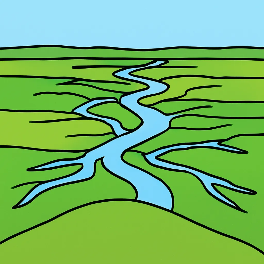
Which mountain range forms the northern barrier of South Asia and contains the world's highest peaks?
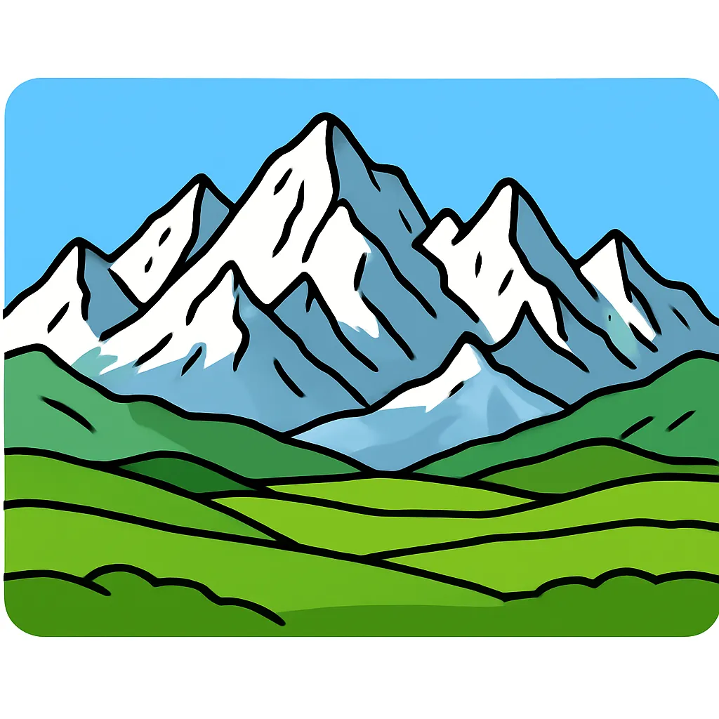
Across South Asia a seasonal wind reverses direction and carries heavy summer rain inland from the Indian Ocean. What is this seasonal wind pattern called?
Siberia, in Russia and neighboring states, has long, extremely cold winters and vast evergreen forests.
A wide, treeless grassland stretches across Central Asia and southern Russia and is used mainly for grazing herds. What landform region is this?
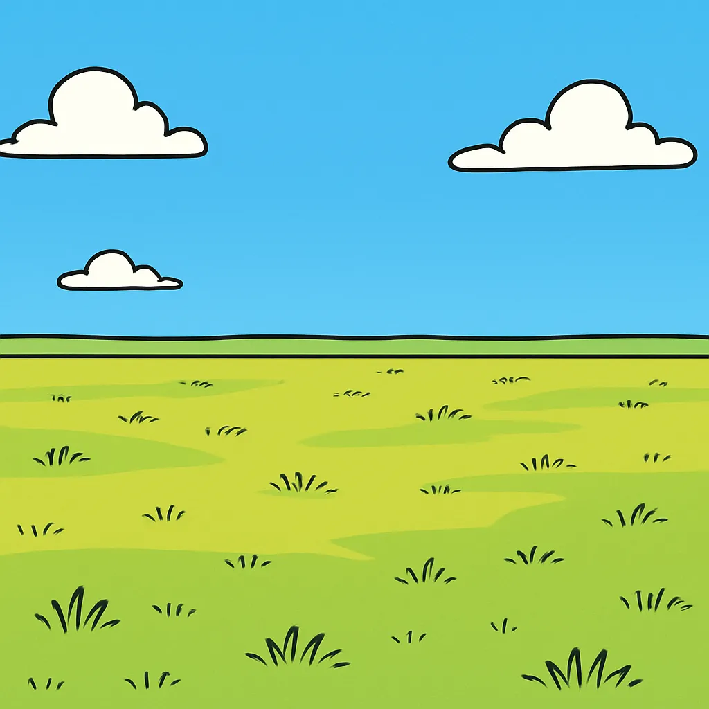
Just south of the Sahara lies a semi-arid belt of grass and shrubs that gets one short rainy season each year. What is this transition zone called?
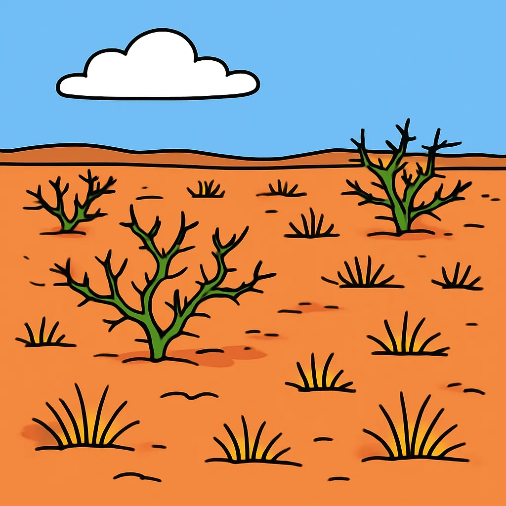
The Congo River basin in Sub-Saharan Africa sits near the equator and receives heavy rain all year. What vegetation covers most of this basin?
Lands around the Persian Gulf, in the Middle East and North Africa region, hold some of the world's largest reserves of which natural resource?
Australia's interior is mostly dry desert and scrubland with little fresh water. Where do most Australians live as a result?
A broad, flat lowland with fertile soil and good farmland stretches across Europe from France through Poland and into Russia. What is this region called?
Which two great rivers flow eastward across China and water much of the farmland of East Asia?
The coasts of southern Europe have hot, dry summers and mild, rainy winters. What climate zone is this?
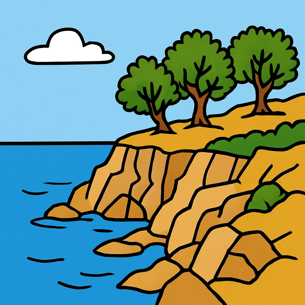
Which desert lies in East Asia, spreading across southern Mongolia and northern China?
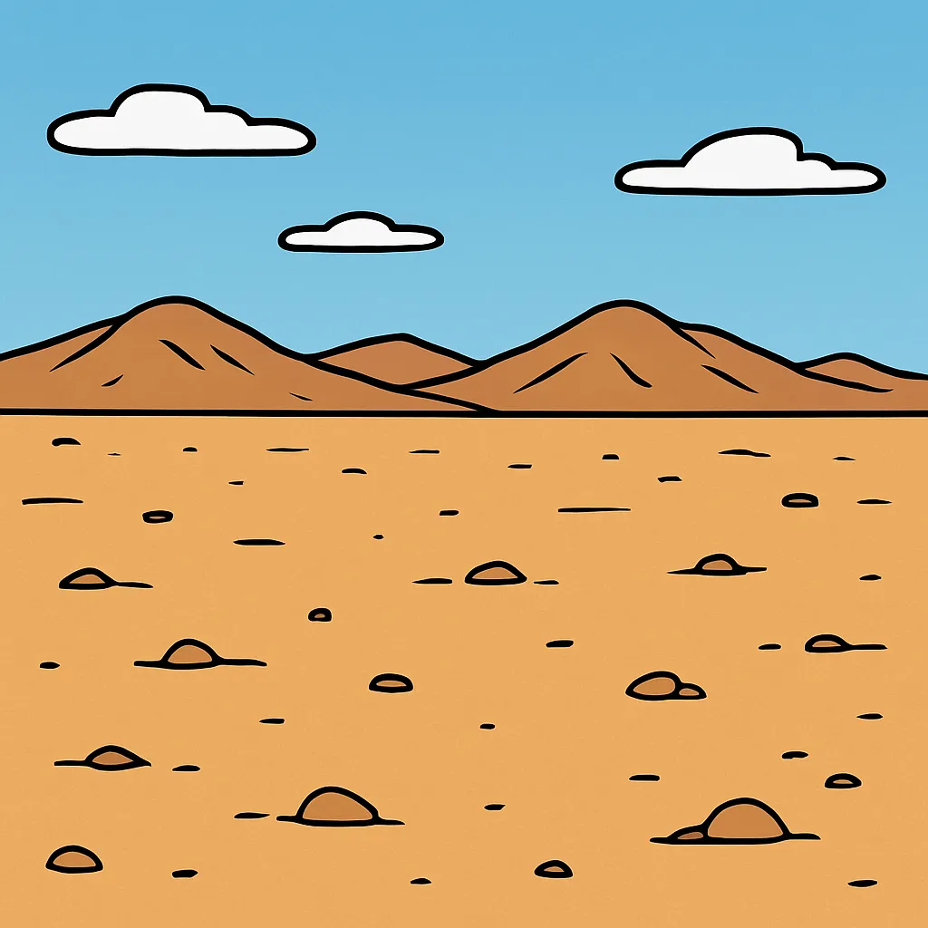
The Mekong River crosses Southeast Asia and ends in a broad, wet delta. Which crop is grown most widely on that flooded, flat land?
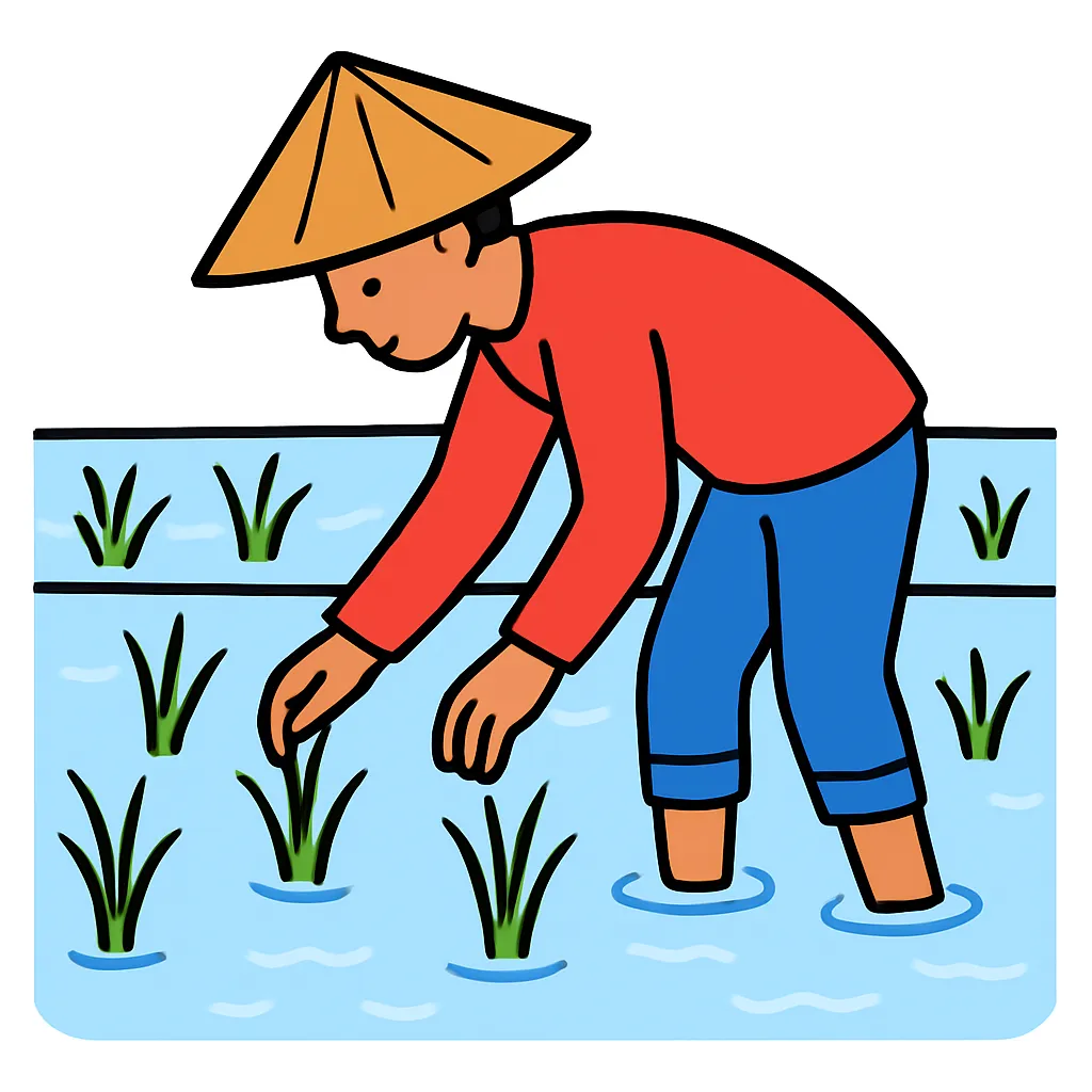
Which mountain range rises between the Black Sea and the Caspian Sea?
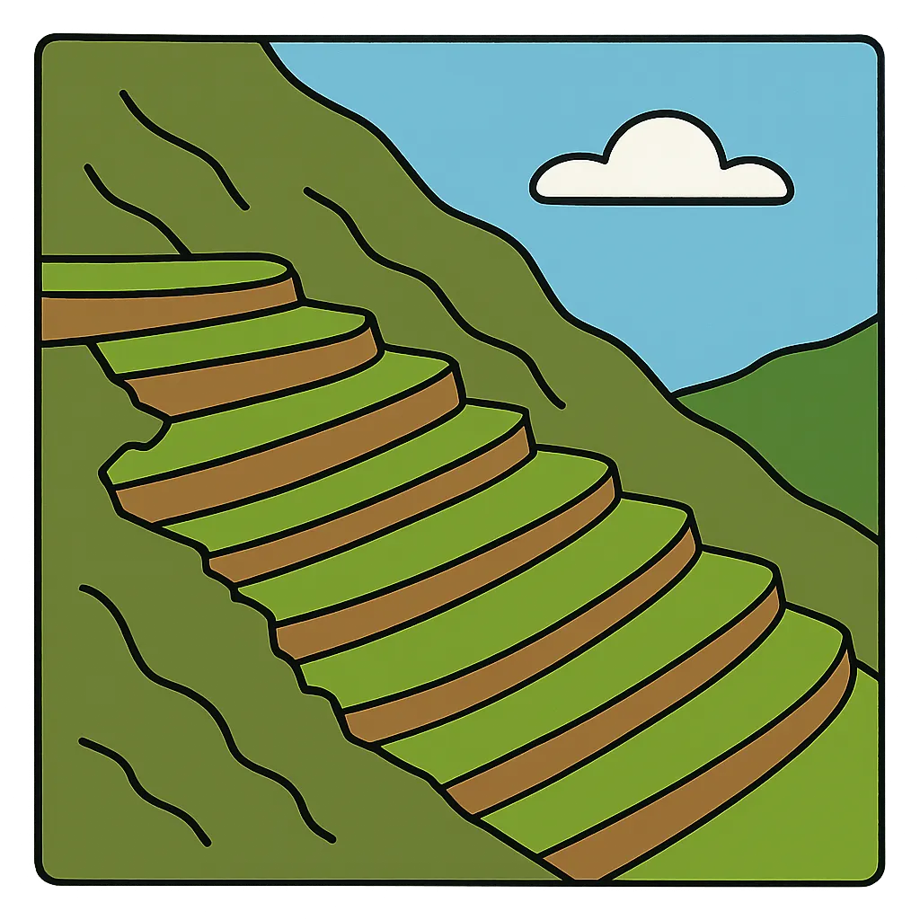
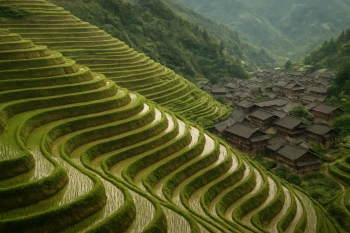
On steep hillsides in East and Southeast Asia, farmers cut flat steps into the slope so water stays on the fields. What is this practice called?
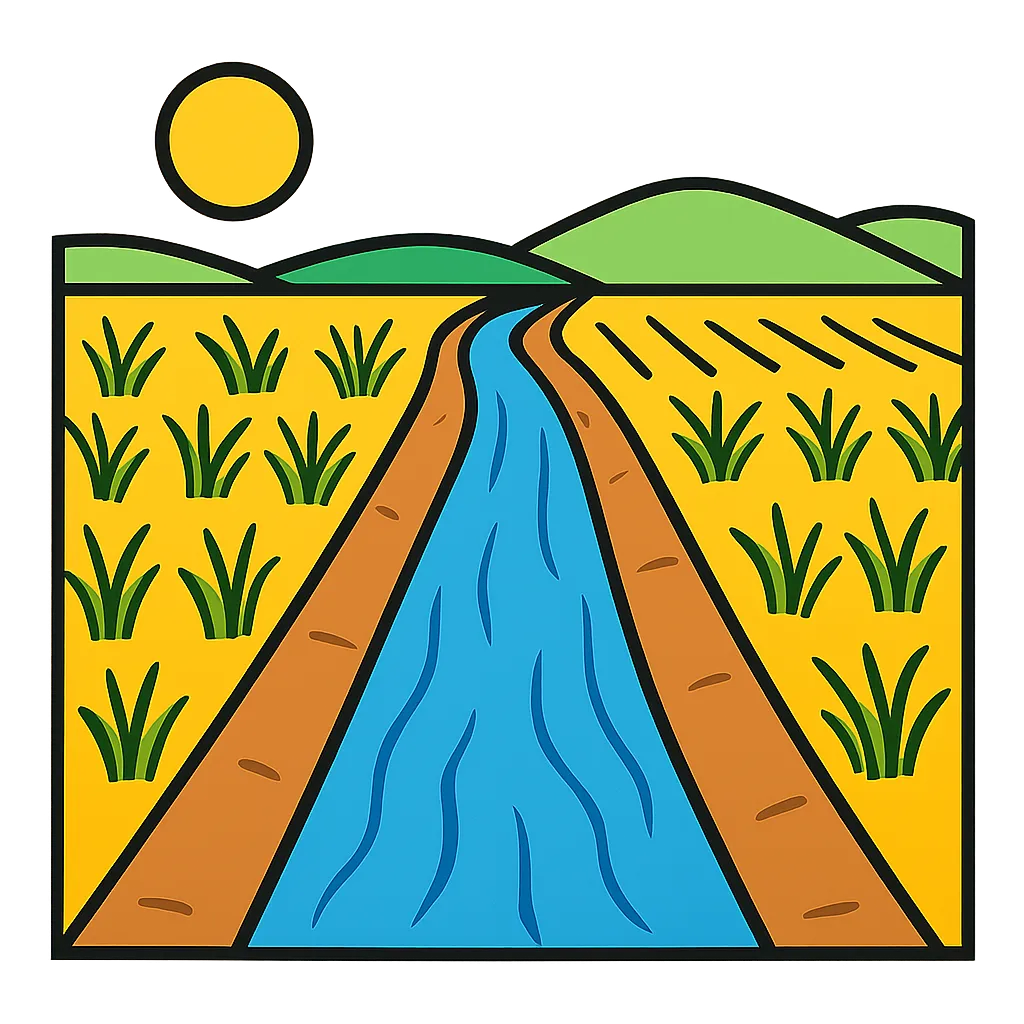
In dry parts of the Middle East and North Africa, farmers dig canals to carry river water to fields far from the river. Which human-environment interaction does this show?
A population density map of the Eastern Hemisphere shades the Ganges valley and eastern China darkest, meaning the most people per square mile. What physical feature best explains those clusters?
In arid parts of the Middle East and North Africa there is not enough fresh water to meet everyone's wants. Which economic idea does this shortage show?
Economic Development, Regulation, Taxation, and Indicators
20 questions
Language, Religion, Institutions, and the Arts
20 questions
Cultural Diffusion Through Trade, Travel, Migration, and Conflict
20 questions

Technology and Society
20 questions
Population, Land Use, Economic Activity, and Scarcity
20 questions
Crack the passcode before the zombies get in.

Pick a tile, answer, hit bonuses and steals.