Loading
by BlastRoom
Explore storm formation, tropical cyclone features, Philippine geography, and wind warnings.
#typhoons#matatag_science_8
20 questions
One question set, multiple game modes. Tap any game to see it in action. Not sure which to pick?
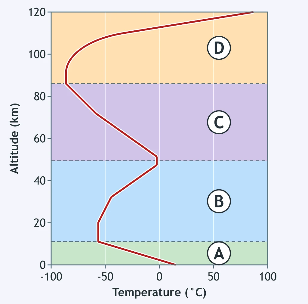
Which marked layer contains most of Earth's weather?
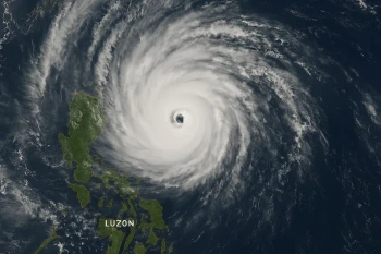
What does the boundary drawn around the archipelago mark?
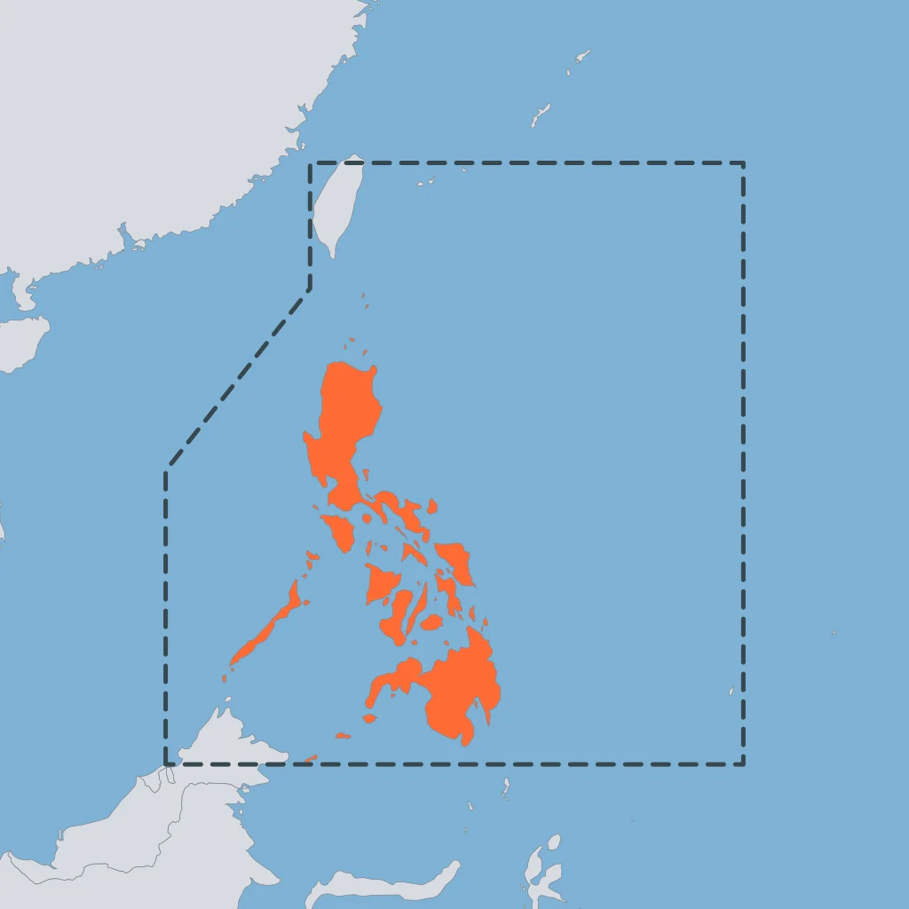
Which geographic factor best explains the Philippines' frequent exposure to typhoons?
What meets near the equator to create the ITCZ?
Which change in moist air helps thunderstorms develop in the ITCZ?
In a convection activity, why does water heated at the bottom move upward?
Which surface movement is typical around a low-pressure center?
Which sea-surface temperature is commonly cited as the minimum needed to support tropical cyclone development?
Which ocean-to-atmosphere process supplies water vapor to a developing tropical cyclone?
Why do tropical cyclones rarely develop directly over the equator?
What is the general term for an organized, rotating storm system that develops over warm oceans?
A system has maximum sustained winds of 75 km/h. How does PAGASA classify it?
A system reaches maximum sustained winds of 195 km/h. Which PAGASA classification applies?
What is the part marked A called?

Where are a mature typhoon's strongest sustained winds usually found?
What is the curved feature marked A?

Which pair of changes helps explain why a typhoon usually weakens after moving inland?
A town is placed under Tropical Cyclone Wind Signal No. 2. Which wind range should residents prepare for?
What is the standard warning lead time for Tropical Cyclone Wind Signal No. 3?
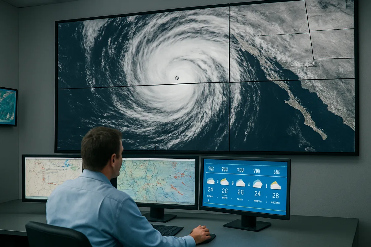
A coastal barangay must evacuate because of storm-surge risk. Which shelter location best addresses that risk?
Crack the passcode before the zombies get in.

Pick a tile, answer, hit bonuses and steals.
Typhoon Preparedness and Advisories
20 questions